Shirmers Wood
Wood, Forest in Kirkcudbrightshire
Scotland
Shirmers Wood
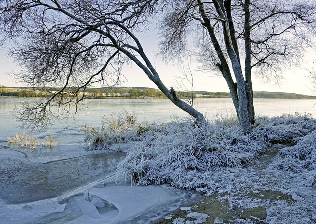
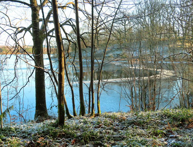
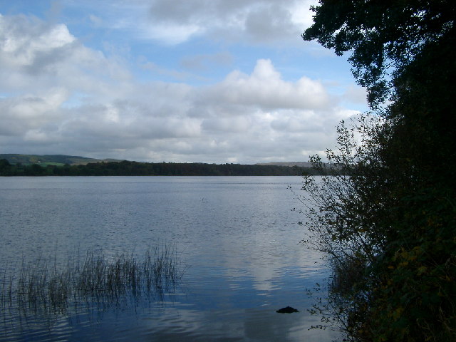
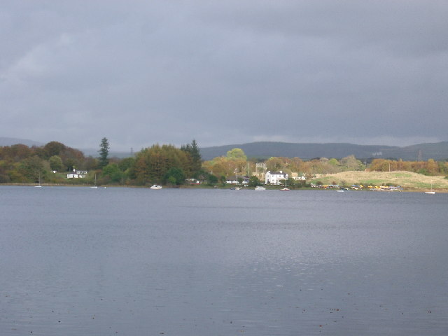
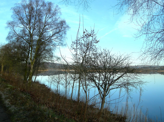
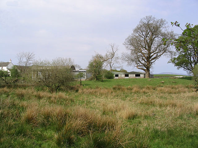
Shirmers Wood, located in Kirkcudbrightshire, Scotland, is a charming forested area renowned for its natural beauty and ecological significance. Spread across an expansive area, the wood is a captivating mix of mature trees, dense undergrowth, and a variety of flora and fauna.
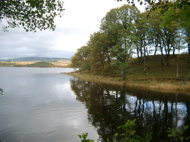
Covering several hectares, Shirmers Wood is predominantly made up of native broadleaf species, including oak, beech, and birch. These towering trees create a dense canopy, allowing only dappled sunlight to filter through to the forest floor. The woodland is a haven for wildlife, providing shelter and sustenance for a diverse range of species. Birdwatchers can delight in spotting a variety of birds, including woodpeckers, owls, and various songbirds.
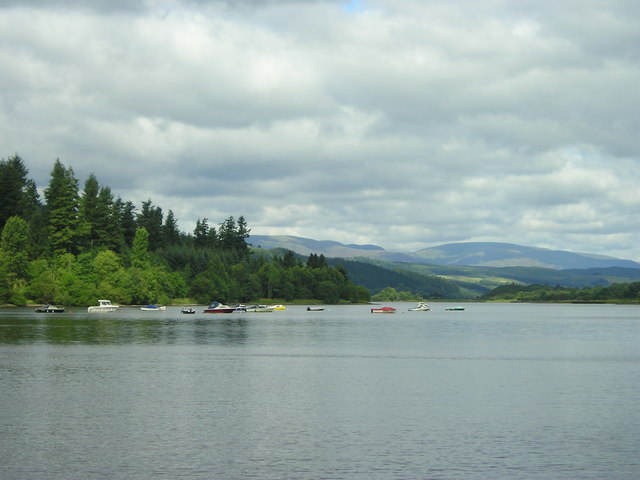
The forest floor is carpeted with a rich tapestry of wildflowers, ferns, and mosses, creating a vibrant and colorful undergrowth. Visitors can explore the wood via a network of well-maintained footpaths, which wind their way through the trees and allow for leisurely walks and nature hikes. There are also designated picnic areas where visitors can relax and enjoy the peaceful ambiance of the wood.
Shirmers Wood is not only a haven for nature enthusiasts but also a valuable resource for scientific research and conservation efforts. The wood is part of a wider network of protected areas in the region, ensuring the preservation of its unique ecosystem. Local authorities actively manage the wood, implementing sustainable practices to maintain its biodiversity and natural integrity.
Overall, Shirmers Wood in Kirkcudbrightshire offers a picturesque and tranquil retreat for those seeking a connection with nature. Its stunning landscapes, rich biodiversity, and well-maintained facilities make it a popular destination for both locals and tourists alike.
If you have any feedback on the listing, please let us know in the comments section below.
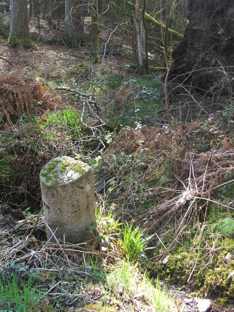
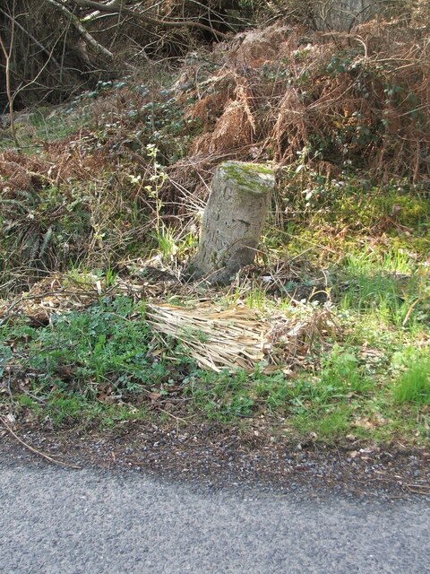
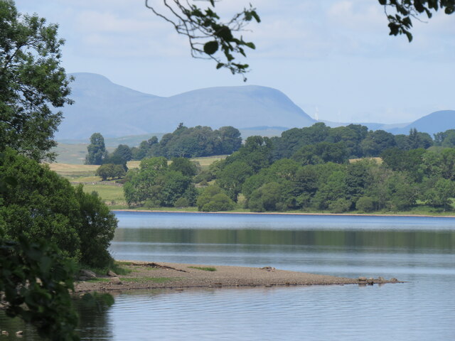
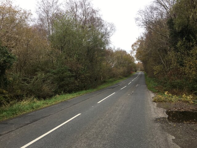
Shirmers Wood Images
Images are sourced within 2km of 55.044006/-4.1073185 or Grid Reference NX6574. Thanks to Geograph Open Source API. All images are credited.
Shirmers Wood is located at Grid Ref: NX6574 (Lat: 55.044006, Lng: -4.1073185)
Unitary Authority: Dumfries and Galloway
Police Authority: Dumfries and Galloway
What 3 Words
///duet.ghost.hiker. Near Castle Douglas, Dumfries & Galloway
Nearby Locations
Related Wikis

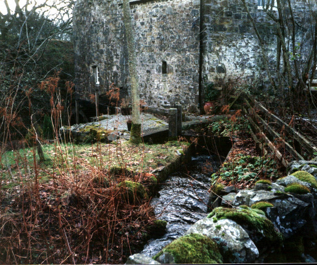
Ironmacannie Mill
Ironmacannie Mill is a historic watermill near Balmaclellan in Dumfries and Galloway, Scotland. Built in the 18th and 19th centuries, on the site of an...

Galloway
Galloway (Scottish Gaelic: Gall-Ghàidhealaibh [ˈkal̪ˠaɣəl̪ˠu]; Scots: Gallowa; Latin: Gallovidia) is a region in southwestern Scotland comprising the historic...

Kenmure Castle
Kenmure Castle is a fortified house or castle in The Glenkens, 1 mile (1.6 km) south of the town of New Galloway in Kirkcudbrightshire, Galloway, south...

Water of Ken
The Water of Ken is a river in the historical county of Kirkcudbrightshire in Galloway, south-west Scotland. It rises on Blacklorg Hill, north-east of...

New Galloway railway station
New Galloway railway station served the town of New Galloway in Dumfries and Galloway, Scotland, from 1861 to 1965 on the Portpatrick and Wigtownshire...

New Galloway
New Galloway (Scottish Gaelic: Gall-Ghàidhealaibh Nuadh) is a town in the historical county of Kirkcudbrightshire in Dumfries and Galloway. It lies on...

New Galloway Town Hall
The New Galloway Town Hall is a municipal building in Dumfries and Galloway, Scotland, situated on the town's high street. A tolbooth has existed on the...

Airds of Kells
Airds of Kells is a farm and small estate in the historical county of Kirkcudbrightshire in the parish of Kells, Dumfries and Galloway, Scotland. The...
Nearby Amenities
Located within 500m of 55.044006,-4.1073185Have you been to Shirmers Wood?
Leave your review of Shirmers Wood below (or comments, questions and feedback).