Carlby

Settlement in Lincolnshire South Kesteven

England

Carlby

Saponaria officinalis Common Soapwort growing in a verge.  There is an extensive patch of it - see <a href="https://www.geograph.org.uk/photo/6946317">TF0513 : A flowering verge</a>.

The plant has a list of common names as long as my arm - have a look at <span class="nowrap"><a title="https://www.rhs.org.uk/plants/16441/Saponaria-officinalis/Details" rel="nofollow ugc noopener" href="https://www.rhs.org.uk/plants/16441/Saponaria-officinalis/Details">Link</a><img style="margin-left:2px;" alt="External link" title="External link - shift click to open in new window" src="https://s1.geograph.org.uk/img/external.png" width="10" height="10"/></span> .  The only other name I recognise on there is "Jill-run-by-the-street".
Saponaria officinalis Credit: Bob Harvey

Carlby is a small village located in the county of Lincolnshire, England. Situated approximately 5 miles southeast of the town of Stamford, Carlby is nestled amidst picturesque countryside and offers a tranquil setting for its residents.

With a population of around 300 people, Carlby is known for its close-knit community and friendly atmosphere. The village is primarily residential, consisting of a mix of traditional cottages and modern houses. The architecture reflects the area's rich history, with some buildings dating back several centuries.

Although Carlby is a small village, it boasts a number of amenities that cater to the needs of its residents. These include a village hall, a primary school, and a local pub, which serves as a social hub for the community. The village hall hosts various events and activities throughout the year, fostering a sense of community spirit.

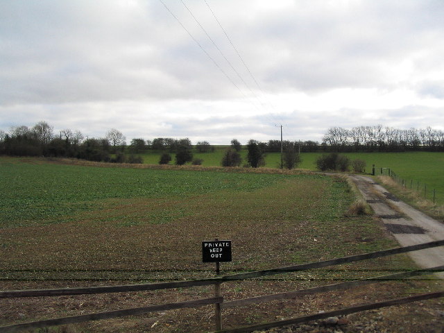
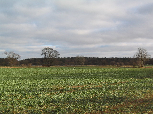
Surrounded by lush green fields and rolling hills, Carlby offers ample opportunities for outdoor activities and exploration. The village is located close to the River Welland, providing access to scenic walks and fishing spots. Additionally, the nearby Stamford Meadows Nature Reserve attracts nature enthusiasts with its diverse wildlife and beautiful landscapes.

Overall, Carlby is a charming village that offers a peaceful and idyllic lifestyle. Its close proximity to Stamford ensures that residents have easy access to a wider range of amenities, while still enjoying the tranquility of village life.

If you have any feedback on the listing, please let us know in the comments section below.

Carlby Images

Images are sourced within 2km of 52.713523/-0.44613 or Grid Reference TF0514. Thanks to Geograph Open Source API. All images are credited.

Saponaria officinalis Common Soapwort growing in a verge.  There is an extensive patch of it - see <a href="https://www.geograph.org.uk/photo/6946317">TF0513 : A flowering verge</a>.

The plant has a list of common names as long as my arm - have a look at <span class="nowrap"><a title="https://www.rhs.org.uk/plants/16441/Saponaria-officinalis/Details" rel="nofollow ugc noopener" href="https://www.rhs.org.uk/plants/16441/Saponaria-officinalis/Details">Link</a><img style="margin-left:2px;" alt="External link" title="External link - shift click to open in new window" src="https://s1.geograph.org.uk/img/external.png" width="10" height="10"/></span> .  The only other name I recognise on there is "Jill-run-by-the-street".
Saponaria officinalis
Common Soapwort growing in a verge. There is an extensive patch of it - see TF0513 : A flowering verge. The plant has a list of common names as long as my arm - have a look at LinkExternal link . The only other name I recognise on there is "Jill-run-by-the-street".
A flowering verge A patch of Common Soapwort in the grass verge beside Carlby Road.  See <a href="https://www.geograph.org.uk/photo/6946315">TF0513 : Saponaria officinalis</a>.
A flowering verge
A patch of Common Soapwort in the grass verge beside Carlby Road. See TF0513 : Saponaria officinalis.
East Lodge This field is known as East Lodge, after a building that once stood there.  The crop is of field beans, drying rapidly but not yet ready for harvest.  Diagonally across the left the row of trees is the trackbed of the former railway from Bourne to Essendine.
East Lodge
This field is known as East Lodge, after a building that once stood there. The crop is of field beans, drying rapidly but not yet ready for harvest. Diagonally across the left the row of trees is the trackbed of the former railway from Bourne to Essendine.
Carlby Road A simple lane between Carlby and Greatford, here looking toward Greatford.  The trees have mostly been planted since I got married, historically this was an open heathland landscape.  The wide verges might hint at an ancient route - it does head toward one of the places called Stowe - but it is likely to be an enclosure-era adoption of an earlier track on high ground that granted the width.
Carlby Road
A simple lane between Carlby and Greatford, here looking toward Greatford. The trees have mostly been planted since I got married, historically this was an open heathland landscape. The wide verges might hint at an ancient route - it does head toward one of the places called Stowe - but it is likely to be an enclosure-era adoption of an earlier track on high ground that granted the width.
Overhead power coupling The frame across the tracks forms part of the electrical feed to the overhead lines on the East Coast Main Line
Overhead power coupling
The frame across the tracks forms part of the electrical feed to the overhead lines on the East Coast Main Line
The gate The gate at the end of Station Road
The gate
The gate at the end of Station Road
Railway information The sign on <a href="https://www.geograph.org.uk/photo/6951544">TF0412 : The gate</a>.

The Essendine feeder station is part of the 25kV supply system for the East Coast Main Line - it is feed from the Ryhall Substation at <a href="https://www.geograph.org.uk/photo/6951473">TF0411 : 400kV substation</a>.  I was unable to get closer than this to the feed station, which is at TF 0494 1213.
Railway information
The sign on TF0412 : The gate. The Essendine feeder station is part of the 25kV supply system for the East Coast Main Line - it is feed from the Ryhall Substation at TF0411 : 400kV substation. I was unable to get closer than this to the feed station, which is at TF 0494 1213.
A flag for Ukraine There is a lot of solidarity in the UK with the people of the Ukraine, beset with evil invaders.
A flag for Ukraine
There is a lot of solidarity in the UK with the people of the Ukraine, beset with evil invaders.
Village Green at Essendine
The West Glen River at Essendine Looking downstream.
The West Glen River at Essendine
Looking downstream.
Essendine Church St Mary's Church was originally the chapel for the nearby castle (of which only earthworks survive). The chancel is unusual in being taller than the nave, due to it having been rebuilt in the early 19C.  The south doorway has a Norman arch with a carved tympanum showing a demi-figure of Christ and two angels, a motif more usual in France than in England.
Essendine Church
St Mary's Church was originally the chapel for the nearby castle (of which only earthworks survive). The chancel is unusual in being taller than the nave, due to it having been rebuilt in the early 19C. The south doorway has a Norman arch with a carved tympanum showing a demi-figure of Christ and two angels, a motif more usual in France than in England.
Church of St Stephen, Carlby
Carlby, with Church of St Stephen
Old in new, near Essendine A curiously anachronistic window in the gable end of this cottage: perhaps a homage to an earlier building?
Old in new, near Essendine
A curiously anachronistic window in the gable end of this cottage: perhaps a homage to an earlier building?
'East Coast' rail line near Carlby
Keep out of TF0512
Keep out of TF0512
Bridge on footpath from Carlby to Braceborough
Braceborough Great Wood
Show me another place!

Carlby is located at Grid Ref: TF0514 (Lat: 52.713523, Lng: -0.44613)

Division: Parts of Kesteven

Administrative County: Lincolnshire

District: South Kesteven

Police Authority: Lincolnshire

What 3 Words

///highlight.speakers.fixed. Near Essendine, Rutland

Nearby Locations

Carlby Hawes Carlby

Related Wikis

Carlby

Carlby is a small village and civil parish in the district of South Kesteven in Lincolnshire, England. The population of the civil parish at the 2011 census...

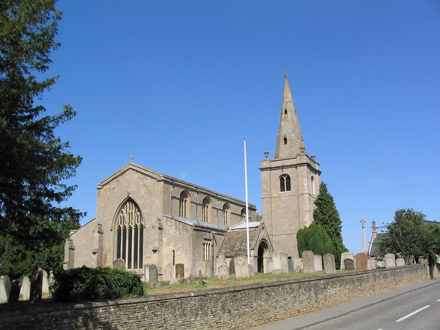
Church of St Mary Magdalene, Essendine

The Church of St Mary Magdalene is a church in Essendine, Rutland. It is a Grade II* listed building. == History == The small church is built within the...

Essendine railway station

Essendine railway station was a station in Essendine, Rutland. It was situated on the East Coast Main Line of the Great Northern Railway. == Overview... ==

Essendine

Essendine is a village and civil parish at the eastern end of the county of Rutland in the East Midlands of England, located 5 miles (7 km) north of Stamford...

Bowthorpe Oak

Bowthorpe Oak in Manthorpe near Bourne, Lincolnshire, is a gigantic and ancient pedunculate oak in England. The tree has a circumference of about 44 feet...

Braceborough Spa Halt railway station

Braceborough Spa railway station was a station in Braceborough Spa, Lincolnshire on the Bourn and Essendine Railway between Essendine and Bourne. It was...

Witham on the Hill

Witham on the Hill is a village and civil parish in the South Kesteven district of Lincolnshire, England. The population of the civil parish was 260 at...
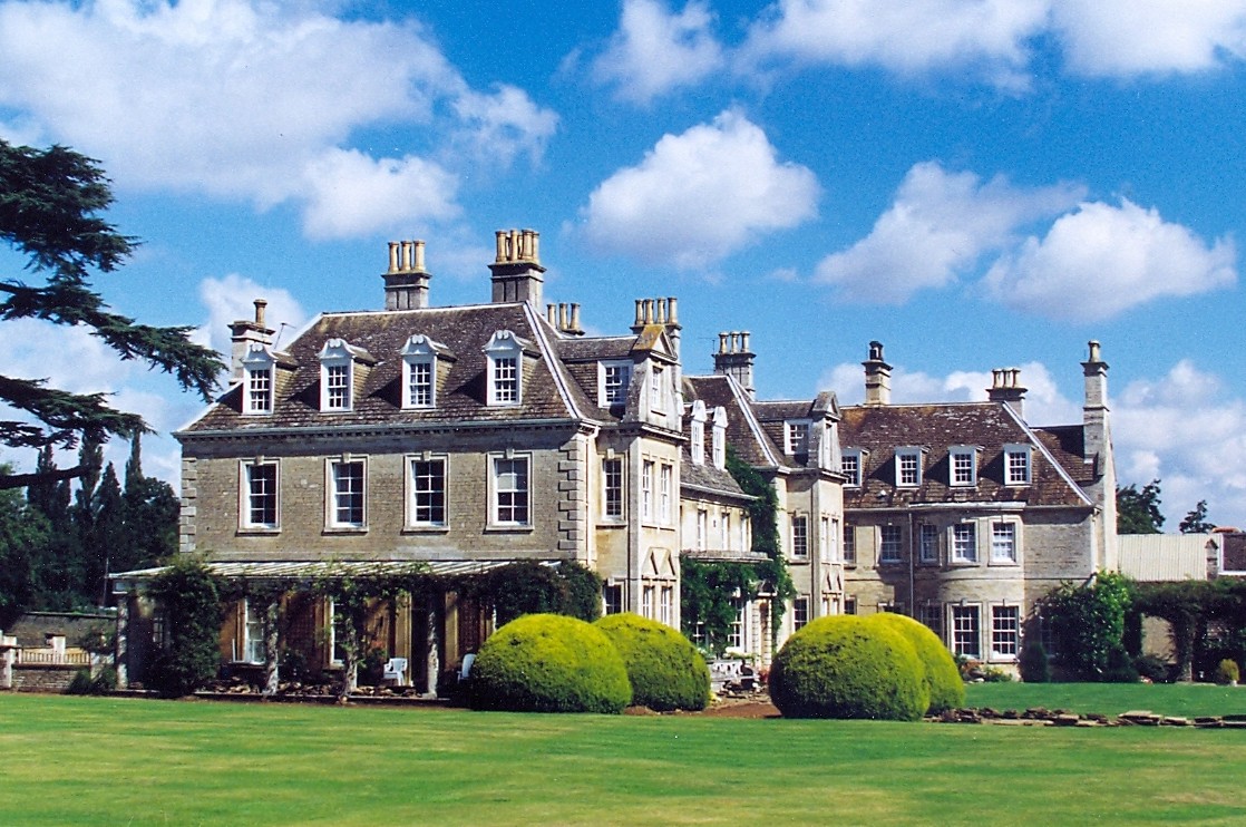
Witham Hall

Witham Hall is an independent boarding and day school situated in Witham on the Hill, Lincolnshire, England. == The hall == The house is described by Sir...

Nearby Amenities

Located within 500m of 52.713523,-0.44613
Carlby
Place: village
Population: 542
Population Date: 2011
Source Population: wikipedia
Wikidata: Q594132
Wikipedia: en:Carlby
Lat/Long: 52.7139694/-0.4473501
Bus Stop
High Street
Naptan AtcoCode: 270000009020
Naptan Bearing: S
Naptan CommonName: High Street
Naptan Indicator: S - bound
Naptan Landmark: High Street
Naptan NaptanCode: lingwmtw
Naptan Street: Stamford Road
Naptan Verified: no
Source: naptan_import
Lat/Long: 52.7122634/-0.442865
Bus Stop
High Street
Naptan AtcoCode: 2700LCBS0931
Naptan Bearing: N
Naptan CommonName: High Street
Naptan Indicator: N - bound
Naptan Landmark: High Street
Naptan NaptanCode: linagpwg
Naptan Street: Stamford Road
Naptan Verified: no
Source: naptan_import
Lat/Long: 52.7131402/-0.4432187
Turning Circle
Lat/Long: 52.7127552/-0.4438745
Historic Name: Home Farm
Place: farm
Source: Bing
Lat/Long: 52.7143745/-0.4459998
Poplars Farm
Place: farm
Lat/Long: 52.7144397/-0.4496884
The Chestnuts Farm
Place: farm
Lat/Long: 52.7140367/-0.4514051
Entrance: yes
Lat/Long: 52.713681/-0.4460719
Defibrillator
Defibrillator Location: outside Carlby Village Hall - to left of entrance
Emergency: defibrillator
Indoor: no
Ref: AA31
Lat/Long: 52.7136952/-0.4460831
Advertising: board
Lat/Long: 52.7136245/-0.4459797
Post Box
Post Box Type: pillar
Royal Cypher: EIIR
Royal Cypher Wikidata: Q33102113
Lat/Long: 52.7131598/-0.4459716
Booth: K6
Removed Amenity: telephone
Lat/Long: 52.7131706/-0.4460048
Barrier: stile
Lat/Long: 52.7146108/-0.447019
The data included in this document is from www.openstreetmap.org. The data is made available under ODbL.

Have you been to Carlby?

Leave your review of Carlby below (or comments, questions and feedback).