Broom Wood

Wood, Forest in Kirkcudbrightshire

Scotland

Broom Wood

A frosty morning on Loch Ken An early morning shot of the shady side of Loch Ken, viewed in very cold December weather.
A frosty morning on Loch Ken Credit: Mary and Angus Hogg

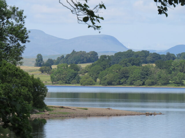
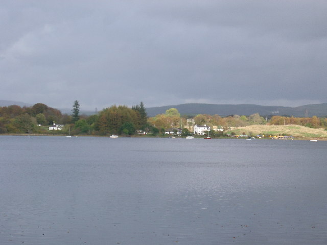
Broom Wood is a picturesque woodland located in the historic county of Kirkcudbrightshire in Scotland. Situated near the charming town of Kirkcudbright, this woodland is a haven for nature enthusiasts and those seeking tranquility amidst the beauty of the Scottish countryside.

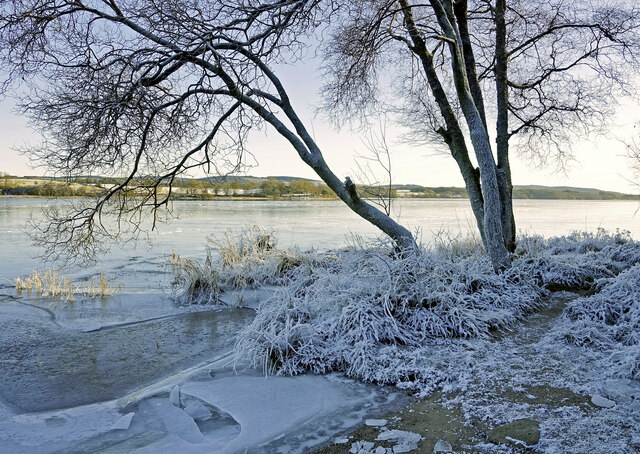
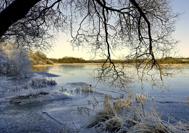
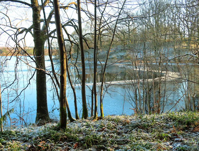
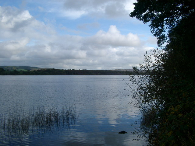
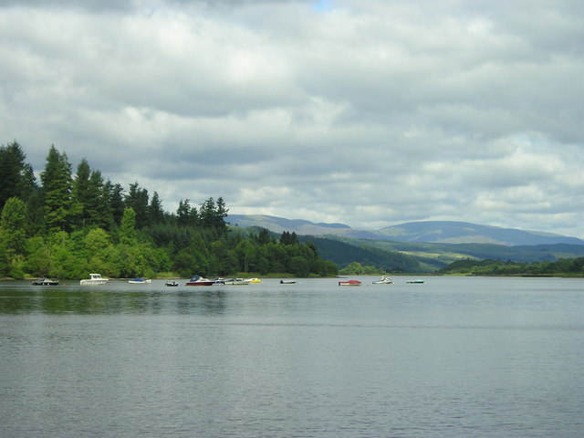
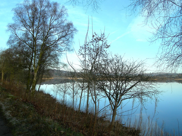
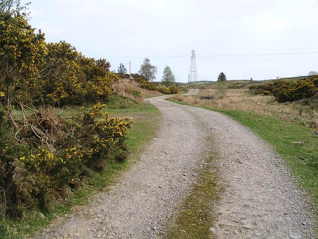
Covering an area of approximately 50 acres, Broom Wood is predominantly composed of native broadleaf trees, including oak, birch, and beech. The dense canopy provides ample shade during the summer months, creating a cool and refreshing atmosphere for visitors. The forest floor is adorned with a plethora of wildflowers, adding vibrant bursts of color to the landscape.

A network of well-maintained paths weaves through the wood, allowing visitors to explore its various nooks and crannies. These paths cater to both leisurely strolls and more adventurous hikes, providing something for everyone. The rambler can discover peaceful glades, babbling brooks, and hidden clearings, while the more intrepid explorer can venture deeper into the wood to discover its more secluded and mysterious corners.

Broom Wood is home to an array of wildlife, making it a popular destination for birdwatching and animal spotting. Visitors may be lucky enough to catch a glimpse of red squirrels, roe deer, or even the elusive pine marten. The woodland is also teeming with birdlife, with species such as woodpeckers, owls, and warblers frequenting the area.

Overall, Broom Wood offers a serene and enchanting escape from the hustle and bustle of everyday life. Whether it's a leisurely stroll, a family picnic, or an exploration of its hidden gems, this woodland provides a memorable experience for all who visit.

If you have any feedback on the listing, please let us know in the comments section below.
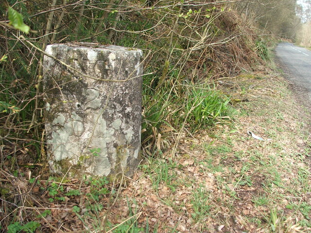
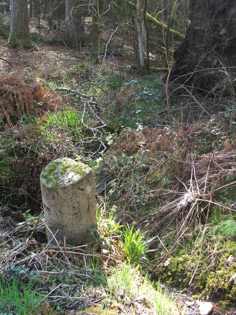
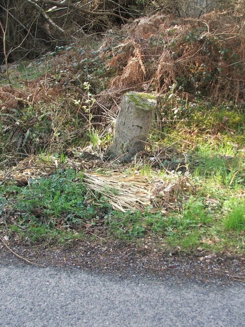
Broom Wood Images

Images are sourced within 2km of 55.049672/-4.1117961 or Grid Reference NX6574. Thanks to Geograph Open Source API. All images are credited.

A frosty morning on Loch Ken An early morning shot of the shady side of Loch Ken, viewed in very cold December weather.
A frosty morning on Loch Ken
An early morning shot of the shady side of Loch Ken, viewed in very cold December weather.
Little Kenmure Loch The northern end of Loch Ken viewed on a chilly December morning.
Little Kenmure Loch
The northern end of Loch Ken viewed on a chilly December morning.
Cadger's Loop The edge of Loch Ken viewed on a frosty December morning.
Cadger's Loop
The edge of Loch Ken viewed on a frosty December morning.
Old milestone 2 miles south from New Galloway and overlooking Loch Ken, this stone is at the northern end of a small rough lay-by on the west side of the road.
Old milestone
2 miles south from New Galloway and overlooking Loch Ken, this stone is at the northern end of a small rough lay-by on the west side of the road.
Old milestone Looking northwards the narrow A762 leads to New Galloway then onto the A713 to St John's Town of Dalry 4¼ miles away.
Old milestone
Looking northwards the narrow A762 leads to New Galloway then onto the A713 to St John's Town of Dalry 4¼ miles away.
Old milestone This milestone is in a rough lay-by with a grate, on the west side of the A762.   There is a view of Loch Ken across the road from the milestone.  2 miles to New Galloway Station.   It had not been spotted on earlier rides along this road.
Old milestone
This milestone is in a rough lay-by with a grate, on the west side of the A762. There is a view of Loch Ken across the road from the milestone. 2 miles to New Galloway Station. It had not been spotted on earlier rides along this road.
Old milestone This shows the edge of the lay-by and also how much the milestone is leaning.
Old milestone
This shows the edge of the lay-by and also how much the milestone is leaning.
Loch Ken Lochside Point and the Shirmers Wood take centre stage with some of the hills of Dumfries and Galloway in the distance.
Loch Ken
Lochside Point and the Shirmers Wood take centre stage with some of the hills of Dumfries and Galloway in the distance.
Loch Ken, looking southwards taken from the west bank
Loch Ken, looking southwards
taken from the west bank
Ringbane Sailing Centre across Loch Ken taken from the A762 (safely parked and out of the car, in case that debate starts again)
Ringbane Sailing Centre across Loch Ken
taken from the A762 (safely parked and out of the car, in case that debate starts again)
Loch Ken
Loch Ken
Loch Ken Looking northwards on a flat calm January morning.
Loch Ken
Looking northwards on a flat calm January morning.
Ironmacannie The old watermill was renovated by some old friends in the 1990s. Although I think it is now holiday cottages, all of the original gearing is preserved and displayed inside
Ironmacannie
The old watermill was renovated by some old friends in the 1990s. Although I think it is now holiday cottages, all of the original gearing is preserved and displayed inside
Highpark Farm The town of New Galloway is in the background.
Highpark Farm
The town of New Galloway is in the background.
Low Park Farm Viewed from the A713.
Low Park Farm
Viewed from the A713.
Livestock field Southeast of Fauld-o'-Wheat Farm.
Livestock field
Southeast of Fauld-o'-Wheat Farm.
Shirmers Farm Viewed from the A713.
Shirmers Farm
Viewed from the A713.
Farm road The road to Ken Ervie Farm, taken near Shirmers Bridge.
Farm road
The road to Ken Ervie Farm, taken near Shirmers Bridge.
Show me another place!

Broom Wood is located at Grid Ref: NX6574 (Lat: 55.049672, Lng: -4.1117961)

Unitary Authority: Dumfries and Galloway

Police Authority: Dumfries and Galloway

What 3 Words

///maybe.regress.enigma. Near Castle Douglas, Dumfries & Galloway

Related Wikis

Galloway

Galloway (Scottish Gaelic: Gall-Ghàidhealaibh [ˈkal̪ˠaɣəl̪ˠu]; Scots: Gallowa; Latin: Gallovidia) is a region in southwestern Scotland comprising the historic...
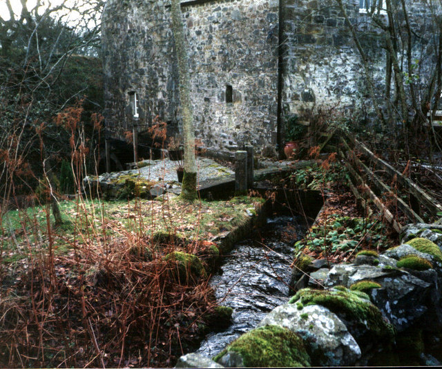
Ironmacannie Mill

Ironmacannie Mill is a historic watermill near Balmaclellan in Dumfries and Galloway, Scotland. Built in the 18th and 19th centuries, on the site of an...

Kenmure Castle

Kenmure Castle is a fortified house or castle in The Glenkens, 1 mile (1.6 km) south of the town of New Galloway in Kirkcudbrightshire, Galloway, south...

Water of Ken

The Water of Ken is a river in the historical county of Kirkcudbrightshire in Galloway, south-west Scotland. It rises on Blacklorg Hill, north-east of...

New Galloway

New Galloway (Scottish Gaelic: Gall-Ghàidhealaibh Nuadh) is a town in the historical county of Kirkcudbrightshire in Dumfries and Galloway. It lies on...

New Galloway Town Hall

The New Galloway Town Hall is a municipal building in Dumfries and Galloway, Scotland, situated on the town's high street. A tolbooth has existed on the...

Ken Bridge

The Ken Bridge is a road bridge about 0.8 kilometres (0.5 mi) north east of New Galloway in Dumfries and Galloway, Scotland, which carries the A712 road...

Kells, Dumfries and Galloway

Kells parish, in the Stewartry of Kirkcudbright in Scotland, is located 14 miles (NWbN) from Castle-Douglas, and 19 miles (NbW) from Kirkcudbright. It...

Nearby Amenities

Located within 500m of 55.049672,-4.1117961
Power: pole
Lat/Long: 55.0535122/-4.1093438
Power: pole
Lat/Long: 55.0528373/-4.1085796
Power: pole
Lat/Long: 55.052232/-4.1078879
Power: pole
Lat/Long: 55.0518542/-4.1074695
Power: pole
Lat/Long: 55.0511743/-4.1067075
Power: pole
Lat/Long: 55.0504797/-4.1059134
Power: pole
Lat/Long: 55.0497912/-4.1051513
Power: pole
Lat/Long: 55.049115/-4.1043935
Power: pole
Lat/Long: 55.0527179/-4.1070683
The data included in this document is from www.openstreetmap.org. The data is made available under ODbL.

Have you been to Broom Wood?

Leave your review of Broom Wood below (or comments, questions and feedback).