Carhampton

Settlement in Somerset Somerset West and Taunton

England

Carhampton

Farmland at Marshwood Almost level land forms a plateau around 10-20m above sea level, above the cliffs at Blue Anchor.
Farmland at Marshwood Credit: Stephen Craven

Carhampton is a small village located in the county of Somerset, in the southwestern part of England. Situated on the edge of Exmoor National Park, it lies approximately 5 miles west of Minehead and 20 miles northwest of Taunton. The village is nestled in a picturesque valley, surrounded by rolling hills and stunning countryside.

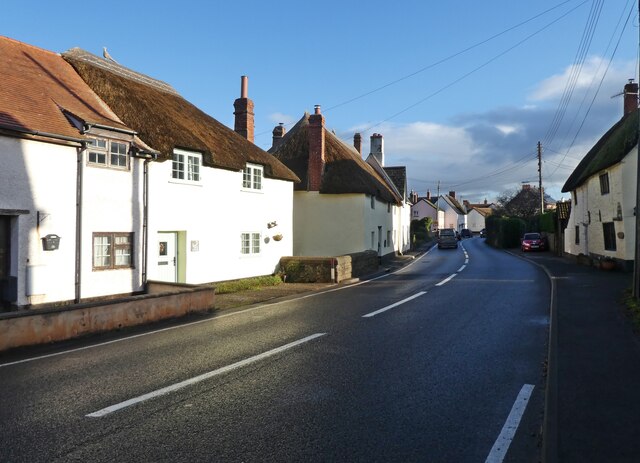
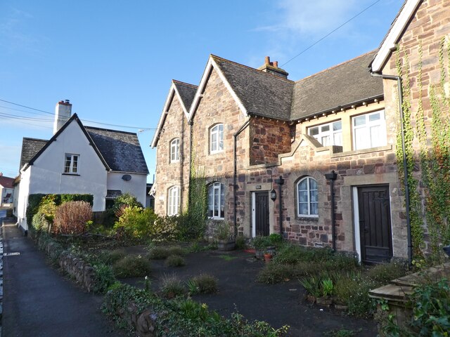
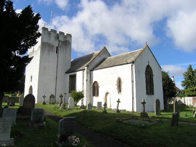
With a population of around 700 people, Carhampton has a tight-knit community. It is known for its historic charm and preserved architecture. The village features a mix of period buildings, including thatched cottages, traditional farmhouses, and a 13th-century church dedicated to St. John the Baptist. The church boasts beautiful stained glass windows and an imposing tower.

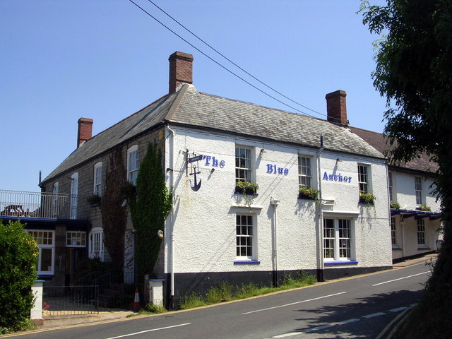
Carhampton is also home to a few amenities to serve its residents and visitors. These include a village shop, a post office, and a primary school. The village pub, The Carhampton Arms, is a popular gathering spot, offering a warm atmosphere and traditional British fare.

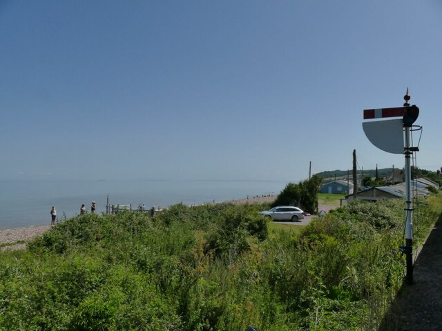
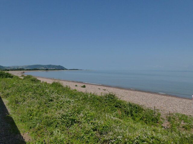
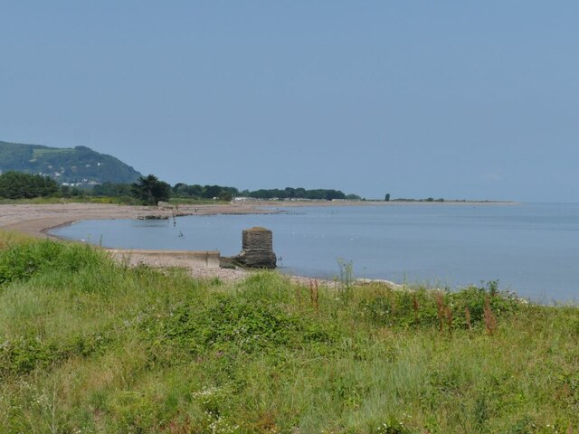
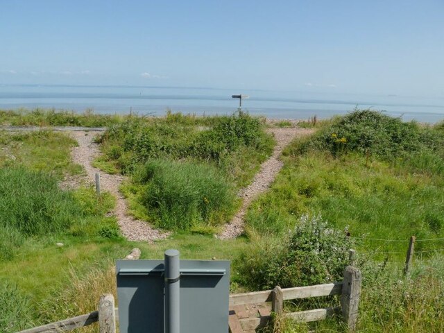
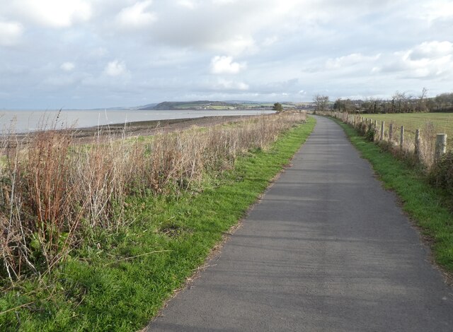
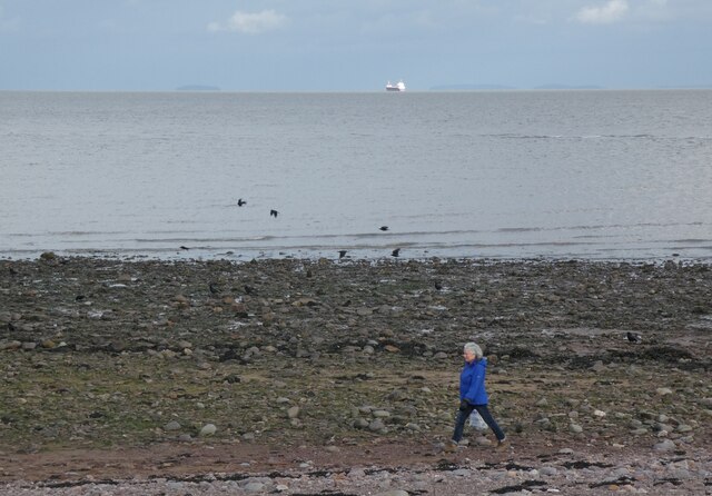
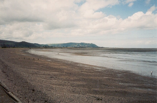
The surrounding area offers several attractions and activities for outdoor enthusiasts. The nearby Exmoor National Park is a haven for hikers, cyclists, and nature lovers, with its rugged landscapes, wooded valleys, and diverse wildlife. Carhampton's proximity to the coast also allows for easy access to the stunning beaches of the North Somerset coastline.

Overall, Carhampton is a charming village that offers a peaceful escape from the hustle and bustle of city life. Its idyllic location, historic buildings, and natural beauty make it an attractive destination for both residents and visitors alike.

If you have any feedback on the listing, please let us know in the comments section below.
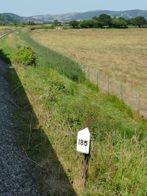
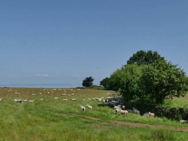
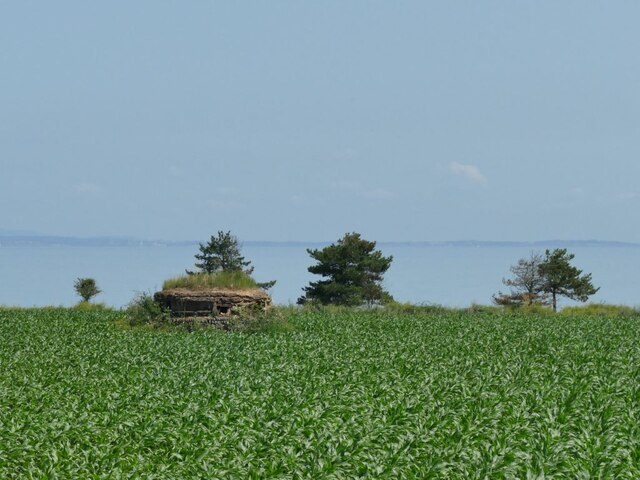
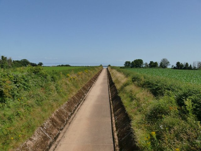
Carhampton Images

Images are sourced within 2km of 51.172961/-3.420503 or Grid Reference ST0042. Thanks to Geograph Open Source API. All images are credited.

Farmland at Marshwood Almost level land forms a plateau around 10-20m above sea level, above the cliffs at Blue Anchor.
Farmland at Marshwood
Almost level land forms a plateau around 10-20m above sea level, above the cliffs at Blue Anchor.
Cereal crop at Marshwood Farm Seen from a passing train.
Cereal crop at Marshwood Farm
Seen from a passing train.
Lower quadrant signal for Blue Anchor station This is the home signal which would be set to danger (horizontal) if there was a train already in the station.
Lower quadrant signal for Blue Anchor station
This is the home signal which would be set to danger (horizontal) if there was a train already in the station.
Blue Anchor station According to the railway's guide book, this halt was opened in 1904 as a speculative development preceding a new holiday resort, which never came fruition. It now acts as a passing loop on the West Somerset Railway.  Here, a westbound steam train encounters a diesel locomotive on the other track, which was attached to the rear to  be used for shunting movements at the temporary terminus at Dunster.
Blue Anchor station
According to the railway's guide book, this halt was opened in 1904 as a speculative development preceding a new holiday resort, which never came fruition. It now acts as a passing loop on the West Somerset Railway. Here, a westbound steam train encounters a diesel locomotive on the other track, which was attached to the rear to be used for shunting movements at the temporary terminus at Dunster.
Blue Anchor railway museum The museum occupies the building on the down (westbound) side of the station.
Blue Anchor railway museum
The museum occupies the building on the down (westbound) side of the station.
Up home signal for Blue Anchor station  The West Somerset Railway still uses these archaic lower-quadrant signals.
Up home signal for Blue Anchor station
The West Somerset Railway still uses these archaic lower-quadrant signals.
Blue Anchor Bay Seen from the West Somerset Railway which runs along the edge of the coast for a short distance.
Blue Anchor Bay
Seen from the West Somerset Railway which runs along the edge of the coast for a short distance.
Sewer outfalls into Blue Anchor Bay See <a href="https://www.geograph.org.uk/photo/1186598">ST0143 : Blue Anchor : Water Shoots out into the Sea</a> and <a href="https://www.geograph.org.uk/photo/5830818">ST0143 : Drainage outlets into the Bristol Channel</a> for close-ups, which show that they do sometimes get used.
Sewer outfalls into Blue Anchor Bay
See ST0143 : Blue Anchor : Water Shoots out into the Sea and ST0143 : Drainage outlets into the Bristol Channel for close-ups, which show that they do sometimes get used.
Footpath crossing to Blue Anchor Bay It gives access to the South-west Coast Path. See <a href="https://www.geograph.org.uk/photo/5830490">ST0143 : Path over the railway on Ker Moor</a> for the other side of the sign in the foreground.
Footpath crossing to Blue Anchor Bay
It gives access to the South-west Coast Path. See ST0143 : Path over the railway on Ker Moor for the other side of the sign in the foreground.
Milepost on Ker Moor It marks 185 miles from London Paddington via Taunton.
Milepost on Ker Moor
It marks 185 miles from London Paddington via Taunton.
Sheep on Ker Moor Seen from a passing train.
Sheep on Ker Moor
Seen from a passing train.
Old pillbox on Ker Moor One of many World War II defences along this coast, set in the middle of a crop field. See <a href="https://www.geograph.org.uk/photo/4868471">ST0044 : Old structure on Ker Moor</a> for the other side of it seen from the coastal path.
Old pillbox on Ker Moor
One of many World War II defences along this coast, set in the middle of a crop field. See ST0044 : Old structure on Ker Moor for the other side of it seen from the coastal path.
Flood channel of the river Avill I thought this was a road to the beach, but in fact it is a floodwater channel intended to prevent the village of Marsh Street from flooding. <a href="https://www.geograph.org.uk/photo/916957">ST0044 : Looking inland from bridge near Dunster Beach</a> shows it with some water in it, but it's obviously designed to take major storm flows, perhaps like the flash flood that overwhelmed Lynmouth in 1952 See <a href="https://www.geograph.org.uk/photo/1439074">SS9943 : View From Loxhole Bridge</a> for the weir at the head of the channel.
Flood channel of the river Avill
I thought this was a road to the beach, but in fact it is a floodwater channel intended to prevent the village of Marsh Street from flooding. ST0044 : Looking inland from bridge near Dunster Beach shows it with some water in it, but it's obviously designed to take major storm flows, perhaps like the flash flood that overwhelmed Lynmouth in 1952 See SS9943 : View From Loxhole Bridge for the weir at the head of the channel.
Blue Anchor Railway Station
Steam Coast Trail, Blue Anchor Bay
Woman and ship, Blue Anchor Bay
Station Road, Carhampton A rather optimistic road name. The nearest railway station is over a mile away in Blue Anchor.
Station Road, Carhampton
A rather optimistic road name. The nearest railway station is over a mile away in Blue Anchor.
The Old School house, Carhampton
Show me another place!

Carhampton is located at Grid Ref: ST0042 (Lat: 51.172961, Lng: -3.420503)

Administrative County: Somerset

District: Somerset West and Taunton

Police Authority: Avon and Somerset

What 3 Words

///stretch.generals.whisker. Near Minehead, Somerset

Nearby Locations

The Alders Carhampton

Related Wikis

Carhampton

Carhampton is a village and civil parish in Somerset, England, 4 miles (6.4 km) to the east of Minehead. Carhampton civil parish stretches from the Bristol...

Withycombe

Withycombe is a village, civil parish, and former manor 2.5 miles (4 km) south east of Dunster, and 5 miles (8 km) from Minehead within the Exmoor National...

Blue Anchor railway station

Blue Anchor railway station is situated in the seaside village of Blue Anchor, Somerset, England, close to the larger village of Carhampton. It is on the...

Blue Anchor

Blue Anchor is a seaside village, in the parish of Old Cleeve, close to Carhampton in the Somerset West and Taunton district of Somerset, England. The...

Blue Anchor to Lilstock Coast SSSI

Blue Anchor to Lilstock Coast SSSI (grid reference ST033435 to grid reference ST195462) is a 742.8 hectare geological Site of Special Scientific Interest...

River Avill

The River Avill is a small river on Exmoor in Somerset, England. It rises on the eastern slopes of Dunkery Beacon and flows north through Timberscombe...

Dunster Working Watermill

Dunster Working Watermill (also known as Castle Mill) is a restored 18th century watermill, situated on the River Avill, close to Gallox Bridge, in the...

Gallox Bridge, Dunster

The Gallox Bridge in Dunster, Somerset, England dates from the 15th century. It has been designated as a Grade I listed building and scheduled monument...

Nearby Amenities

Located within 500m of 51.172961,-3.420503
Carhampton
Is In: Somerset, England, UK
Place: village
Wikidata: Q2567667
Wikipedia: en:Carhampton
Lat/Long: 51.1731474/-3.4215339
Carhampton Cross
Junction: yes
Lat/Long: 51.1725715/-3.4167232
Post Box
Operator: Royal Mail
Operator Wikidata: Q638098
Post Box Type: lamp
Royal Cypher: EIIR
Royal Cypher Wikidata: Q33102113
Lat/Long: 51.1728934/-3.4179075
Power: pole
Lat/Long: 51.1729577/-3.4265684
Power: pole
Lat/Long: 51.1721369/-3.425891
Power: pole
Lat/Long: 51.1713375/-3.4252527
Power: pole
Lat/Long: 51.1705554/-3.4246014
Power: pole
Lat/Long: 51.1694864/-3.423639
Power: pole
Lat/Long: 51.1688579/-3.4231296
Barrier: kissing_gate
Foot: yes
Lat/Long: 51.1765803/-3.4194799
Power: pole
Lat/Long: 51.1739123/-3.4273188
Community Centre
Carhampton Recreation Hall
Addr City: Minehead
Addr Country: GB
Addr County: Somerset
Addr Postcode: TA24 6LX
Addr Street: Main Road
Addr Village: Carhampton
Fhrs Authority: West Somerset
Fhrs Id: 161889
Fhrs Local Authority Id: PI/000001981
Lat/Long: 51.1747575/-3.4207043
Chris's Crackers Junk Shop
Addr City: Minehead
Addr Country: GB
Addr County: Somerset
Addr Housenumber: Townsend Garage
Addr Postcode: TA24 6NH
Addr Village: Carhampton
Shop: antiques
Lat/Long: 51.1759287/-3.4241653
Crossing
Crossing: traffic_signals
Crossing Ref: pelican
Lat/Long: 51.1743462/-3.4209995
Bus Stop
Carhampton (op Post Office)
Bench: yes
Bus: yes
Lit: yes
Naptan AtcoCode: 3600SOA10182
Naptan Bearing: NW
Naptan CommonName: Post Office
Naptan Indicator: opp
Naptan NaptanCode: sotadmdw
Naptan Street: Station Road
Naptan Verified: no
Network: The Buses of Somerset
Network Wikidata: Q17018973
Operator: First South West
Operator Wikidata: Q5454172
Passenger Information Display: no
Public Transport: platform
Ref: 15
Shelter: yes
Lat/Long: 51.1743094/-3.421333
Bus Stop
Carhampton (adj Post Office)
Bench: no
Bus: yes
Lit: no
Naptan AtcoCode: 3600SOA10183
Naptan Bearing: E
Naptan CommonName: Post Office
Naptan Indicator: adj
Naptan NaptanCode: sotadmgd
Naptan Street: Station Road
Naptan Verified: no
Network: The Buses of Somerset
Network Wikidata: Q17018973
Operator: First South West
Operator Wikidata: Q5454172
Passenger Information Display: no
Public Transport: platform
Ref: 15
Shelter: yes
Lat/Long: 51.1743898/-3.4206171
Waste Basket
Lat/Long: 51.1743112/-3.4213104
Bench
Lat/Long: 51.1743109/-3.4212881
Bench
Lat/Long: 51.1743115/-3.4212302
Post Office
Carhampton Post Office
Addr City: Minehead
Addr Country: GB
Addr County: Somerset
Addr Postcode: TA24 6NQ
Addr Street: Main Road
Addr Village: Carhampton
Brand: Post Office
Brand Wikidata: Q1783168
Brand Wikipedia: en:Post Office Ltd
Is In: Convenience Store
Opening Hours: Mo-Fr 07:00-19:00; Sa 07:00-13:00; Su 08:00-12:00
Operator: Post Office Ltd
Ref Pol Id: 113662
Lat/Long: 51.1744789/-3.4212225
Booth: K6
Covered: booth
Disused Amenity: telephone
Listed Status: Grade II
Man Made: telephone_box
Tourism: information
Lat/Long: 51.1741869/-3.4194649
Bench
Lat/Long: 51.1742357/-3.4194596
Defibrillator
Defibrillator Location: outside Carhampton Recreation Hall
Emergency: defibrillator
Indoor: no
Lat/Long: 51.1744523/-3.4207885
The data included in this document is from www.openstreetmap.org. The data is made available under ODbL.

Have you been to Carhampton?

Leave your review of Carhampton below (or comments, questions and feedback).