High Wood

Wood, Forest in Kirkcudbrightshire

Scotland

High Wood

Fire Station, New Galloway The fire station on the south side of the A712 seen across a lawned area.
Fire Station, New Galloway Credit: Trevor Littlewood

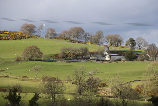
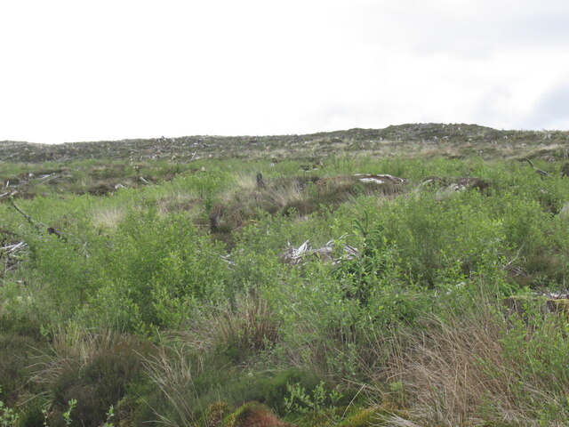
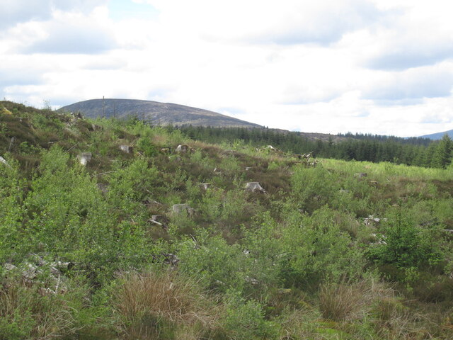
High Wood is a picturesque forest located in the historic county of Kirkcudbrightshire, Scotland. Situated in the southwest of the country, it covers an area of approximately 200 acres. The wood is known for its rich natural beauty and diverse flora and fauna.

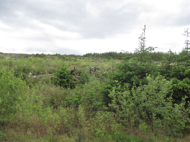
High Wood is predominantly composed of broadleaf trees, including oak, beech, and birch, which create a dense canopy, providing shade and shelter to the forest floor. The woodland is also home to a variety of wildlife, including red squirrels, badgers, and numerous bird species, making it a haven for nature enthusiasts and birdwatchers.

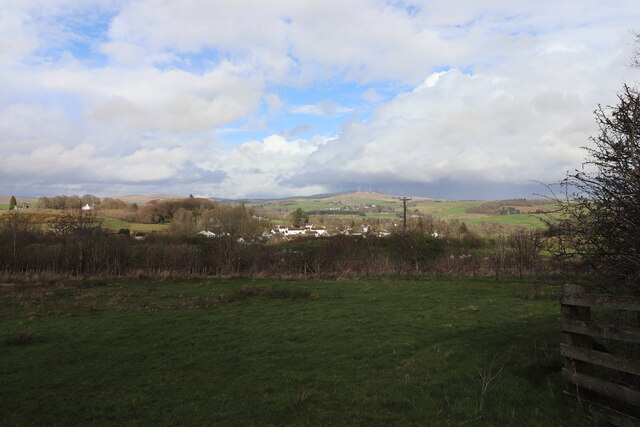
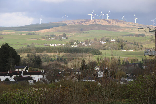
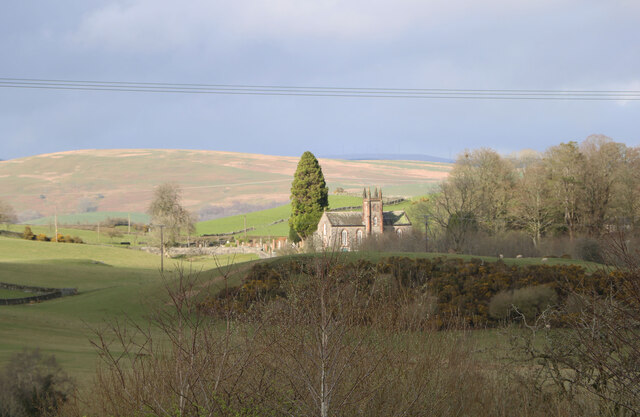
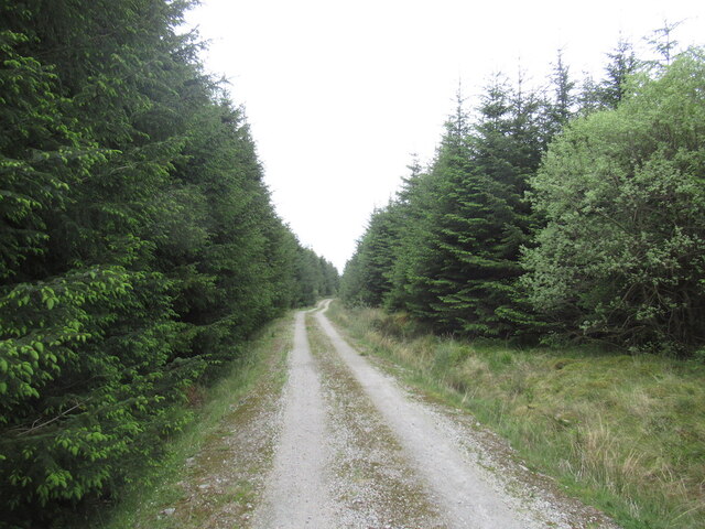
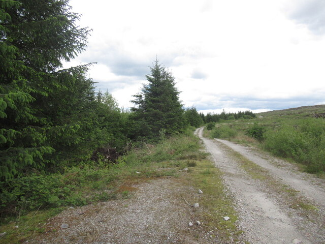
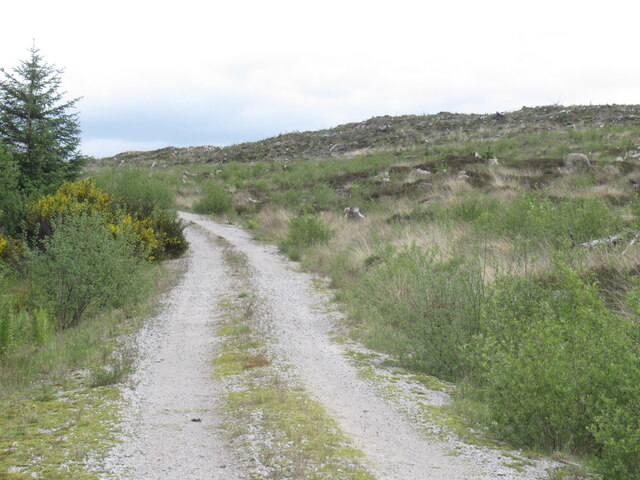
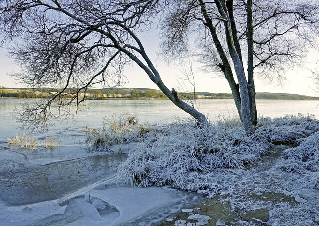
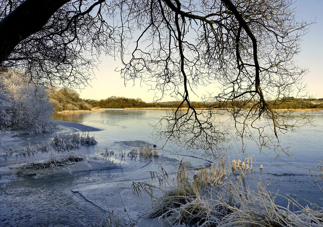
The forest is crisscrossed by a network of walking trails, allowing visitors to explore its enchanting surroundings. These trails range in difficulty, catering to all levels of hikers and walkers. The paths wind through the woods, offering glimpses of small streams, tranquil ponds, and scenic viewpoints overlooking the surrounding countryside.

High Wood has a rich history, with evidence of human activity dating back thousands of years. The wood was once used for timber production, and remnants of old sawmills can still be found within its boundaries. Today, the forest is managed by a local conservation organization, ensuring its preservation for future generations.

High Wood is a popular destination for outdoor activities, such as picnicking, photography, and nature walks. Its peaceful ambiance and natural beauty make it an ideal place for relaxation and reconnecting with nature.

If you have any feedback on the listing, please let us know in the comments section below.
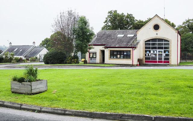
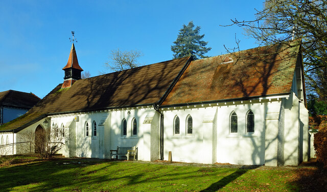
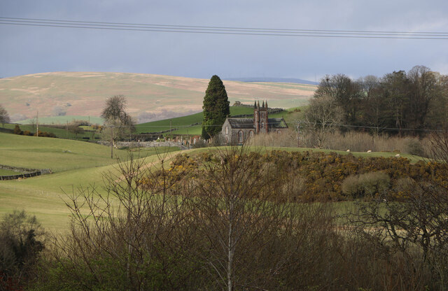
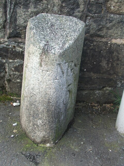
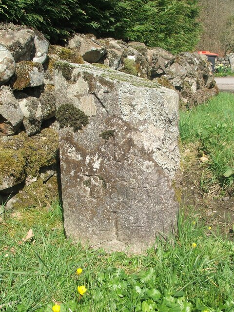
High Wood Images

Images are sourced within 2km of 55.065403/-4.148693 or Grid Reference NX6276. Thanks to Geograph Open Source API. All images are credited.

Fire Station, New Galloway The fire station on the south side of the A712 seen across a lawned area.
Fire Station, New Galloway
The fire station on the south side of the A712 seen across a lawned area.
New Galloway Episcopalian Church Located on the main route into the village from Ken Bridge.
New Galloway Episcopalian Church
Located on the main route into the village from Ken Bridge.
Farmland at New Galloway Viewed from the Old Edinburgh Road.
Farmland at New Galloway
Viewed from the Old Edinburgh Road.
Kells Parish Church, New Galloway Viewed from the Old Edinburgh Road.
Kells Parish Church, New Galloway
Viewed from the Old Edinburgh Road.
Viewfield Farm, New Galloway Viewed from the Old Edinburgh Road.
Viewfield Farm, New Galloway
Viewed from the Old Edinburgh Road.
New Galloway Viewed from the Old Edinburgh Road. With a view to a Windfarm.
New Galloway
Viewed from the Old Edinburgh Road. With a view to a Windfarm.
Kells Parish Church in Sunlight Viewed from the Old Edinburgh Road.
Kells Parish Church in Sunlight
Viewed from the Old Edinburgh Road.
Farmer and Sheepdogs, New Galloway On the Old Edinburgh Road.
Farmer and Sheepdogs, New Galloway
On the Old Edinburgh Road.
Logging road, northwest of Cairn Edward Hill
Replanted coupe, near Cairn Edward Hill Probably a third generation here - Cairn Edward was one of the earliest plantations by the Forestry Commission.
Replanted coupe, near Cairn Edward Hill
Probably a third generation here - Cairn Edward was one of the earliest plantations by the Forestry Commission.
Logging road near Cairn Edward Hill
Logging road, Cairn Edward Granite gravel surface.
Logging road, Cairn Edward
Granite gravel surface.
Cairnraws Former moorland and one of the first Forestry Commission plantations in the Galloway Hills.
Cairnraws
Former moorland and one of the first Forestry Commission plantations in the Galloway Hills.
View towards Cairnsmore of Dee Cairn Edward Forest was one of the earliest Forestry Commission plantations and the young trees here would be at least the third generation.
View towards Cairnsmore of Dee
Cairn Edward Forest was one of the earliest Forestry Commission plantations and the young trees here would be at least the third generation.
A frosty morning on Loch Ken An early morning shot of the shady side of Loch Ken, viewed in very cold December weather.
A frosty morning on Loch Ken
An early morning shot of the shady side of Loch Ken, viewed in very cold December weather.
Little Kenmure Loch The northern end of Loch Ken viewed on a chilly December morning.
Little Kenmure Loch
The northern end of Loch Ken viewed on a chilly December morning.
Old milestone When railways were constructed across the hills of Kirkcudbright and Wigtonshire the stations were often several miles from the nearest large settlement.   The station for New Galloway was 5 miles to the south along the west bank of Loch Ken and on to Mossdale.    Milestones of this shape are found on several of the roads leading to stations.  From New Galloway it is 5 miles to the station.   This stone is in the village centre near The Smithy Tea Room.
Old milestone
When railways were constructed across the hills of Kirkcudbright and Wigtonshire the stations were often several miles from the nearest large settlement. The station for New Galloway was 5 miles to the south along the west bank of Loch Ken and on to Mossdale. Milestones of this shape are found on several of the roads leading to stations. From New Galloway it is 5 miles to the station. This stone is in the village centre near The Smithy Tea Room.
Old milestone The next 'railway' milestone south of New Galloway is at the entrance to Todstone Cottage.  N G/ 1/ Dalry/4¼ on the left face.
Old milestone
The next 'railway' milestone south of New Galloway is at the entrance to Todstone Cottage. N G/ 1/ Dalry/4¼ on the left face.
Show me another place!

High Wood is located at Grid Ref: NX6276 (Lat: 55.065403, Lng: -4.148693)

Unitary Authority: Dumfries and Galloway

Police Authority: Dumfries and Galloway

What 3 Words

///froze.interval.baseballs. Near Castle Douglas, Dumfries & Galloway

Related Wikis

Water of Ken

The Water of Ken is a river in the historical county of Kirkcudbrightshire in Galloway, south-west Scotland. It rises on Blacklorg Hill, north-east of...

Kenmure Castle

Kenmure Castle is a fortified house or castle in The Glenkens, 1 mile (1.6 km) south of the town of New Galloway in Kirkcudbrightshire, Galloway, south...

New Galloway Town Hall

The New Galloway Town Hall is a municipal building in Dumfries and Galloway, Scotland, situated on the town's high street. A tolbooth has existed on the...

New Galloway

New Galloway (Scottish Gaelic: Gall-Ghàidhealaibh Nuadh) is a town in the historical county of Kirkcudbrightshire in Dumfries and Galloway. It lies on...

Kells, Dumfries and Galloway

Kells parish, in the Stewartry of Kirkcudbright in Scotland, is located 14 miles (NWbN) from Castle-Douglas, and 19 miles (NbW) from Kirkcudbright. It...

Galloway

Galloway (Scottish Gaelic: Gall-Ghàidhealaibh [ˈkal̪ˠaɣəl̪ˠu]; Scots: Gallowa; Latin: Gallovidia) is a region in southwestern Scotland comprising the historic...

Ken Bridge

The Ken Bridge is a road bridge about 0.8 kilometres (0.5 mi) north east of New Galloway in Dumfries and Galloway, Scotland, which carries the A712 road...

Balmaclellan

Balmaclellan (Scottish Gaelic: Baile Mac-a-ghille-dhiolan, meaning town of the MacLellans) is a small hillside village of stone houses with slate roofs...

Nearby Amenities

Located within 500m of 55.065403,-4.148693
Kenmure
Naptan AtcoCode: 680001036111
Naptan Bearing: N
Naptan BusStopType: CUS
Naptan CommonName: Kenmure
Naptan Indicator: opp Road End
Naptan Landmark: Kenmure
Naptan NaptanCode: 34235792
Naptan Notes: none
Naptan Street: A762
Naptan Verified: no
Source: naptan_import
Lat/Long: 55.0640769/-4.1412738
Power: pole
Lat/Long: 55.0689559/-4.1532285
Power: pole
Lat/Long: 55.0683342/-4.1531181
Power: pole
Lat/Long: 55.0677722/-4.1532859
Power: pole
Lat/Long: 55.0672212/-4.1534495
Power: pole
Lat/Long: 55.0663769/-4.1536853
Power: pole
Lat/Long: 55.0658927/-4.1538553
Power: pole
Lat/Long: 55.0653477/-4.1545712
Power: pole
Lat/Long: 55.0647711/-4.1553105
Power: pole
Lat/Long: 55.0642175/-4.1560392
Power: pole
Lat/Long: 55.063827/-4.1552701
Power: pole
Lat/Long: 55.0634279/-4.154499
Power: pole
Lat/Long: 55.0630289/-4.1537108
Power: pole
Lat/Long: 55.0626444/-4.1529757
Power: pole
Lat/Long: 55.0622077/-4.1521472
Power: pole
Lat/Long: 55.0618135/-4.1513548
Power: pole
Lat/Long: 55.061412/-4.1505708
Power: pole
Lat/Long: 55.0611905/-4.1494852
Power: pole
Lat/Long: 55.0609667/-4.1483954
Power: pole
Lat/Long: 55.0683525/-4.153868
Power: pole
Lat/Long: 55.0636713/-4.1416991
Power: pole
Lat/Long: 55.0633124/-4.1428506
Power: pole
Lat/Long: 55.0628647/-4.1429971
The data included in this document is from www.openstreetmap.org. The data is made available under ODbL.

Have you been to High Wood?

Leave your review of High Wood below (or comments, questions and feedback).