Glazert Wood

Wood, Forest in Stirlingshire

Scotland

Glazert Wood

Jamie Wright's Well,  B822 Lennoxtown - Fintry Road Jamie Wright's Well beside the Crow Road has existed since time immemorial but was converted into the Slimmon Memorial to commemorate the local poet James Slimmon, who died in 1898.
Jamie Wright's Well, B822 Lennoxtown - Fintry Road Credit: Brian D Osborne

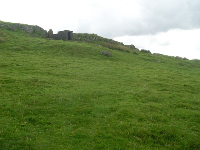
Glazert Wood is a picturesque woodland located in Stirlingshire, Scotland. Spanning over a vast area, this enchanting forest offers visitors a tranquil escape from the hustle and bustle of everyday life. Nestled within the Glazert Water valley, the wood is surrounded by stunning natural beauty and wildlife.

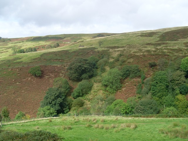
The wood is predominantly composed of native deciduous trees, such as oak, birch, and beech, which create a dense canopy overhead. This lush vegetation provides a haven for a wide variety of flora and fauna, including rare and protected species. The forest floor is adorned with a carpet of vibrant wildflowers, making it a delightful sight during the spring and summer months.

Glazert Wood is a popular destination for nature enthusiasts and outdoor lovers alike. The forest boasts a network of well-maintained trails, which offer both leisurely strolls and more challenging hikes. As visitors traverse through the wood, they can admire the towering trees, listen to the soothing sounds of birdsong, and catch glimpses of wildlife, such as red squirrels and roe deer.

In addition to its natural beauty, Glazert Wood also holds historical significance. The wood was once part of the larger Craigmaddie estate, which dates back centuries. Remnants of the estate, including the ruins of Craigmaddie House, can still be found within the woodland, providing a glimpse into its past.

Overall, Glazert Wood is a captivating destination for those seeking tranquility, natural beauty, and a touch of history. Whether for a leisurely stroll or a deeper exploration of its wonders, this forest offers an unforgettable experience for visitors of all ages.

If you have any feedback on the listing, please let us know in the comments section below.
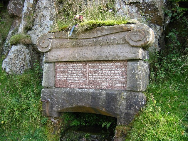
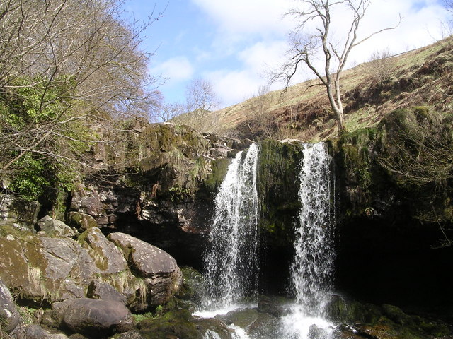
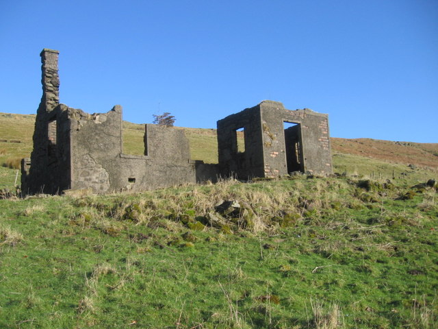
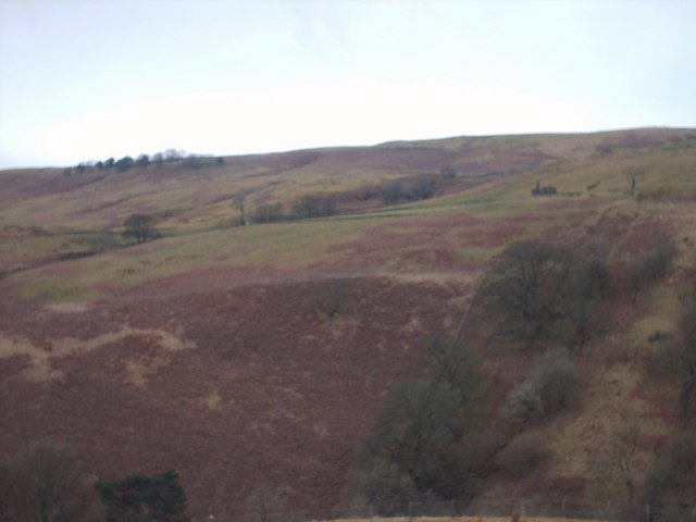
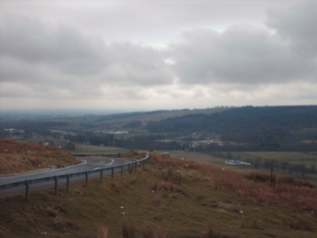
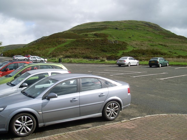
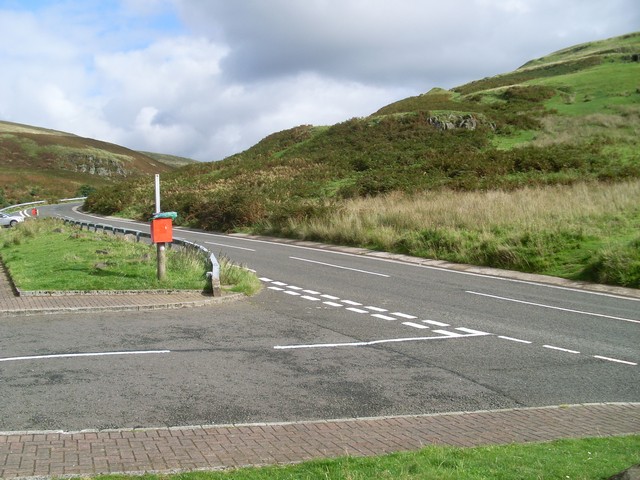
Glazert Wood Images

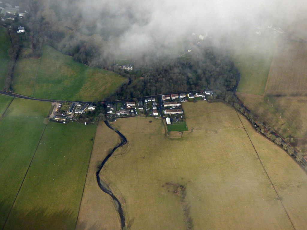
Images are sourced within 2km of 55.979659/-4.2173558 or Grid Reference NS6178. Thanks to Geograph Open Source API. All images are credited.

Jamie Wright's Well,  B822 Lennoxtown - Fintry Road Jamie Wright's Well beside the Crow Road has existed since time immemorial but was converted into the Slimmon Memorial to commemorate the local poet James Slimmon, who died in 1898.
Jamie Wright's Well, B822 Lennoxtown - Fintry Road
Jamie Wright's Well beside the Crow Road has existed since time immemorial but was converted into the Slimmon Memorial to commemorate the local poet James Slimmon, who died in 1898.
Waterfalls on Kirk Burn above Campsie Glen Campsie Glen is a stunning, secluded beauty spot within easy reach of Glasgow
Waterfalls on Kirk Burn above Campsie Glen
Campsie Glen is a stunning, secluded beauty spot within easy reach of Glasgow
Allanhead ruin
Allanhead ruin
View Towards Allanhead Ruin
The Crow Road Looking towards The Clachan of Campsie.
The Crow Road
Looking towards The Clachan of Campsie.
Car parking in Campsie Glen By the Crow Road. The path behind the Black Craig in the background leads to the summit of Cort-ma-Law.
Car parking in Campsie Glen
By the Crow Road. The path behind the Black Craig in the background leads to the summit of Cort-ma-Law.
View across Campsie Glen to Allanhead From the car park by the Crow Road.
View across Campsie Glen to Allanhead
From the car park by the Crow Road.
The Crow Road The only main road through the Campsie Fells.
The Crow Road
The only main road through the Campsie Fells.
Small hut on the Campsie Fells Probably a WWII watch post.
Small hut on the Campsie Fells
Probably a WWII watch post.
The car park in the Campsie Fells The opposite view to <a href="https://www.geograph.org.uk/photo/1497760">NS6180 : Car parking in Campsie Glen</a>.
The car park in the Campsie Fells
The opposite view to NS6180 : Car parking in Campsie Glen.
Campsie Fells & Crow Road A view taken from above Knowhead Road looking east towards the Campsie Fells and the Crow Road car park.
Campsie Fells & Crow Road
A view taken from above Knowhead Road looking east towards the Campsie Fells and the Crow Road car park.
Snow-covered car park, Campsie Glen Overlooking Clachan of Campsie.
Snow-covered car park, Campsie Glen
Overlooking Clachan of Campsie.
Across Campsie Glen from the car park Looking to the ruin of Allenhead.
Across Campsie Glen from the car park
Looking to the ruin of Allenhead.
View into Blane Valley From the Campsie Fells.
View into Blane Valley
From the Campsie Fells.
Climbing a frozen path in the Campsie Fells The snow was over a foot deep in places.
Climbing a frozen path in the Campsie Fells
The snow was over a foot deep in places.
Campsie Fells The hillside looking towards the Black Craig.
Campsie Fells
The hillside looking towards the Black Craig.
Campsie Fells, Crow Road View up the paths to the plateau from the car park.
Campsie Fells, Crow Road
View up the paths to the plateau from the car park.
Campsie Fells, waterfall on Kirk Burn This waterfall is called 'Wee Alicompen', part of its big sister, 'Muckle Alicompen' can be glimpsed to the bottom left in photo. 

This is a delightful place for a picnic.
Campsie Fells, waterfall on Kirk Burn
This waterfall is called 'Wee Alicompen', part of its big sister, 'Muckle Alicompen' can be glimpsed to the bottom left in photo. This is a delightful place for a picnic.
Show me another place!

Glazert Wood is located at Grid Ref: NS6178 (Lat: 55.979659, Lng: -4.2173558)

Unitary Authority: East Dunbartonshire

Police Authority: Greater Glasgow

What 3 Words

///stunts.firming.stockpile. Near Lennoxtown, East Dunbartonshire

Nearby Locations

Glazert Wood

Related Wikis

Campsie Glen railway station

Campsie Glen railway station served the village of Clachan of Campsie, East Dunbartonshire, Scotland from 1867 to 1951 on the Blane Valley Railway; the...

East Dunbartonshire (UK Parliament constituency)

East Dunbartonshire is a county constituency of the House of Commons of the Parliament of the United Kingdom (Westminster). It elects one Member of Parliament...

Finglen Burn

The Finglen Burn is a burn in Scotland that runs from north east of the Earl's Seat (the highest point on the Campsie Fells) to just north of Campsie Village...

Lennoxtown training centre

Lennoxtown Training Centre is Celtic F.C.'s training centre, located at Lennoxtown, East Dunbartonshire in Scotland. The complex houses the club's training...

Lennoxtown

Lennoxtown (Scottish Gaelic: Baile na Leamhnachd, pronounced [ˈpalə nə ˈʎãũnəxk]) is a town in the East Dunbartonshire council area and the historic county...

The Lennox

The Lennox (Scottish Gaelic: Leamhnachd, pronounced [ˈʎãũnəxk]) is a region of Scotland centred on The Vale of Leven, including its great loch: Loch Lomond...

Haughhead

Haughhead is a hamlet two miles from Lennoxtown in East Dunbartonshire, Scotland. It was historically part of Stirlingshire until 1975, when it became...

Lennox Castle

Lennox Castle is an abdandoned castle in Lennoxtown, East Dunbartonshire, Scotland, approximately 12 miles (19 kilometres) north of Glasgow. It is infamous...

Nearby Amenities

Located within 500m of 55.979659,-4.2173558
Crossing
Bicycle: yes
Button Operated: yes
Crossing: traffic_signals
Crossing Island: no
Crossing Ref: toucan
Tactile Paving: yes
Traffic Signals Sound: yes
Traffic Signals Vibration: yes
Lat/Long: 55.9786771/-4.2121915
Check Date: 2021-08-21
Traffic Calming: table
Lat/Long: 55.9804585/-4.2208806
Traffic Calming: bump
Lat/Long: 55.9799562/-4.2214354
Traffic Calming: bump
Lat/Long: 55.9779684/-4.2202546
Crossing
Crossing: unmarked
Crossing Island: no
Crossing Markings: no
Tactile Paving: no
Lat/Long: 55.9800384/-4.2213495
Barrier: block
Bicycle: yes
Foot: yes
Lat/Long: 55.9800971/-4.2215425
Traffic Calming: bump
Lat/Long: 55.9775491/-4.2209145
Traffic Calming: bump
Lat/Long: 55.9778994/-4.2223785
Traffic Calming: bump
Lat/Long: 55.9784514/-4.2226666
Barrier: bollard
Bicycle: yes
Bollard: removable
Foot: yes
Lat/Long: 55.9788391/-4.2129456
Barrier: block
Bicycle: yes
Foot: yes
Horse: yes
Source: survey
Lat/Long: 55.980037/-4.2239
Post Box
Collection Times: Mo-Fr 16:00, Sa 09:00
Ref: G66 198
Royal Cypher: scottish_crown
Lat/Long: 55.980079/-4.2211622
Bus Stop
Bus: yes
Passenger Information Display: no
Public Transport: platform
Shelter: no
Lat/Long: 55.9810614/-4.2214521
Bus Stop
Passenger Information Display: no
Shelter: yes
Lat/Long: 55.9809238/-4.2198658
Bus Stop
Passenger Information Display: no
Shelter: no
Lat/Long: 55.9799229/-4.2144531
Bus Stop
Glen Road East
Bench: no
Bin: no
Lit: yes
Passenger Information Display: no
Shelter: no
Tactile Paving: no
Lat/Long: 55.9781881/-4.2115778
Bus Stop
Glen Road opp no 22
Bench: no
Bin: no
Lit: yes
Passenger Information Display: no
Shelter: no
Tactile Paving: no
Lat/Long: 55.9785257/-4.2120123
Jessie
Artist Name: Jaqueline Donachie
Artwork Type: sculpture
Tourism: artwork
Lat/Long: 55.978742/-4.213811
The Oval
Place: locality
Lat/Long: 55.9758559/-4.2194255
Traffic Signals
Traffic Signals: pedestrian_crossing
Traffic Signals Direction: both
Lat/Long: 55.9786456/-4.2120864
Traffic Calming: bump
Lat/Long: 55.9790388/-4.2201901
Traffic Calming: bump
Lat/Long: 55.978531/-4.2200954
Traffic Calming: bump
Lat/Long: 55.9775724/-4.2218665
Ford: yes
Lat/Long: 55.9808509/-4.2179735
Power: pole
Lat/Long: 55.9763356/-4.2170049
Power: pole
Lat/Long: 55.9755957/-4.2163511
Power: pole
Lat/Long: 55.9799477/-4.214856
Power: pole
Lat/Long: 55.9800521/-4.2147575
Power: pole
Lat/Long: 55.980616/-4.2143091
Power: pole
Lat/Long: 55.9811529/-4.2138712
Power: pole
Lat/Long: 55.9815925/-4.2142923
Power: pole
Lat/Long: 55.9819793/-4.2146297
Power: pole
Lat/Long: 55.9798164/-4.2141457
Power: pole
Lat/Long: 55.9795573/-4.2135233
Give Way
Direction: forward
Lat/Long: 55.9809046/-4.2206211
Give Way
Direction: forward
Lat/Long: 55.9809693/-4.2203448
Give Way
Direction: forward
Lat/Long: 55.9810566/-4.2207617
The data included in this document is from www.openstreetmap.org. The data is made available under ODbL.

Have you been to Glazert Wood?

Leave your review of Glazert Wood below (or comments, questions and feedback).