Schwappach Belt

Wood, Forest in Ross-shire

Scotland

Schwappach Belt

Black Rock hydro powerhouse This is the powerhouse for the Black Rock hydroelectric scheme. This run of the river scheme is being developed by RWE npower renewables, on part of the Allt Graad (River Glass) near Black Rock Gorge.

This powerhouse is an interesting design of wooden building. It is pretty well hidden from most directions, by the slopes of the gorge and surrounding trees. The outfall is on the right of the photo. There was a few men and diggers working here today. I'm not sure when it will be complete - their website says "project complete and generating" by June 2012: <span class="nowrap"><a title="http://www.rwe.com/web/cms/en/391034/rwe-innogy/sites/hydroelectric-power-station/united-kingdom/sites-under-construction/" rel="nofollow ugc noopener" href="http://www.rwe.com/web/cms/en/391034/rwe-innogy/sites/hydroelectric-power-station/united-kingdom/sites-under-construction/">Link</a><img style="margin-left:2px;" alt="External link" title="External link - shift click to open in new window" src="https://s1.geograph.org.uk/img/external.png" width="10" height="10"/></span>

This is the view from the south, looking across the river.
Black Rock hydro powerhouse Credit: Craig Wallace

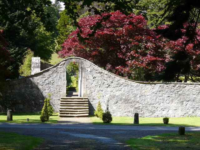
Schwappach Belt, located in Ross-shire, Scotland, is a picturesque wood and forest area that offers a serene and captivating natural environment. Spanning over a vast expanse of land, it is a haven for nature enthusiasts and adventurers alike.

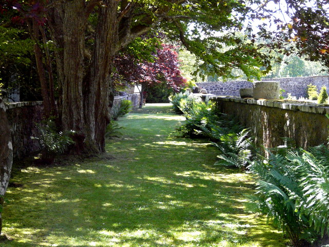
The woodland of Schwappach Belt is characterized by a diverse range of tree species, including towering Scots pines, majestic oak trees, and vibrant birch trees, among others. These trees provide a dense canopy that filters sunlight, creating a cool and peaceful atmosphere beneath. The forest floor is adorned with a rich carpet of mosses, ferns, and wildflowers, fostering a vibrant ecosystem that supports a variety of wildlife.

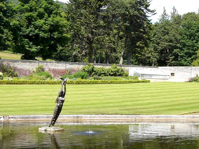
The forest is home to an array of wildlife, including red squirrels, roe deer, and an abundance of bird species, making it a popular destination for birdwatchers. The tranquil setting of Schwappach Belt provides the perfect opportunity for visitors to immerse themselves in nature, offering a chance to spot elusive creatures and enjoy the soothing sounds of birdsong.

The wood is intersected by several well-maintained trails, allowing visitors to explore its beauty on foot. These trails offer breathtaking vistas, from sun-dappled glades to meandering streams that add to the enchanting ambiance of the area. Additionally, Schwappach Belt is located in close proximity to other natural attractions, such as Loch Achilty, providing visitors with further opportunities to explore the surrounding natural wonders.

Whether seeking a peaceful retreat or an adventure-filled hike, Schwappach Belt is a must-visit destination for those craving a connection with nature. With its stunning woodland scenery, diverse wildlife, and well-marked trails, it promises an unforgettable experience for all who venture into its embrace.

If you have any feedback on the listing, please let us know in the comments section below.

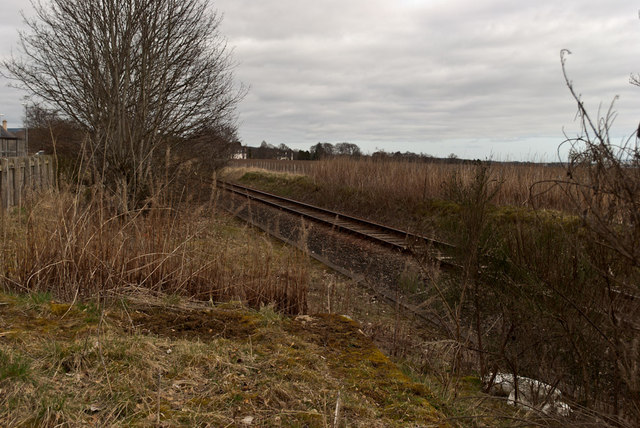
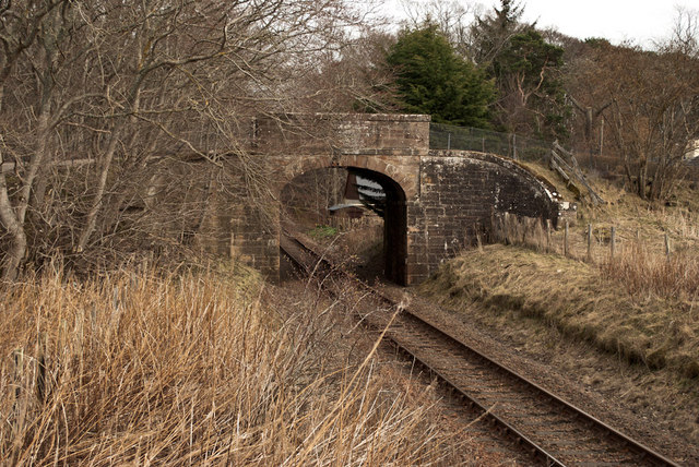
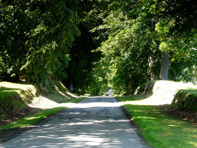
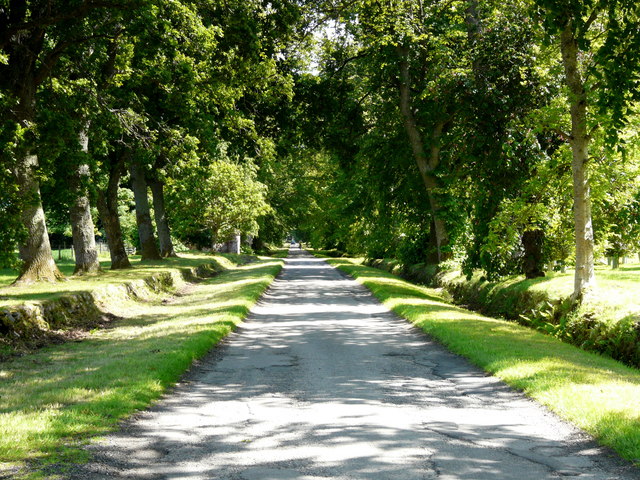
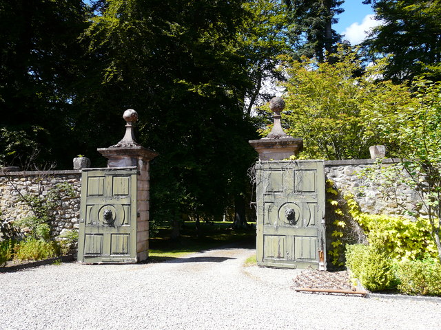
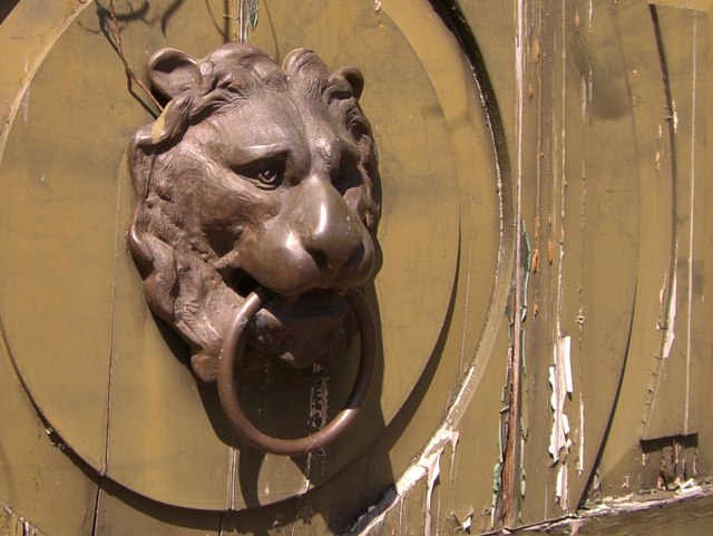
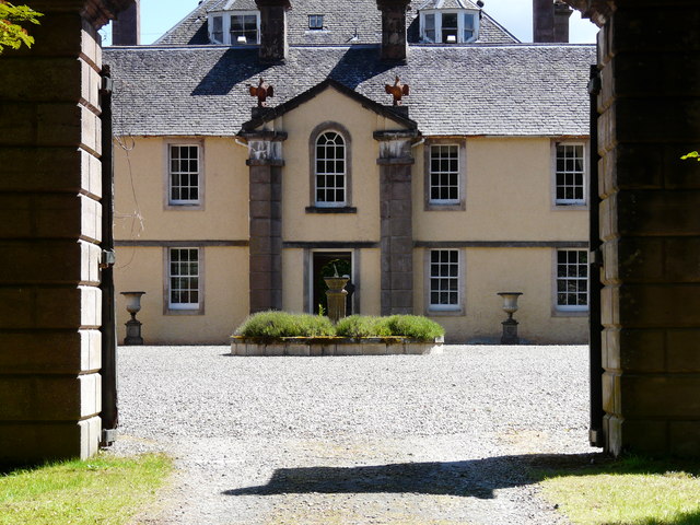
Schwappach Belt Images

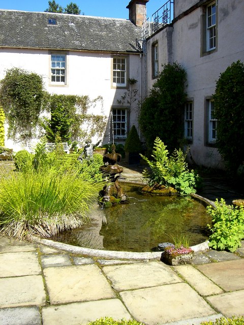
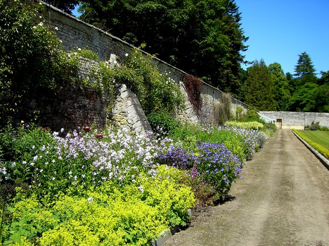
Images are sourced within 2km of 57.673876/-4.3200229 or Grid Reference NH6167. Thanks to Geograph Open Source API. All images are credited.

Black Rock hydro powerhouse This is the powerhouse for the Black Rock hydroelectric scheme. This run of the river scheme is being developed by RWE npower renewables, on part of the Allt Graad (River Glass) near Black Rock Gorge.

This powerhouse is an interesting design of wooden building. It is pretty well hidden from most directions, by the slopes of the gorge and surrounding trees. The outfall is on the right of the photo. There was a few men and diggers working here today. I'm not sure when it will be complete - their website says "project complete and generating" by June 2012: <span class="nowrap"><a title="http://www.rwe.com/web/cms/en/391034/rwe-innogy/sites/hydroelectric-power-station/united-kingdom/sites-under-construction/" rel="nofollow ugc noopener" href="http://www.rwe.com/web/cms/en/391034/rwe-innogy/sites/hydroelectric-power-station/united-kingdom/sites-under-construction/">Link</a><img style="margin-left:2px;" alt="External link" title="External link - shift click to open in new window" src="https://s1.geograph.org.uk/img/external.png" width="10" height="10"/></span>

This is the view from the south, looking across the river.
Black Rock hydro powerhouse
This is the powerhouse for the Black Rock hydroelectric scheme. This run of the river scheme is being developed by RWE npower renewables, on part of the Allt Graad (River Glass) near Black Rock Gorge. This powerhouse is an interesting design of wooden building. It is pretty well hidden from most directions, by the slopes of the gorge and surrounding trees. The outfall is on the right of the photo. There was a few men and diggers working here today. I'm not sure when it will be complete - their website says "project complete and generating" by June 2012: LinkExternal link This is the view from the south, looking across the river.
Evanton Community Woodland
Path in Evanton Wood
Remains of Evanton Railway Station Closed June 1960
Remains of Evanton Railway Station
Closed June 1960
Bridge over the Far North Line
Driveway to Novar House
Driveway at Novar House A lovely avenue of mature trees.
Driveway at Novar House
A lovely avenue of mature trees.
Garden gates at Novar House
Garden gate at Novar House (detail)
Courtyard at Novar House
Door to the walled garden at Novar House
Garden walkway at Novar House
Pond and fountain at Novar House
Door in the walled garden at Novar House
Courtyard fountain at Novar House
Courtyard at Novar House
Novar House The central plaque bears the motto "Fear God" and the date 1720. The front of the house looks out across the Cromarty Firth to the Black Isle.
Novar House
The central plaque bears the motto "Fear God" and the date 1720. The front of the house looks out across the Cromarty Firth to the Black Isle.
Herbaceous border in the walled garden at Novar House
Show me another place!

Schwappach Belt is located at Grid Ref: NH6167 (Lat: 57.673876, Lng: -4.3200229)

Unitary Authority: Highland

Police Authority: Highlands and Islands

What 3 Words

///menswear.flippers.striving. Near Evanton, Highland

Nearby Locations

Schwappach Belt Cat Hill

Related Wikis

Novar House

Novar House is an 18th-century building, located 0.7 miles north of the village of Evanton in Ross, Scotland. It is built on the site of an earlier castle...

Evanton railway station

Evanton railway station was a railway station on the Inverness and Ross-shire Railway, on the Inverness to Dingwall section. It was situated to the east...

HMS Fieldfare

HMS Fieldfare also known as R.A.F. Landing Ground Novar, then RNAS Evanton and later as RAF Evanton, is a disused airfield in Ross and Cromarty, Scotland...

Kiltearn

Kiltearn (Gaelic: Cill Tighearna) is a parish in Ross and Cromarty, Scotland. It is in the Presbytery of Ross. The principal settlement is the village...

Nearby Amenities

Located within 500m of 57.673876,-4.3200229
The data included in this document is from www.openstreetmap.org. The data is made available under ODbL.

Have you been to Schwappach Belt?

Leave your review of Schwappach Belt below (or comments, questions and feedback).