Castle Hill Plantation
Wood, Forest in Kirkcudbrightshire
Scotland
Castle Hill Plantation
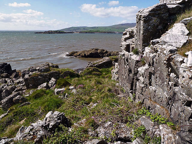
Castle Hill Plantation is a sprawling woodland located in Kirkcudbrightshire, Scotland. Covering an area of approximately 500 acres, it is renowned for its picturesque beauty and rich biodiversity. The plantation is situated on the slopes of Castle Hill, which offers stunning views of the surrounding countryside.
The plantation is primarily composed of mixed woodland, featuring a diverse range of tree species including oak, beech, ash, and birch. These trees provide a habitat for a wide variety of wildlife, making it a popular destination for nature enthusiasts and birdwatchers. Visitors can spot numerous bird species, including woodpeckers, owls, and buzzards, as well as mammals such as red squirrels and roe deer.
The woodland is well-maintained, with carefully laid-out paths and trails that allow visitors to explore its natural wonders. There are also designated picnic areas and viewpoints for visitors to relax and take in the tranquil surroundings. In addition, the plantation offers opportunities for outdoor activities such as hiking and mountain biking, with trails of varying difficulty levels.
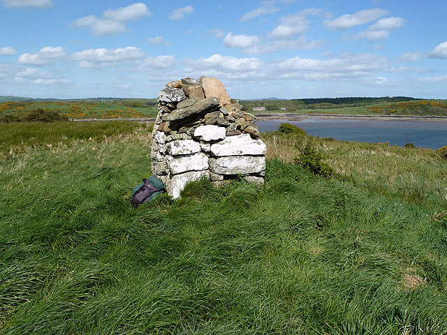
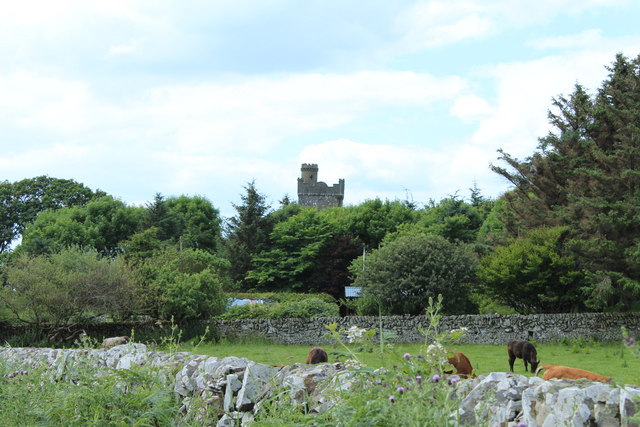
Castle Hill Plantation is not only a haven for nature lovers but also holds historical significance. The name "Castle Hill" refers to the remains of an ancient hillfort that once stood on the site, dating back to the Iron Age. The plantation's location near the historic town of Kirkcudbright further adds to its cultural appeal.
With its diverse ecosystem, scenic beauty, and historical significance, Castle Hill Plantation is a must-visit destination for those seeking a peaceful retreat in the heart of Kirkcudbrightshire's natural wonders.
If you have any feedback on the listing, please let us know in the comments section below.
Castle Hill Plantation Images
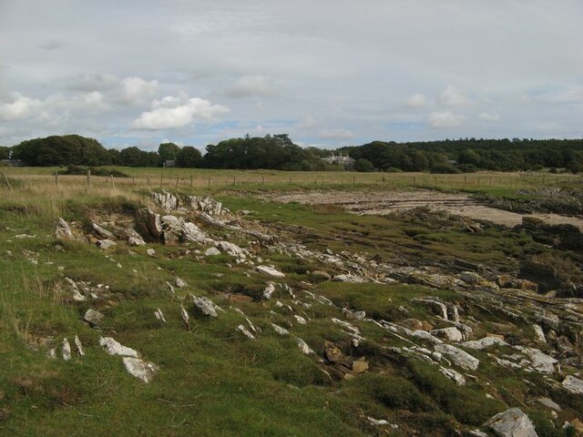
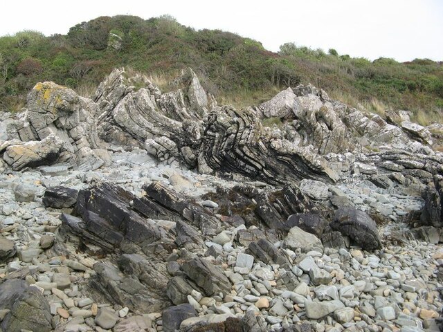
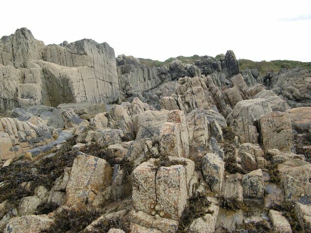
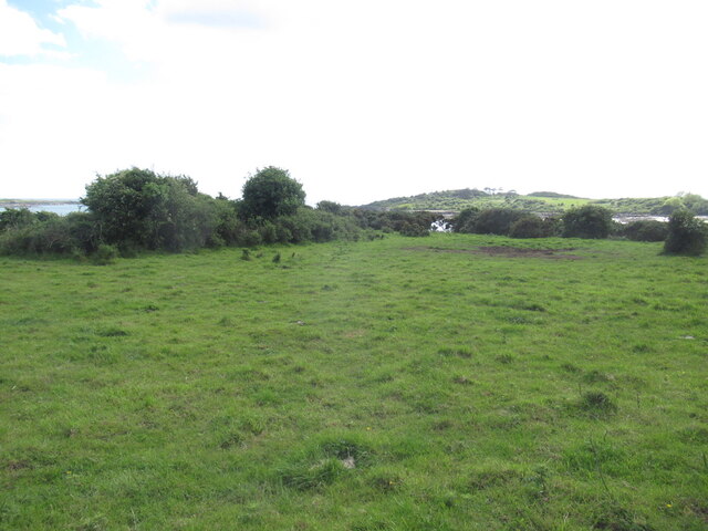
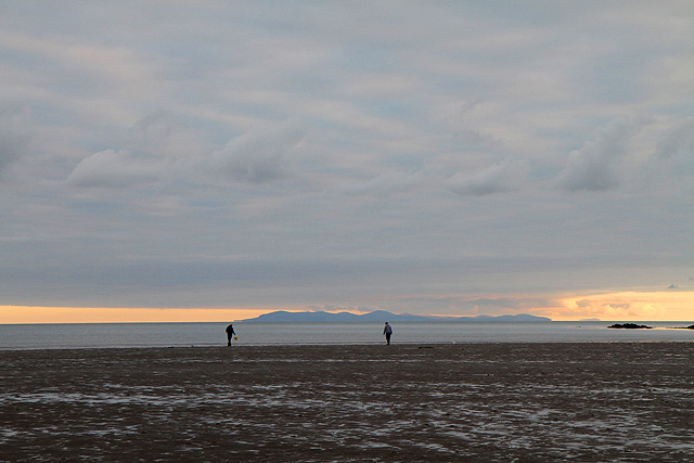
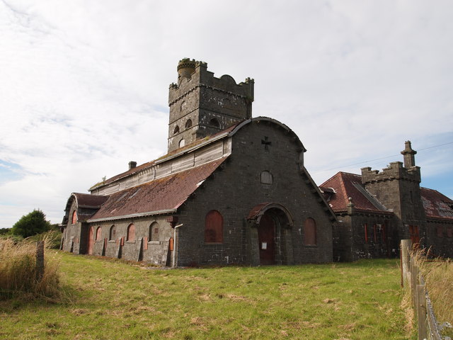
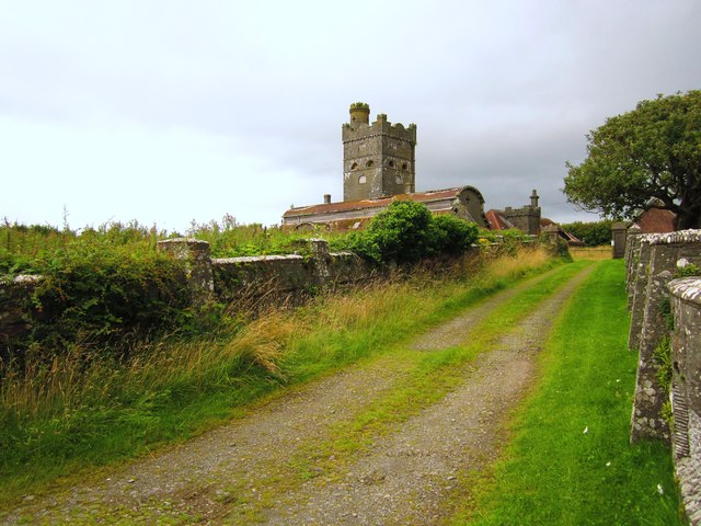
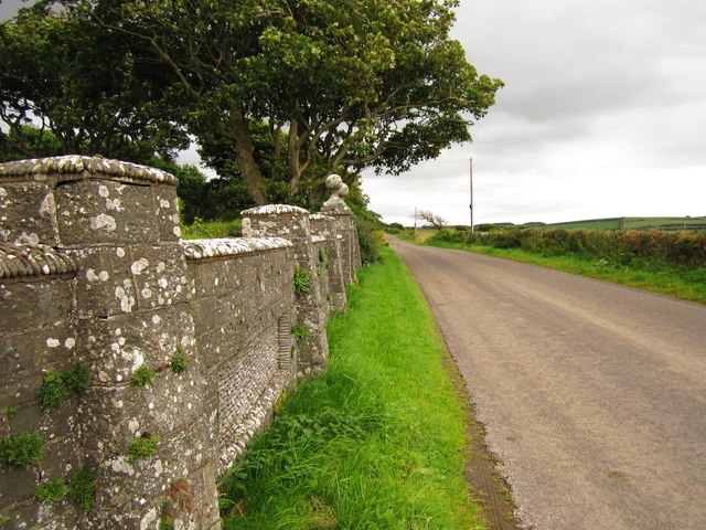
Images are sourced within 2km of 54.825841/-4.2074539 or Grid Reference NX5850. Thanks to Geograph Open Source API. All images are credited.

Castle Hill Plantation is located at Grid Ref: NX5850 (Lat: 54.825841, Lng: -4.2074539)
Unitary Authority: Dumfries and Galloway
Police Authority: Dumfries and Galloway
What 3 Words
///tastier.lifestyle.snowy. Near Kirkcudbright, Dumfries & Galloway
Nearby Locations
Related Wikis

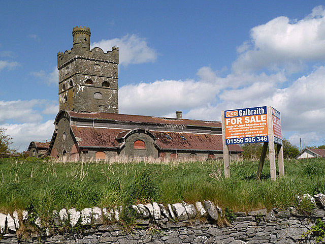
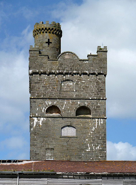
Corseyard Farm
Corseyard Farm, known locally as the Coo Palace and now marketed under that name, is an architecturally unusual dairy farm near Kirkandrews in Scotland...

Plunton Castle
Plunton Castle is a ruined L-plan tower house between Kirkandrews and Gatehouse of Fleet in Dumfries and Galloway, Scotland. Built around 1575 for the...

Kirkandrews, Dumfries and Galloway
Kirkandrews, sometimes written as Kirkanders in older documents, is a coastal hamlet about 9 kilometres (6 mi) west-southwest of Kirkcudbright in Dumfries...

Water of Fleet
The Water of Fleet is a river in Scotland flowing into Fleet Bay on the Solway Firth. Its two tributaries are the Big Water of Fleet, which begins around...

Islands of Fleet
The Islands of Fleet are a group of small islands in Galloway, Scotland. They are in Fleet Bay, which is part of Wigtown Bay, and is in turn part of the...

Girthon Old Parish Church
Girthon Old Parish Church is a ruined ecclesiastical building in Girthon, near Gatehouse of Fleet in Dumfries and Galloway. Built around 1620 on the foundations...

Ardwall House
Ardwall House is an eighteenth-century mansion near Gatehouse of Fleet in Dumfries and Galloway, Scotland. Built in 1762 for the McCullochs of Ardwall...

Borgue, Dumfries and Galloway
Borgue (pronounced /ˈbɔrɡ/; Scottish Gaelic: Borgh) is a village and parish in the Stewartry of Kirkcudbright in Dumfries and Galloway, Scotland. It lies...
Nearby Amenities
Located within 500m of 54.825841,-4.2074539Have you been to Castle Hill Plantation?
Leave your review of Castle Hill Plantation below (or comments, questions and feedback).