Rockery Plantation
Wood, Forest in Kirkcudbrightshire
Scotland
Rockery Plantation
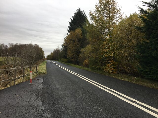
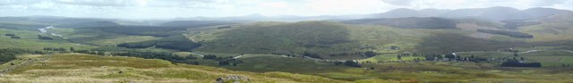
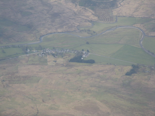
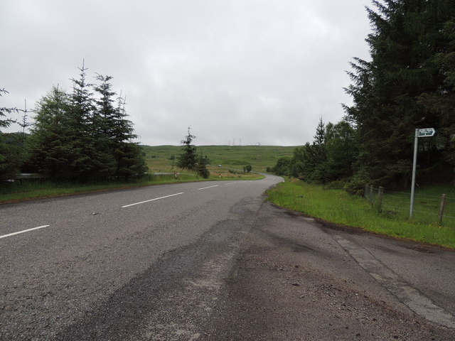
Rockery Plantation is a picturesque woodland located in Kirkcudbrightshire, Scotland. Situated in the southwest of the country, this enchanting forest covers a vast area and offers a serene and tranquil escape for nature enthusiasts.
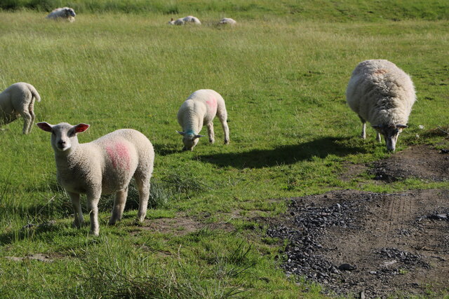
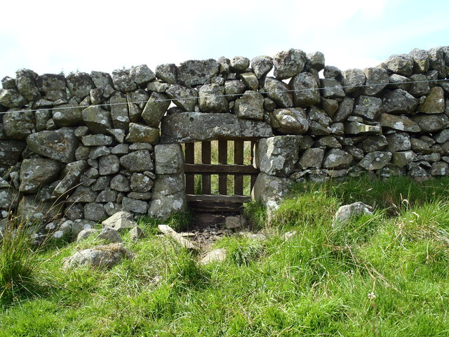
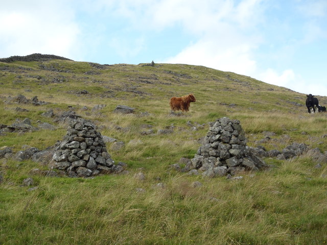
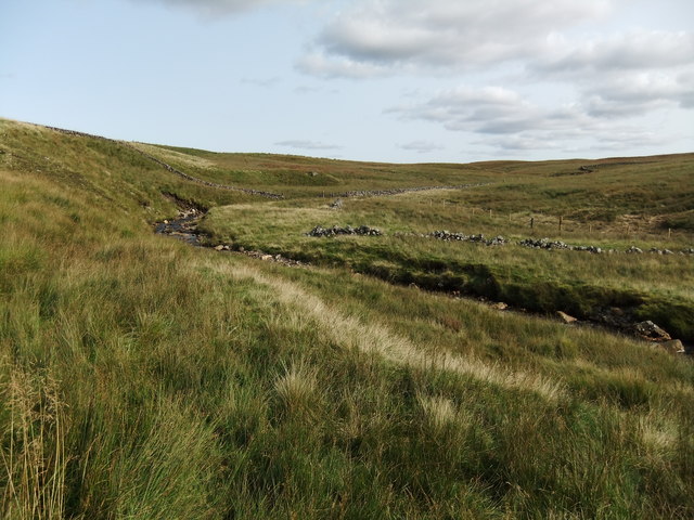
The woodland is characterized by its rocky terrain, which adds to its unique charm and beauty. Large boulders and outcrops are scattered throughout the plantation, creating a stunning natural landscape. The trees in Rockery Plantation are predominantly made up of native species such as oak, birch, and rowan, which provide a rich habitat for various wildlife.
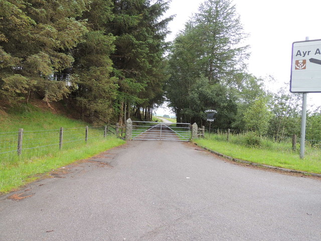
Visitors to Rockery Plantation can explore the numerous walking trails that wind their way through the woodland. These well-maintained paths offer an opportunity to immerse oneself in the natural surroundings and enjoy the peaceful ambiance. Along the way, there are informative signposts highlighting the flora and fauna present in the area, allowing visitors to learn more about the ecosystem.
Birdwatchers will also find Rockery Plantation to be a haven, as it is home to a diverse range of bird species. From woodpeckers to owls, there is a wealth of avian life to observe and appreciate. Additionally, the forest is known for its vibrant displays of wildflowers, adding bursts of color to the greenery.
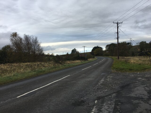
Rockery Plantation is easily accessible, with a car park located nearby for visitors' convenience. Whether one seeks a leisurely stroll amidst nature or a more adventurous exploration, this woodland offers a captivating experience for all who visit.
If you have any feedback on the listing, please let us know in the comments section below.
Rockery Plantation Images
Images are sourced within 2km of 55.213079/-4.2385603 or Grid Reference NX5793. Thanks to Geograph Open Source API. All images are credited.
Rockery Plantation is located at Grid Ref: NX5793 (Lat: 55.213079, Lng: -4.2385603)
Unitary Authority: Dumfries and Galloway
Police Authority: Dumfries and Galloway
What 3 Words
///taken.storeroom.shelter. Near Bellsbank, East Ayrshire
Related Wikis

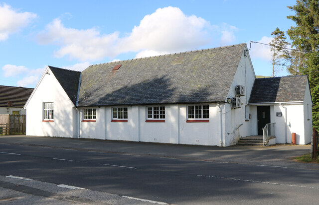
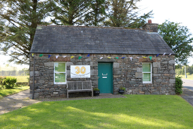
Carsphairn
Carsphairn (Scottish Gaelic: An Còrsa Feàrna) is a village in the historic county of Kirkcudbrightshire in Dumfries and Galloway, Scotland. It is located...

Cairnsmore of Carsphairn
Cairnsmore of Carsphairn is a hill in the Carsphairn and Scaur Hills range, part of the Southern Uplands of Scotland. An alternative name, rarely used...

Waukers Linn
Waukers Linn is a waterfall on Polharrow Burn in Dumfries and Galloway, Scotland. == See also == Waterfalls of Scotland == References ==

Loch Doon Castle
Loch Doon Castle was a castle that was located on an island within Loch Doon, Scotland. The original site and the relocated remains are designated as scheduled...

Windy Standard
Windy Standard is a hill in the Carsphairn and Scaur Hills range, part of the Southern Uplands of Scotland. It lies in Dumfries and Galloway, south of...

Polharrow Burn
Polharrow Burn is a small watercourse in Dumfries and Galloway, Scotland, in the historic county of Kirkcudbrightshire. It rises in Loch Harrow and flows...

Loch Doon
Loch Doon (Scottish Gaelic: Loch Dùin, pronounced [l̪ˠɔxˈt̪uːɲ]) is a freshwater loch in Carrick, Scotland. The River Doon issues from its northern end...

Craigmalloch
Craigmalloch is a small settlement in East Ayrshire, Scotland. == External links == Scotland's places Royal Commission on Ancient and Historical Monuments...
Nearby Amenities
Located within 500m of 55.213079,-4.2385603Have you been to Rockery Plantation?
Leave your review of Rockery Plantation below (or comments, questions and feedback).