Heathery Wood
Wood, Forest in Kirkcudbrightshire
Scotland
Heathery Wood
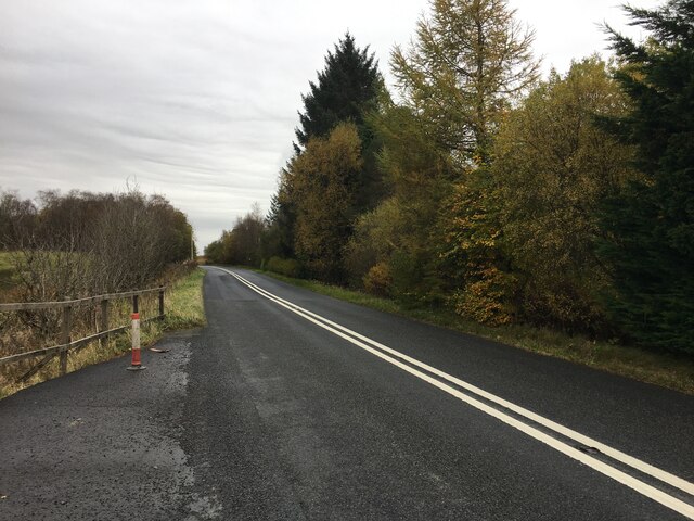
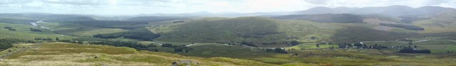
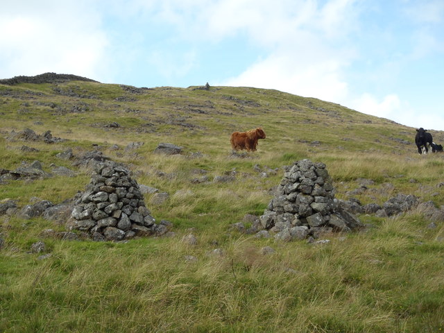
Heathery Wood is a picturesque forest located in the county of Kirkcudbrightshire, Scotland. Covering an area of approximately 100 acres, the wood is nestled amidst the rolling hills and lush green landscapes of the region. The wood is primarily composed of a mix of native trees, including oak, birch, and beech, creating a diverse and vibrant ecosystem.
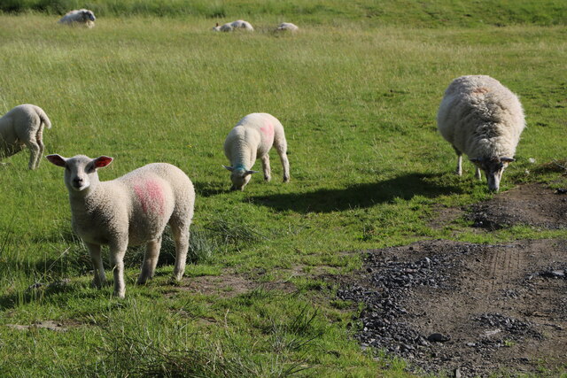
The woodland floor is carpeted with a rich variety of flora, including heather, bluebells, and wild garlic, which add to the enchanting beauty of the wood. The dense foliage provides a haven for a wide range of wildlife, including deer, rabbits, and numerous species of birds, making it a popular spot for nature enthusiasts and birdwatchers.
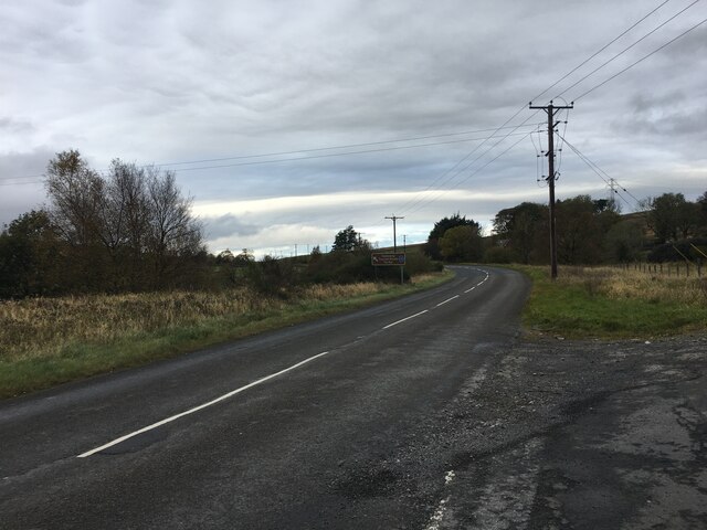
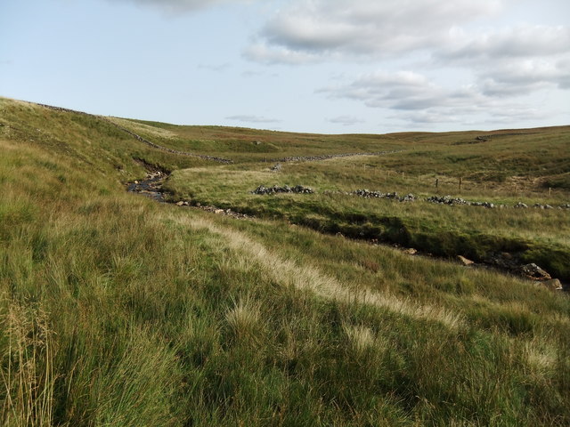
Heathery Wood is crisscrossed with a network of well-maintained walking trails, allowing visitors to explore the forest's natural wonders at their own pace. These paths wind through the trees, offering breathtaking views of the surrounding countryside and glimpses of the nearby River Dee.
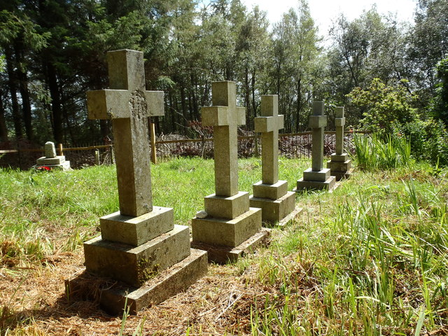
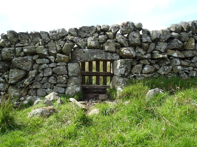
In addition to its natural beauty, Heathery Wood also holds historical significance. The wood is believed to have been part of an ancient hunting ground, with remnants of old hunting lodges and boundary markers still visible today.
Whether you are seeking a peaceful retreat in nature, an opportunity to spot wildlife, or a chance to delve into the history of the area, Heathery Wood is a must-visit destination in Kirkcudbrightshire.
If you have any feedback on the listing, please let us know in the comments section below.
Heathery Wood Images
Images are sourced within 2km of 55.217533/-4.2353674 or Grid Reference NX5793. Thanks to Geograph Open Source API. All images are credited.


Heathery Wood is located at Grid Ref: NX5793 (Lat: 55.217533, Lng: -4.2353674)
Unitary Authority: Dumfries and Galloway
Police Authority: Dumfries and Galloway
What 3 Words
///invented.seemingly.grad. Near Bellsbank, East Ayrshire
Related Wikis

Carsphairn
Carsphairn (Scottish Gaelic: An Còrsa Feàrna) is a village in the historic county of Kirkcudbrightshire in Dumfries and Galloway, Scotland. It is located...

Cairnsmore of Carsphairn
Cairnsmore of Carsphairn is a hill in the Carsphairn and Scaur Hills range, part of the Southern Uplands of Scotland. An alternative name, rarely used...

Waukers Linn
Waukers Linn is a waterfall on Polharrow Burn in Dumfries and Galloway, Scotland. == See also == Waterfalls of Scotland == References ==

Windy Standard
Windy Standard is a hill in the Carsphairn and Scaur Hills range, part of the Southern Uplands of Scotland. It lies in Dumfries and Galloway, south of...

Loch Doon Castle
Loch Doon Castle was a castle that was located on an island within Loch Doon, Scotland. The original site and the relocated remains are designated as scheduled...

Loch Doon
Loch Doon (Scottish Gaelic: Loch Dùin, pronounced [l̪ˠɔxˈt̪uːɲ]) is a freshwater loch in Carrick, Scotland. The River Doon issues from its northern end...

Craigmalloch
Craigmalloch is a small settlement in East Ayrshire, Scotland. == External links == Scotland's places Royal Commission on Ancient and Historical Monuments...

Polharrow Burn
Polharrow Burn is a small watercourse in Dumfries and Galloway, Scotland, in the historic county of Kirkcudbrightshire. It rises in Loch Harrow and flows...
Nearby Amenities
Located within 500m of 55.217533,-4.2353674Have you been to Heathery Wood?
Leave your review of Heathery Wood below (or comments, questions and feedback).