Brae Plantation
Wood, Forest in Kirkcudbrightshire
Scotland
Brae Plantation
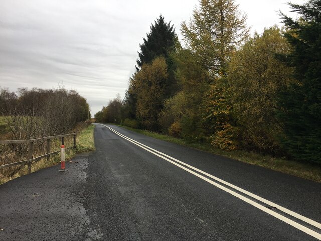
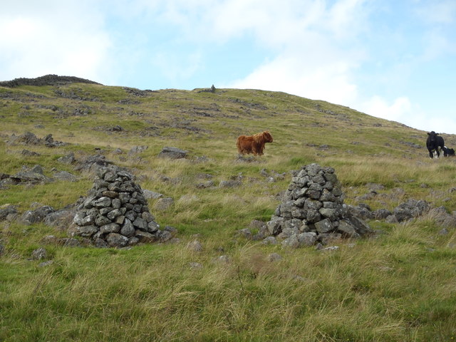
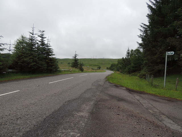
Brae Plantation is a picturesque woodland area located in Kirkcudbrightshire, Scotland. Spread across a vast expanse of land, this plantation is renowned for its stunning natural beauty and diverse range of plant and animal species.
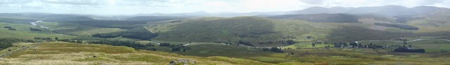
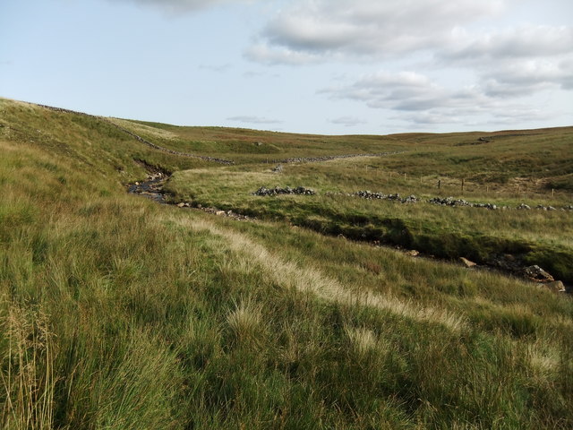
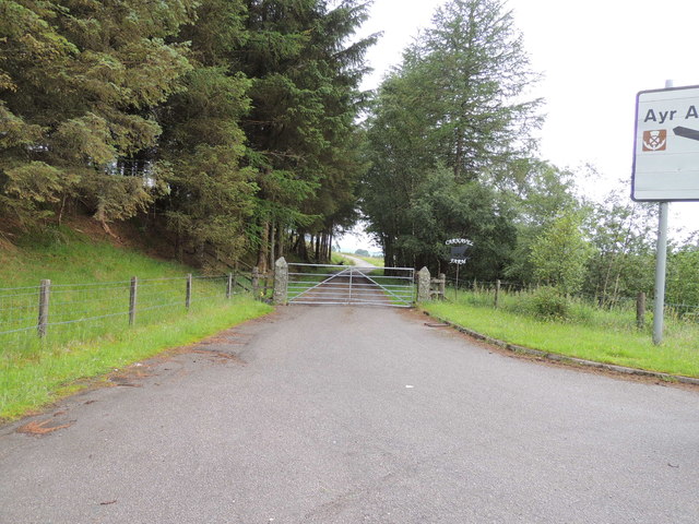
The woodland is predominantly comprised of native tree species such as oak, birch, and beech, creating a dense and lush canopy. The plantation is well-maintained, with clear pathways and trails that allow visitors to explore the area easily. These paths wind through the woodland, offering breathtaking views of the surrounding countryside and nearby hills.
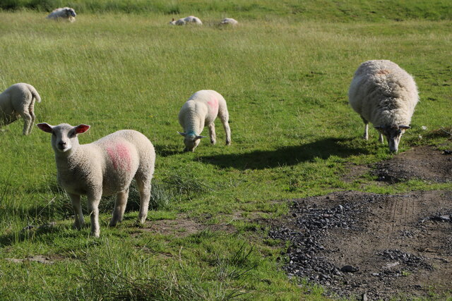
Brae Plantation is not only a haven for nature enthusiasts, but also serves as a sanctuary for various wildlife species. The woodland is home to a plethora of birds, including woodpeckers, owls, and various songbirds. Additionally, visitors may also encounter small mammals such as red squirrels and rabbits.
The plantation is a popular destination for outdoor activities such as walking, hiking, and birdwatching. Its tranquil ambiance and serene surroundings make it an ideal spot for relaxation and rejuvenation. Visitors can also enjoy a picnic amidst the natural beauty or simply sit and soak in the peaceful atmosphere.
Overall, Brae Plantation in Kirkcudbrightshire is a delightful destination for those seeking solace in nature. With its diverse flora and fauna, well-maintained trails, and stunning vistas, it offers a truly immersive and memorable experience for all who visit.
If you have any feedback on the listing, please let us know in the comments section below.
Brae Plantation Images
Images are sourced within 2km of 55.211528/-4.2388347 or Grid Reference NX5793. Thanks to Geograph Open Source API. All images are credited.
Brae Plantation is located at Grid Ref: NX5793 (Lat: 55.211528, Lng: -4.2388347)
Unitary Authority: Dumfries and Galloway
Police Authority: Dumfries and Galloway
What 3 Words
///episodes.thud.widely. Near Bellsbank, East Ayrshire
Related Wikis

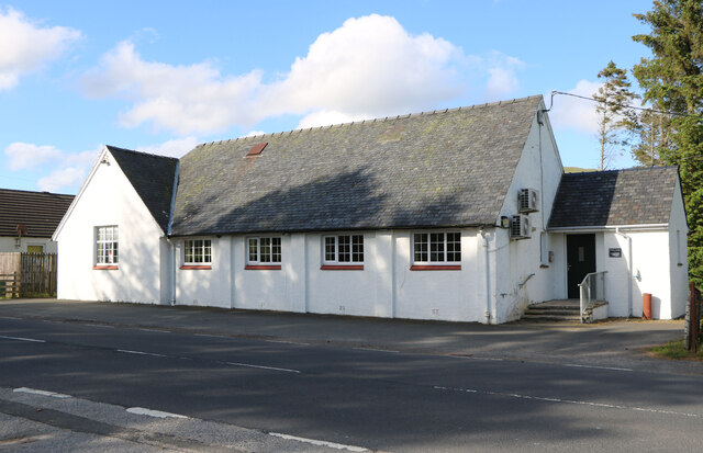
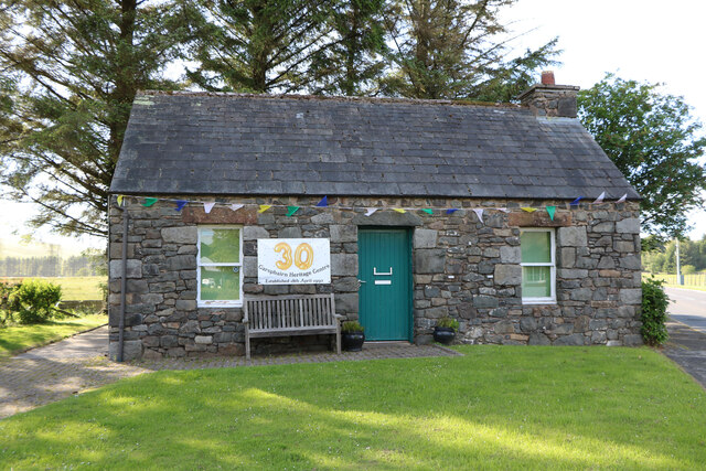
Carsphairn
Carsphairn (Scottish Gaelic: An Còrsa Feàrna) is a village in the historic county of Kirkcudbrightshire in Dumfries and Galloway, Scotland. It is located...

Cairnsmore of Carsphairn
Cairnsmore of Carsphairn is a hill in the Carsphairn and Scaur Hills range, part of the Southern Uplands of Scotland. An alternative name, rarely used...

Waukers Linn
Waukers Linn is a waterfall on Polharrow Burn in Dumfries and Galloway, Scotland. == See also == Waterfalls of Scotland == References ==

Loch Doon Castle
Loch Doon Castle was a castle that was located on an island within Loch Doon, Scotland. The original site and the relocated remains are designated as scheduled...
Nearby Amenities
Located within 500m of 55.211528,-4.2388347Have you been to Brae Plantation?
Leave your review of Brae Plantation below (or comments, questions and feedback).