Blackhill Wood

Wood, Forest in Stirlingshire

Scotland

Blackhill Wood

The Great Corrie of Balglass Looking South from B818 towards the corrie in the Campsie Fells some 3km distant.
The Great Corrie of Balglass Credit: JOHN MORELAND

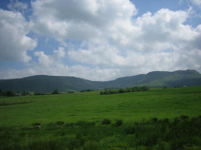
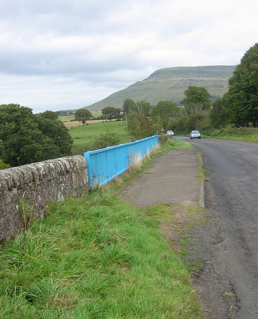
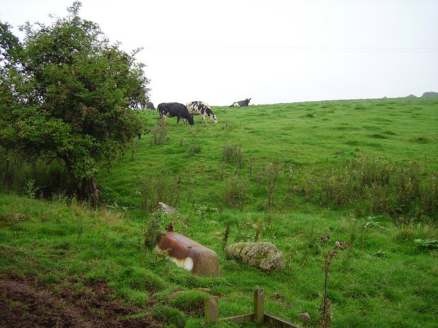
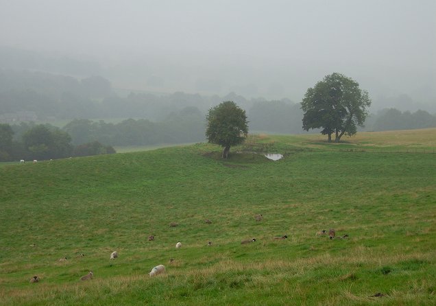
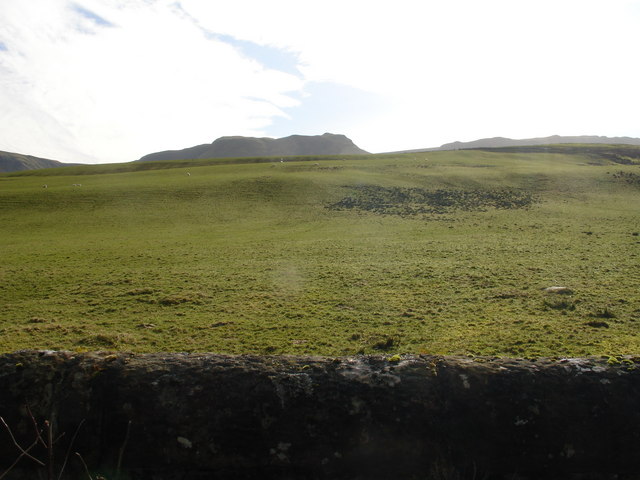
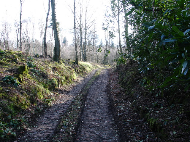
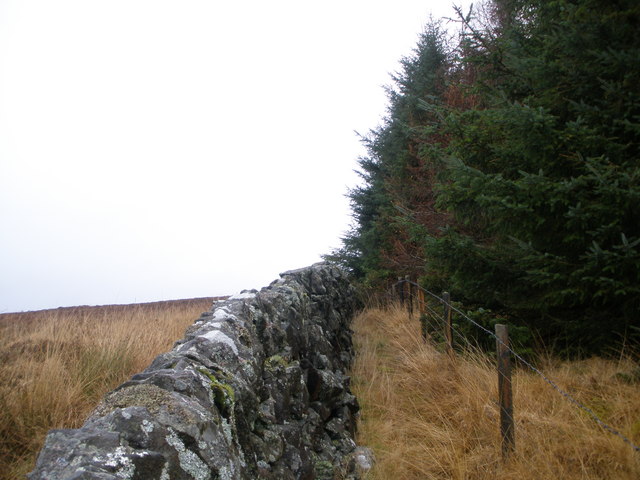
Blackhill Wood is a stunning forest located in the region of Stirlingshire, Scotland. Covering an area of approximately 500 acres, it is known for its natural beauty, diverse flora and fauna, and historical significance. The wood is situated on the southern slope of the Campsie Fells, offering breathtaking views of the surrounding landscape.

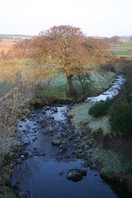
The tree species found in Blackhill Wood are predominantly broadleaf, including oak, birch, beech, and hazel trees. These trees create a dense canopy that provides a habitat for a variety of wildlife, such as red squirrels, roe deer, and numerous bird species. The wood is also home to a variety of plants, including bluebells, wood anemones, and wild garlic, which contribute to its vibrant ecosystem.

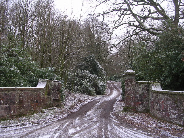
Visitors to Blackhill Wood can enjoy a range of recreational activities. There are numerous walking trails that meander through the forest, offering opportunities for peaceful strolls and invigorating hikes. The wood also features picnic areas, allowing visitors to relax and enjoy the tranquil surroundings. It is a popular destination for nature lovers, photographers, and families looking to escape the hustle and bustle of everyday life.

In addition to its natural beauty, Blackhill Wood holds historical significance. The wood is believed to have been an important source of timber during the Roman occupation of Scotland, and remnants of ancient settlements and fortifications can still be found within its boundaries.

Overall, Blackhill Wood is a captivating destination that offers a blend of natural wonders and historical intrigue, making it a must-visit location for both locals and tourists alike.

If you have any feedback on the listing, please let us know in the comments section below.

Blackhill Wood Images

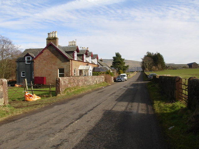
Images are sourced within 2km of 56.071511/-4.2953041 or Grid Reference NS5788. Thanks to Geograph Open Source API. All images are credited.

The Great Corrie of Balglass Looking South from B818 towards the corrie in the Campsie Fells some 3km distant.
The Great Corrie of Balglass
Looking South from B818 towards the corrie in the Campsie Fells some 3km distant.
B818 near Fintry. Bridge on the road leading west from Fintry. Looking towards Fintry with Stronend in the background.
B818 near Fintry.
Bridge on the road leading west from Fintry. Looking towards Fintry with Stronend in the background.
Driveway to Ballikinrain Castle
Balglass Burn Looking NE from position
Balglass Burn
Looking NE from position
The coupit bath Cattle ignore an old bath tub near Dalfoil. It was probably used once as a water trough, (and a bath).
The coupit bath
Cattle ignore an old bath tub near Dalfoil. It was probably used once as a water trough, (and a bath).
Sheep grazing, Kiltrochan Just outside Balfron, and overlooking the Endrick Water, a sheep field with a hanging pond.
Sheep grazing, Kiltrochan
Just outside Balfron, and overlooking the Endrick Water, a sheep field with a hanging pond.
Ballikinrain
Ballikinrain
Ballikinrain Pasture
Rennie's Campsite - Ballikinrain Now just a rutted track, within the grounds of Ballikinrain Castle School, between 1950-1974 this land was used as a tourist caravan and camping site, complete with site shop and outside swimming pool. Evidence of the pool - which was fed by Campsie spring water - can still be seen, however scrub has reclaimed the land and after 50-odd years, nobody will remember what was once there.
Rennie's Campsite - Ballikinrain
Now just a rutted track, within the grounds of Ballikinrain Castle School, between 1950-1974 this land was used as a tourist caravan and camping site, complete with site shop and outside swimming pool. Evidence of the pool - which was fed by Campsie spring water - can still be seen, however scrub has reclaimed the land and after 50-odd years, nobody will remember what was once there.
Ballikinrain
Ballikinrain
Bridge over the River Endrick
Rough Moorland
Rough Moorland
Looking down the Holm Burn
Lone tree on Ballindalloch Muir
Forest corner
Forest corner
Broughmore Farm Balfron
Edge of the forest above Wester Balgair Farm
Show me another place!

Blackhill Wood is located at Grid Ref: NS5788 (Lat: 56.071511, Lng: -4.2953041)

Unitary Authority: Stirling

Police Authority: Forth Valley

What 3 Words

///discussed.relegate.sizing. Near Balfron, Stirling

Related Wikis

Ballikinrain

Ballikinrain is an independent residential school in Stirling, central Scotland. It is run by CrossReach, a social care outreach arm of the Church of Scotland...

Balfron High School

Balfron High School is a secondary school situated in the village of Balfron, approximately 18 miles (29 km) west of Stirling and 16 miles (26 km) north...

Balfron

Balfron (Scottish Gaelic: Both Fron) is a village in the Stirling council area of Scotland. It is situated near Endrick Water on the A875 road, 18 miles...

Boquhan

Boquhan (pronounced Bowhan) is a hamlet in Stirling, Scotland, sometimes known as Wester Boquhan to distinguish it from the other nearby Boquhan, near...

Nearby Amenities

Located within 500m of 56.071511,-4.2953041
Power: pole
Lat/Long: 56.068065/-4.2910354
Power: pole
Lat/Long: 56.0682962/-4.2925602
Power: pole
Lat/Long: 56.0685554/-4.294242
Power: pole
Lat/Long: 56.0687445/-4.2955159
Power: pole
Lat/Long: 56.0689524/-4.2968546
Power: pole
Lat/Long: 56.0691403/-4.2981368
Power: pole
Lat/Long: 56.0692793/-4.2995237
Power: pole
Lat/Long: 56.0694194/-4.301287
Power: pole
Lat/Long: 56.0727837/-4.2894394
Power: pole
Lat/Long: 56.0720259/-4.2899979
Power: pole
Lat/Long: 56.0713605/-4.2904727
Power: pole
Lat/Long: 56.071016/-4.2907049
Power: pole
Lat/Long: 56.0703832/-4.2911441
Power: pole
Lat/Long: 56.0696173/-4.2916482
Power: pole
Lat/Long: 56.0691117/-4.2920185
The data included in this document is from www.openstreetmap.org. The data is made available under ODbL.

Have you been to Blackhill Wood?

Leave your review of Blackhill Wood below (or comments, questions and feedback).