Whinny Rig Plantation

Wood, Forest in Kirkcudbrightshire

Scotland

Whinny Rig Plantation

Lagwyne Hall, Carsphairn Village Hall beside the A713.
Lagwyne Hall, Carsphairn Credit: Billy McCrorie

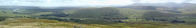
Whinny Rig Plantation is a beautiful woodland located in Kirkcudbrightshire, Scotland. Spanning over a vast area, this plantation is known for its lush greenery, diverse flora and fauna, and breathtaking views of the surrounding landscape.

The plantation is primarily composed of evergreen and deciduous trees, including oak, birch, and pine. These trees form a dense canopy that provides shade and shelter for a variety of wildlife species. The undergrowth is also abundant with ferns, mosses, and wildflowers, creating a vibrant and picturesque setting.

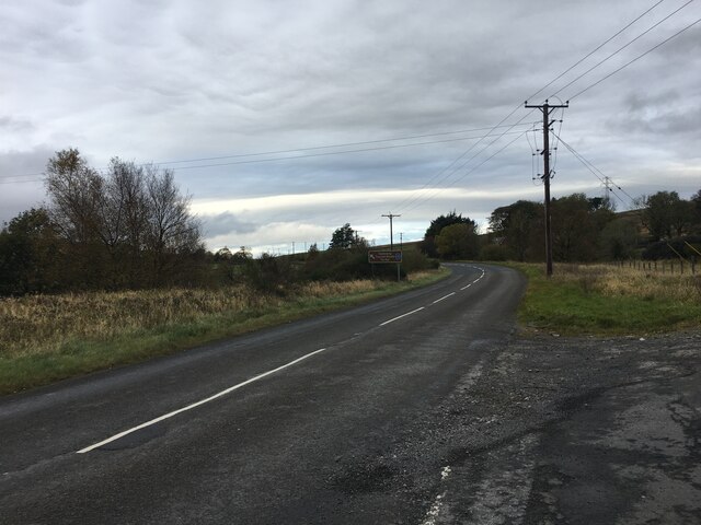
Whinny Rig Plantation offers several well-maintained trails that wind through the woodland, allowing visitors to explore and admire its natural beauty. These trails are suitable for all ages and fitness levels, making it an ideal destination for families, hikers, and nature enthusiasts.

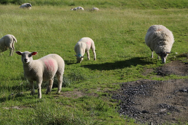
The plantation is home to a rich array of wildlife, including red squirrels, roe deer, and numerous bird species. Birdwatchers can spot woodpeckers, owls, and various migratory birds throughout the year. The tranquil atmosphere and diverse wildlife make Whinny Rig Plantation a haven for nature lovers and photographers.

The plantation is easily accessible, with a nearby parking area and well-marked entrances. There are also picnic areas and benches scattered throughout the woodland, allowing visitors to relax and soak in the peaceful surroundings.

Whinny Rig Plantation is a true gem in Kirkcudbrightshire, offering a haven of natural beauty and tranquility for all who visit.

If you have any feedback on the listing, please let us know in the comments section below.

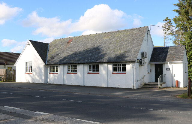
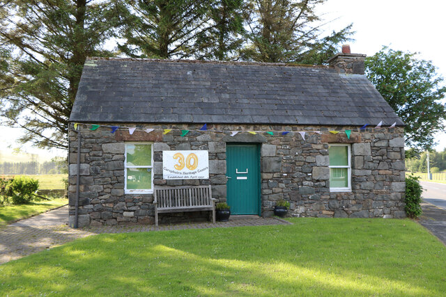
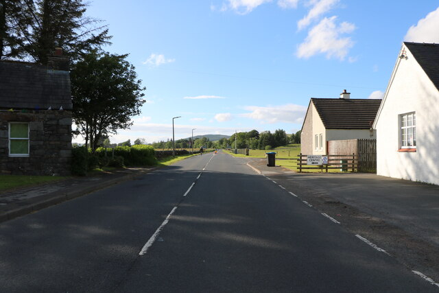
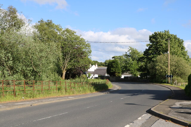
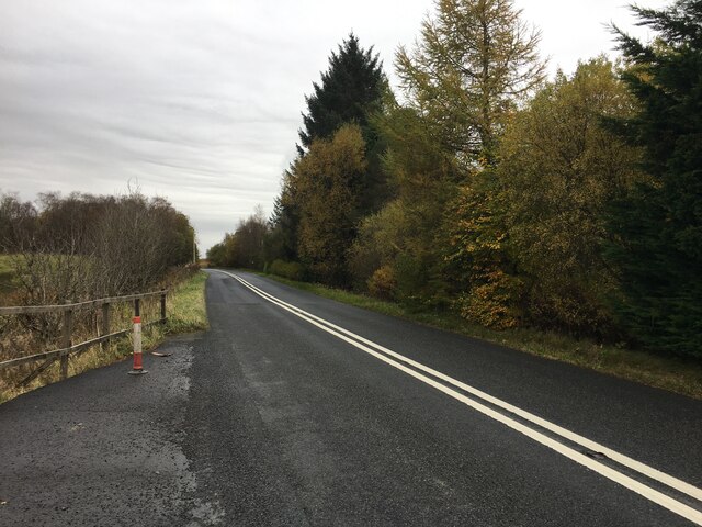
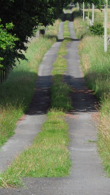
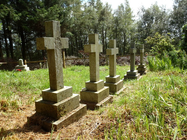
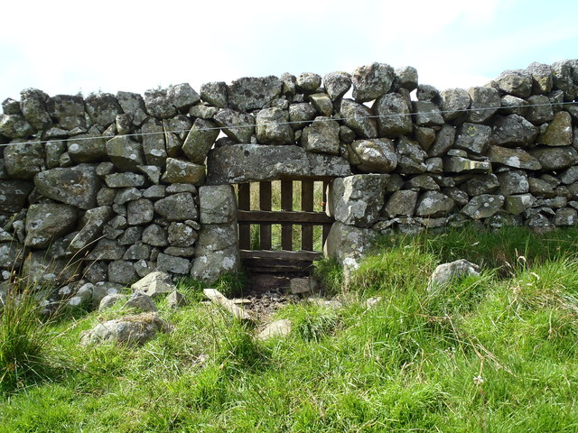
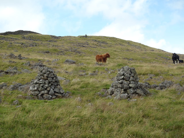
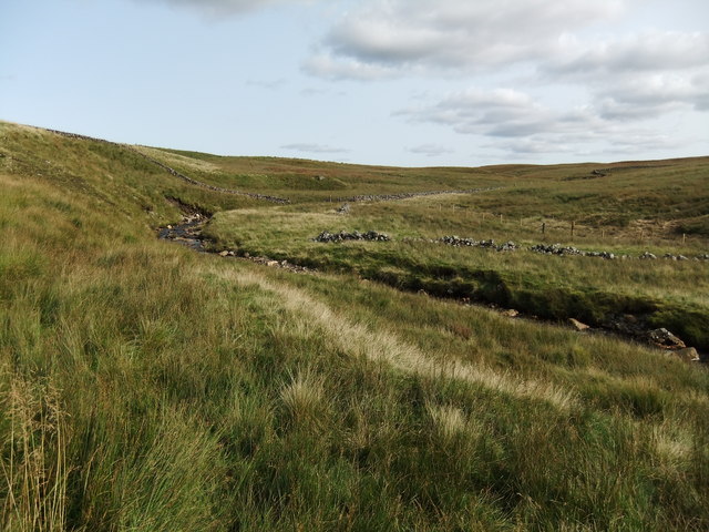
Whinny Rig Plantation Images

Images are sourced within 2km of 55.21371/-4.2457798 or Grid Reference NX5793. Thanks to Geograph Open Source API. All images are credited.

Lagwyne Hall, Carsphairn Village Hall beside the A713.
Lagwyne Hall, Carsphairn
Village Hall beside the A713.
Heritage Centre, Carsphairn Celebrating 30 years. Next to the A713
Heritage Centre, Carsphairn
Celebrating 30 years. Next to the A713
The A713 leaving Carsphairn Heading to Ayr, on the left is the Heritage Centre and on the right the Village Hall.
The A713 leaving Carsphairn
Heading to Ayr, on the left is the Heritage Centre and on the right the Village Hall.
The A713 in Carsphairn Heading for Castle Douglas.
The A713 in Carsphairn
Heading for Castle Douglas.
Ewe and Lambs At Carsphairn next to the Heritage Centre.
Ewe and Lambs
At Carsphairn next to the Heritage Centre.
Lagwyne Village Hall The Lagwyne Hall serves the village of Carsphain. It stands opposite the Heritage Centre. It takes its name from the home of local resident Thomas McAdam, pioneer of the process of road surfacing which took his name.
Lagwyne Village Hall
The Lagwyne Hall serves the village of Carsphain. It stands opposite the Heritage Centre. It takes its name from the home of local resident Thomas McAdam, pioneer of the process of road surfacing which took his name.
Carsphairn Graveyard Carsphairn Graveyard.
Carsphairn Graveyard
Carsphairn Graveyard.
A713 towards Carsphairn
A713 towards Castle Douglas
Looking southwest along lane from Holm of Daltallochan near Carshairn
Knockgray Cemetery
Knockgray Cemetery
Panoramic view from Craig of Knockgray Kendoon Loch, the Rhinns of Kells and the village of Carsphairn are all clearly visible from this Glenkens vantage point.
Panoramic view from Craig of Knockgray
Kendoon Loch, the Rhinns of Kells and the village of Carsphairn are all clearly visible from this Glenkens vantage point.
Lunky Hole near Tup Park Knowe A well constructed "Lunky Hole" - access point to allow sheep to move from one area of pasture to another. Cattle would of course be too large to use this facility and therefore segregated on each side.
Lunky Hole near Tup Park Knowe
A well constructed "Lunky Hole" - access point to allow sheep to move from one area of pasture to another. Cattle would of course be too large to use this facility and therefore segregated on each side.
Twin Cairns on the slopes of Craig of Knockgray
The Benloch Burn
The Benloch Burn
Old bridge by the Green Well of Scotland
Woods beneath Craig of Knockgray
The Benloch Burn
The Benloch Burn
Show me another place!

Whinny Rig Plantation is located at Grid Ref: NX5793 (Lat: 55.21371, Lng: -4.2457798)

Unitary Authority: Dumfries and Galloway

Police Authority: Dumfries and Galloway

What 3 Words

///suspends.bravest.highbrow. Near Bellsbank, East Ayrshire

Related Wikis

Carsphairn

Carsphairn (Scottish Gaelic: An Còrsa Feàrna) is a village in the historic county of Kirkcudbrightshire in Dumfries and Galloway, Scotland. It is located...

Cairnsmore of Carsphairn

Cairnsmore of Carsphairn is a hill in the Carsphairn and Scaur Hills range, part of the Southern Uplands of Scotland. An alternative name, rarely used...

Waukers Linn

Waukers Linn is a waterfall on Polharrow Burn in Dumfries and Galloway, Scotland. == See also == Waterfalls of Scotland == References ==

Loch Doon Castle

Loch Doon Castle was a castle that was located on an island within Loch Doon, Scotland. The original site and the relocated remains are designated as scheduled...

Loch Doon

Loch Doon (Scottish Gaelic: Loch Dùin, pronounced [l̪ˠɔxˈt̪uːɲ]) is a freshwater loch in Carrick, Scotland. The River Doon issues from its northern end...

Craigmalloch

Craigmalloch is a small settlement in East Ayrshire, Scotland. == External links == Scotland's places Royal Commission on Ancient and Historical Monuments...

Windy Standard

Windy Standard is a hill in the Carsphairn and Scaur Hills range, part of the Southern Uplands of Scotland. It lies in Dumfries and Galloway, south of...

Polharrow Burn

Polharrow Burn is a small watercourse in Dumfries and Galloway, Scotland, in the historic county of Kirkcudbrightshire. It rises in Loch Harrow and flows...

Nearby Amenities

Located within 500m of 55.21371,-4.2457798
Historic: memorial
Lat/Long: 55.21122/-4.2511562
Liggate
Created By: Potlatch 0.10f
Is In: Dumfries and Galloway
Place: hamlet
Lat/Long: 55.2121512/-4.2523002
Addr City: Carsphairn
Addr Housenumber: Knockgray
Lat/Long: 55.2128436/-4.2412931
Bench
Lat/Long: 55.2112539/-4.2512533
Tourism: information
Lat/Long: 55.2113394/-4.25091
Power: tower
Lat/Long: 55.2103461/-4.2480124
Power: tower
Lat/Long: 55.2117468/-4.2499249
Power: tower
Lat/Long: 55.2136065/-4.2523885
Power: pole
Lat/Long: 55.2105923/-4.2406575
Power: pole
Lat/Long: 55.2114857/-4.2400244
Power: pole
Lat/Long: 55.2121172/-4.2395697
Power: pole
Lat/Long: 55.2129086/-4.2392426
Power: pole
Lat/Long: 55.2136674/-4.238926
Power: pole
Lat/Long: 55.2099075/-4.249134
Power: pole
Lat/Long: 55.2102687/-4.2499307
Power: pole
Lat/Long: 55.2106105/-4.2506552
Power: pole
Lat/Long: 55.2109038/-4.2513562
Power: pole
Lat/Long: 55.2112141/-4.2521232
The data included in this document is from www.openstreetmap.org. The data is made available under ODbL.

Have you been to Whinny Rig Plantation?

Leave your review of Whinny Rig Plantation below (or comments, questions and feedback).