Barnhill Wood

Wood, Forest in Kirkcudbrightshire

Scotland

Barnhill Wood

The History of a figurehead at Fred Olsen's house This figurehead was borne by the passenger liner, the first "BLACK WATCH", which entered service for Fred Olsen lines between Newcastle and Oslo early in 1939.
With the outbreak of WWII in September 1939 the "BLACK WATCH" was laid up in a Norwegian fjord only to be commandeered by the German Navy on Germany's invasion of Norway.
The vessel then served as a communication centre and supply ship until May 5th, 1945, two days before the end of hostilities, when she was bombed and sunk in 150 feet of water at Kilbotn near Harstad, Norway by the Fleet Air Arm.
No more was heard of the "Black Watch" until 1963 when a salvage firm began operations to recover the hull for scrap and the first thing they brought up after nearly 20 years under water was this figurehead, which was returned to its owner, Fred Olsen, who has restored it and placed it at the entrance to his Galloway estate.
The History of a figurehead at Fred Olsen's house Credit: Raibeart MacAoidh

Barnhill Wood is a picturesque woodland located in Kirkcudbrightshire, Scotland. Situated near the village of Gatehouse of Fleet, it spans an area of approximately 50 hectares. The woodland is part of the larger Galloway Forest Park, which is renowned for its natural beauty and diverse ecosystem.

Barnhill Wood is predominantly composed of native broadleaf trees, including oak, ash, birch, and beech. These trees provide a dense canopy, creating a serene and peaceful atmosphere within the woodland. The forest floor is covered in a thick carpet of moss and ferns, adding to its enchanting ambiance.

The woodland is crisscrossed by a network of well-maintained trails, which are perfect for leisurely walks and exploring the area. These trails offer visitors the opportunity to observe the local flora and fauna up close, with sightings of birds, squirrels, and deer being common.

Barnhill Wood is also home to a variety of wildflowers, which bloom during the spring and summer months, adding vibrant colors to the landscape. The wood is particularly famous for its bluebells, creating a stunning visual display when they blanket the forest floor.

In addition to its natural beauty, Barnhill Wood also holds historical significance. It is believed that the woodland has been used by humans for thousands of years, with remnants of ancient settlements and burial sites discovered in the area.

Overall, Barnhill Wood is a cherished natural gem in Kirkcudbrightshire, offering visitors a tranquil escape into the captivating world of Scottish woodlands.

If you have any feedback on the listing, please let us know in the comments section below.

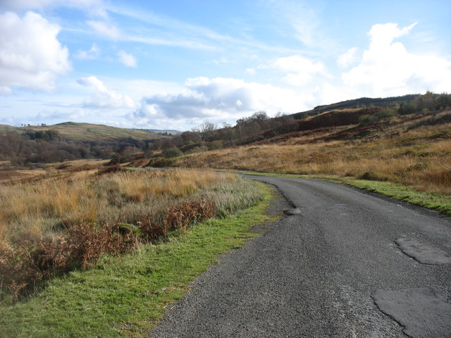
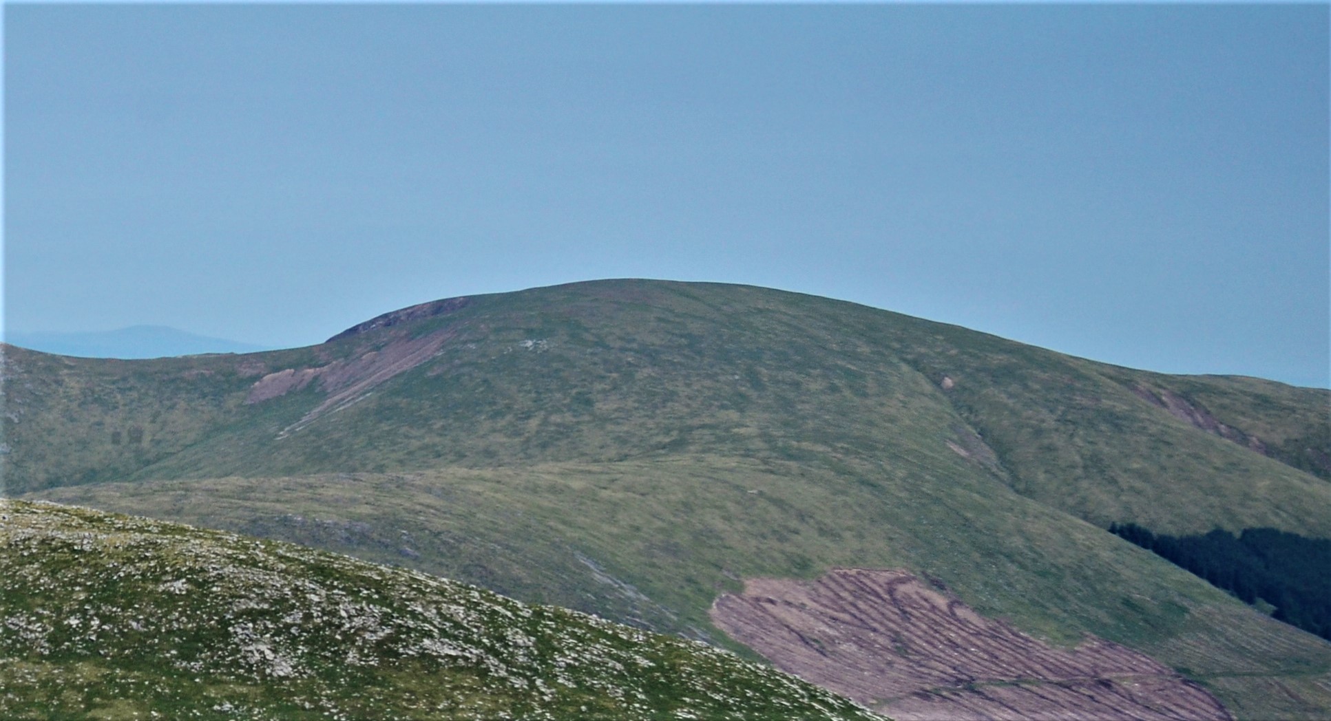
Barnhill Wood Images

Images are sourced within 2km of 55.151547/-4.2690613 or Grid Reference NX5586. Thanks to Geograph Open Source API. All images are credited.

The History of a figurehead at Fred Olsen's house This figurehead was borne by the passenger liner, the first "BLACK WATCH", which entered service for Fred Olsen lines between Newcastle and Oslo early in 1939.
With the outbreak of WWII in September 1939 the "BLACK WATCH" was laid up in a Norwegian fjord only to be commandeered by the German Navy on Germany's invasion of Norway.
The vessel then served as a communication centre and supply ship until May 5th, 1945, two days before the end of hostilities, when she was bombed and sunk in 150 feet of water at Kilbotn near Harstad, Norway by the Fleet Air Arm.
No more was heard of the "Black Watch" until 1963 when a salvage firm began operations to recover the hull for scrap and the first thing they brought up after nearly 20 years under water was this figurehead, which was returned to its owner, Fred Olsen, who has restored it and placed it at the entrance to his Galloway estate.
The History of a figurehead at Fred Olsen's house
This figurehead was borne by the passenger liner, the first "BLACK WATCH", which entered service for Fred Olsen lines between Newcastle and Oslo early in 1939. With the outbreak of WWII in September 1939 the "BLACK WATCH" was laid up in a Norwegian fjord only to be commandeered by the German Navy on Germany's invasion of Norway. The vessel then served as a communication centre and supply ship until May 5th, 1945, two days before the end of hostilities, when she was bombed and sunk in 150 feet of water at Kilbotn near Harstad, Norway by the Fleet Air Arm. No more was heard of the "Black Watch" until 1963 when a salvage firm began operations to recover the hull for scrap and the first thing they brought up after nearly 20 years under water was this figurehead, which was returned to its owner, Fred Olsen, who has restored it and placed it at the entrance to his Galloway estate.
Mid Burn near Burnhead A changed view from <a href="https://www.geograph.org.uk/photo/1145642">NX5485 : The Mid Burn near Burnhead</a> now that the trees have been felled and the burn is down to a trickle after many weeks of dry weather.
Mid Burn near Burnhead
A changed view from NX5485 : The Mid Burn near Burnhead now that the trees have been felled and the burn is down to a trickle after many weeks of dry weather.
Road to A713 at the entrance to The Green House Looking south-eastward.
Road to A713 at the entrance to The Green House
Looking south-eastward.
Road near Dukieston Looking westward.
Road near Dukieston
Looking westward.
Road and Burnhead Bridge Looking westward.
Road and Burnhead Bridge
Looking westward.
Forestry road near Burnhead Fork on the Professor Hans Heiberg road.
Forestry road near Burnhead
Fork on the Professor Hans Heiberg road.
The drive to Forrest Lodge Showing the "Black Watch" figurehead.
The drive to Forrest Lodge
Showing the "Black Watch" figurehead.
Forrest Estate "Black Watch" plaque
The Robert McLellan Watson memorial stone Near the car park at Forrest Lodge.
The Robert McLellan Watson memorial stone
Near the car park at Forrest Lodge.
The track to Fore Bush
Across the Polharrow Burn From the lane to Forrest Lodge.
Across the Polharrow Burn
From the lane to Forrest Lodge.
The Forrest Lodge lane Looking back towards the A713.
The Forrest Lodge lane
Looking back towards the A713.
Forrest Lodge car park Forrest Lodge car parking.
Forrest Lodge car park
Forrest Lodge car parking.
Farm buildings at Burnhead One of the former hill farms which has found itself largely surrounded by forestry plantations in the Galloway Forest Park.
Farm buildings at Burnhead
One of the former hill farms which has found itself largely surrounded by forestry plantations in the Galloway Forest Park.
Forrest Lodge estate, near King's Holm Scrubby ground by the Polharrow Burn, with the Rhinns of Kells range of hills in the distance.
Forrest Lodge estate, near King's Holm
Scrubby ground by the Polharrow Burn, with the Rhinns of Kells range of hills in the distance.
Tree by the road to Forrest Lodge The road lies in the valley of the Polharrow Burn.
Tree by the road to Forrest Lodge
The road lies in the valley of the Polharrow Burn.
Gateway to Forrest Estate at Burnhead
Green House Offices for Natural Power
Green House
Offices for Natural Power
Show me another place!

Barnhill Wood is located at Grid Ref: NX5586 (Lat: 55.151547, Lng: -4.2690613)

Unitary Authority: Dumfries and Galloway

Police Authority: Dumfries and Galloway

What 3 Words

///mastering.bulky.buildings. Near Bellsbank, East Ayrshire

Nearby Locations

Barnhill Wood

Related Wikis

Waukers Linn

Waukers Linn is a waterfall on Polharrow Burn in Dumfries and Galloway, Scotland. == See also == Waterfalls of Scotland == References ==

Polharrow Burn

Polharrow Burn is a small watercourse in Dumfries and Galloway, Scotland, in the historic county of Kirkcudbrightshire. It rises in Loch Harrow and flows...

Rhinns of Kells

The Rhinns of Kells are a range of hills in the Galloway Hills range, part of the Southern Uplands of Scotland. The most easterly of three parallel ridges...

Corserine

Corserine is a hill in the Rhinns of Kells, a sub-range of the Galloway Hills range, part of the Southern Uplands of Scotland. The highest point of the...

Nearby Amenities

Located within 500m of 55.151547,-4.2690613
Passing Place
Lat/Long: 55.1492008/-4.2648144
Black Watch
Historic: monument
Note: unknown tag key=From the ship
Lat/Long: 55.1506895/-4.272159
prow of ship
Historic: monument
Lat/Long: 55.1519954/-4.2726177
Information: board
Source: local knowledge
Tourism: information
Lat/Long: 55.1492781/-4.2725089
Passing Place
Lat/Long: 55.1497508/-4.2693445
Source: survey
Tourism: picnic_site
Lat/Long: 55.1494626/-4.2722922
Ford: yes
Lat/Long: 55.1491831/-4.2721265
Ford: yes
Lat/Long: 55.1514125/-4.2748421
The data included in this document is from www.openstreetmap.org. The data is made available under ODbL.

Have you been to Barnhill Wood?

Leave your review of Barnhill Wood below (or comments, questions and feedback).