Bad a' Chòis

Wood, Forest in Perthshire

Scotland

Bad a' Chòis

Information board, Lendrick Hill car park, Trossachs A car park by the A821 E of Brig o' Turk, with a visitor centre. It is the starting point for several walks in or near Glen Finglas.
Information board, Lendrick Hill car park, Trossachs Credit: Jim Barton

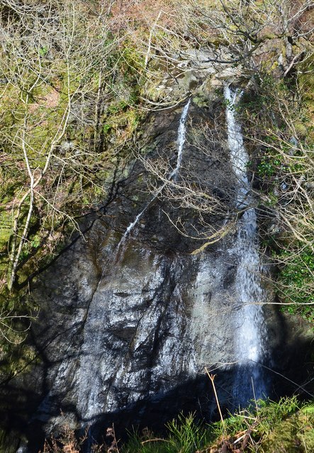
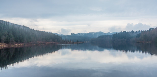
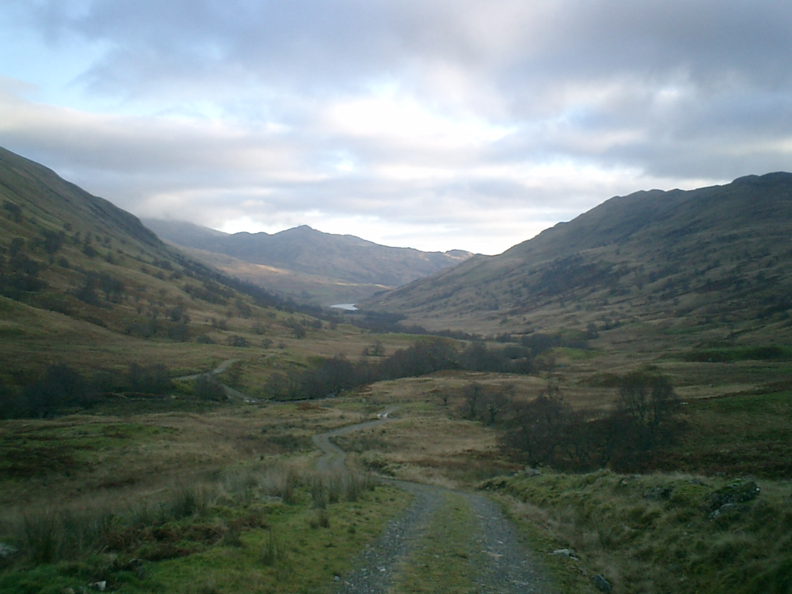
Bad a' Chòis is a picturesque woodland located in Perthshire, Scotland. Situated amidst the scenic beauty of the region, it is a tranquil haven for nature enthusiasts and those seeking solace in the midst of the forest. The name "Bad a' Chòis" translates to "wood of the hollow," aptly describing its hidden and sheltered location.

Covering an area of approximately 200 hectares, Bad a' Chòis is abundant in diverse flora and fauna. The woodland primarily consists of native species such as birch, oak, and pine trees, creating a vibrant and lush environment. The forest floor is adorned with an assortment of wildflowers, adding dashes of color to the landscape.

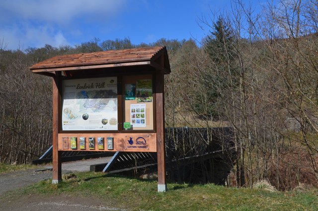
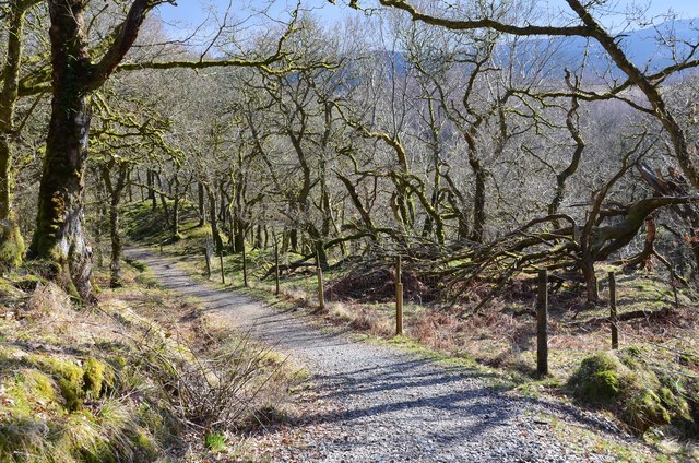
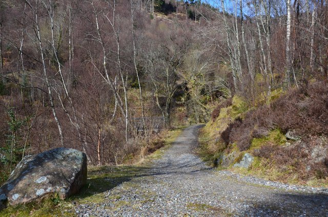
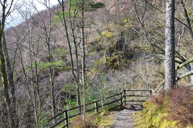
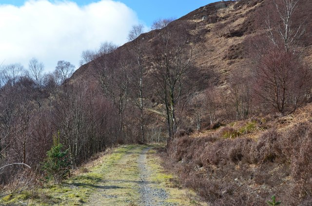
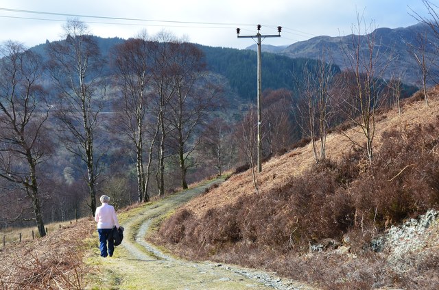
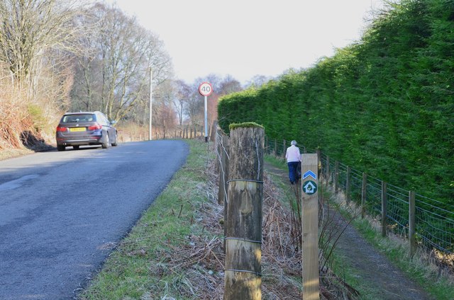
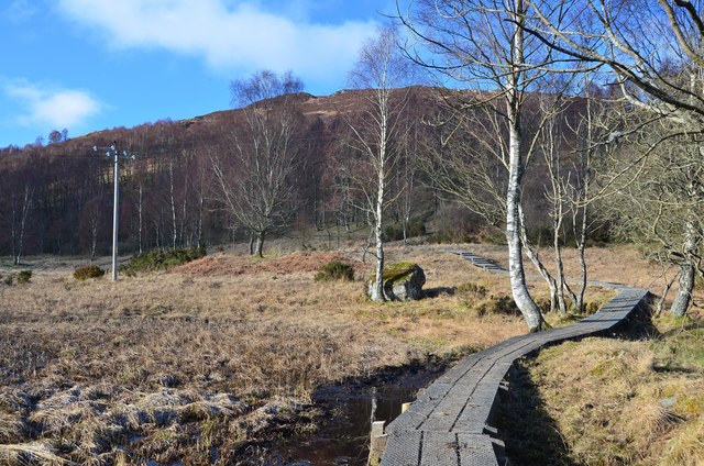
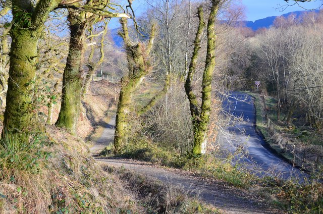
Visitors to Bad a' Chòis can explore the woodland through a network of well-maintained walking trails. These paths wind through the forest, offering glimpses of the enchanting surroundings at every turn. The tranquil atmosphere and the soothing sounds of nature make it an ideal spot for walking, hiking, or simply enjoying a peaceful picnic.

The woodland is also home to a variety of wildlife, including red squirrels, deer, and a plethora of bird species. Birdwatchers can spot species such as woodpeckers, robins, and thrushes, among others. Additionally, the forest is known for its diverse insect population, making it an excellent location for entomology enthusiasts.

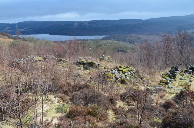
Bad a' Chòis is not only a natural paradise but also holds historical significance. The remnants of ancient settlements and archaeological sites can be found within its boundaries, adding a touch of mystery and intrigue to the area.

Overall, Bad a' Chòis is a captivating woodland where visitors can immerse themselves in the beauty of nature while exploring its rich biodiversity and historical heritage.

If you have any feedback on the listing, please let us know in the comments section below.
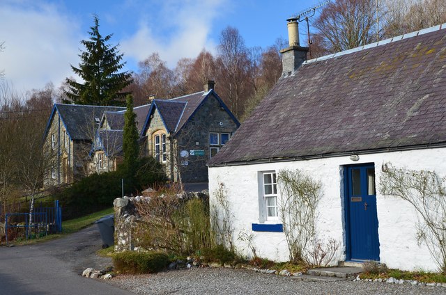
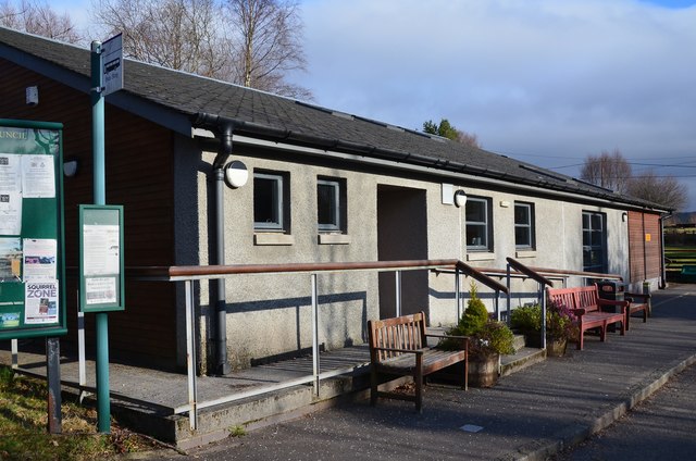
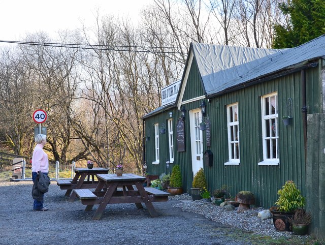
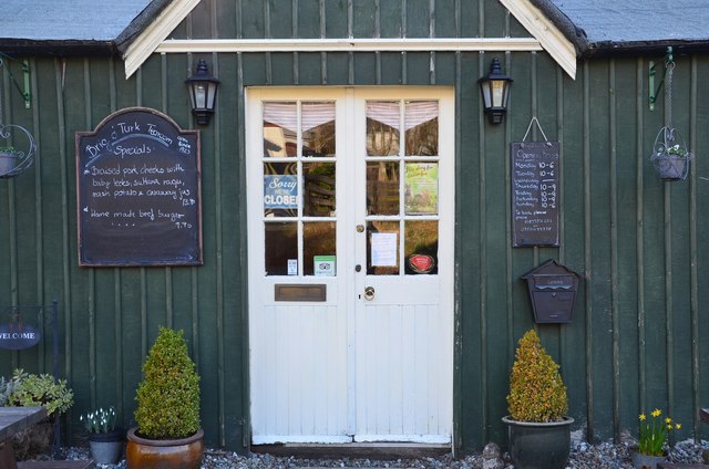
Bad a' Chòis Images

Images are sourced within 2km of 56.225643/-4.3441043 or Grid Reference NN5406. Thanks to Geograph Open Source API. All images are credited.

Information board, Lendrick Hill car park, Trossachs A car park by the A821 E of Brig o' Turk, with a visitor centre. It is the starting point for several walks in or near Glen Finglas.
Information board, Lendrick Hill car park, Trossachs
A car park by the A821 E of Brig o' Turk, with a visitor centre. It is the starting point for several walks in or near Glen Finglas.
Woodland path, Lendrick Hill On the Lendrick Hill and Dam Walk from the nearby car park on a well-maintained and easy path.
Woodland path, Lendrick Hill
On the Lendrick Hill and Dam Walk from the nearby car park on a well-maintained and easy path.
Ruins of Drippan farmstead, Lendrick Hill Ruins on a shelf of level ground now within the woodland on Lendrick Hill. Loch Venachar is in the background.
Ruins of Drippan farmstead, Lendrick Hill
Ruins on a shelf of level ground now within the woodland on Lendrick Hill. Loch Venachar is in the background.
Path above a waterfall, Lendrick Hill The path to Glen Finglas Reservoir contours above a waterfall.
Path above a waterfall, Lendrick Hill
The path to Glen Finglas Reservoir contours above a waterfall.
Waterfall, Lendrick Hill The burn cascades down a rock slab and can be seen from a viewpoint off the main path.
Waterfall, Lendrick Hill
The burn cascades down a rock slab and can be seen from a viewpoint off the main path.
Viewpoint, Lendrick Hill and Dam Walk A viewpoint for the fall shown in <a href="https://www.geograph.org.uk/photo/4872816">NN5407 : Waterfall, Lendrick Hill</a>.
Viewpoint, Lendrick Hill and Dam Walk
A viewpoint for the fall shown in NN5407 : Waterfall, Lendrick Hill.
Lendrick Hill and Dam Walk, Trossachs A fine walk from the car park by the A821, here passing through scattered birch woods on a SW facing hillside.
Lendrick Hill and Dam Walk, Trossachs
A fine walk from the car park by the A821, here passing through scattered birch woods on a SW facing hillside.
Lendrick Hill and Dam Walk, Trossachs This pleasant path contours in to meet the reservoir road in just over 1 km.
Lendrick Hill and Dam Walk, Trossachs
This pleasant path contours in to meet the reservoir road in just over 1 km.
School and cottage, Brig o' Turk A traditional cottage and Victorian-style primary school on the road from Glen Finglas.
School and cottage, Brig o' Turk
A traditional cottage and Victorian-style primary school on the road from Glen Finglas.
Village Hall, Brig o' Turk
Brig o' Turk Tearoom A traditional style tearoom that dates back to 1923. Sadly for us, it was closed, being a Wednesday.
Brig o' Turk Tearoom
A traditional style tearoom that dates back to 1923. Sadly for us, it was closed, being a Wednesday.
Entrance to Brig o' Turk Tearoom A traditional tearoom, open every day except Wednesday.
Entrance to Brig o' Turk Tearoom
A traditional tearoom, open every day except Wednesday.
Roadside path from Brig o' Turk A welcome footpath alternative to the A821 heading E from Brig o' Turk. It connects with the Lendrick Hill car park 1 km east.
Roadside path from Brig o' Turk
A welcome footpath alternative to the A821 heading E from Brig o' Turk. It connects with the Lendrick Hill car park 1 km east.
Boardwalk below Lendrick Hill A path around wetland close to the site of a former curling pond.
Boardwalk below Lendrick Hill
A path around wetland close to the site of a former curling pond.
Footpath and road, Trossachs A path by the A821 from Brig o' Turk to Kilmahog. The path leads to the Lendrick Hill car park.
Footpath and road, Trossachs
A path by the A821 from Brig o' Turk to Kilmahog. The path leads to the Lendrick Hill car park.
Visitor Centre, Lendrick Hill car park The Glen Finglas Visitor Gateway and car park by the A821 near Brig o' Turk, starting point for several walks.
Visitor Centre, Lendrick Hill car park
The Glen Finglas Visitor Gateway and car park by the A821 near Brig o' Turk, starting point for several walks.
Loch Drunkie A view over Loch Drunkie from the dam at the loch's northern end.
Loch Drunkie
A view over Loch Drunkie from the dam at the loch's northern end.
Brig o' Turk Tea Room In the Trossachs.
Brig o' Turk Tea Room
In the Trossachs.
Show me another place!

Bad a' Chòis is located at Grid Ref: NN5406 (Lat: 56.225643, Lng: -4.3441043)

Unitary Authority: Stirling

Police Authority: Forth Valley

What 3 Words

///propose.pushed.wiggling. Near Callander, Stirling

Nearby Locations

Bad a' Chòis

Related Wikis

Glen Finglas

Glen Finglas (Scottish Gaelic: Gleann Fhionnghlais) is a glen in the Trossachs, in the Stirling council area of Scotland. It is an area of forest in Highlands...
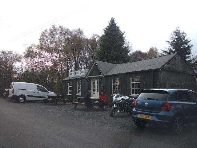
Brig o' Turk

Brig o' Turk (Scottish Gaelic: Àird Cheannchnocain) is a small rural village historically in Perthshire and today within the council area of Stirling,...

Bicycle Tree (Trossachs)

The Bicycle Tree is a veteran tree near Brig o' Turk in the Trossachs, Scotland. Dating from the late 19th century, the tree grew in or near to the scrap...

Craiglich

Craiglich is a hill in western Aberdeenshire, with a height of 476 metres (1562 feet). Its ease of access, Marilyn status and scenic views make it popular...

Nearby Amenities

Located within 500m of 56.225643,-4.3441043
Access: yes
Barrier: kissing_gate
Bicycle: yes
Foot: yes
Lat/Long: 56.229477/-4.346285
Power: pole
Lat/Long: 56.2288966/-4.3437608
Power: pole
Lat/Long: 56.2288361/-4.3429952
Power: pole
Lat/Long: 56.2287675/-4.3416356
Power: pole
Lat/Long: 56.2287128/-4.3406002
Power: pole
Lat/Long: 56.2286442/-4.3396255
Power: pole
Lat/Long: 56.2285814/-4.3386131
Power: pole
Lat/Long: 56.2255012/-4.3391046
Power: pole
Lat/Long: 56.2260338/-4.338019
Power: pole
Lat/Long: 56.2265233/-4.3370338
Power: pole
Lat/Long: 56.2287314/-4.3434533
Power: pole
Lat/Long: 56.2287024/-4.3429701
Power: pole
Lat/Long: 56.2286245/-4.3418427
Power: pole
Lat/Long: 56.2284489/-4.3404245
Power: pole
Lat/Long: 56.2283094/-4.3393744
Power: pole
Lat/Long: 56.2281815/-4.3383788
The data included in this document is from www.openstreetmap.org. The data is made available under ODbL.

Have you been to Bad a' Chòis?

Leave your review of Bad a' Chòis below (or comments, questions and feedback).