Pollokhead Wood

Wood, Forest in Renfrewshire

Scotland

Pollokhead Wood

Carleton Drive, Glasgow
Carleton Drive, Glasgow Credit: Alex McGregor

Pollokhead Wood is a charming forest located in Renfrewshire, Scotland. Spanning over 300 acres, it is a popular destination for nature enthusiasts and outdoor lovers alike. The wood is situated near the village of Neilston, just a short drive from Glasgow.

Pollokhead Wood is characterized by its diverse range of flora and fauna, making it a haven for wildlife. The forest is predominantly made up of native broadleaf trees such as oak, birch, and ash, which provide a lush and vibrant canopy during the warmer months. The forest floor is adorned with an array of wildflowers, including bluebells and primroses, adding to its natural beauty.

The wood boasts a network of well-maintained trails that wind their way through the forest, making it an ideal spot for walking, jogging, and cycling. These paths offer visitors the opportunity to explore the woodland and discover its hidden gems. Additionally, the forest is home to several picturesque ponds and small streams, creating a tranquil ambiance.

Nature enthusiasts will be delighted to know that Pollokhead Wood is also a designated Site of Special Scientific Interest (SSSI). This status recognizes the wood's importance in terms of biodiversity and conservation. As such, it offers unique opportunities for research and educational purposes.

Overall, Pollokhead Wood is a natural treasure in Renfrewshire, providing a peaceful and enchanting escape from the hustle and bustle of everyday life. Whether visitors seek a leisurely stroll or a chance to immerse themselves in nature's wonders, this woodland offers something for everyone.

If you have any feedback on the listing, please let us know in the comments section below.

Pollokhead Wood Images

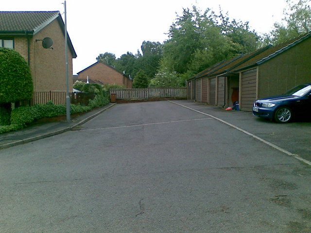
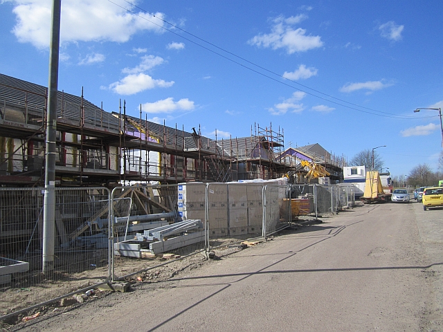
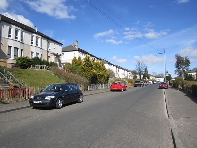
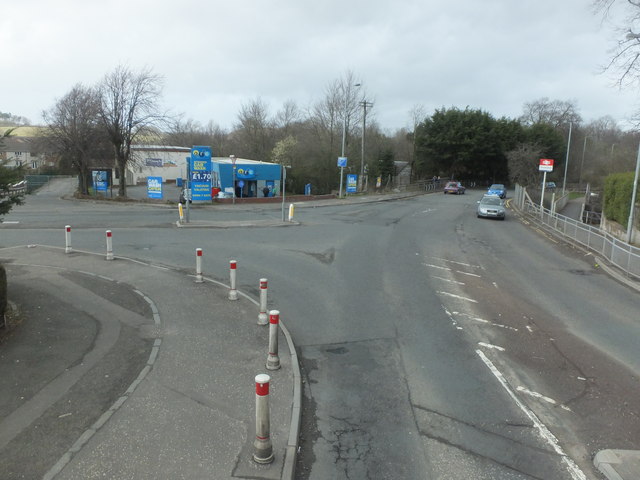
Images are sourced within 2km of 55.817833/-4.3196572 or Grid Reference NS5460. Thanks to Geograph Open Source API. All images are credited.

Carleton Drive, Glasgow
Sainsbury's Car Park
House building, Arden Replacing housing stock in Kilmuir Crescent.
House building, Arden
Replacing housing stock in Kilmuir Crescent.
Kilmartin Place New flats on Kilmuir Crescent, Arden.
Kilmartin Place
New flats on Kilmuir Crescent, Arden.
Park off Kilmuir Crescent Usual urban detritus.
Park off Kilmuir Crescent
Usual urban detritus.
Playground, Arden Arden Primary School in the background.
Playground, Arden
Arden Primary School in the background.
Carnwadric Road
Carnwadric Road
M77 Looking in the direction of Ayrshire along the motorway.
M77
Looking in the direction of Ayrshire along the motorway.
M77 View in the Glasgow centre direction. The road was built against strong protests, especially in the Pollok Park area in 1994.
M77
View in the Glasgow centre direction. The road was built against strong protests, especially in the Pollok Park area in 1994.
Ben Vorlich Drive So which Ben Vorlich was it named after? New houses near the M77 seen from the top of a berm which should cut their noise down a bit.
Ben Vorlich Drive
So which Ben Vorlich was it named after? New houses near the M77 seen from the top of a berm which should cut their noise down a bit.
Rouken Glen Road looking north
Nitshill Road approaching the M77 at Junction 3
The A726 to East Kilbride Just west of the M77 bridge.
The A726 to East Kilbride
Just west of the M77 bridge.
Approaching Thornliebank Station Heading northeasterly on the B769.
Approaching Thornliebank Station
Heading northeasterly on the B769.
KFC on Nitshill Road Kentucky Fried Chicken.
KFC on Nitshill Road
Kentucky Fried Chicken.
McDonald's on Nitshill Road
Nitshill Road, Glasgow
Show me another place!

Pollokhead Wood is located at Grid Ref: NS5460 (Lat: 55.817833, Lng: -4.3196572)

Unitary Authority: City of Glasgow

Police Authority: Greater Glasgow

What 3 Words

///trials.boost.tops. Near Thornliebank, East Renfrewshire

Related Wikis

Kennishead

Kennishead (Scots: Kennisheid, Scottish Gaelic: Ceann Ceanais) is a neighbourhood in the Scottish city of Glasgow. Its territory, south of the River Clyde...

Kennishead railway station

Kennishead railway station is a railway station in Kennishead, a district of Glasgow, Scotland. The station is managed by ScotRail and is on the Glasgow...

Hutchesons' GSFP

Hutchesons' GSFP RFC was an amateur rugby union club in Glasgow, Scotland. The club no longer exists. In 1990, they merged with rivals Old Aloysians RFC...

Hutchesons Aloysians

Hutchesons Aloysians RFC was an amateur rugby union club in Glasgow, Scotland. The club no longer exists. In 2002, they merged with Glasgow Southern to...

Nearby Amenities

Located within 500m of 55.817833,-4.3196572
Bus Stop
Bus: yes
Public Transport: platform
Source: survey; bing
Lat/Long: 55.8222249/-4.3190618
Bus Stop
Kennishead Avenue / No 60
Bus: yes
Naptan AtcoCode: 60902747
Naptan Bearing: SW
Naptan CommonName: 60 Kennishead Avenue
Naptan Indicator: after
Naptan Landmark: No 60
Naptan NaptanCode: 45235657
Naptan Street: Kennishead Avenue
Public Transport: platform
Ref: 60902747
Lat/Long: 55.81421/-4.32148
Bus Stop
Kennishead Avenue / No 70
Bus: yes
Naptan AtcoCode: 60902748
Naptan Bearing: SW
Naptan CommonName: Turning Circle
Naptan Indicator: after
Naptan Landmark: No 70
Naptan NaptanCode: 45239692
Naptan Street: Kennishead Avenue
Public Transport: platform
Ref: 60902748
Lat/Long: 55.81504/-4.31961
Bus Stop
Barrhead Road / Boydstone Road
Naptan AtcoCode: 60902898
Naptan Bearing: W
Naptan CommonName: Cowglen Golf Course
Naptan Indicator: Opp
Naptan Landmark: Boydstone Road
Naptan NaptanCode: 45236468
Naptan Street: Barrhead Road
Ref: 60902898
Lat/Long: 55.82222/-4.31859
Kennishead Flats
Place: neighbourhood
Lat/Long: 55.8138861/-4.32174
Regent's Park
Place: neighbourhood
Lat/Long: 55.8141717/-4.3155236
Bench
Lat/Long: 55.8203765/-4.3250527
Leisure: picnic_table
Lat/Long: 55.8219074/-4.3192085
Leisure: picnic_table
Lat/Long: 55.8219342/-4.3192108
Bench
Lat/Long: 55.8218716/-4.3194314
Man Made: flagpole
Lat/Long: 55.8218505/-4.3191994
Golf: pin
Lat/Long: 55.8211819/-4.3197674
Golf: pin
Lat/Long: 55.8210463/-4.3249762
Golf: pin
Lat/Long: 55.8201422/-4.3166399
Golf: pin
Lat/Long: 55.8202748/-4.3149447
Golf: pin
Lat/Long: 55.8185509/-4.3170798
Golf: pin
Lat/Long: 55.8193918/-4.3212158
Golf: pin
Lat/Long: 55.8196721/-4.3238711
Golf: pin
Lat/Long: 55.8204918/-4.318732
Golf: pin
Lat/Long: 55.8202266/-4.323206
Golf: pin
Lat/Long: 55.8200307/-4.3246812
Golf: pin
Lat/Long: 55.8154466/-4.3258882
Golf: pin
Lat/Long: 55.8176498/-4.3209636
Golf: pin
Lat/Long: 55.8149432/-4.3250406
Golf: pin
Lat/Long: 55.8173544/-4.3264943
Golf: pin
Lat/Long: 55.8196886/-4.3258587
The data included in this document is from www.openstreetmap.org. The data is made available under ODbL.

Have you been to Pollokhead Wood?

Leave your review of Pollokhead Wood below (or comments, questions and feedback).