Backburn Wood
Wood, Forest in Ayrshire
Scotland
Backburn Wood

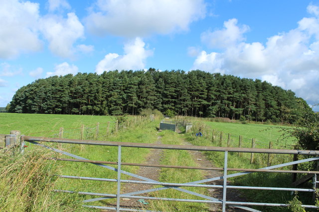
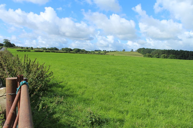
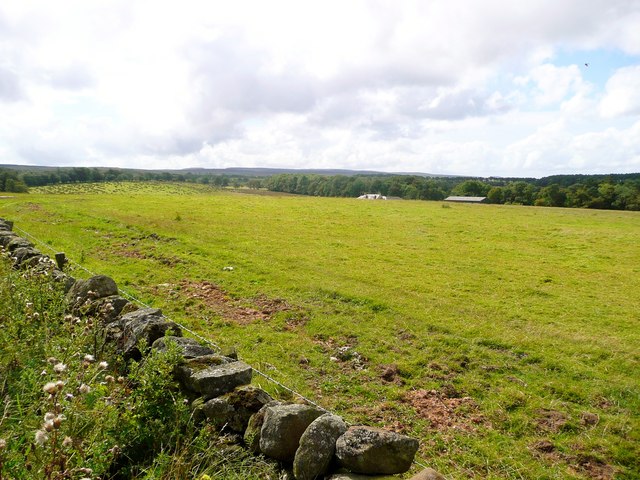
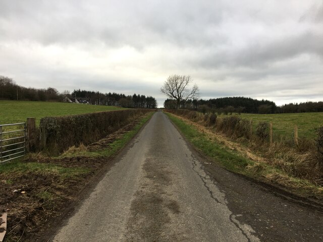
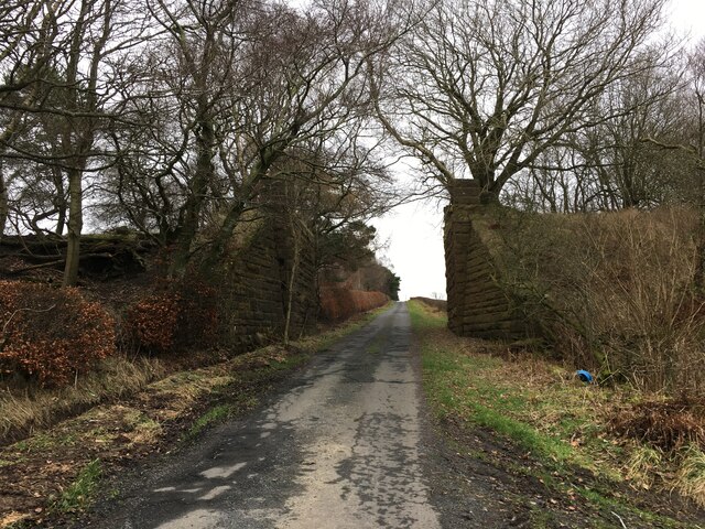
Backburn Wood is a breathtaking woodland area located in Ayrshire, Scotland. Spanning over several acres, this enchanting forest is a haven of natural beauty and tranquility. It is nestled amidst rolling hills and offers visitors a respite from the hustle and bustle of everyday life.
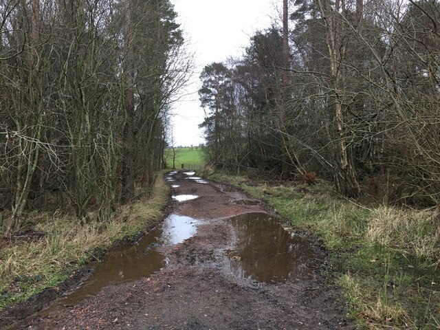
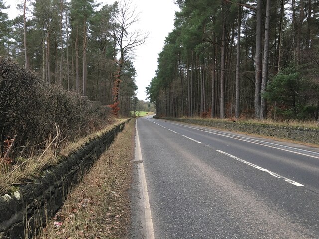
The wood is characterized by a diverse range of tree species, including oak, birch, and pine. The towering trees create a dense canopy, allowing only dappled sunlight to filter through, which adds to the mystical ambiance of the woodland. The forest floor is covered in a lush carpet of moss, ferns, and wildflowers, creating a vibrant and colorful tapestry.
Backburn Wood is a paradise for nature enthusiasts and wildlife lovers. It is home to a variety of animals, including red squirrels, foxes, and numerous bird species. Birdwatchers can spot woodpeckers, owls, and even the elusive golden eagle in this biodiverse habitat.
Several well-maintained walking trails wind through the wood, allowing visitors to explore its hidden treasures. These paths lead to picturesque viewpoints, babbling brooks, and small ponds that reflect the surrounding greenery. The peaceful atmosphere and the soothing sounds of nature make it an ideal location for a leisurely stroll or a picnic.
Backburn Wood is a popular destination for both locals and tourists, who are drawn to its natural charms. Whether one seeks solace in nature or wishes to immerse themselves in the beauty of the Scottish countryside, this woodland gem offers an unforgettable experience for all who venture within its borders.
If you have any feedback on the listing, please let us know in the comments section below.
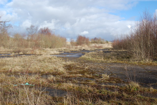
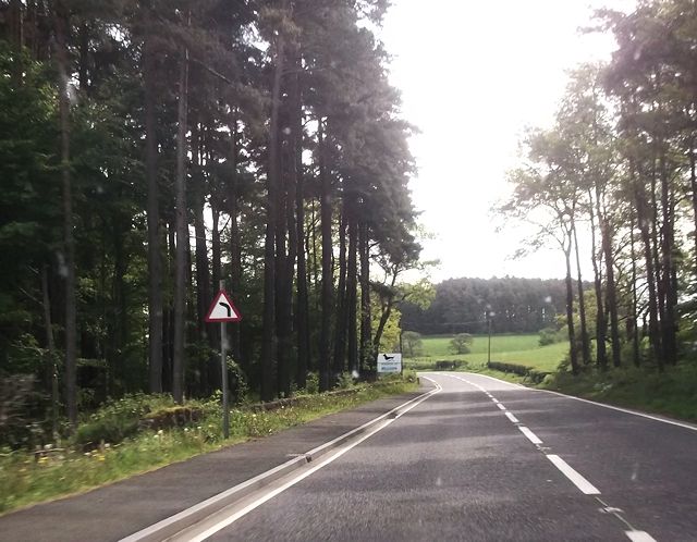
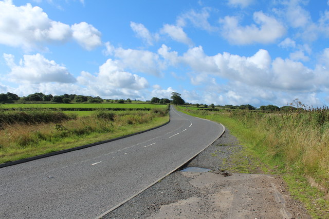
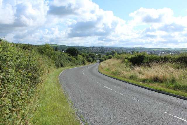
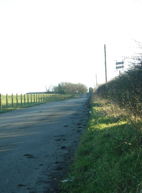
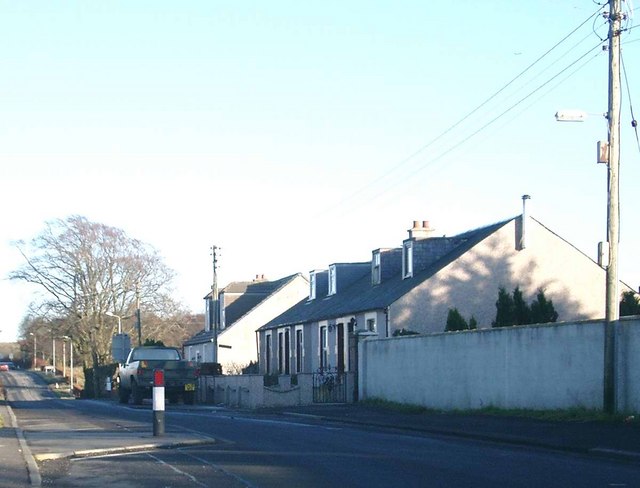
Backburn Wood Images
Images are sourced within 2km of 55.447763/-4.3131439 or Grid Reference NS5319. Thanks to Geograph Open Source API. All images are credited.


Backburn Wood is located at Grid Ref: NS5319 (Lat: 55.447763, Lng: -4.3131439)
Unitary Authority: East Ayrshire
Police Authority: Ayrshire
What 3 Words
///gaps.replying.doors. Near Auchinleck, East Ayrshire
Nearby Locations
Related Wikis

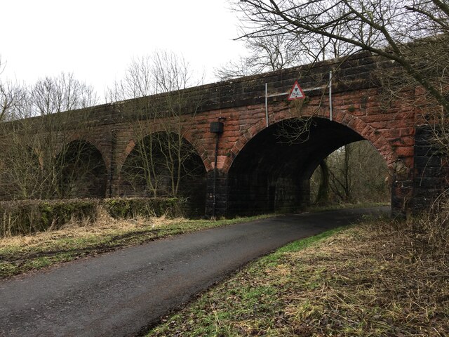
Dumfries House railway station
Dumfries House railway station was a railway station near Dumfries House, East Ayrshire, Scotland. The station was originally part of the Annbank to Cronberry...

Dumfries House
Dumfries House is a Palladian country house in Ayrshire, Scotland. It is located within a large estate, around two miles (3 km) west of Cumnock. Noted...

Skares railway station
Skares railway station was a railway station serving the former mining village of Skares, East Ayrshire, Scotland. The station was originally part of the...
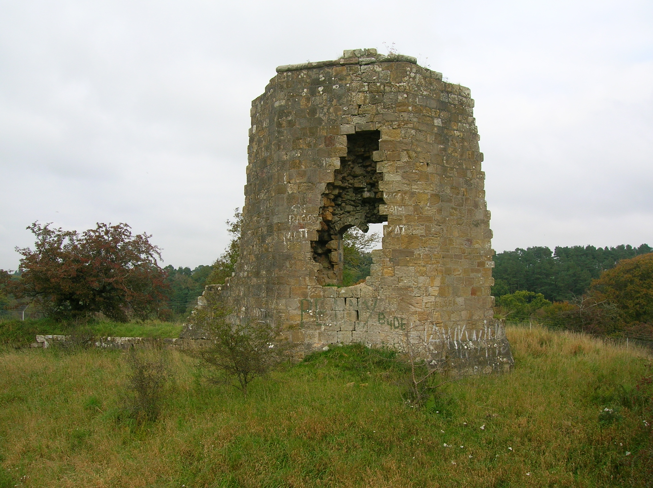
Terringzean Castle, East Ayrshire
Terringzean Castle, also Taringzean, pronounced 'Tringan', is a Category B listed castle ruin lying above the River Lugar and the Terringzean Holm in the...
Skares
Skares is a village in East Ayrshire, Scotland. Skares is located some 3 miles (5 km) southwest of Cumnock. It used to have a football team called Skares...

East Ayrshire Community Hospital
East Ayrshire Community Hospital is a community hospital located in Ayr Road, Cumnock, Scotland. It is managed by NHS Ayrshire and Arran. == History... ==
Knockroon
Knockroon is a planned development located between the towns of Cumnock and Auchinleck in East Ayrshire, Scotland. The development was initiated by Prince...
Cumnock Academy
Cumnock Academy was a secondary school in Cumnock, East Ayrshire, Scotland.Notable former pupils include Iona McDonald, Lord Lieutenant of Ayrshire and...
Nearby Amenities
Located within 500m of 55.447763,-4.3131439Have you been to Backburn Wood?
Leave your review of Backburn Wood below (or comments, questions and feedback).