Beech Wood

Wood, Forest in Ayrshire

Scotland

Beech Wood

Dumfries House station (site/remains) View southward, across course of the ex-G&SWR Ayr - Drongan - Cumnock - Muirkirk line. The station had been closed right back on 13/9/49 and the line between Drongan (to left) and Cronberry (to right) since 10/9/51. (I had to drive down at least half a mile of rough track to get here off the A70).
Dumfries House station (site/remains) Credit: Ben Brooksbank

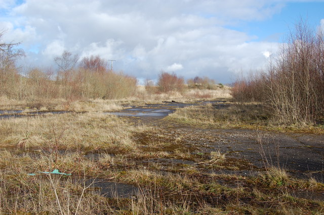
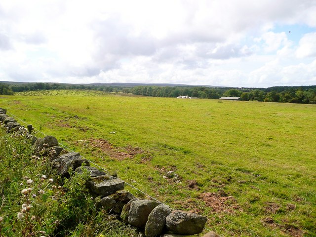
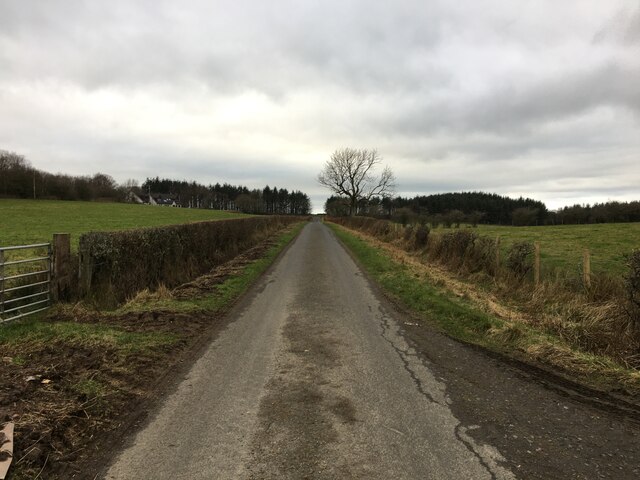
Beech Wood, located in Ayrshire, Scotland, is a picturesque forest renowned for its abundance of beech trees. Covering an area of approximately 100 hectares, this woodland is a popular destination for nature enthusiasts and hikers alike.

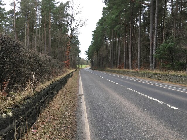
The dominant species in Beech Wood is the European beech (Fagus sylvatica), which creates a dense canopy that provides a cool and shaded environment for visitors. The trees can grow up to 30 meters in height and have a distinct smooth, grey bark. During autumn, the leaves of the beech trees turn a stunning golden color, creating a breathtaking spectacle for visitors.

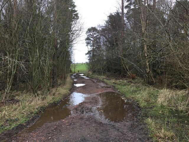
The forest floor of Beech Wood is covered in a diverse array of vegetation, including ferns, mosses, and wildflowers. This undergrowth provides a habitat for a wide range of wildlife, such as birds, squirrels, and small mammals. The wood is also home to a rich variety of fungi, adding to its ecological significance.

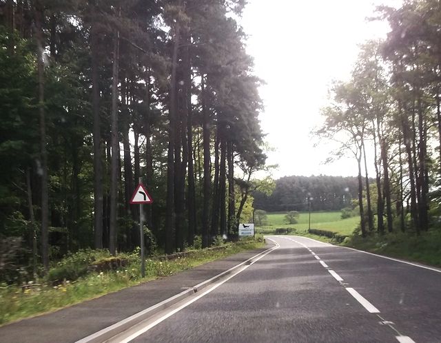
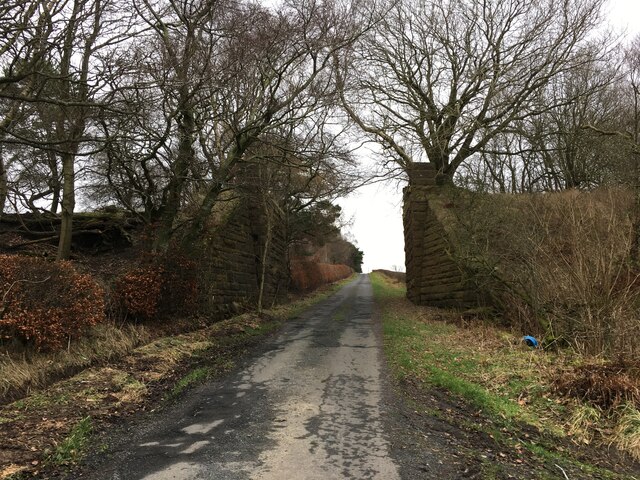
Trails and paths wind their way through Beech Wood, allowing visitors to explore the forest and enjoy its natural beauty. The wood is well-maintained, with designated picnic areas and benches for visitors to relax and take in the surroundings. The peaceful atmosphere of the forest makes it an ideal spot for those seeking tranquility and a break from the bustle of everyday life.

Beech Wood, Ayrshire, is not only a local treasure but also an important ecological site. Its well-preserved beech trees, diverse undergrowth, and abundant wildlife make it a must-visit destination for nature lovers and outdoor enthusiasts in the region.

If you have any feedback on the listing, please let us know in the comments section below.
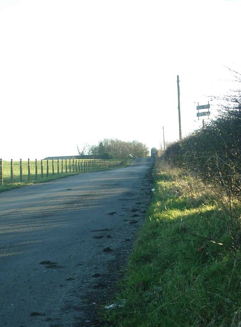
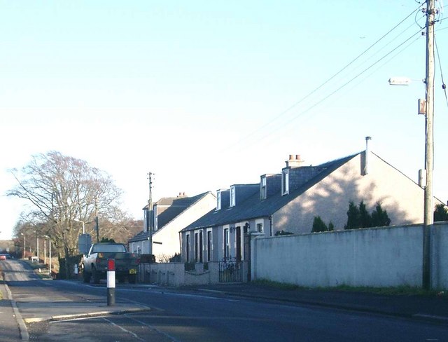
Beech Wood Images

Images are sourced within 2km of 55.450311/-4.3157443 or Grid Reference NS5319. Thanks to Geograph Open Source API. All images are credited.

Dumfries House station (site/remains) View southward, across course of the ex-G&SWR Ayr - Drongan - Cumnock - Muirkirk line. The station had been closed right back on 13/9/49 and the line between Drongan (to left) and Cronberry (to right) since 10/9/51. (I had to drive down at least half a mile of rough track to get here off the A70).
Dumfries House station (site/remains)
View southward, across course of the ex-G&SWR Ayr - Drongan - Cumnock - Muirkirk line. The station had been closed right back on 13/9/49 and the line between Drongan (to left) and Cronberry (to right) since 10/9/51. (I had to drive down at least half a mile of rough track to get here off the A70).
Derelict ground Former site of Whitehill brick works
Derelict ground
Former site of Whitehill brick works
Bend on A70 west of Dettingen roundabout
Field by Orchardton The farm buildings themselves can just be seen on the extreme right of the image.
Field by Orchardton
The farm buildings themselves can just be seen on the extreme right of the image.
The roofs of Crosshill Over the fields, the roofs just appear over the rise.
The roofs of Crosshill
Over the fields, the roofs just appear over the rise.
Farm track through a strip of woodland
Minor road near Skares
Minor road under disused railway viaduct
Minor road passing a dismantled railway bridge near Skares
B7046 Skares Road
B7046 Skares Road
Broad Wood near Dumfries House
A70 west of Cumnock
A70 west of Cumnock
Changue Farm roadend
Bridge over the Rose Burn
Private road to Woodhead Cottage
Knockterra farm roadend
Crosshill Now a quiet country spot, it must have been much busier when the Whitehill Colliery was just across the road.  The colliery closed in 1965.
Crosshill
Now a quiet country spot, it must have been much busier when the Whitehill Colliery was just across the road. The colliery closed in 1965.
Whitehill Colliery Woodland This redeveloped woodland area occupies the site of the former Whitehill Colliery.  The deep mine colliery of Whitehill 1 and 2 was operational from about 1893 until 1965.  At nationalisation in 1947 it employed 394 men and had an annual output of 104,000 tonnes.
Whitehill Colliery Woodland
This redeveloped woodland area occupies the site of the former Whitehill Colliery. The deep mine colliery of Whitehill 1 and 2 was operational from about 1893 until 1965. At nationalisation in 1947 it employed 394 men and had an annual output of 104,000 tonnes.
Show me another place!

Beech Wood is located at Grid Ref: NS5319 (Lat: 55.450311, Lng: -4.3157443)

Unitary Authority: East Ayrshire

Police Authority: Ayrshire

What 3 Words

///solutions.above.ears. Near Auchinleck, East Ayrshire

Related Wikis

Dumfries House railway station

Dumfries House railway station was a railway station near Dumfries House, East Ayrshire, Scotland. The station was originally part of the Annbank to Cronberry...

Dumfries House

Dumfries House is a Palladian country house in Ayrshire, Scotland. It is located within a large estate, around two miles (3 km) west of Cumnock. Noted...

Skares railway station

Skares railway station was a railway station serving the former mining village of Skares, East Ayrshire, Scotland. The station was originally part of the...

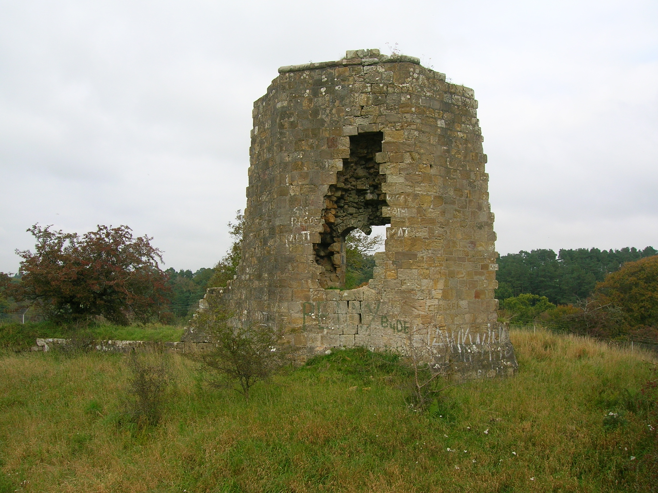
Terringzean Castle, East Ayrshire

Terringzean Castle, also Taringzean, pronounced 'Tringan', is a Category B listed castle ruin lying above the River Lugar and the Terringzean Holm in the...
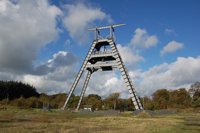
Barony A Frame

The Barony A Frame is a preserved headgear in East Ayrshire, Scotland, located 2 kilometres (1.2 mi) west of Auchinleck. One hundred and eighty feet high...

Knockroon

Knockroon is a planned development located between the towns of Cumnock and Auchinleck in East Ayrshire, Scotland. The development was initiated by Prince...

Skares

Skares is a village in East Ayrshire, Scotland. Skares is located some 3 miles (5 km) southwest of Cumnock. It used to have a football team called Skares...

Auchinleck railway station

Auchinleck railway station is a railway station in the village of Auchinleck, East Ayrshire, Scotland. The station is managed by ScotRail and is on the...

Nearby Amenities

Located within 500m of 55.450311,-4.3157443
Power: pole
Lat/Long: 55.4531102/-4.3217641
Power: pole
Lat/Long: 55.4523112/-4.3204772
Power: pole
Lat/Long: 55.4478371/-4.320733
Power: pole
Lat/Long: 55.4470331/-4.3207598
Power: pole
Lat/Long: 55.4486302/-4.3206996
Power: pole
Lat/Long: 55.4494269/-4.3206815
Power: pole
Lat/Long: 55.4502363/-4.3206408
Power: pole
Lat/Long: 55.4510625/-4.3206092
Power: pole
Lat/Long: 55.4516038/-4.3211475
Power: pole
Lat/Long: 55.4510747/-4.3204474
Power: pole
Lat/Long: 55.4511837/-4.3193707
Power: pole
Lat/Long: 55.4512992/-4.3182917
Power: pole
Lat/Long: 55.4514185/-4.317206
Power: pole
Lat/Long: 55.4515403/-4.3161066
Power: pole
Lat/Long: 55.4517841/-4.3152674
Power: pole
Lat/Long: 55.4518148/-4.3144689
Power: pole
Lat/Long: 55.4518508/-4.3136501
Power: pole
Lat/Long: 55.4518892/-4.3127928
Power: pole
Lat/Long: 55.4519739/-4.310386
The data included in this document is from www.openstreetmap.org. The data is made available under ODbL.

Have you been to Beech Wood?

Leave your review of Beech Wood below (or comments, questions and feedback).