Black Hill Wood

Wood, Forest in Stirlingshire

Scotland

Black Hill Wood

River Endrick A walk along the Endrick on a Sunday Afternoon
River Endrick Credit: richard newall

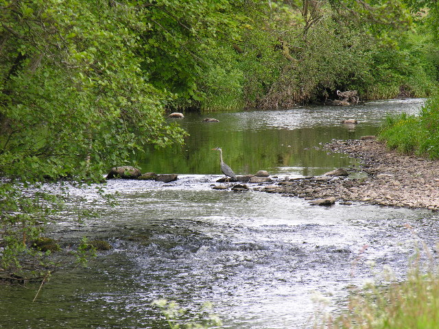
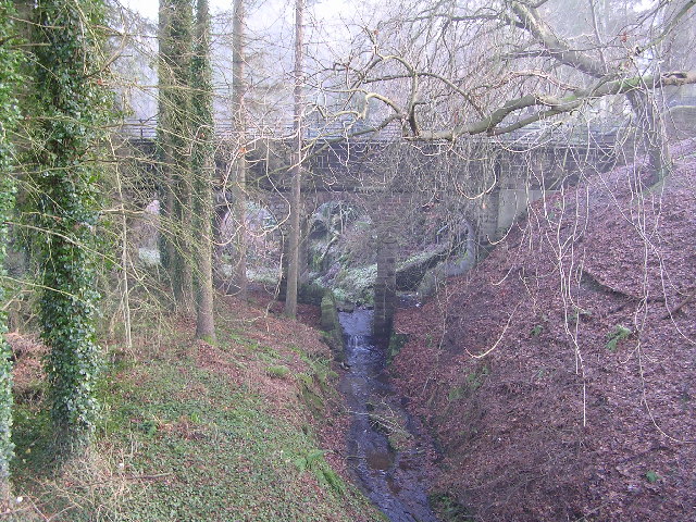
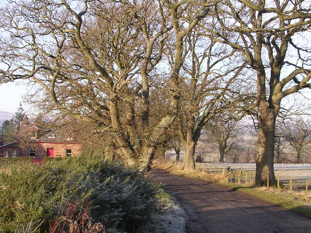
Black Hill Wood is a picturesque forest located in Stirlingshire, Scotland. Covering an area of approximately 500 acres, it is known for its natural beauty, diverse wildlife, and tranquil atmosphere. The wood is situated on the southern slopes of Black Hill, offering stunning views of the surrounding countryside.

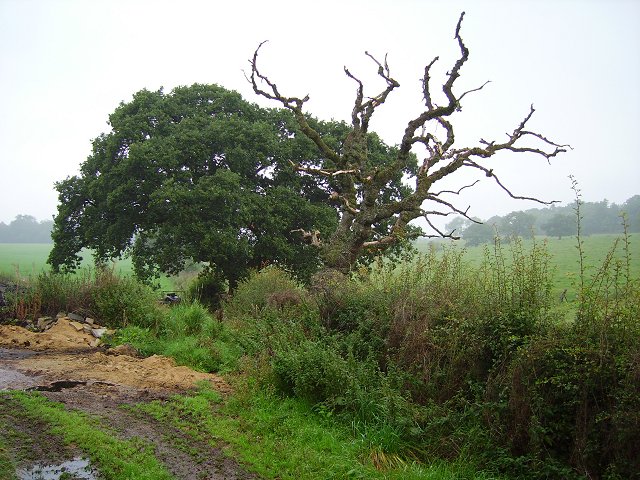
The woodland is predominantly made up of coniferous trees, including Scots pine, spruce, and fir. These tall, majestic trees create a dense canopy, providing shelter for a variety of woodland creatures. Black Hill Wood is home to a wide range of wildlife, including red squirrels, deer, foxes, and a variety of bird species. Visitors often enjoy birdwatching and may catch a glimpse of birds such as buzzards, owls, and woodpeckers.

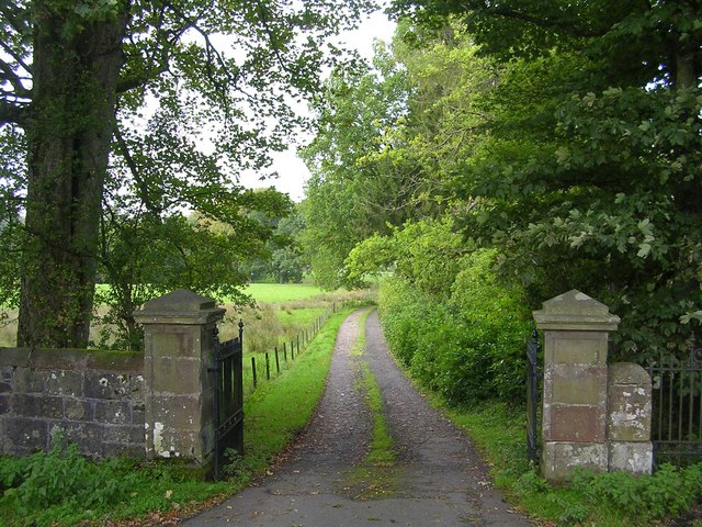
The forest is crisscrossed by a network of well-maintained paths, allowing visitors to explore the wood at their leisure. These paths provide access to various parts of the woodland, offering different experiences, from peaceful walks to more challenging hikes. There are also designated picnic areas where visitors can relax and take in the surroundings.

Black Hill Wood is a popular destination for nature enthusiasts, hikers, and families looking to escape the hustle and bustle of city life. It offers a peaceful retreat and an opportunity to connect with nature. Whether it's a leisurely stroll, a picnic with loved ones, or a chance to spot wildlife, this enchanting forest has something for everyone.

If you have any feedback on the listing, please let us know in the comments section below.

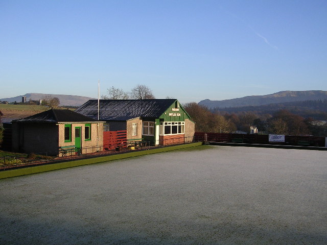
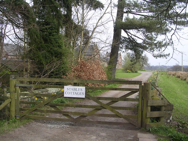
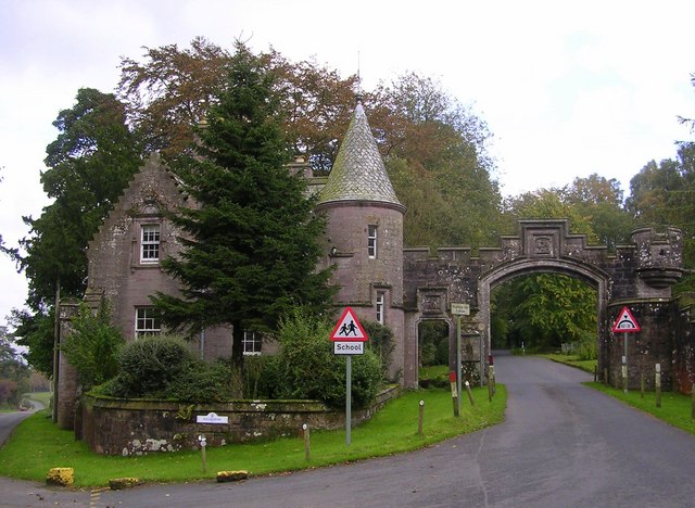
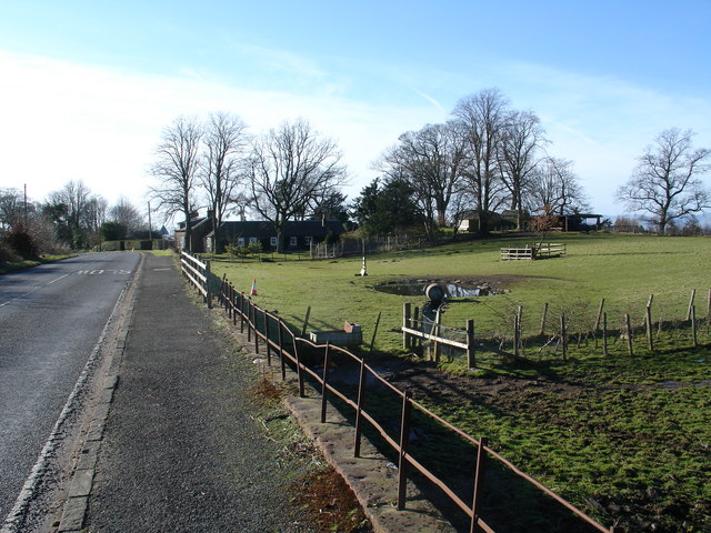
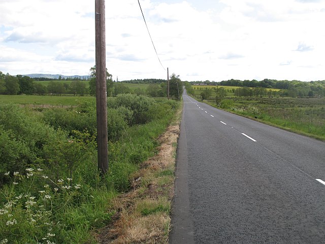
Black Hill Wood Images

Images are sourced within 2km of 56.05343/-4.3552918 or Grid Reference NS5387. Thanks to Geograph Open Source API. All images are credited.

River Endrick A walk along the Endrick on a Sunday Afternoon
River Endrick
A walk along the Endrick on a Sunday Afternoon
Killearn church This church was built in 1882.
Killearn church
This church was built in 1882.
Killearn Churches on Remembrance Sunday
Killearn Cemetery and The Firs
Aqueduct across Kirkhouse Burn, Killearn This is carrying the water pipes from Loch Katrine to Glasgow
Aqueduct across Kirkhouse Burn, Killearn
This is carrying the water pipes from Loch Katrine to Glasgow
Home Farm Cottage, near Boquhan
Ballochruin Farm plus Llama
Balfron Bowling Club
Footbridge across the Endrick Water A very secluded stretch of river
Footbridge across the Endrick Water
A very secluded stretch of river
Gateway to Carbeth House Private Grounds I didn't feel comfortable to walk through the grounds of Carbeth House, so this was my point of closest approach.
Gateway to Carbeth House Private Grounds
I didn't feel comfortable to walk through the grounds of Carbeth House, so this was my point of closest approach.
Dead oak, Balfron Dead tree by a cut off road loop between Balfron and Balfron Station, Stirlingshire.
Dead oak, Balfron
Dead tree by a cut off road loop between Balfron and Balfron Station, Stirlingshire.
Driveway to Boquhan Old House
Entrance to Ballikinrain Castle School
Heron's Court
Heron's Court
Katrine Aqueduct at Killearn These four nondescript trapdoors near the main road contain a secret, one that doesn't even appear on the OS map. These service hatches provide access to the underground aqueduct that provides Glasgow's water supply - from Loch Katrine, to Milngavie Water Works. The aqueduct was opened by Queen Victoria at the turn of the century, and was a major engineering feat with most of the work (and route) being invisible (unless you knew where to look).  The next access to the aqueduct southwards is within the village of Blanefield.
Katrine Aqueduct at Killearn
These four nondescript trapdoors near the main road contain a secret, one that doesn't even appear on the OS map. These service hatches provide access to the underground aqueduct that provides Glasgow's water supply - from Loch Katrine, to Milngavie Water Works. The aqueduct was opened by Queen Victoria at the turn of the century, and was a major engineering feat with most of the work (and route) being invisible (unless you knew where to look). The next access to the aqueduct southwards is within the village of Blanefield.
Auchenibert Lane Looking northwest
Auchenibert Lane
Looking northwest
Parish Church The Church and Obelisk at Killearn on the main road through the town.
Parish Church
The Church and Obelisk at Killearn on the main road through the town.
Killearn An image of the main street Killearn on a winter's day.
Killearn
An image of the main street Killearn on a winter's day.
Show me another place!

Black Hill Wood is located at Grid Ref: NS5387 (Lat: 56.05343, Lng: -4.3552918)

Unitary Authority: Stirling

Police Authority: Forth Valley

What 3 Words

///carbonate.richer.creatures. Near Killearn, Stirling

Related Wikis

Boquhan

Boquhan (pronounced Bowhan) is a hamlet in Stirling, Scotland, sometimes known as Wester Boquhan to distinguish it from the other nearby Boquhan, near...

Killearn

Killearn (Scottish Gaelic: Cill Fhearann, from orig. Ceann Fhearann, "Head/End of (the) Land/Territory" – until the 15th century when Ceann was replaced...

Balfron

Balfron (Scottish Gaelic: Both Fron) is a village in the Stirling council area of Scotland. It is situated near Endrick Water on the A875 road, 18 miles...

Balfron railway station

Balfron railway station was a railway station that served the village of Balfron in Scotland. The station was served by trains on the Strathendrick and...

A81 road

The A81 road is a major road in Scotland. It runs from Glasgow to Callander via Woodside and Maryhill within the city, as well as Bearsden, Milngavie and...

Balfron High School

Balfron High School is a secondary school situated in the village of Balfron, approximately 18 miles (29 km) west of Stirling and 16 miles (26 km) north...

Ballikinrain

Ballikinrain is an independent residential school in Stirling, central Scotland. It is run by CrossReach, a social care outreach arm of the Church of Scotland...

Killearn railway station

Killearn railway station served the village of Killearn, Stirling, Scotland from 1882 to 1951 on the Blane Valley Railway. == History == The station opened...

Nearby Amenities

Located within 500m of 56.05343,-4.3552918
Boqhuan
Place: hamlet
Lat/Long: 56.0574215/-4.3542742
Power: pole
Lat/Long: 56.054055/-4.3481483
Power: pole
Lat/Long: 56.0546612/-4.3480771
Power: pole
Lat/Long: 56.0535831/-4.3564786
Power: pole
Lat/Long: 56.0543447/-4.3562046
Power: pole
Lat/Long: 56.0551343/-4.3559097
Power: pole
Lat/Long: 56.0558853/-4.3556064
Power: pole
Lat/Long: 56.0560173/-4.3566627
Power: pole
Lat/Long: 56.0561855/-4.3579407
Power: pole
Lat/Long: 56.0563525/-4.3592355
Power: pole
Lat/Long: 56.0563034/-4.3599676
Power: pole
Lat/Long: 56.0562462/-4.3608043
Power: pole
Lat/Long: 56.0561107/-4.3610532
Power: pole
Lat/Long: 56.0510606/-4.3597377
Power: pole
Lat/Long: 56.0508289/-4.3592139
Power: pole
Lat/Long: 56.050596/-4.3586523
Power: pole
Lat/Long: 56.0502742/-4.3578393
Power: pole
Lat/Long: 56.0529598/-4.3553395
Power: pole
Lat/Long: 56.0524449/-4.3555637
Power: pole
Lat/Long: 56.0518797/-4.3558067
Power: pole
Lat/Long: 56.051098/-4.3567706
Power: pole
Lat/Long: 56.0495861/-4.3587026
Power: pole
Lat/Long: 56.0527491/-4.354583
Power: pole
Lat/Long: 56.0530452/-4.3536464
Power: pole
Lat/Long: 56.0533494/-4.3527118
Power: pole
Lat/Long: 56.053615/-4.3513498
Power: pole
Lat/Long: 56.0538572/-4.3500444
Power: pole
Lat/Long: 56.0540304/-4.3490616
The data included in this document is from www.openstreetmap.org. The data is made available under ODbL.

Have you been to Black Hill Wood?

Leave your review of Black Hill Wood below (or comments, questions and feedback).