Ward Wood

Wood, Forest in Stirlingshire

Scotland

Ward Wood

Crossroads, Ward Toll
Crossroads, Ward Toll Credit: Euan Nelson

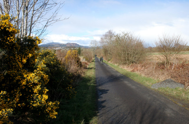
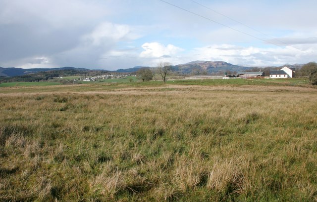
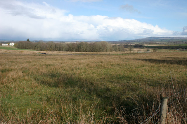
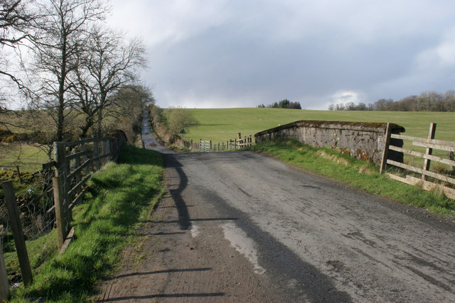
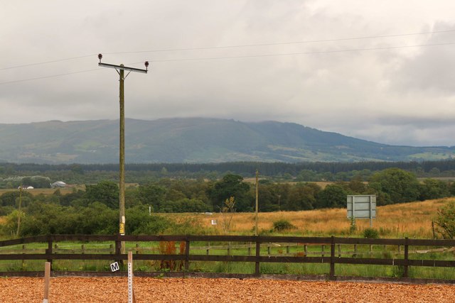
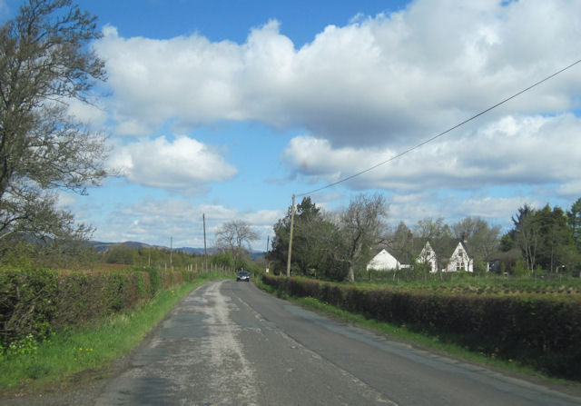
Ward Wood is a picturesque forest located in Stirlingshire, Scotland. Situated near the village of Doune, the woodland covers an area of approximately 600 acres. It is a popular destination for nature lovers, hikers, and outdoor enthusiasts.

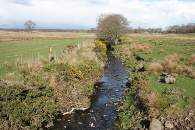
Ward Wood boasts a diverse range of flora and fauna, making it an important ecological site. The forest is predominantly composed of native species such as oak, birch, and Scots pine, which provide a natural habitat for various wildlife including red squirrels, roe deer, and a variety of bird species. The forest floor is adorned with carpet-like mosses and ferns, adding to the enchanting atmosphere.

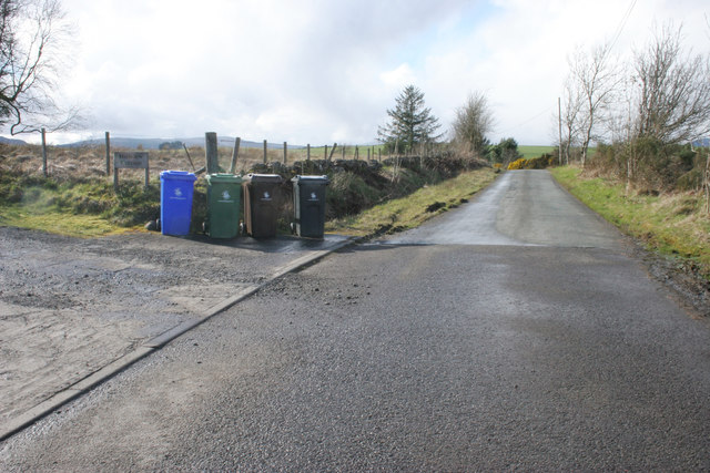
The woodland is crisscrossed with a network of well-maintained trails, making it an ideal location for walking and cycling. Visitors can explore the forest at their own pace, immersing themselves in the tranquil surroundings and enjoying the fresh air. Along the trails, there are numerous picnic spots and viewpoints where visitors can take in the breathtaking scenery.

Ward Wood is also known for its historical significance. The remnants of an ancient fort, believed to have been built in the Iron Age, can be found within the forest. This archaeological site is a fascinating glimpse into the region's past and offers a unique perspective on its rich cultural heritage.

Overall, Ward Wood is a haven of natural beauty, offering a peaceful escape from the bustle of daily life. Whether it is for a leisurely stroll, a family picnic, or a chance to connect with nature, this forest in Stirlingshire provides a memorable and enchanting experience for all who visit.

If you have any feedback on the listing, please let us know in the comments section below.
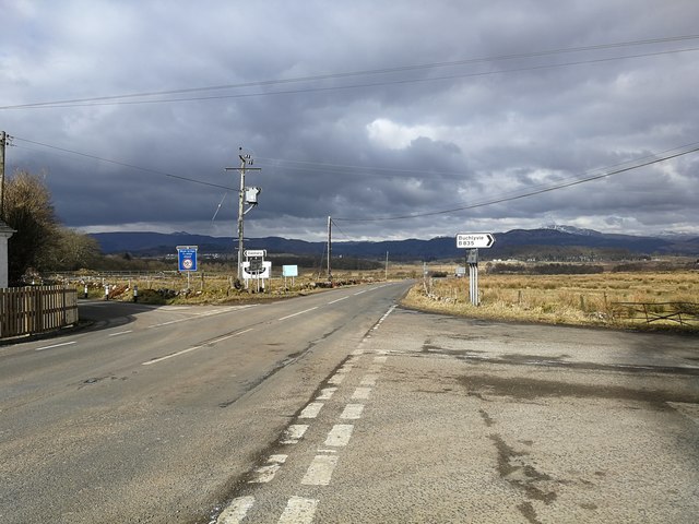
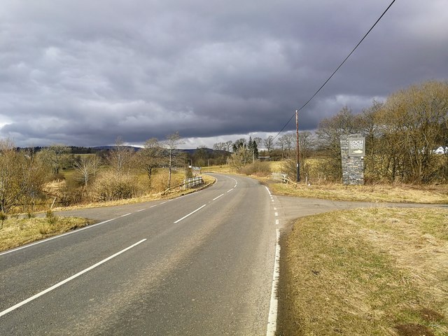
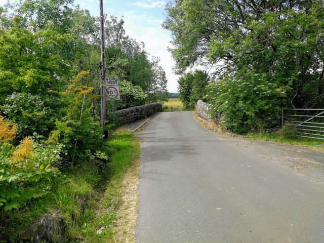
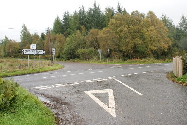
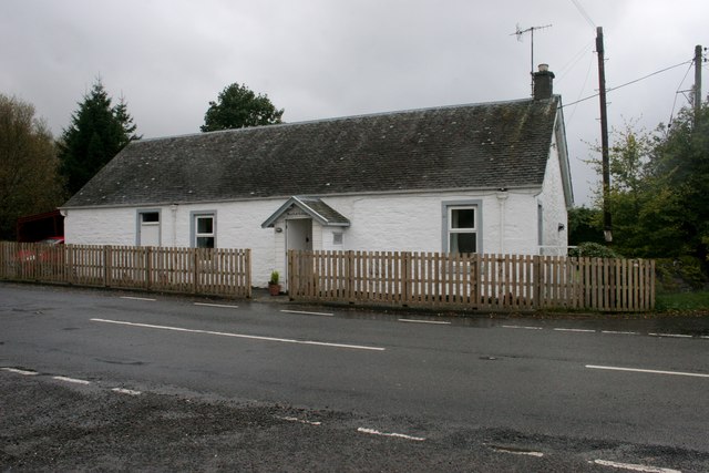
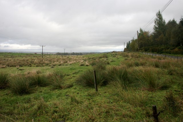
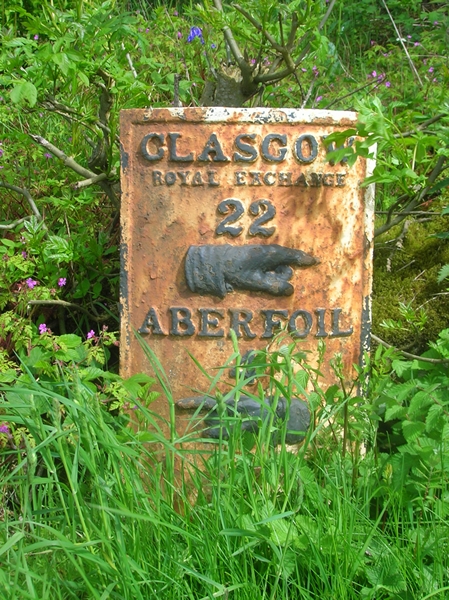
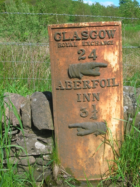
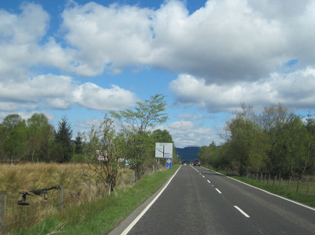
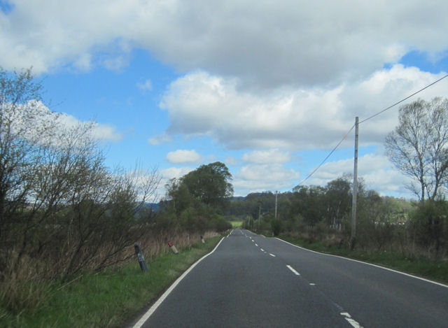
Ward Wood Images

Images are sourced within 2km of 56.123032/-4.3664159 or Grid Reference NS5294. Thanks to Geograph Open Source API. All images are credited.

Crossroads, Ward Toll
Boundary, Loch Lomond and Trossachs National Park Loch Lomond and Trossachs National Park has a boundary length of 220 miles and covers an area of 720 square miles.  The boundary here is formed by the Kelty Water.
Boundary, Loch Lomond and Trossachs National Park
Loch Lomond and Trossachs National Park has a boundary length of 220 miles and covers an area of 720 square miles. The boundary here is formed by the Kelty Water.
Bridge over the Kelty Water
Ward Toll Ward Toll Wood beside the crossroads of the A81, B835 and un-named minor road.
Ward Toll
Ward Toll Wood beside the crossroads of the A81, B835 and un-named minor road.
Ward Toll Cottage Beside the A81 at Ward Toll. Marked on old maps as a smithy.
Ward Toll Cottage
Beside the A81 at Ward Toll. Marked on old maps as a smithy.
View from Ward Toll Looking east. The B835 and Ward Toll Wood are on the right.
View from Ward Toll
Looking east. The B835 and Ward Toll Wood are on the right.
Old Milepost by the A81, Gartachoil, Drymen Parish Glasgow curved by the A81, in parish of Drymen (Stirling District), North of Gartachoil, on grass verge, East side of road.

Inscription reads:-
GLASGOW
ROYAL EXCHANGE
22
{pointing hand}
ABERFOIL
4
{pointing hand} 

Grade C(S) listed. Reference: LB49003
<span class="nowrap"><a title="http://portal.historicenvironment.scot/designation/LB49003" rel="nofollow ugc noopener" href="http://portal.historicenvironment.scot/designation/LB49003">Link</a><img style="margin-left:2px;" alt="External link" title="External link - shift click to open in new window" src="https://s1.geograph.org.uk/img/external.png" width="10" height="10"/></span>

Surveyed

Milestone Society National ID: ST_GWAF22
Old Milepost by the A81, Gartachoil, Drymen Parish
Glasgow curved by the A81, in parish of Drymen (Stirling District), North of Gartachoil, on grass verge, East side of road. Inscription reads:- GLASGOW ROYAL EXCHANGE 22 {pointing hand} ABERFOIL 4 {pointing hand} Grade C(S) listed. Reference: LB49003 LinkExternal link Surveyed Milestone Society National ID: ST_GWAF22
Old Milepost by the A81, east of Gartmore, Port of Menteith parish Glasgow curved by the A81, in parish of Port of Menteith (Stirling District), Baad near Gartmore junction, on narrow verge.

Inscription reads:-
GLASGOW
ROYAL EXCHANGE
24
{hand->}
ABERFOIL
INN
3¼
{<-hand}

Surveyed

Milestone Society National ID: ST_GWAF24
Old Milepost by the A81, east of Gartmore, Port of Menteith parish
Glasgow curved by the A81, in parish of Port of Menteith (Stirling District), Baad near Gartmore junction, on narrow verge. Inscription reads:- GLASGOW ROYAL EXCHANGE 24 {hand->} ABERFOIL INN 3¼ {<-hand} Surveyed Milestone Society National ID: ST_GWAF24
Cyclist approaching A nice quiet road and a pleasant afternoon for cycling. Gorse is in flower.
Cyclist approaching
A nice quiet road and a pleasant afternoon for cycling. Gorse is in flower.
Road beside Hillview Cottage
Grassland beside road to Gartmore Gartmore is in the distance. The house on the right is Olafsberg.
Grassland beside road to Gartmore
Gartmore is in the distance. The house on the right is Olafsberg.
Woodland beside East Gartfarran
Bridge over the Ward Burn
The Ward Burn The burn joins the Kelty Burn and which then flows into the River Forth.
The Ward Burn
The burn joins the Kelty Burn and which then flows into the River Forth.
Fields near Benview
Fields near Benview
Gartachoil on A81 north
Approaching junction at Ward Toll A81 north
Approaching junction at Ward Toll
A81 north
A81 straight near Peel of Gartfarran Looking north the road crosses an area of marshy ground here
A81 straight near Peel of Gartfarran
Looking north the road crosses an area of marshy ground here
Show me another place!

Ward Wood is located at Grid Ref: NS5294 (Lat: 56.123032, Lng: -4.3664159)

Unitary Authority: Stirling

Police Authority: Forth Valley

What 3 Words

///sapping.copper.including. Near Balfron, Stirling

Nearby Locations

Ward Wood

Related Wikis

Dalmary

Dalmary is a small hamlet in Stirling, Scotland, situated in the civil parish of Drymen. Unlike other settlements in the Drymen civil parish, Dalmary has...

Gartmore

Gartmore (Scottish Gaelic An Gart Mòr) is a village in the Stirling council area, Scotland. It is a village with a view of the Wallace Monument in Stirling...

Gartmore House

Gartmore House is a country house and estate in the village of Gartmore, Stirling, Scotland. It was built in the mid-18th century for the Graham family...

Cunninghame Graham Memorial

The Cunninghame Graham Memorial is a stone monument dedicated to the memory of 'Don Roberto' Robert Bontine Cunninghame Graham (1852–1936) 15th of Gartmore...

Nearby Amenities

Located within 500m of 56.123032,-4.3664159
Power: pole
Lat/Long: 56.1245023/-4.3625415
Power: pole
Lat/Long: 56.1235678/-4.3617864
Power: pole
Lat/Long: 56.1228635/-4.3612635
Power: pole
Lat/Long: 56.1220986/-4.3606736
Power: pole
Lat/Long: 56.1213011/-4.3600795
Power: pole
Lat/Long: 56.1263432/-4.3643561
Power: pole
Lat/Long: 56.1256343/-4.3653309
Power: pole
Lat/Long: 56.1247063/-4.3666131
Power: pole
Lat/Long: 56.1237561/-4.3679372
Power: pole
Lat/Long: 56.1228385/-4.369234
Power: pole
Lat/Long: 56.1217576/-4.3689517
Power: pole
Lat/Long: 56.1206324/-4.3686651
Power: pole
Lat/Long: 56.1196074/-4.3679832
Power: pole
Lat/Long: 56.1185848/-4.3672845
The data included in this document is from www.openstreetmap.org. The data is made available under ODbL.

Have you been to Ward Wood?

Leave your review of Ward Wood below (or comments, questions and feedback).