Mudale Shelter Belt

Wood, Forest in Sutherland

Scotland

Mudale Shelter Belt

Minor road near to the entrance to Mudale Farm Looking north-westward.
Minor road near to the entrance to Mudale Farm Credit: Peter Wood

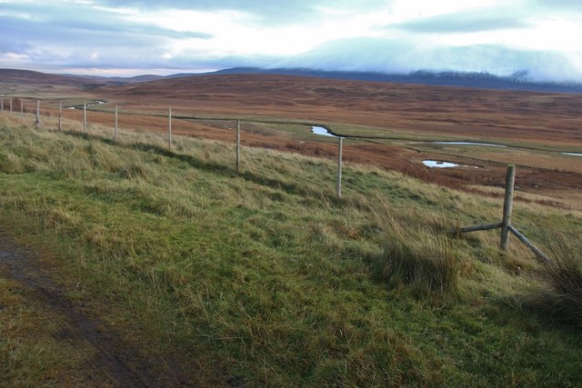
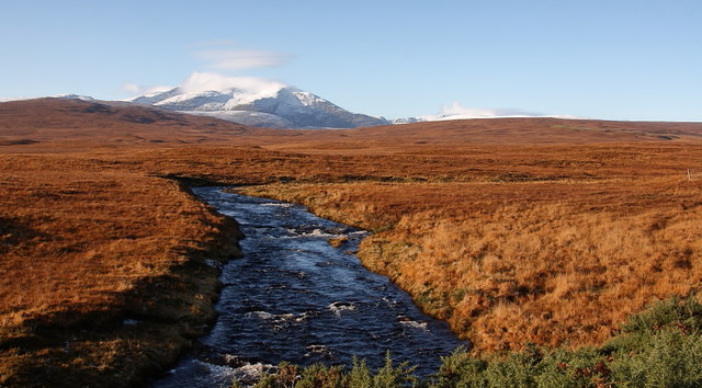
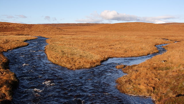
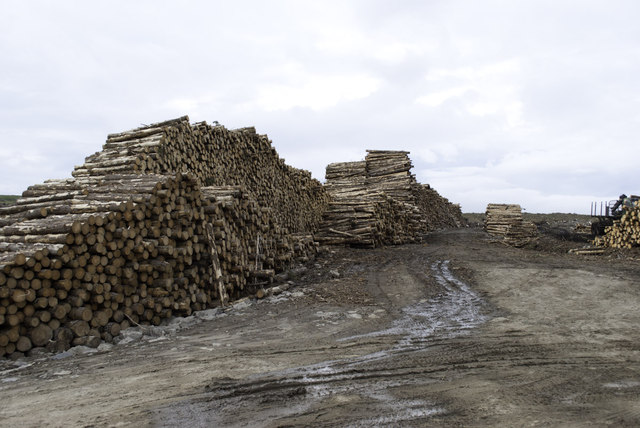
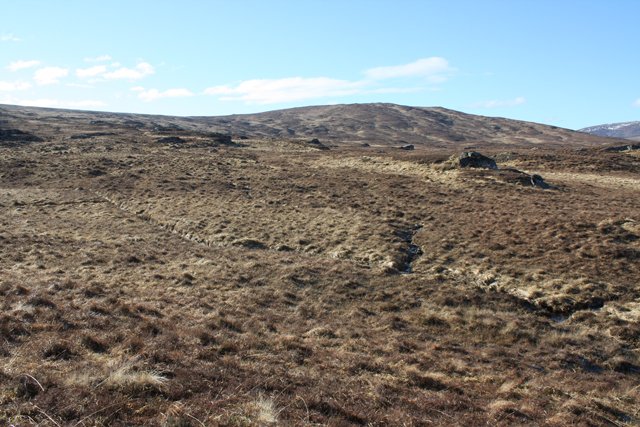
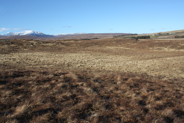
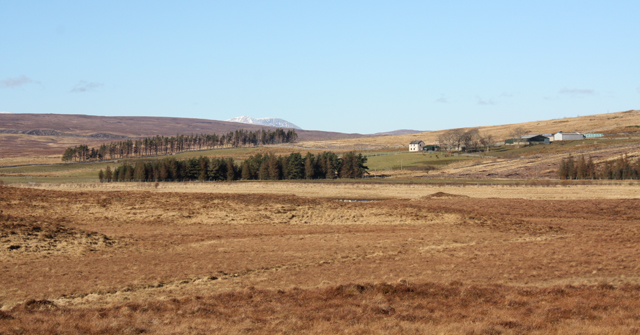
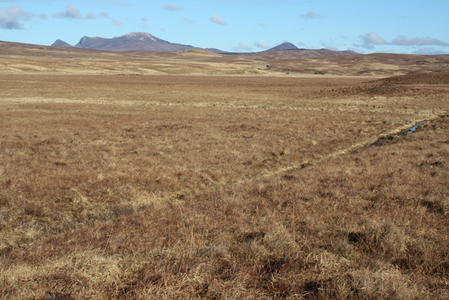
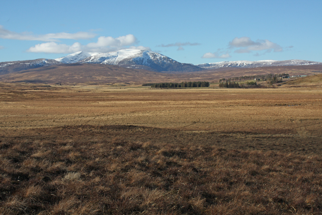
The Mudale Shelter Belt, located in Sutherland, is a remarkable wood and forest area that stretches over a vast expanse. This shelter belt was established in the early 20th century with the primary aim of providing protection against strong winds and soil erosion in the region. It covers an area of approximately 10 square kilometers and is a significant landmark in the area.

The Mudale Shelter Belt consists of a diverse range of tree species, including conifers and deciduous trees. The most prominent species found here are Scots pine, Norway spruce, and silver birch. These trees have been carefully planted in rows to create a dense and well-structured forest. The carefully planned layout of the trees allows for maximum windbreak and soil stabilization benefits.

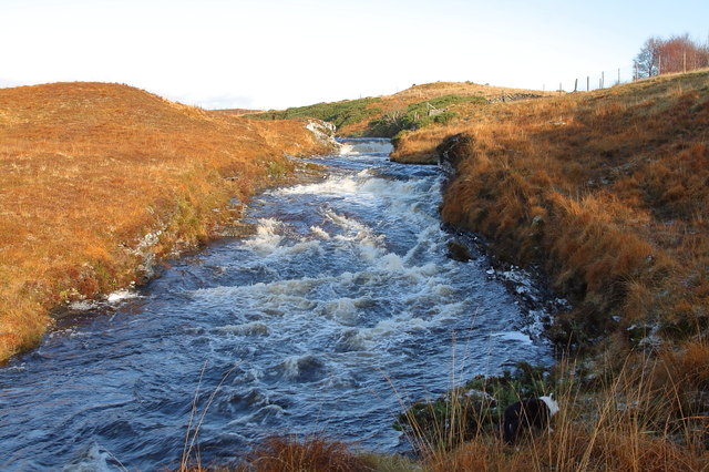
This shelter belt has had a significant positive impact on the local environment. The dense forest provides a habitat for various wildlife species, including birds, mammals, and insects. It also acts as a natural carbon sink, contributing to the reduction of greenhouse gases and mitigating climate change.

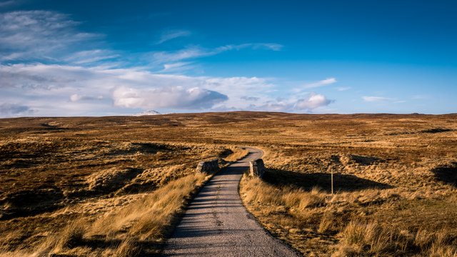
In addition to its ecological benefits, the Mudale Shelter Belt is also a popular destination for outdoor enthusiasts. The area offers fantastic opportunities for hiking, birdwatching, and nature photography. The tranquil atmosphere and stunning scenery make it an ideal spot for those seeking a peaceful retreat in nature.

Overall, the Mudale Shelter Belt in Sutherland is a remarkable wood and forest area that serves as a valuable resource for both the environment and local community. It continues to play a crucial role in protecting against wind erosion, supporting biodiversity, and providing recreational opportunities for visitors.

If you have any feedback on the listing, please let us know in the comments section below.

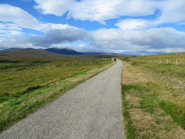
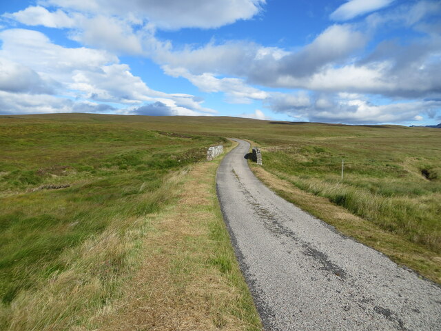
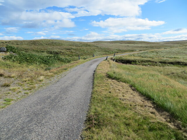
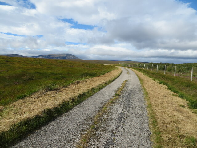
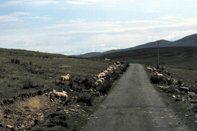
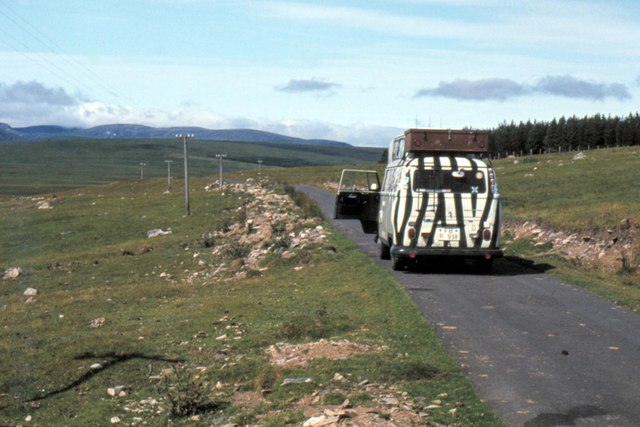
Mudale Shelter Belt Images

Images are sourced within 2km of 58.287616/-4.5098044 or Grid Reference NC5235. Thanks to Geograph Open Source API. All images are credited.

Minor road near to the entrance to Mudale Farm Looking north-westward.
Minor road near to the entrance to Mudale Farm
Looking north-westward.
Minor road and bridge crossing Alltan Feàrna Looking north-ward.
Minor road and bridge crossing Alltan Feàrna
Looking north-ward.
Minor road and bridge crossing Alltan Leacach Looking eastward.
Minor road and bridge crossing Alltan Leacach
Looking eastward.
Minor road at Barren Ridge Looking westward. Barren Ridge Plantation was on the right prior to being felled.
Minor road at Barren Ridge
Looking westward. Barren Ridge Plantation was on the right prior to being felled.
Ordnance Survey Cut Mark with Rivet This mark and rivet can be found on the top of the parapet wall of a road bridge crossing Alltan Feàrna near to Mudale.
The recorded details give a height of 122.247 metres above sea level.
For more details see : <span class="nowrap"><a title="https://www.bench-marks.org.uk/bm164510" rel="nofollow ugc noopener" href="https://www.bench-marks.org.uk/bm164510">Link</a><img style="margin-left:2px;" alt="External link" title="External link - shift click to open in new window" src="https://s1.geograph.org.uk/img/external.png" width="10" height="10"/></span>
Ordnance Survey Cut Mark with Rivet
This mark and rivet can be found on the top of the parapet wall of a road bridge crossing Alltan Feàrna near to Mudale. The recorded details give a height of 122.247 metres above sea level. For more details see : LinkExternal link
Roadside fence above Mudale
Road to Hope
Road to Hope
Meadie Falls Meadie Falls on the Meadie Burn.
Meadie Falls
Meadie Falls on the Meadie Burn.
Meadie Burn With Ben Hee in the distance.
Meadie Burn
With Ben Hee in the distance.
Meadie Burn Confluence of the Meadie Burn and Alltan Leacach
Meadie Burn
Confluence of the Meadie Burn and Alltan Leacach
Garvel Wood - to be collected
Rocks on moorland near Mudale South of the River Mudale.
Rocks on moorland near Mudale
South of the River Mudale.
Moorland south of Mudale The farm can be seen at top right, with Ben Tee at top left.
Moorland south of Mudale
The farm can be seen at top right, with Ben Tee at top left.
Mudale farm buildings On the north side of the River Mudale.
Mudale farm buildings
On the north side of the River Mudale.
Flat land south of the River Mudale Very boggy despite numerous ditches.
Flat land south of the River Mudale
Very boggy despite numerous ditches.
Boggy moorland south of the River Mudale Ben Hee in the distance.
Boggy moorland south of the River Mudale
Ben Hee in the distance.
Mudale - 1983 Mudale, Strathmore Hope Road, C1034.
Mudale - 1983
Mudale, Strathmore Hope Road, C1034.
Mudale - 1983 Mudale, Strathmore Hope Road, C1034, Mudale Wood.
Mudale - 1983
Mudale, Strathmore Hope Road, C1034, Mudale Wood.
Show me another place!

Mudale Shelter Belt is located at Grid Ref: NC5235 (Lat: 58.287616, Lng: -4.5098044)

Unitary Authority: Highland

Police Authority: Highlands and Islands

What 3 Words

///turned.fingernails.redefined. Near Altnaharra, Highland

Nearby Locations

Mudale Shelter Belt

Related Wikis

Altnaharra

Altnaharra (Scottish Gaelic: Allt na h-Eirbhe) is a small hamlet in Sutherland in the Highland region of northern Scotland. The hamlet is on the A836 road...

Sutherland

Sutherland (Scottish Gaelic: Cataibh) is a historic county, registration county and lieutenancy area in the Highlands of Scotland. Its county town is Dornoch...
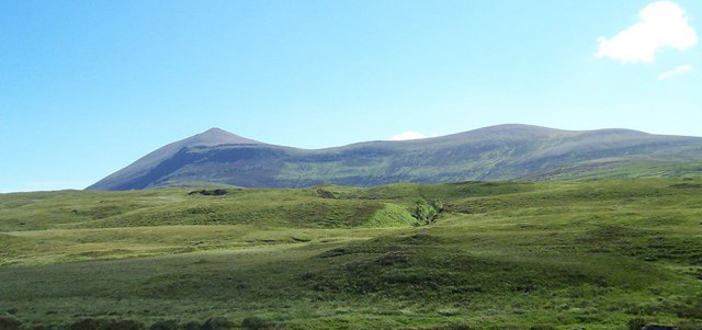
Ben Klibreck

Ben Klibreck (Scottish Gaelic: Beinn Clìbric) is a Scottish mountain located in central Sutherland. It is an isolated mountain, rising above a large area...

Loch Naver

Loch Naver is a loch in the Farr parish in Sutherland in the Highland council area of northern Scotland. It is situated upon the B873 main road. Upon the...

Nearby Amenities

Located within 500m of 58.287616,-4.5098044
Bus Stop
Mudale
Naptan AtcoCode: 6700712933
Naptan Bearing: E
Naptan CommonName: Mudale
Naptan Indicator: at Road End
Naptan Landmark: Road End
Naptan NaptanCode: 45328386
Naptan Street: Allnabad Road
Naptan Verified: no
Source: naptan_import
Lat/Long: 58.2889068/-4.5037143
Bus Stop
Mudale
Naptan AtcoCode: 6700712993
Naptan Bearing: N
Naptan CommonName: Mudale
Naptan Indicator: at Houses
Naptan Landmark: Houses
Naptan NaptanCode: 45328438
Naptan Street: Hope - Altnaharra Road
Naptan Verified: no
Source: naptan_import
Lat/Long: 58.2870735/-4.5051033
Mudale
Name Gd: Modhudal
Place: isolated_dwelling
Lat/Long: 58.2868753/-4.5043495
Tubeg
Name Gd: An Taobh Beag
Place: locality
Lat/Long: 58.2872024/-4.5102718
Ford: yes
Lat/Long: 58.2844405/-4.5069377
The data included in this document is from www.openstreetmap.org. The data is made available under ODbL.

Have you been to Mudale Shelter Belt?

Leave your review of Mudale Shelter Belt below (or comments, questions and feedback).