Badarach Wood

Wood, Forest in Ross-shire

Scotland

Badarach Wood

The Remains of Forestry above Strathkyle House, Ross-shire View looking west over cleared forestry with the peaks of the Assynt on the distant horizon.
The Remains of Forestry above Strathkyle House, Ross-shire Credit: Andrew Tryon

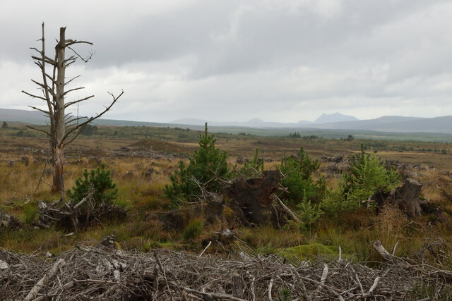
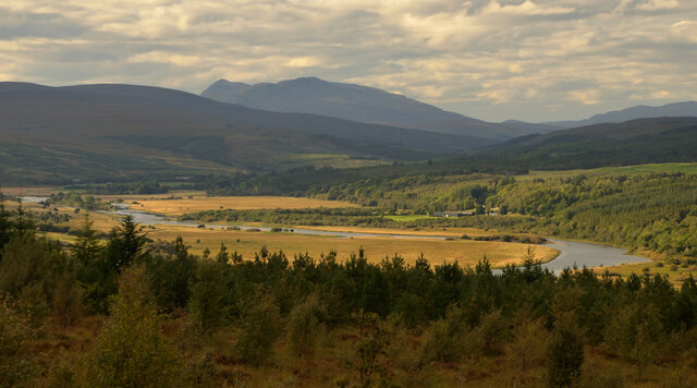
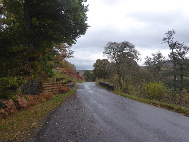
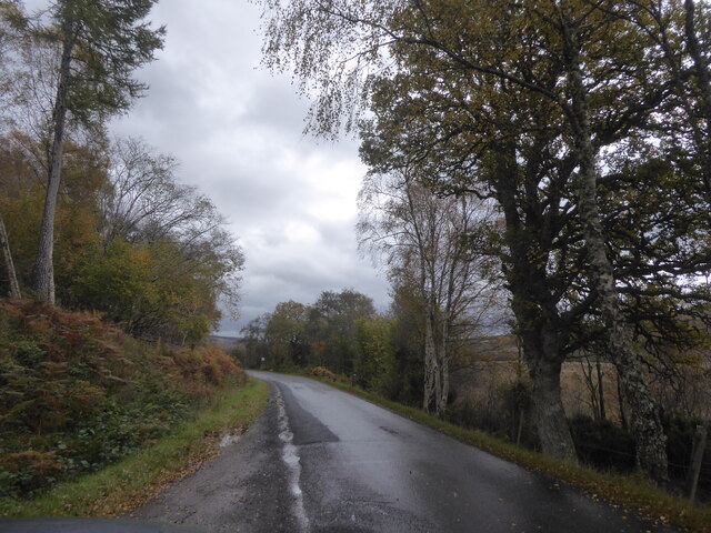
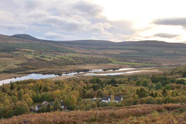
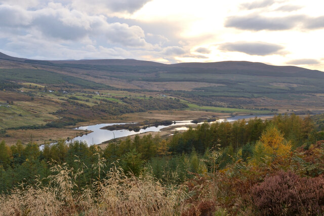
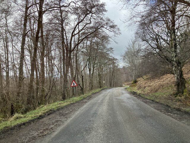
Badarach Wood is a charming woodland located in Ross-shire, Scotland. Spread over an area of approximately 100 hectares, this enchanting forest is known for its natural beauty and diverse flora and fauna. The wood is situated near the village of Contin, just a short drive from Inverness.

The wood is predominantly made up of mixed deciduous trees, including oak, birch, and beech, which create a picturesque landscape throughout the year. The dense foliage provides a sheltered habitat for a wide variety of wildlife, making it a perfect spot for nature enthusiasts and bird watchers. Visitors may have the opportunity to spot various bird species, including buzzards, owls, and woodpeckers.

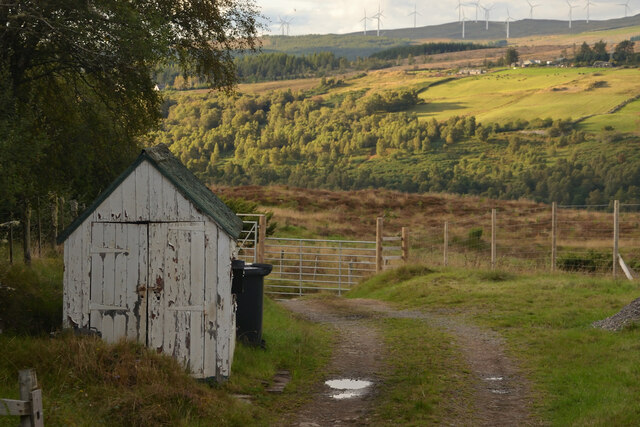
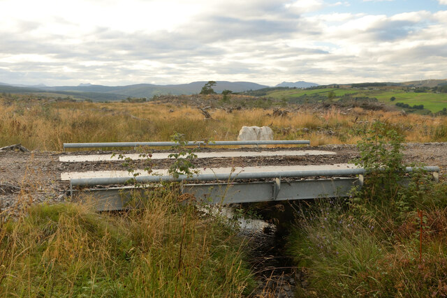
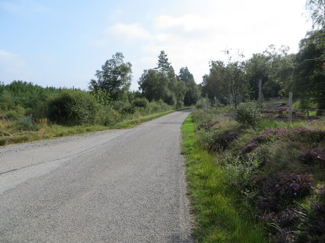
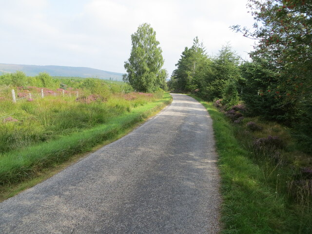
Badarach Wood offers a network of well-maintained trails that wind through the forest, allowing visitors to explore its natural wonders. These trails cater to different levels of fitness and offer breathtaking views of the surrounding countryside. The wood also offers picnic areas and benches, providing visitors with the opportunity to relax and enjoy the serene surroundings.

Additionally, the wood is home to the beautiful River Blackwater, which meanders through its heart. The river adds to the peaceful ambiance of the wood, making it a popular destination for those seeking tranquility and a break from the hustle and bustle of everyday life.

Overall, Badarach Wood is a captivating destination that offers a delightful escape into nature. Its rich biodiversity, scenic trails, and serene atmosphere make it a must-visit for nature lovers and those seeking a peaceful retreat in the heart of Ross-shire.

If you have any feedback on the listing, please let us know in the comments section below.

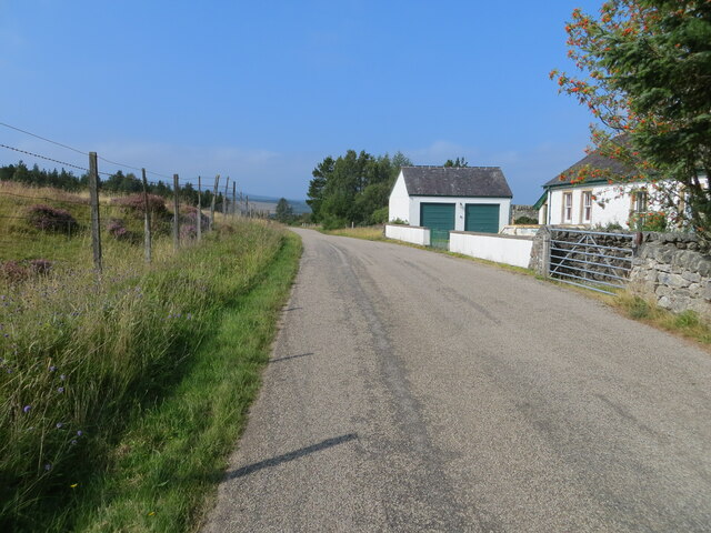
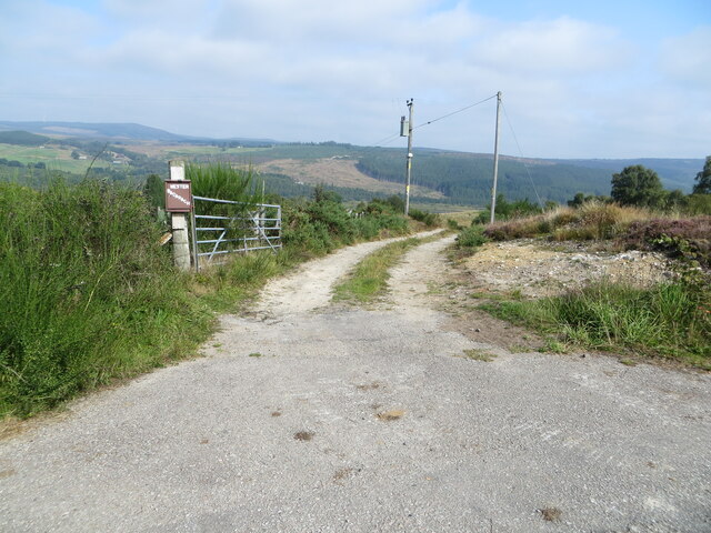
Badarach Wood Images

Images are sourced within 2km of 57.949721/-4.4891383 or Grid Reference NH5298. Thanks to Geograph Open Source API. All images are credited.

The Remains of Forestry above Strathkyle House, Ross-shire View looking west over cleared forestry with the peaks of the Assynt on the distant horizon.
The Remains of Forestry above Strathkyle House, Ross-shire
View looking west over cleared forestry with the peaks of the Assynt on the distant horizon.
The Kyle of Sutherland and Ben More Assynt, Scottish Highlands Viewed from Achnahanat, firstly the valley of the Kyle of Sutherland, and in the background the mountain Ben More Assynt.
The Kyle of Sutherland and Ben More Assynt, Scottish Highlands
Viewed from Achnahanat, firstly the valley of the Kyle of Sutherland, and in the background the mountain Ben More Assynt.
Old Shed at Achnahanat, Ross-shire Next to a track leading down to a farm house at Achnahanat, by the Kyle of Sutherland, Scottish Highlands
Old Shed at Achnahanat, Ross-shire
Next to a track leading down to a farm house at Achnahanat, by the Kyle of Sutherland, Scottish Highlands
Small temporary bridge, Ross-shire Carrying a farm track over a small watercourse.
Small temporary bridge, Ross-shire
Carrying a farm track over a small watercourse.
Minor road at the Old Choolhouse, Achnahanat Looking westward.
Minor road at the Old Choolhouse, Achnahanat
Looking westward.
Track giving access to Wester Badarach Looking north-eastward.
Track giving access to Wester Badarach
Looking north-eastward.
Minor road near to Strathkyle Lodge and House Looking south-eastward.
Minor road near to Strathkyle Lodge and House
Looking south-eastward.
Minor road beside Rhelonie Wood Looking noth-eastward.
Minor road beside Rhelonie Wood
Looking noth-eastward.
Bridge over A837 near Tullich
A837 near Auchintoul, Sutherland
A837 by Linsidemore, Sutherland
Autumn at Woodburn, Kyle of Sutherland, Scottish Highlands View from the track in Linsidemore Woods over the Kyle of Sutherland and River Oykel.
Autumn at Woodburn, Kyle of Sutherland, Scottish Highlands
View from the track in Linsidemore Woods over the Kyle of Sutherland and River Oykel.
View over Kyle of Sutherland from Linsidemore Wood, Sutherland The water in the valley is the River Oykel.
View over Kyle of Sutherland from Linsidemore Wood, Sutherland
The water in the valley is the River Oykel.
View down Kyle of Sutherland from Linsidemore Wood, Sutherland The river is the Oykel.  The towers of Carbisdale Castle are just visible in the distance.
View down Kyle of Sutherland from Linsidemore Wood, Sutherland
The river is the Oykel. The towers of Carbisdale Castle are just visible in the distance.
A837 near Linsidemore
A837 near Auchintoul
Show me another place!

Badarach Wood is located at Grid Ref: NH5298 (Lat: 57.949721, Lng: -4.4891383)

Unitary Authority: Highland

Police Authority: Highlands and Islands

What 3 Words

///kept.legroom.avid. Near Lairg, Highland

Nearby Locations

Badarach Wood

Related Wikis

Achnahanat

Achnahanat (Scottish Gaelic: Achadh na h-Annaid) is a crofting settlement on the south side of the Kyle of Sutherland in Scotland. It is about 4 miles...

Linsidemore

Linsidemore (Scottish Gaelic: Lianasaid Mhòr) is a tiny township on the north bank of the Kyle of Sutherland in the Scottish Highlands. It is about 3 miles...

Rhelonie

Rhelonie (Scottish Gaelic: Ruigh an Lòin) is a crofting hamlet in the Highland region of Scotland. Rhelonie is 2 miles northwest of the village of Culrain...

Altass

Altass (Scottish Gaelic: Alltais) is a village in the Parish of Creich, near Lairg, Sutherland, within the Highland, Scotland and is in the council area...

Nearby Amenities

Located within 500m of 57.949721,-4.4891383
Power: pole
Lat/Long: 57.9471822/-4.495668
Power: pole
Lat/Long: 57.9470758/-4.4944504
Power: pole
Lat/Long: 57.9472666/-4.4939065
Power: pole
Lat/Long: 57.9477961/-4.4923779
Power: pole
Lat/Long: 57.9482542/-4.4910621
The data included in this document is from www.openstreetmap.org. The data is made available under ODbL.

Have you been to Badarach Wood?

Leave your review of Badarach Wood below (or comments, questions and feedback).