Flow Moss
Wood, Forest in Ayrshire
Scotland
Flow Moss
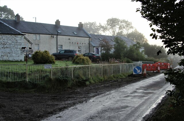
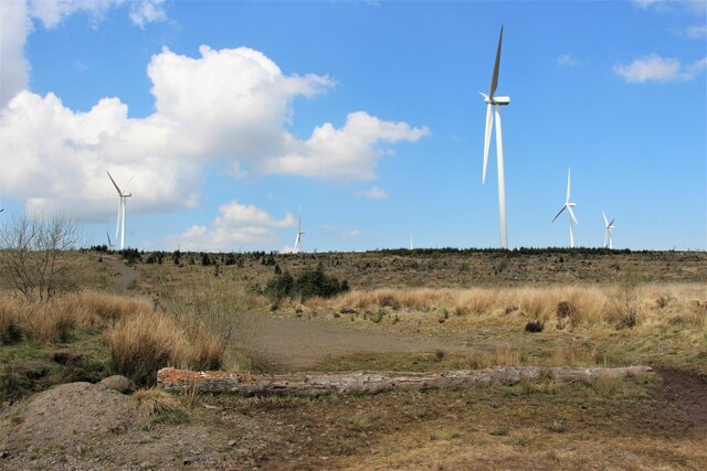
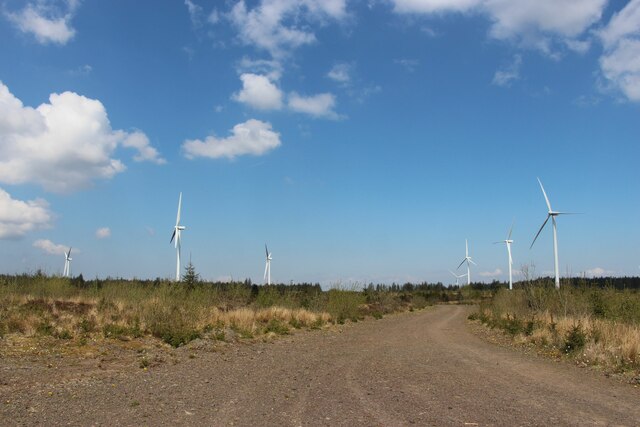
Flow Moss is a picturesque wooded area located in Ayrshire, Scotland. It is known for its dense forest and tranquil atmosphere, making it a popular destination for nature lovers and outdoor enthusiasts. The moss is situated near the village of Coylton and covers a vast area of approximately 200 acres.
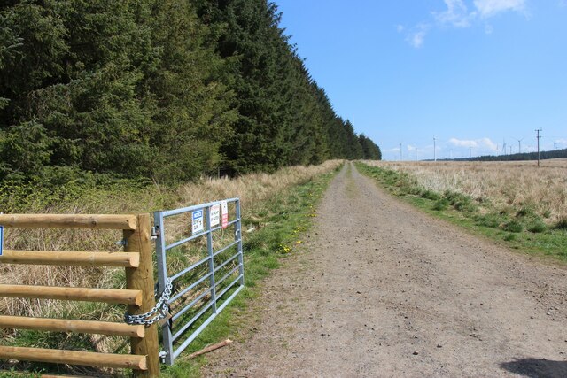
The main feature of Flow Moss is its dense woodland, which is predominantly composed of various species of trees such as oak, birch, and pine. The forest creates a stunning canopy that filters the sunlight, creating a dappled effect on the forest floor. The moss is also home to a diverse range of wildlife, including squirrels, rabbits, and various species of birds.
The area is traversed by well-maintained walking trails, which offer visitors the opportunity to explore the moss and immerse themselves in its natural beauty. These trails wind through the forest, providing breathtaking views of the surrounding landscape and allowing visitors to connect with nature.
Flow Moss is a haven for outdoor activities such as hiking, birdwatching, and photography. The serenity and tranquility of the moss make it an ideal place for nature enthusiasts to escape the hustle and bustle of everyday life and reconnect with the natural world.
Overall, Flow Moss in Ayrshire is a stunning woodland area that offers visitors a chance to experience the beauty of nature. With its dense forest, diverse wildlife, and well-maintained trails, it is a must-visit destination for those seeking a peaceful and immersive nature experience in Scotland.
If you have any feedback on the listing, please let us know in the comments section below.
Flow Moss Images
Images are sourced within 2km of 55.673852/-4.3426961 or Grid Reference NS5244. Thanks to Geograph Open Source API. All images are credited.
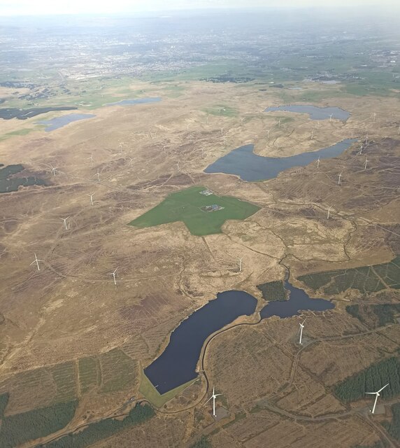
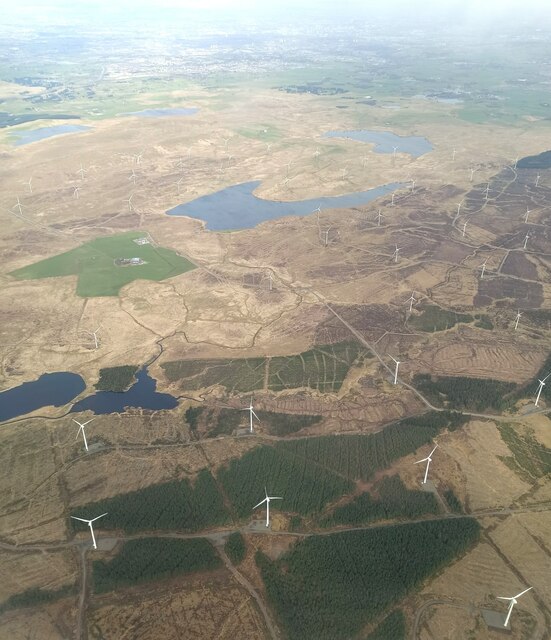
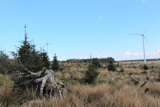
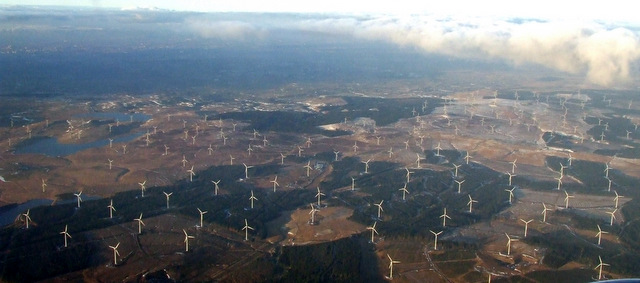
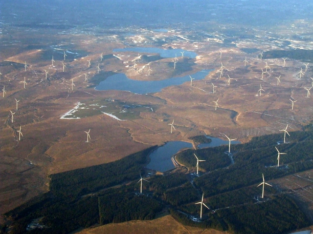
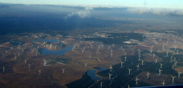
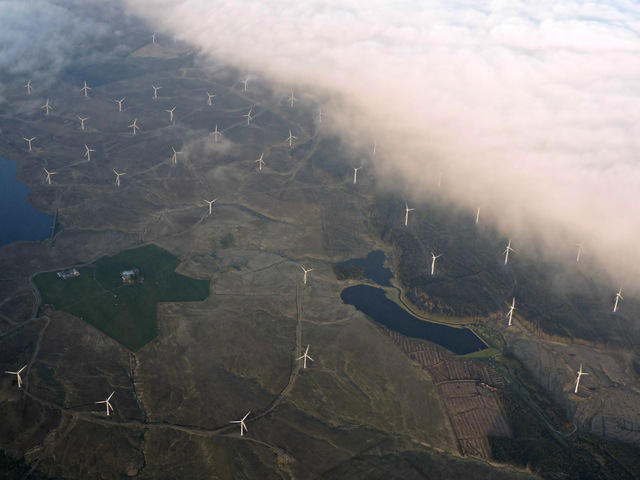
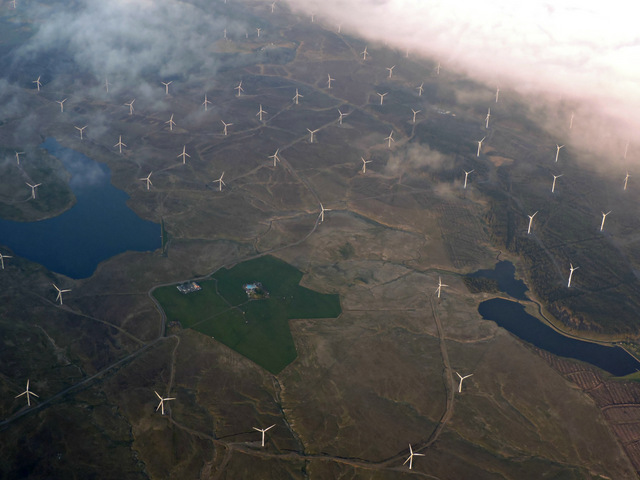
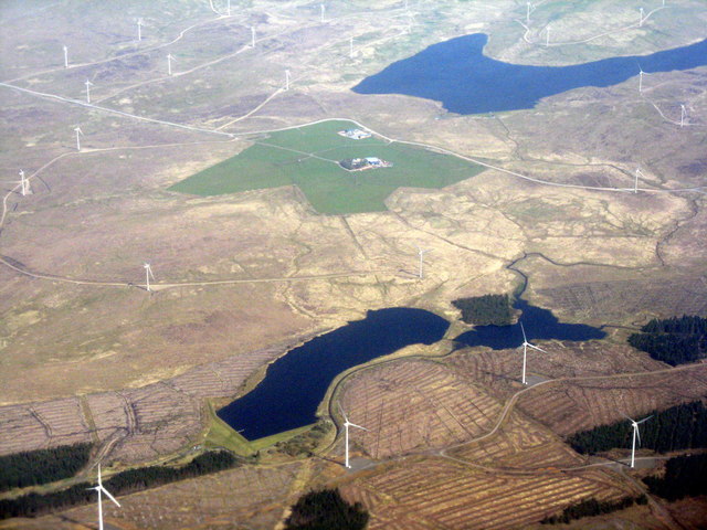
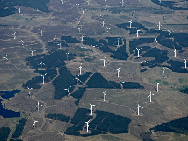
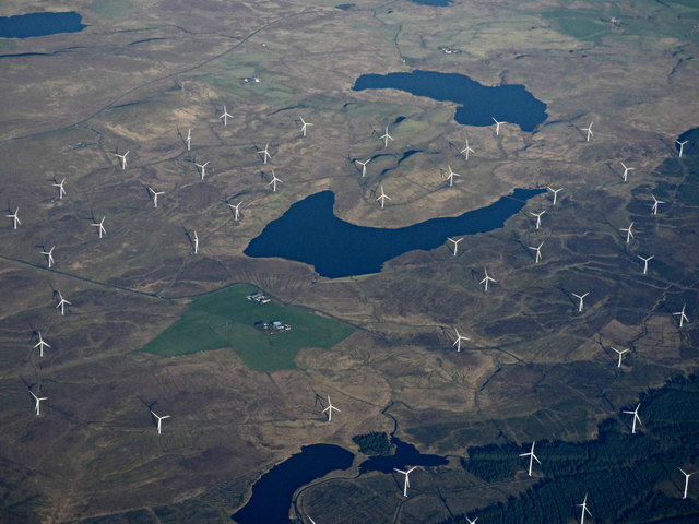
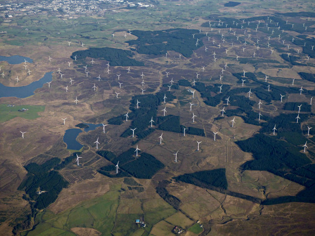
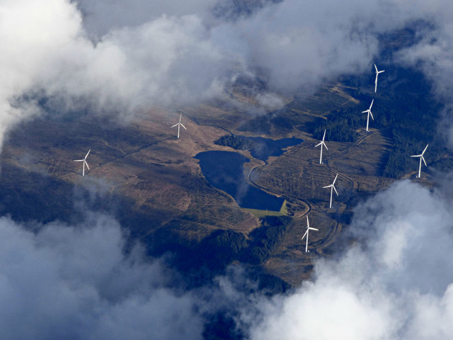
![Windfarm at Whitelee A lot of the forest plantations shown on most recent maps has gone, and the turbines do not yet appear on Google Earth [latest imagery seems to be 2006?], or the largest OS map scale available when submitting.](https://s2.geograph.org.uk/geophotos/02/98/24/2982450_382c98d0.jpg)
Flow Moss is located at Grid Ref: NS5244 (Lat: 55.673852, Lng: -4.3426961)
Unitary Authority: East Ayrshire
Police Authority: Ayrshire
What 3 Words
///stand.headboard.bulges. Near Fenwick, East Ayrshire
Nearby Locations
Related Wikis
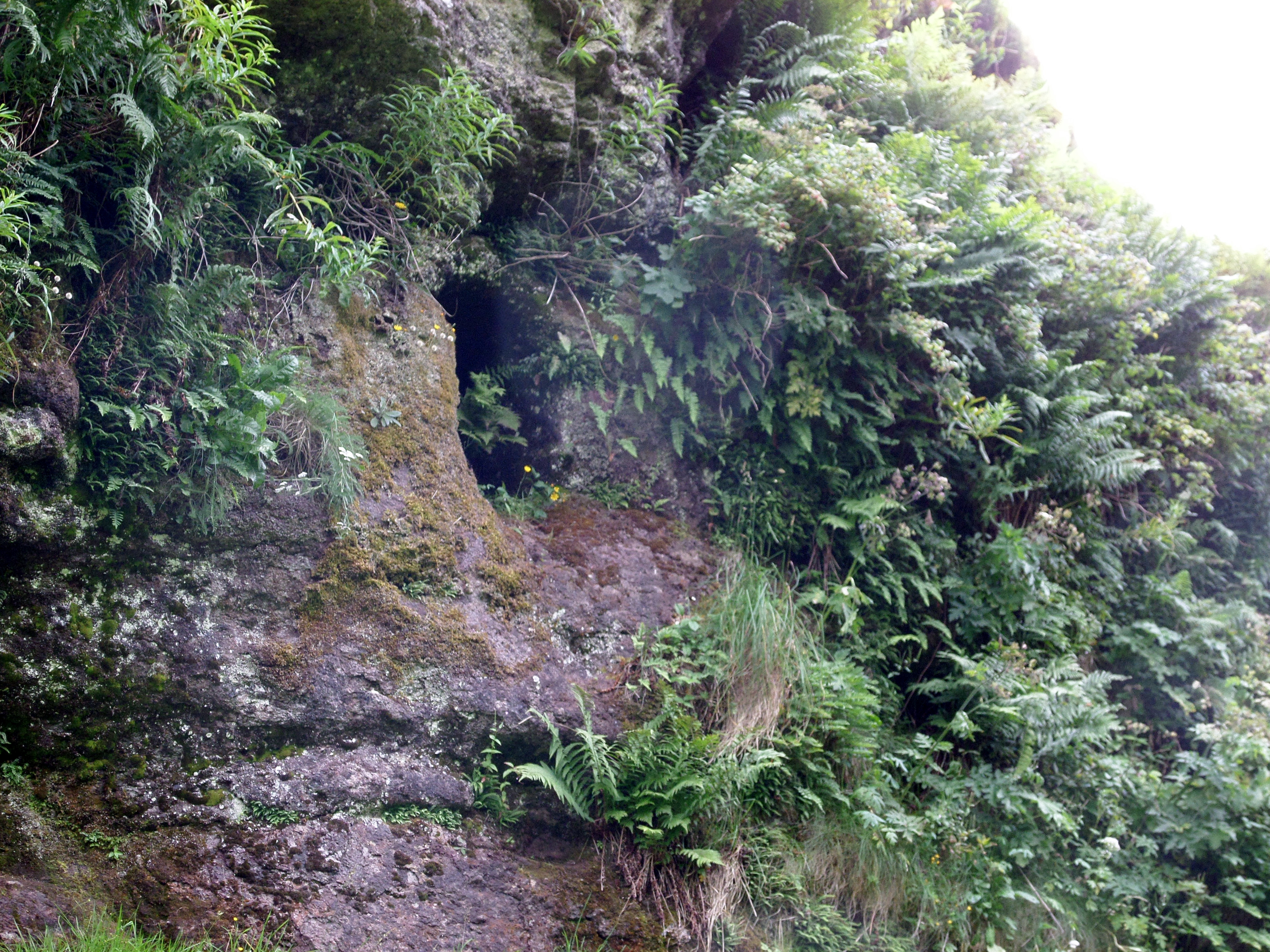
Dunton Cove
Dunton Cove or the Covenanters' Cave is an artificial cave in a craggy outcrop of rocks overlooking the Craufurdland Water just below the confluence of...

Whitelee Wind Farm
Whitelee Wind Farm is a windfarm on the Eaglesham moor in Scotland. The main visitor centre is located in East Renfrewshire, but the majority of turbines...

Waterside, East Ayrshire
Waterside is a village in East Ayrshire, Scotland, situated about five miles north of Galston on the Craufurdland Water in the Parish of Fenwick. It lies...

Moscow, East Ayrshire
Moscow is a hamlet in East Ayrshire in Scotland. It is on the A719 road some 4 miles (6 kilometres) east of Kilmarnock. In 2006 its population was reported...
Nearby Amenities
Located within 500m of 55.673852,-4.3426961Have you been to Flow Moss?
Leave your review of Flow Moss below (or comments, questions and feedback).