Bad an t-Sasunnaich
Wood, Forest in Perthshire
Scotland
Bad an t-Sasunnaich
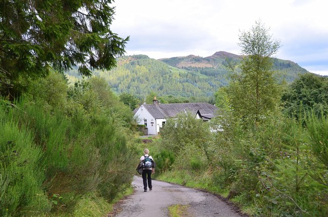
Bad an t-Sasunnaich, also known as Wood in English, is a charming forest located in Perthshire, Scotland. Covering an area of approximately 200 acres, this woodland paradise is nestled amidst the breathtaking scenery of the Scottish Highlands.
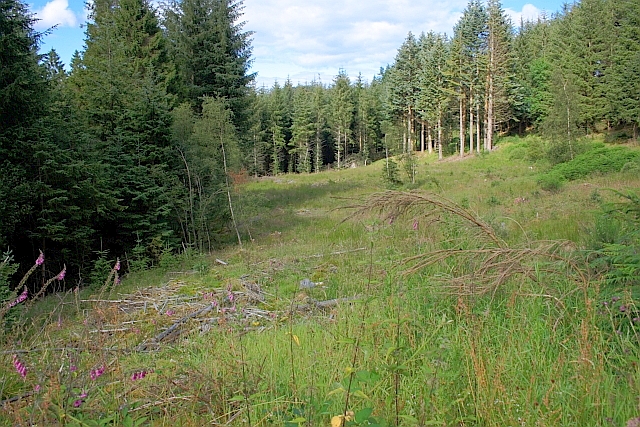
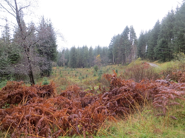
Bad an t-Sasunnaich is a haven for nature enthusiasts and outdoor lovers alike. The forest is primarily composed of native Scottish trees such as oak, birch, and pine, creating a diverse and vibrant ecosystem. The lush greenery provides a serene and tranquil atmosphere, making it an ideal destination for those seeking solace in nature.
The forest is home to a variety of wildlife, including red squirrels, deer, and a plethora of bird species. Birdwatchers can delight in spotting rare and migratory birds that frequent the area. Additionally, the forest is crisscrossed with numerous walking trails, allowing visitors to explore the woodland at their own pace.
Bad an t-Sasunnaich offers a range of recreational activities for visitors of all ages. Picnic areas are scattered throughout the forest, providing the perfect spot for a leisurely lunch amidst the natural beauty. Adventure seekers can indulge in activities such as mountain biking and hiking, with trails suitable for all levels of experience.
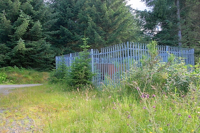
The forest also boasts historical significance, with remnants of ancient settlements and archaeological sites scattered throughout. Exploring these historical artifacts offers a glimpse into the rich cultural heritage of the area.
Overall, Bad an t-Sasunnaich is a hidden gem in Perthshire, offering a perfect blend of natural beauty, recreational activities, and historical intrigue. Whether one seeks a peaceful retreat or an adventurous escapade, this forest promises a memorable experience for all who visit.
If you have any feedback on the listing, please let us know in the comments section below.
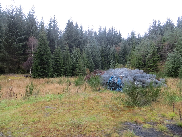
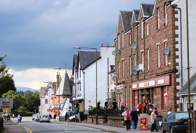
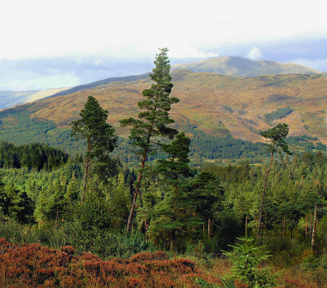
Bad an t-Sasunnaich Images
Images are sourced within 2km of 56.182815/-4.3972167 or Grid Reference NN5101. Thanks to Geograph Open Source API. All images are credited.


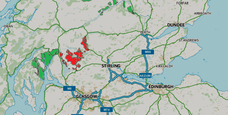
Bad an t-Sasunnaich is located at Grid Ref: NN5101 (Lat: 56.182815, Lng: -4.3972167)
Unitary Authority: Stirling
Police Authority: Forth Valley
What 3 Words
///baths.joined.ditching. Near Callander, Stirling
Nearby Locations
Related Wikis

Craigmore (hill)
Craigmore is a prominent hill, 387 metres high, above the village of Aberfoyle in the council area of Stirling in Scotland. == Geography == The summit...

Duchray Water
Duchray Water, also called Dachray Water, is a 14-mile-long (23 km) headstream of the River Forth in the Trossachs region of Scotland. == Location == Duchray...

Milton, Stirling
Milton is a hamlet in Stirling, Scotland near Aberfoyle situated above the River Forth. In 1961 it had a population of 98. Most pupils attend Aberfoyle...
Aberfoyle, Stirling
Aberfoyle (Scottish Gaelic: Obar Phuill) is a village in the historic county and registration county of Perthshire and the council area of Stirling, Scotland...

Aberfoyle railway station
Aberfoyle railway station served the village of Aberfoyle in Scotland between 1882 and 1951. == History == The station was opened by the Strathendrick...
Duke's Pass
Duke's Pass or Dukes Pass is a pass on the A821 road between Aberfoyle and Brig o' Turk in the glen of the Trossachs in the Scottish Highlands. It climbs...

Gartmore railway station
Gartmore railway station served the village of Gartmore, in the historical county of Stirlingshire, Scotland, from 1882 to 1950 on the Strathendrick and...
Queen Elizabeth Forest Park
Queen Elizabeth Forest Park is a 19,665-hectare (48,590-acre) forest park in the Scottish Highlands which extends from the eastern shores of Loch Lomond...
Nearby Amenities
Located within 500m of 56.182815,-4.3972167Have you been to Bad an t-Sasunnaich?
Leave your review of Bad an t-Sasunnaich below (or comments, questions and feedback).