Drumore Wood

Wood, Forest in Stirlingshire

Scotland

Drumore Wood

Killearn church This church was built in 1882.
Killearn church Credit: Kevin Rae

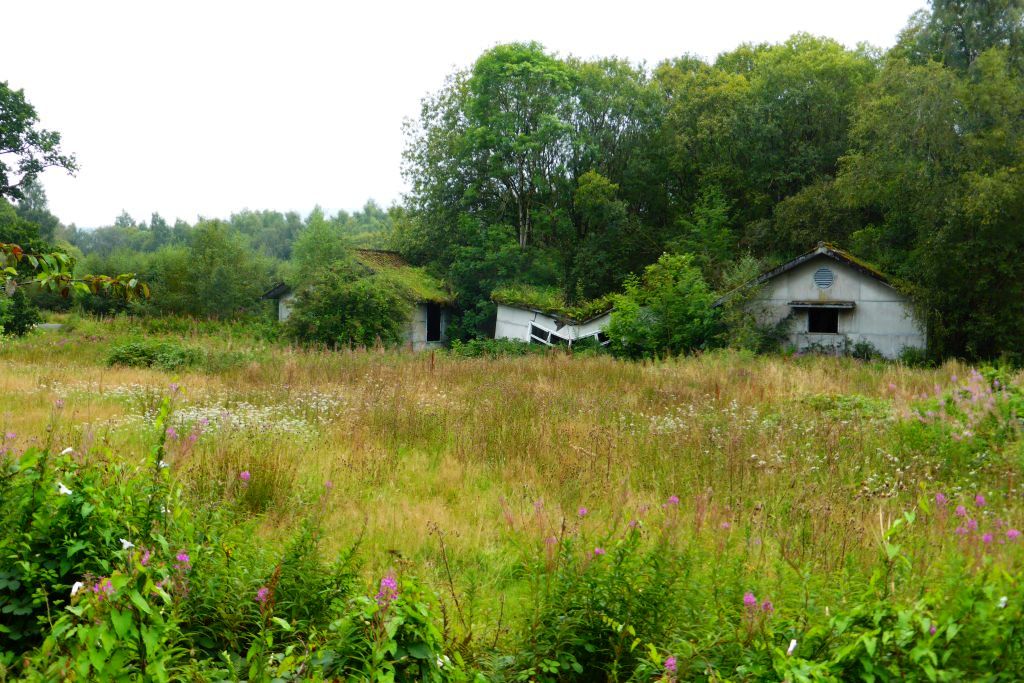
Drumore Wood, located in Stirlingshire, Scotland, is a picturesque forest covering an area of approximately 200 acres. This wood is nestled in the heart of the scenic countryside, offering visitors a tranquil and peaceful environment to explore and enjoy the wonders of nature.

The wood is predominantly made up of native broadleaf trees, including oak, birch, and ash, which create a diverse and vibrant ecosystem. The lush undergrowth is adorned with ferns, bluebells, and wildflowers, adding a splash of color to the woodland floor during the spring and summer months.

Drumore Wood is home to a wide range of wildlife, providing a habitat for various bird species, such as woodpeckers, owls, and thrushes. Visitors may also catch a glimpse of red squirrels darting through the trees or encounter deer grazing in the open glades. The wood has been designated as a Site of Special Scientific Interest (SSSI) due to its importance in preserving the local biodiversity.

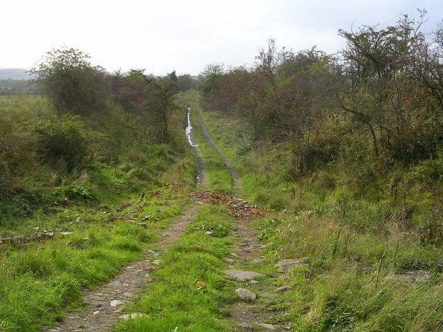
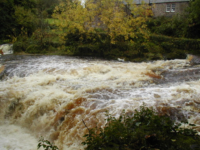
The woodland features several well-maintained paths and trails, allowing visitors to explore the area on foot or by bicycle. These paths lead visitors through enchanting woodland areas, across babbling brooks, and to stunning viewpoints that offer breathtaking vistas of the surrounding countryside.

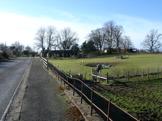
Drumore Wood is a popular destination for nature lovers, photographers, and those seeking a peaceful retreat. Its accessibility, combined with its natural beauty, makes it a perfect location for a leisurely stroll, a family picnic, or even birdwatching. It is a true gem in the heart of Stirlingshire, offering visitors a chance to reconnect with nature in a stunning woodland setting.

If you have any feedback on the listing, please let us know in the comments section below.
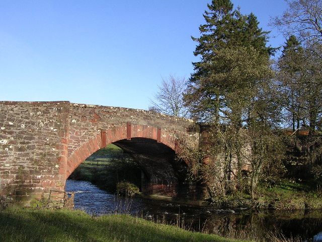
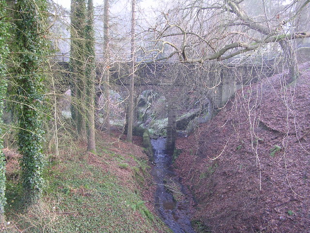
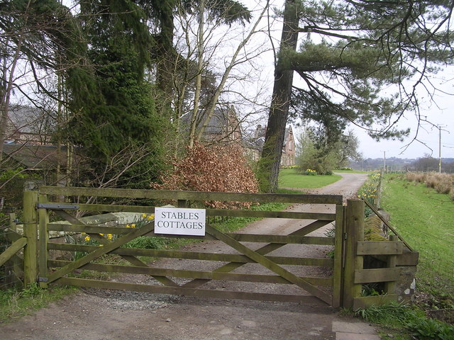
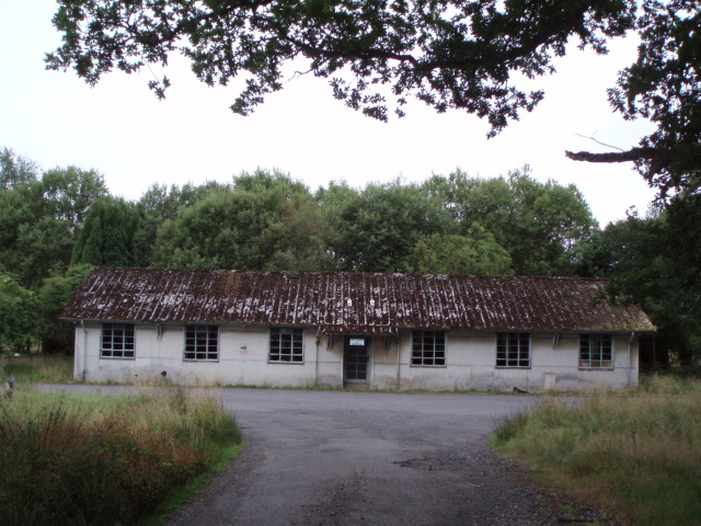
Drumore Wood Images

Images are sourced within 2km of 56.04607/-4.3888854 or Grid Reference NS5186. Thanks to Geograph Open Source API. All images are credited.

Killearn church This church was built in 1882.
Killearn church
This church was built in 1882.
Blane Bridge Spans the Blane Water
Blane Bridge
Spans the Blane Water
Last House in Killearn Before hitting open countryside to the south west
Last House in Killearn
Before hitting open countryside to the south west
Killearn Churches on Remembrance Sunday
Killearn Cemetery and The Firs
West Highland Way at Gartness Running along the course of a disused railway
West Highland Way at Gartness
Running along the course of a disused railway
Aqueduct across Kirkhouse Burn, Killearn This is carrying the water pipes from Loch Katrine to Glasgow
Aqueduct across Kirkhouse Burn, Killearn
This is carrying the water pipes from Loch Katrine to Glasgow
Gartness Bridge
Gartness Bridge
Killearn Bridge Magnificent sandstone bridge spanning the Endrick Water. This bridge is completely invisible from the A81 when you drive across it.
Killearn Bridge
Magnificent sandstone bridge spanning the Endrick Water. This bridge is completely invisible from the A81 when you drive across it.
Footbridge across the Endrick Water A very secluded stretch of river
Footbridge across the Endrick Water
A very secluded stretch of river
Gateway to Carbeth House Private Grounds I didn't feel comfortable to walk through the grounds of Carbeth House, so this was my point of closest approach.
Gateway to Carbeth House Private Grounds
I didn't feel comfortable to walk through the grounds of Carbeth House, so this was my point of closest approach.
Derelict Buildings Derelict buildings to the east of Killearn House. A new roundabout has just been built opposite.
Derelict Buildings
Derelict buildings to the east of Killearn House. A new roundabout has just been built opposite.
Disused Railway at Meikle Drumquharn
Heron's Court
Heron's Court
Auchenibert Lane Looking northwest
Auchenibert Lane
Looking northwest
Weir on River Endrick River in Spate
Weir on River Endrick
River in Spate
River Endrick waterfall This area is a very popular spot for watching salmon leap up the falls.  This picture was taken when the river was in spate.  Normally there are three main channels and the drop is about 15 feet. Today the drop was about 5 feet
River Endrick waterfall
This area is a very popular spot for watching salmon leap up the falls. This picture was taken when the river was in spate. Normally there are three main channels and the drop is about 15 feet. Today the drop was about 5 feet
Parish Church The Church and Obelisk at Killearn on the main road through the town.
Parish Church
The Church and Obelisk at Killearn on the main road through the town.
Show me another place!

Drumore Wood is located at Grid Ref: NS5186 (Lat: 56.04607, Lng: -4.3888854)

Unitary Authority: Stirling

Police Authority: Forth Valley

What 3 Words

///grazes.dimension.orbit. Near Killearn, Stirling

Related Wikis

Killearn railway station

Killearn railway station served the village of Killearn, Stirling, Scotland from 1882 to 1951 on the Blane Valley Railway. == History == The station opened...

A81 road

The A81 road is a major road in Scotland. It runs from Glasgow to Callander via Woodside and Maryhill within the city, as well as Bearsden, Milngavie and...

Gartness

Gartness is a hamlet in Stirling, Scotland. It is located 1.8 miles/2.9 km from Killearn and 3.1 miles/5 km from Drymen. Most pupils attend Killearn Primary...

Killearn Hospital

Killearn Hospital was a health facility at Killearn in the Stirling council area of Scotland. == History == The hospital was established as one of seven...

Nearby Amenities

Located within 500m of 56.04607,-4.3888854
Power: pole
Lat/Long: 56.0483894/-4.3939327
Power: pole
Lat/Long: 56.0505069/-4.3890889
Power: pole
Lat/Long: 56.0471488/-4.3961213
Power: pole
Lat/Long: 56.0489735/-4.3928738
Power: pole
Lat/Long: 56.0476012/-4.3953336
Power: pole
Lat/Long: 56.0495296/-4.3918898
Power: pole
Lat/Long: 56.0479897/-4.3946436
Power: pole
Lat/Long: 56.0500876/-4.390884
Power: pole
Lat/Long: 56.0505133/-4.3893503
Power: pole
Lat/Long: 56.0505098/-4.3892897
Power: pole
Lat/Long: 56.0501804/-4.3882208
Power: pole
Lat/Long: 56.0498895/-4.3878631
Power: pole
Lat/Long: 56.0495309/-4.3870034
Power: pole
Lat/Long: 56.0492821/-4.3863549
Power: pole
Lat/Long: 56.0490671/-4.3858236
Power: pole
Lat/Long: 56.0485753/-4.3846502
Power: pole
Lat/Long: 56.0479643/-4.3829747
Power: pole
Lat/Long: 56.0476372/-4.3823806
Power: pole
Lat/Long: 56.047247/-4.3814142
Power: pole
Lat/Long: 56.050025/-4.3890763
Power: pole
Lat/Long: 56.0495204/-4.3892604
Power: pole
Lat/Long: 56.0487646/-4.3895051
Power: pole
Lat/Long: 56.0484211/-4.3887709
Power: pole
Lat/Long: 56.0478744/-4.3875912
Power: pole
Lat/Long: 56.0473638/-4.3868779
Power: pole
Lat/Long: 56.0468323/-4.3861248
Power: pole
Lat/Long: 56.0463229/-4.3853823
Power: pole
Lat/Long: 56.0459152/-4.3843029
Power: pole
Lat/Long: 56.0456757/-4.3830186
Power: pole
Lat/Long: 56.0449934/-4.3819748
The data included in this document is from www.openstreetmap.org. The data is made available under ODbL.

Have you been to Drumore Wood?

Leave your review of Drumore Wood below (or comments, questions and feedback).