Tenafield Belts
Wood, Forest in Ross-shire
Scotland
Tenafield Belts

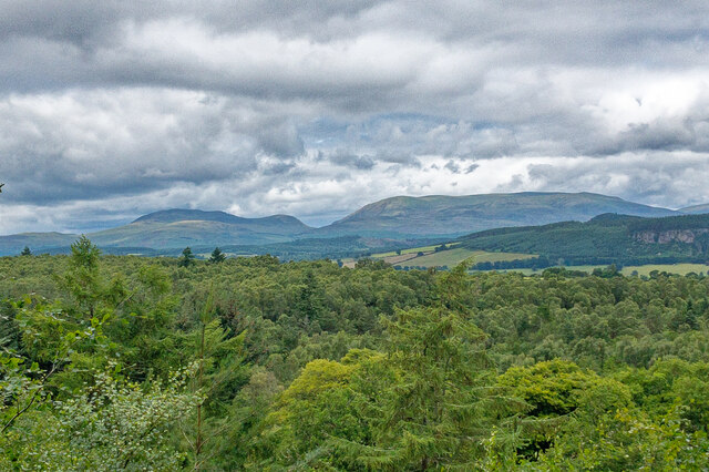
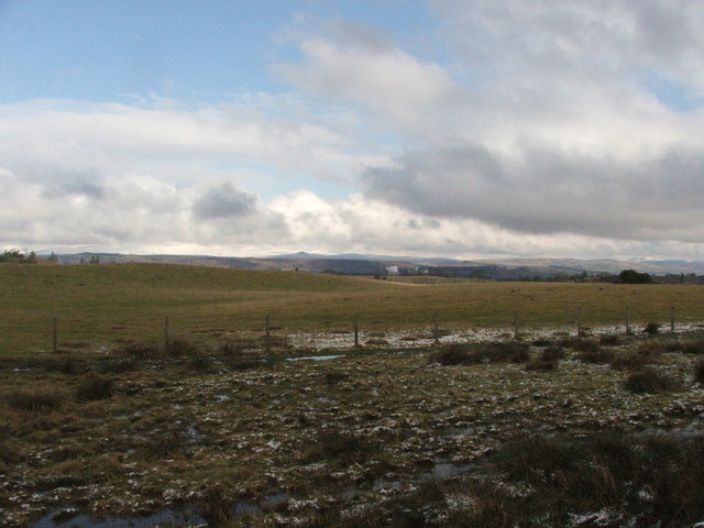
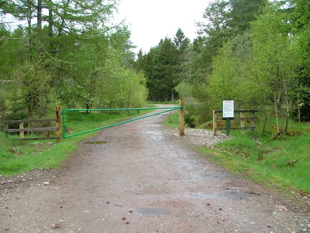
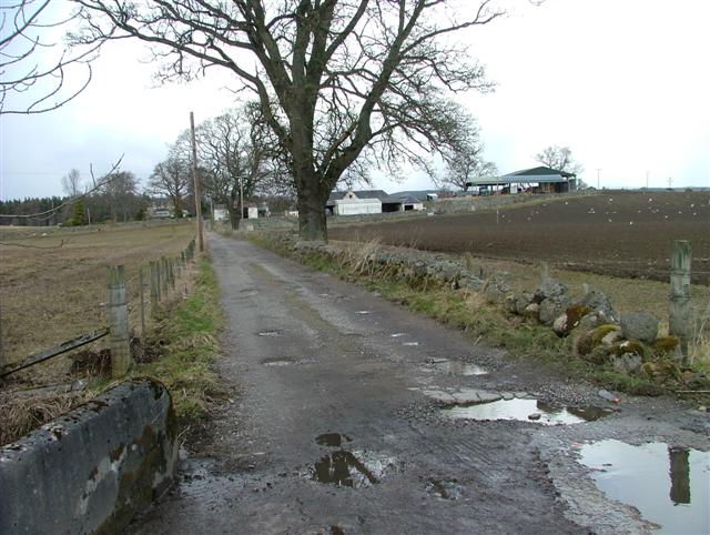
Tenafield Belts, located in Ross-shire, Scotland, is a picturesque woodland area that is renowned for its natural beauty and diverse ecosystem. Covering an expansive area of land, it is a haven for nature enthusiasts and a popular destination for outdoor activities.
The woodland of Tenafield Belts is primarily composed of a mix of deciduous and coniferous trees, creating a rich and vibrant environment. Ancient oaks and beech trees stand tall alongside majestic pines and spruces, providing a diverse habitat for a wide range of plant and animal species. The forest floor is carpeted with a variety of wildflowers, ferns, and mosses, adding to the enchanting atmosphere.
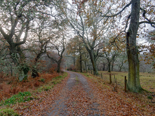
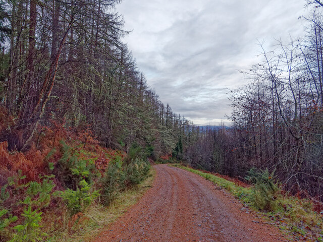
This woodland is not only visually stunning but also offers numerous recreational opportunities. There are well-maintained trails that wind through the forest, allowing visitors to explore the area on foot or by bicycle. The tranquil atmosphere provides an ideal setting for walking, jogging, or simply enjoying a peaceful picnic amidst the natural surroundings.
Tenafield Belts is home to a rich array of wildlife, including various bird species, small mammals, and even red squirrels. Birdwatchers will delight in the chance to spot species such as woodpeckers, owls, and thrushes among the treetops. Nature photographers will find ample opportunities to capture the beauty of the forest, with its stunning vistas and abundant wildlife.
In conclusion, Tenafield Belts in Ross-shire is a stunning woodland area that offers a unique and immersive natural experience. With its diverse flora and fauna, well-maintained trails, and peaceful atmosphere, it is a must-visit destination for those seeking to connect with nature and explore the beauty of the Scottish countryside.
If you have any feedback on the listing, please let us know in the comments section below.
Tenafield Belts Images
Images are sourced within 2km of 57.520286/-4.5024845 or Grid Reference NH5050. Thanks to Geograph Open Source API. All images are credited.


Tenafield Belts is located at Grid Ref: NH5050 (Lat: 57.520286, Lng: -4.5024845)
Unitary Authority: Highland
Police Authority: Highlands and Islands
What 3 Words
///wishes.ramps.restrict. Near Muir of Ord, Highland
Nearby Locations
Related Wikis

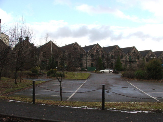
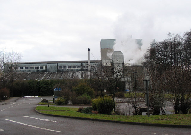
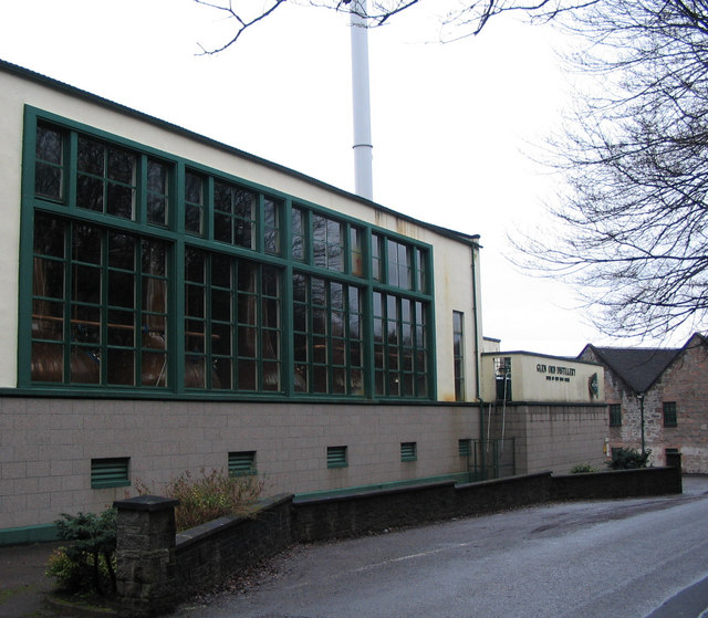
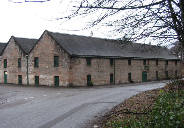
Glen Ord Distillery
Glen Ord distillery is a whisky distillery in the Scottish Highlands and is the only remaining single malt scotch whisky distillery on the Black Isle.Glen...
Urray
Urray (Scottish Gaelic: Urrath) is a scattered village and coastal parish, consisting of Easter, Old and Wester Urray and is located in the county of Ross...

Muir of Ord railway station
Muir of Ord railway station is a railway station on the Kyle of Lochalsh Line and the Far North Line, serving the village of Muir of Ord in the Highland...

Muir of Ord
Muir of Ord (Scottish Gaelic: Am Blàr Dubh) is a village in Easter Ross, in the Highland council area of Scotland. It is situated near the western end...
Nearby Amenities
Located within 500m of 57.520286,-4.5024845Have you been to Tenafield Belts?
Leave your review of Tenafield Belts below (or comments, questions and feedback).