Birks Wood
Wood, Forest in Kirkcudbrightshire
Scotland
Birks Wood
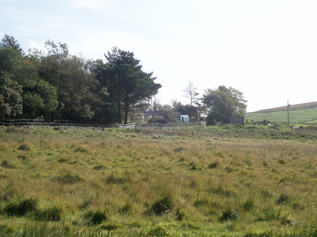
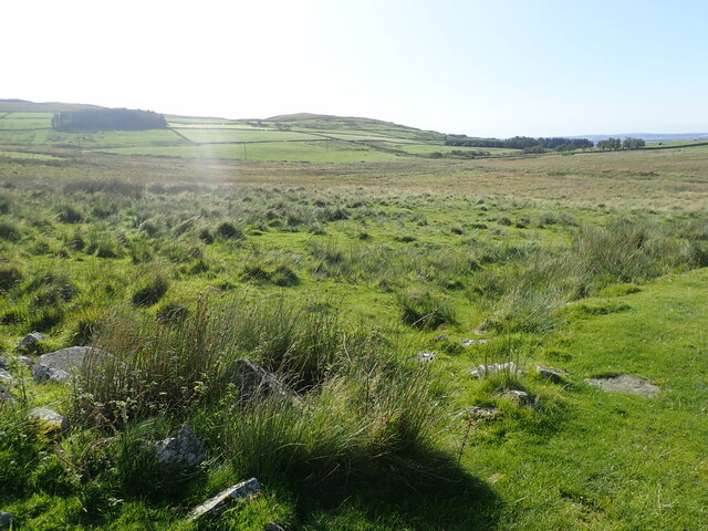
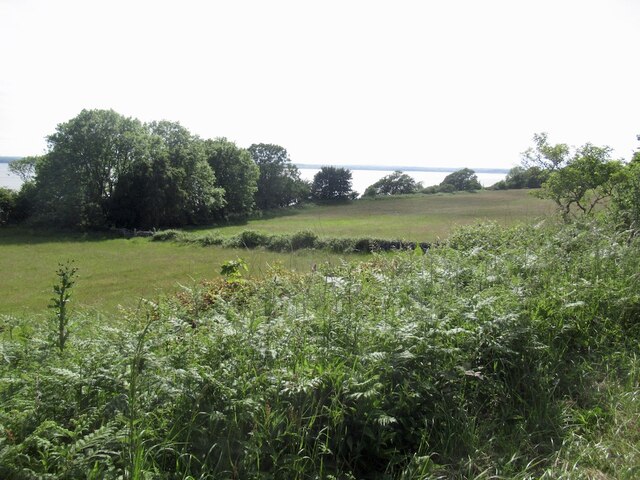
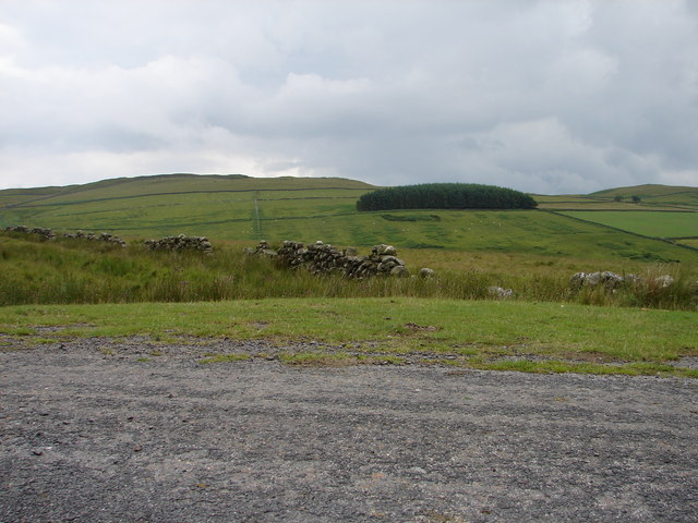
Birks Wood is a beautiful woodland located in the county of Kirkcudbrightshire, Scotland. It covers a vast area of approximately 500 acres and is known for its stunning natural beauty and diverse range of plant and animal species. The wood is situated on a gently sloping hillside, providing visitors with breathtaking views of the surrounding countryside.
The wood is predominantly composed of native broadleaved trees such as oak, beech, and birch, which create a lush and vibrant canopy. These trees provide a habitat for a variety of wildlife, including deer, squirrels, and a wide range of bird species. Additionally, the wood is home to several rare and protected species, making it an important conservation area.
Several walking trails wind their way through Birks Wood, allowing visitors to explore its serene and tranquil atmosphere. The paths are well-maintained and offer varying levels of difficulty to cater to different abilities. Along the trails, visitors can discover enchanting wildflowers, moss-covered rocks, and babbling streams, adding to the wood's charm.
Birks Wood is a popular destination for nature enthusiasts, hikers, and families looking for a peaceful retreat. The wood offers a perfect setting for outdoor activities such as picnicking, birdwatching, or simply enjoying a leisurely stroll amidst nature's splendor.
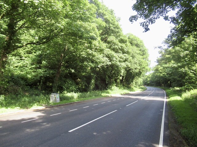
To ensure the preservation of this natural gem, access to Birks Wood is carefully controlled, with designated parking areas and clearly marked boundaries. This helps protect the delicate ecosystem and maintain the wood's pristine condition for generations to come.
If you have any feedback on the listing, please let us know in the comments section below.
Birks Wood Images
Images are sourced within 2km of 54.859806/-4.3419289 or Grid Reference NX4954. Thanks to Geograph Open Source API. All images are credited.


Birks Wood is located at Grid Ref: NX4954 (Lat: 54.859806, Lng: -4.3419289)
Unitary Authority: Dumfries and Galloway
Police Authority: Dumfries and Galloway
What 3 Words
///pads.hotels.contracting. Near Newton Stewart, Dumfries & Galloway
Nearby Locations
Related Wikis

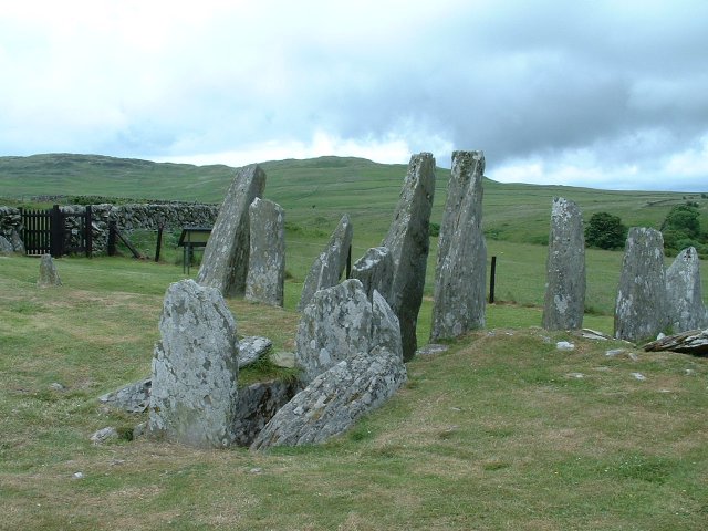
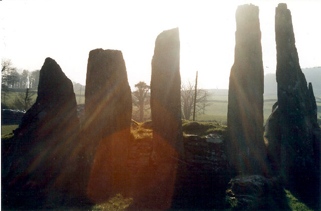
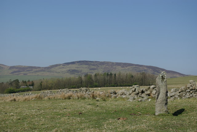
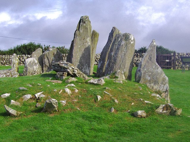
Cairnholy
Cairnholy (or Cairn Holy) is the site of two Neolithic chambered tombs of the Clyde type. It is located 4 kilometres east of the village of Carsluith in...
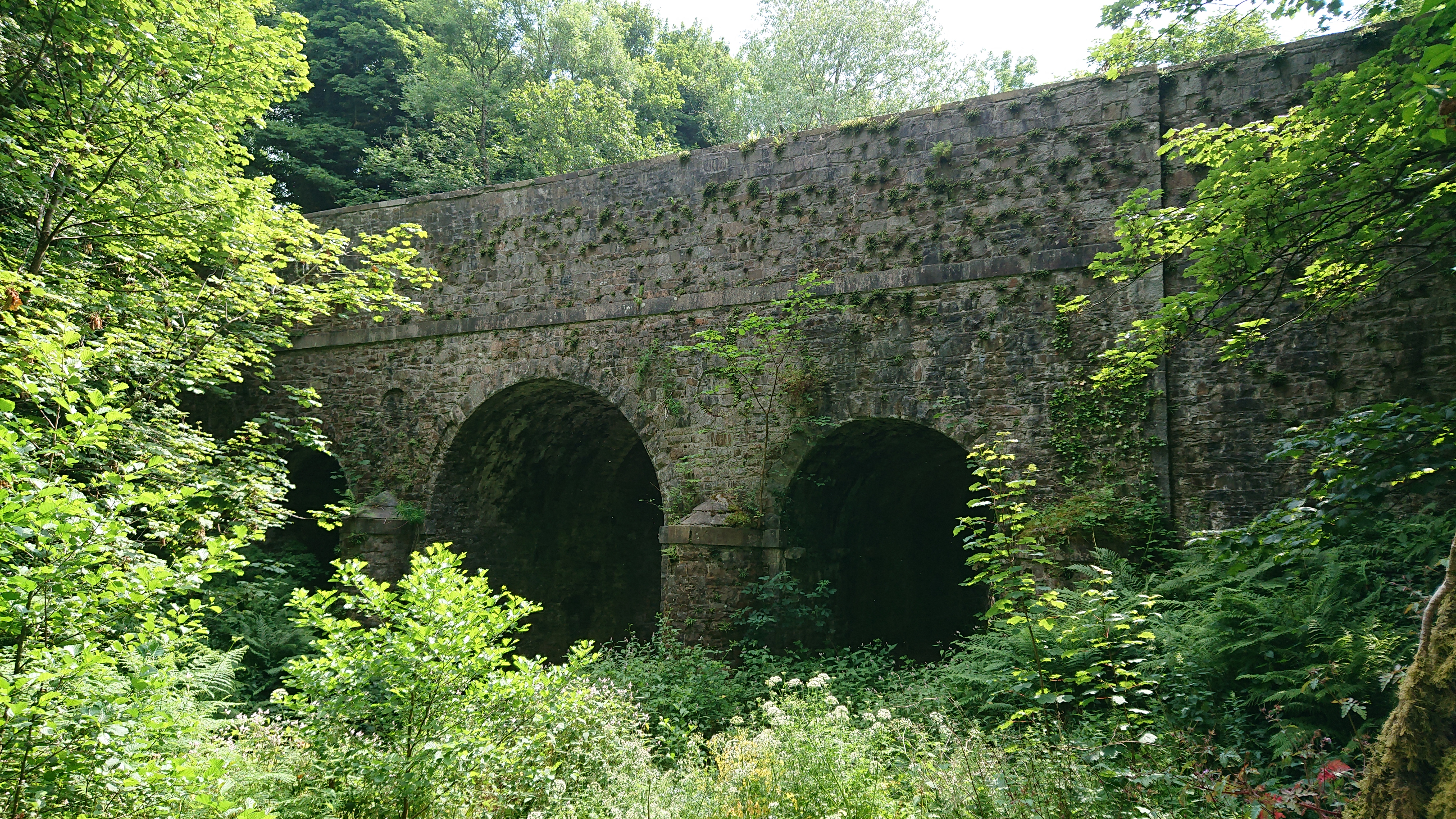
Kirkdale Bridge
Kirkdale Bridge is a bridge over the Kirkdale Burn in the parish of Kirkmabreck, between Gatehouse of Fleet and Creetown in Dumfries and Galloway, Scotland...

Ravenshall Wood
Ravenshall Wood is a Site of Special Scientific Interest, located 5 kilometres east of Creetown in the historic county of Kirkcudbrightshire, Dumfries...

Barholm Castle
Barholm Castle is a tower house located 5 miles (8.0 km) south-west of Gatehouse of Fleet, in Kirkcudbrightshire, Galloway, Scotland. The tower dates back...
Nearby Amenities
Located within 500m of 54.859806,-4.3419289Have you been to Birks Wood?
Leave your review of Birks Wood below (or comments, questions and feedback).