Coill Bheag
Wood, Forest in Inverness-shire
Scotland
Coill Bheag

The requested URL returned error: 429 Too Many Requests
If you have any feedback on the listing, please let us know in the comments section below.
Coill Bheag Images
Images are sourced within 2km of 57.014704/-4.4762317 or Grid Reference NN4994. Thanks to Geograph Open Source API. All images are credited.


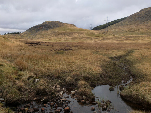


![Downstream along the Spey A view down the Spey with the surfaced road from Garva Bridge to near Melgarve to the left. It was about here that I was flagged down by a motorist heading the opposite way having turned round at the road end. His satnav had sent him this way to reach Fort Augustus and he was anxious to know if I was doing the same. [no] It's a long way back to the A86 and then A82, but slightly less rough.](https://s0.geograph.org.uk/geophotos/07/17/17/7171720_2c1b22f3.jpg)


Coill Bheag is located at Grid Ref: NN4994 (Lat: 57.014704, Lng: -4.4762317)
Unitary Authority: Highland
Police Authority: Highlands and Islands
What 3 Words
///fuss.indicates.scarf. Near Newtonmore, Highland
Nearby Locations
Related Wikis

Kinloch Laggan
Kinloch Laggan (Scottish Gaelic: Ceann Loch Lagain) is a hamlet located at the head of Loch Laggan in Newtonmore, Inverness-shire, Scottish Highlands...

East Highland Way
The East Highland Way (Scottish Gaelic: Slighe Gaidhealtachd an Ear) is a long-distance walking route in Scotland that connects Fort William (56.8178°N...

A86 road
The A86 is a major road in Scotland. It runs from the Great Glen at Spean Bridge to Kingussie and the Cairngorms National Park via Loch Laggan. It is a...
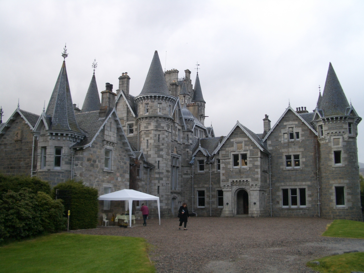
Ardverikie House
Ardverikie House is a 19th-century Scottish baronial house in Kinloch Laggan, Newtonmore, Inverness-shire, Scottish Highlands. The house was made famous...
Have you been to Coill Bheag?
Leave your review of Coill Bheag below (or comments, questions and feedback).