Bad nan Earb
Wood, Forest in Perthshire
Scotland
Bad nan Earb

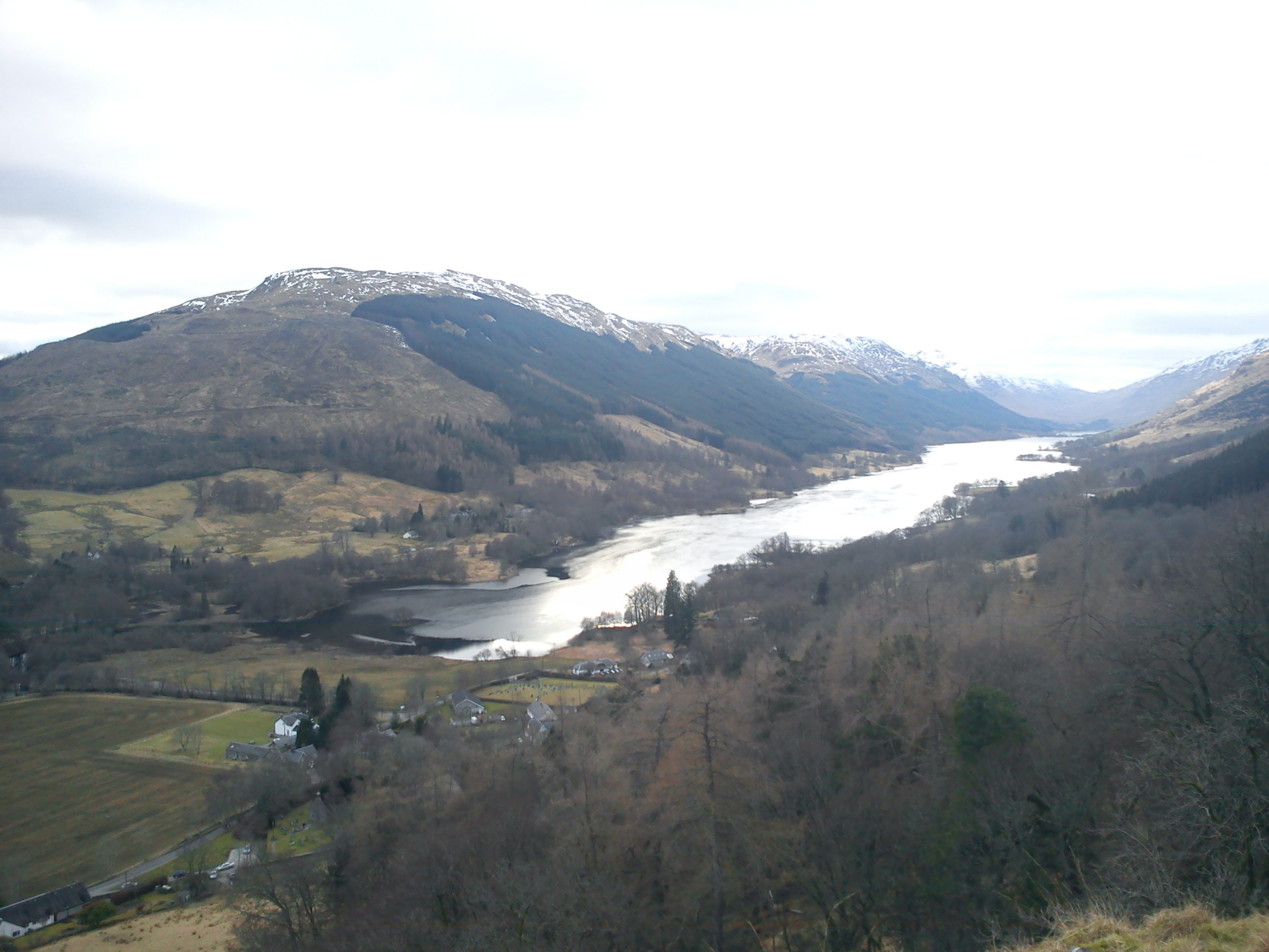
Bad nan Earb is a small village located in the county of Perthshire, Scotland. Situated amidst the lush woodlands and serene forests, this village offers a tranquil and scenic retreat for nature enthusiasts and those seeking a peaceful getaway.
Surrounded by towering trees and dense vegetation, Bad nan Earb is known for its natural beauty and abundant wildlife. The village is situated near the banks of the River Tay, providing picturesque views and opportunities for fishing or leisurely walks along the riverbanks.
The woodlands surrounding Bad nan Earb are home to a diverse range of flora and fauna, making it an ideal destination for nature lovers and birdwatchers. Visitors may have the chance to spot deer, squirrels, and various species of birds while exploring the forest trails.
Despite its small size, Bad nan Earb offers a few amenities for visitors. There is a charming local pub that serves traditional Scottish cuisine and a handful of quaint bed and breakfast accommodations for those wishing to stay overnight. The village also hosts an annual Highland Games event, attracting both locals and tourists alike.
For those seeking outdoor adventure, the nearby forests provide ample opportunities for hiking, mountain biking, and even horseback riding. The enchanting forest trails lead to stunning viewpoints and hidden gems, such as secluded waterfalls and ancient ruins.
In conclusion, Bad nan Earb in Perthshire is a picturesque village nestled within woodlands and forests. Its natural beauty, abundance of wildlife, and outdoor recreational activities make it a captivating destination for nature enthusiasts and those yearning for a peaceful escape.
If you have any feedback on the listing, please let us know in the comments section below.
Bad nan Earb Images
Images are sourced within 2km of 56.348853/-4.446553 or Grid Reference NN4820. Thanks to Geograph Open Source API. All images are credited.


Bad nan Earb is located at Grid Ref: NN4820 (Lat: 56.348853, Lng: -4.446553)
Unitary Authority: Stirling
Police Authority: Forth Valley
What 3 Words
///covers.applies.domain. Near Callander, Stirling
Nearby Locations
Related Wikis
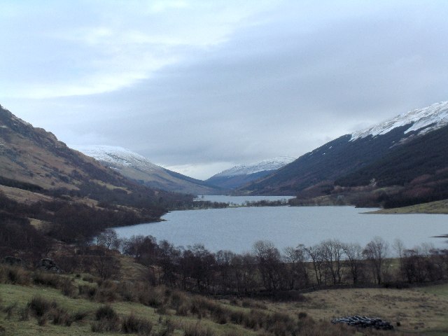
Loch Voil
Loch Voil (Scottish Gaelic: Loch a' Bheothail) is a small freshwater loch that lies to the west of Balquhidder in the Stirling council area of Scotland...
Loch Doine
Loch Doine is a small freshwater loch that lies to the west of Balquhidder in the Trossachs and Teith ward within Stirling council area of Scotland. It...
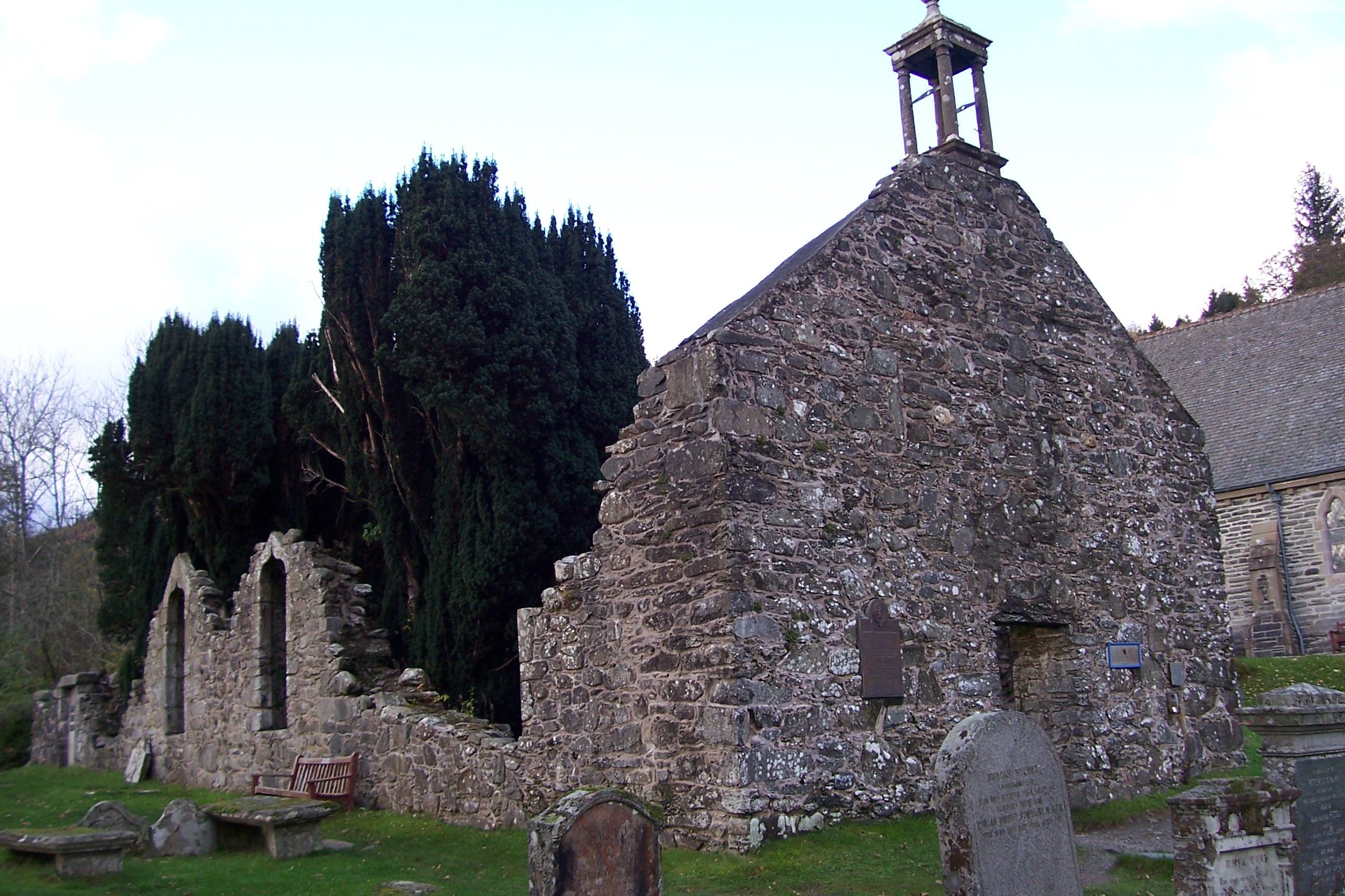
Balquhidder
Balquhidder ( ; Scottish Gaelic: Both Chuidir [ˌpɔˈxutʲɪɾʲ] or Both Phuidir [ˌpɔˈfutʲɪɾʲ]) is a small village in Perthshire located 10 miles (16 km) north...

Crianlarich Hills
The Crianlarich Hills are a large group of mountains in Scotland, running east of Crianlarich and Loch Lomond, south of Strath Fillan and north of Loch...
Nearby Amenities
Located within 500m of 56.348853,-4.446553Have you been to Bad nan Earb?
Leave your review of Bad nan Earb below (or comments, questions and feedback).