Four Acres

Wood, Forest in Inverness-shire

Scotland

Four Acres

B862 between Whitebridge and Fort Augustus
B862 between Whitebridge and Fort Augustus Credit: Steven Brown

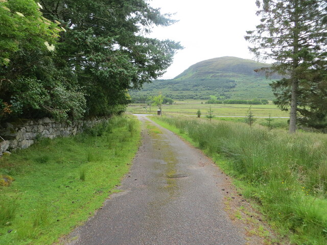
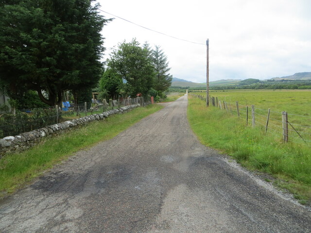
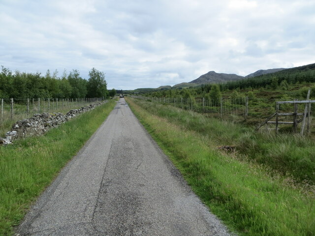
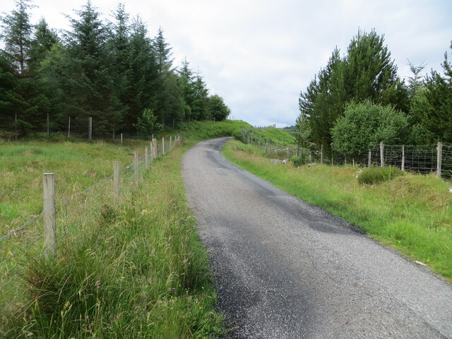
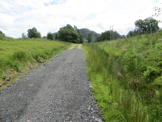
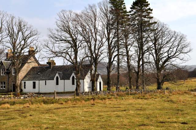
Four Acres is a picturesque wood located in Inverness-shire, Scotland. Situated amidst the stunning landscapes of the Scottish Highlands, this forested area spans approximately four acres, hence its name. The wood is renowned for its natural beauty and tranquil ambiance, attracting both locals and tourists alike.

The dense forest is predominantly composed of a variety of tree species, including oak, birch, and pine, which create a diverse and vibrant ecosystem. The lush undergrowth is adorned with an array of wildflowers, adding splashes of color to the woodland scenery. The forest floor is covered with a carpet of moss, creating a soft and inviting path for visitors to explore.

Four Acres offers a haven for wildlife, serving as a sanctuary for numerous species. Visitors may catch a glimpse of red squirrels scurrying through the treetops or spot various species of birds, such as woodpeckers and owls. The forest is home to a diverse range of flora and fauna, making it an ideal destination for nature enthusiasts and photographers.

Trails wind through the wood, providing visitors with the opportunity to immerse themselves in nature and discover the hidden gems within the forest. The peaceful atmosphere and enchanting surroundings make Four Acres a popular spot for leisurely walks, picnics, and photography sessions.

Whether one seeks solitude, a connection with nature, or simply a break from the hustle and bustle of daily life, Four Acres in Inverness-shire offers a serene retreat that showcases the beauty of Scotland's woodlands.

If you have any feedback on the listing, please let us know in the comments section below.
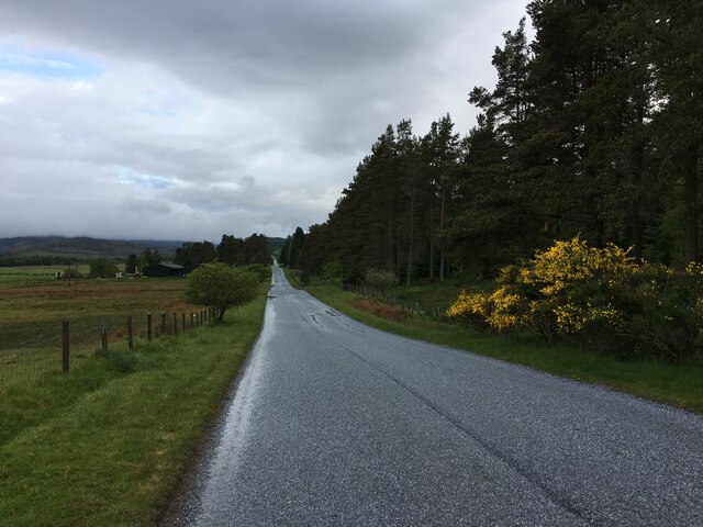
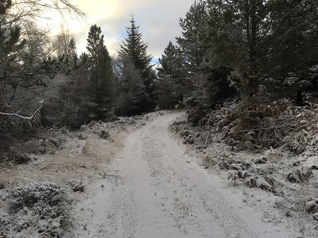
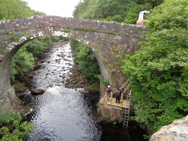
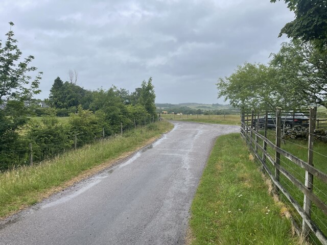
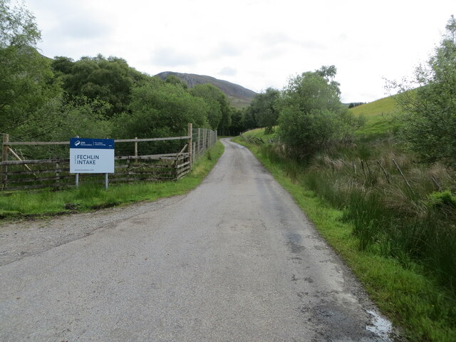
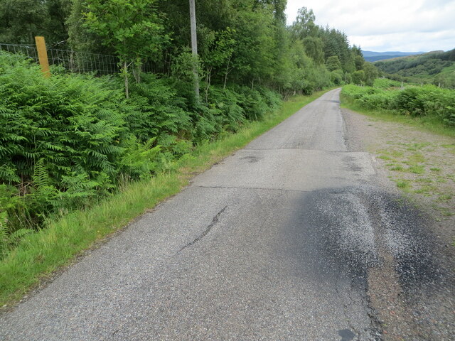
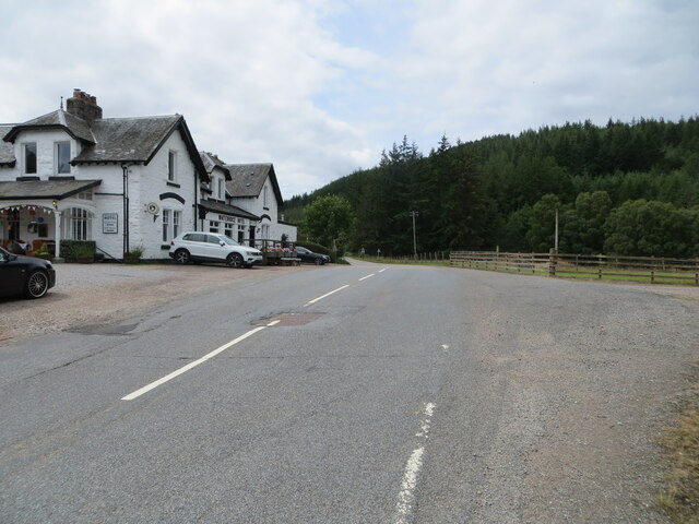
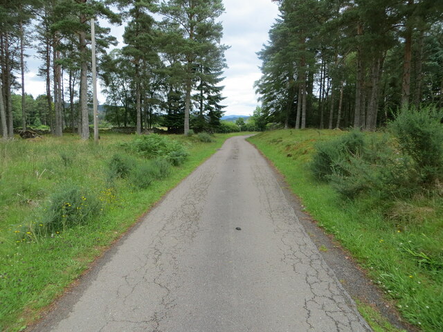
Four Acres Images

Images are sourced within 2km of 57.197746/-4.5103309 or Grid Reference NH4814. Thanks to Geograph Open Source API. All images are credited.

B862 between Whitebridge and Fort Augustus
Forestry road towards Loch Paiteag
Forestry road in Whitebridge Plantation
Wade's bridge Whitebridge Repairs being made to historic Wade Bridge over the River Fechlin
Wade's bridge Whitebridge
Repairs being made to historic Wade Bridge over the River Fechlin
Quiet back road Geocaching is a type of global treasure hunt of people looking for caches, or hidden stashes of objects. Geocaching may also be described as a series of hide-and-seek games, where hiders provide online clues for seekers. Seekers use global positioning system (GPS) devices to find hidden caches
Quiet back road
Geocaching is a type of global treasure hunt of people looking for caches, or hidden stashes of objects. Geocaching may also be described as a series of hide-and-seek games, where hiders provide online clues for seekers. Seekers use global positioning system (GPS) devices to find hidden caches
Track to road (B862) at Easter Drummond Looking south-eastward.
Track to road (B862) at Easter Drummond
Looking south-eastward.
Minor road at Deer View Looking south-westward.
Minor road at Deer View
Looking south-westward.
Minor road near to Killiechoilum Looking north-eastward.
Minor road near to Killiechoilum
Looking north-eastward.
Minor road at Killiechoilum Looking south-westward.
Minor road at Killiechoilum
Looking south-westward.
Field edge footpath Looking north-westward.
This path is used by the South Loch Ness Trail.
Field edge footpath
Looking north-westward. This path is used by the South Loch Ness Trail.
Minor road near to Knockbeg Looking westward.
The entrance on the left gives access to the SSE  Renewable Fechlin Intake.
Minor road near to Knockbeg
Looking westward. The entrance on the left gives access to the SSE Renewable Fechlin Intake.
Minor road with what seems to be a former cattle grid near Meall an Tarsaid Looking north-westward.
Minor road with what seems to be a former cattle grid near Meall an Tarsaid
Looking north-westward.
Road (B862) at Whitebridge Hotel Looking south-westward.
Road (B862) at Whitebridge Hotel
Looking south-westward.
Minor road approaching Dell Lodge Looking north-eastward.
Minor road approaching Dell Lodge
Looking north-eastward.
Track giving access to Loch nan Losganan and Paddockfield Looking south-eastward.
Track giving access to Loch nan Losganan and Paddockfield
Looking south-eastward.
Ordnance Survey Flush Bracket G4053 This Bracket can be found on a building at Easter Drummond.
The recorded details give a height of 222.2213 metres above sea level.
For more detail see : <span class="nowrap"><a title="https://www.bench-marks.org.uk/bm18615" rel="nofollow ugc noopener" href="https://www.bench-marks.org.uk/bm18615">Link</a><img style="margin-left:2px;" alt="External link" title="External link - shift click to open in new window" src="https://s1.geograph.org.uk/img/external.png" width="10" height="10"/></span>
Ordnance Survey Flush Bracket G4053
This Bracket can be found on a building at Easter Drummond. The recorded details give a height of 222.2213 metres above sea level. For more detail see : LinkExternal link
Ordnance Survey Flush Bracket  G4054 This Bracket can be found on the wall of Whitebridge Hotel.
The recorded details give a height of 197.8258 metres above sea level.
For more detail see <span class="nowrap"><a title="https://www.bench-marks.org.uk/bm18616" rel="nofollow ugc noopener" href="https://www.bench-marks.org.uk/bm18616">Link</a><img style="margin-left:2px;" alt="External link" title="External link - shift click to open in new window" src="https://s1.geograph.org.uk/img/external.png" width="10" height="10"/></span>
Ordnance Survey Flush Bracket G4054
This Bracket can be found on the wall of Whitebridge Hotel. The recorded details give a height of 197.8258 metres above sea level. For more detail see LinkExternal link
Ordnance Survey Cut Mark with Rivet This mark and rivet can be found on top of the parapet wall of the 'old' White Bridge at Whitebridge,
The recorded details give a height of 187.6745 metres above sea level.
For more details see : <span class="nowrap"><a title="https://www.bench-marks.org.uk/bm61708" rel="nofollow ugc noopener" href="https://www.bench-marks.org.uk/bm61708">Link</a><img style="margin-left:2px;" alt="External link" title="External link - shift click to open in new window" src="https://s1.geograph.org.uk/img/external.png" width="10" height="10"/></span>
Ordnance Survey Cut Mark with Rivet
This mark and rivet can be found on top of the parapet wall of the 'old' White Bridge at Whitebridge, The recorded details give a height of 187.6745 metres above sea level. For more details see : LinkExternal link
Show me another place!

Four Acres is located at Grid Ref: NH4814 (Lat: 57.197746, Lng: -4.5103309)

Unitary Authority: Highland

Police Authority: Highlands and Islands

What 3 Words

///anguished.bouncing.aviators. Near Drumnadrochit, Highland

Related Wikis

Whitebridge, Scotland

Whitebridge (Scottish Gaelic: An Drochaid Bhàn) is a small village on the southwest side of Loch Ness in northern Scotland. == Geography == It is roughly...

Immaculate Conception Parish Church, Stratherrick

Immaculate Conception Church, Stratherrick is in the Dalcrag area of Whitebridge, Inverness-shire, in the Highlands of Scotland and is a part of the Roman...

River E

The River E is a river in the Highlands of Scotland. It begins in the north-west of the Monadh Liath, to the south-east of Loch Ness. It runs in a north...

River Moriston

The River Moriston (Scottish Gaelic: Abhainn Mhoireastain) is a river in Inverness-shire, Scotland. It flows broadly east-north-east from the outfall of...

Nearby Amenities

Located within 500m of 57.197746,-4.5103309
Power: pole
Lat/Long: 57.1954505/-4.5172438
Power: pole
Lat/Long: 57.1967653/-4.5109811
Power: pole
Lat/Long: 57.1996488/-4.5047018
Power: pole
Lat/Long: 57.1958898/-4.5151199
Power: pole
Lat/Long: 57.1971898/-4.5089439
Power: pole
Lat/Long: 57.1956991/-4.5041989
Power: pole
Lat/Long: 57.1960321/-4.5052513
Power: pole
Lat/Long: 57.1963625/-4.5063015
Power: pole
Lat/Long: 57.1966809/-4.5073159
Power: pole
Lat/Long: 57.1946774/-4.5052021
The data included in this document is from www.openstreetmap.org. The data is made available under ODbL.

Have you been to Four Acres?

Leave your review of Four Acres below (or comments, questions and feedback).