Buchanan Forest

Wood, Forest in Stirlingshire

Scotland

Buchanan Forest

Blairfad Farm buildings, seen from the southwest (zoomed image).
Blairfad Credit: Richard Sutcliffe

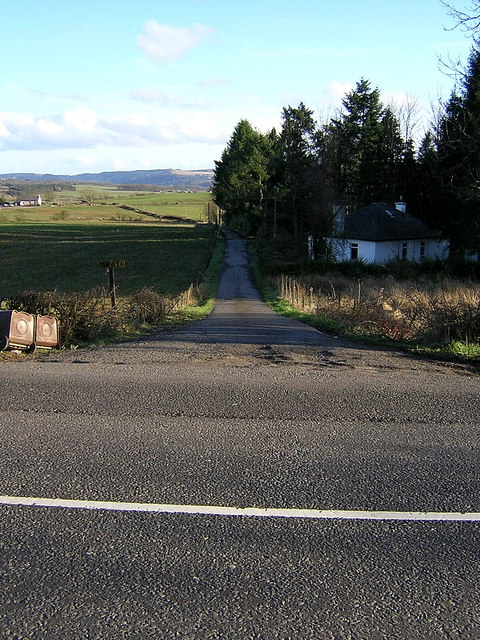
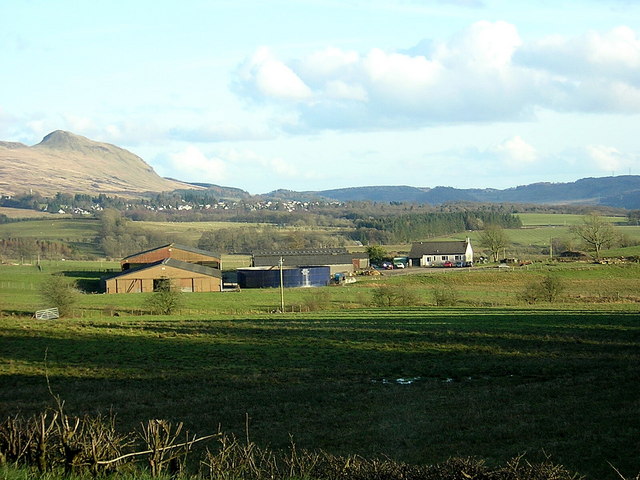
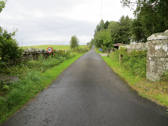
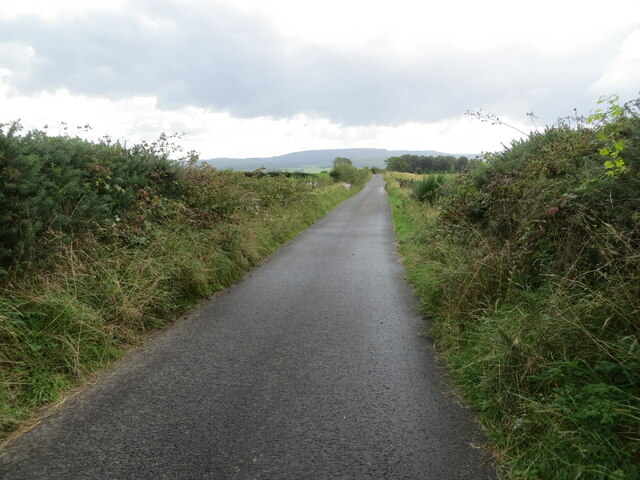
Buchanan Forest is a picturesque woodland located in Stirlingshire, Scotland. Covering an area of approximately 300 acres, it is situated near the village of Killearn, within the Loch Lomond and The Trossachs National Park.

The forest is a haven for nature enthusiasts, offering a diverse range of flora and fauna. It primarily consists of native Scottish tree species, such as oak, birch, and rowan, which create a beautiful and serene atmosphere. The forest floor is carpeted with a variety of wildflowers in the spring and summer months, adding vibrant colors to the landscape.

The forest is crisscrossed by a network of well-maintained trails, making it an ideal destination for walkers and hikers. Visitors can explore the forest at their own pace, immersing themselves in the tranquil surroundings and enjoying the peacefulness that nature provides. The trails vary in difficulty, catering to both casual strollers and more experienced hikers.

Buchanan Forest is also known for its rich wildlife. Birdwatchers can spot various species, including woodpeckers, buzzards, and owls, while mammal enthusiasts may have the chance to see red squirrels, deer, and even pine martens. The forest provides a vital habitat for these creatures, contributing to the biodiversity of the area.

Overall, Buchanan Forest offers a wonderful opportunity to escape the hustle and bustle of everyday life and reconnect with nature. Whether it's a leisurely walk, a challenging hike, or simply a peaceful retreat, this woodland sanctuary has something to offer for everyone.

If you have any feedback on the listing, please let us know in the comments section below.

Buchanan Forest Images

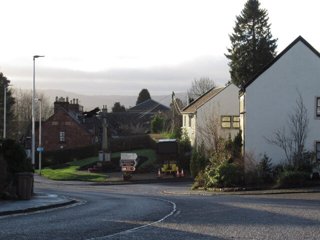
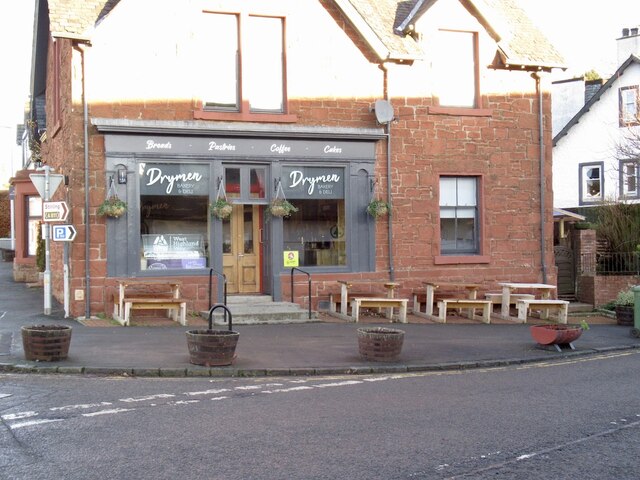
Images are sourced within 2km of 56.07322/-4.4367806 or Grid Reference NS4889. Thanks to Geograph Open Source API. All images are credited.

Blairfad Farm buildings, seen from the southwest (zoomed image).
Blairfad
Farm buildings, seen from the southwest (zoomed image).
Track through Garadhban Forest Looking north-westward, This section of track is used by the West Highland Way Path.
Track through Garadhban Forest
Looking north-westward, This section of track is used by the West Highland Way Path.
Forest track through High Wood Looking south-eastward. This section of track is used by the West Highland Way Path.
Forest track through High Wood
Looking south-eastward. This section of track is used by the West Highland Way Path.
Minor road near Drymen
Road End at Lednabra Road also leads to Cairnlea
Road End at Lednabra
Road also leads to Cairnlea
Cairnlea Cairnlea viewed from A811 with Killearn and Dumgoyne in the background
Cairnlea
Cairnlea viewed from A811 with Killearn and Dumgoyne in the background
Old milestone This shows the left side of the red sandstone milestone in the wall opposite the Buchanan Arms in Drymen.  A very worn 22 can just be made out which is the mileage to Stirling.  It is marked on the 1776 Taylor & Skinner map 1776 and is on the route of the Old Military Road built by Major William Caufeild 1765-97
Old milestone
This shows the left side of the red sandstone milestone in the wall opposite the Buchanan Arms in Drymen. A very worn 22 can just be made out which is the mileage to Stirling. It is marked on the 1776 Taylor & Skinner map 1776 and is on the route of the Old Military Road built by Major William Caufeild 1765-97
Old milestone This shows the right face of the red sandstone milestone in the wall opposite the Buchanan Arms in Drymen. A faint 12 can be made out which is the distance to Dumbarton.  There is a similar stone on the A811 in West Dunbartonshire at <a href="https://www.geograph.org.uk/gridref/NS+4148+8525">NS 4148 8525</a>.
Old milestone
This shows the right face of the red sandstone milestone in the wall opposite the Buchanan Arms in Drymen. A faint 12 can be made out which is the distance to Dumbarton. There is a similar stone on the A811 in West Dunbartonshire at NS 4148 8525.
Drumbeg trig pillar hiding amongst the gorse
Drymen View south towards the Balmaha turning where there is a big variable message sign with a couple of the usual parkspeak hectoring messages referring to parking responsibly and generally not trashing the place.
Drymen
View south towards the Balmaha turning where there is a big variable message sign with a couple of the usual parkspeak hectoring messages referring to parking responsibly and generally not trashing the place.
Cafe, Drymen Once a bike shop.
Cafe, Drymen
Once a bike shop.
The Village Hub, Drymen Village shop selling local produce and zero-waste products
The Village Hub, Drymen
Village shop selling local produce and zero-waste products
The Winnock Hotel, Drymen
Track giving access to Coldrach Looking north-westward.
Track giving access to Coldrach
Looking north-westward.
Gartness Road near Gateside House Looking north-westward. This section or road is used by the West Highland Way Path.
Gartness Road near Gateside House
Looking north-westward. This section or road is used by the West Highland Way Path.
Gartness Road at the hedge hidden Dumbeg Triangulation Pillar Looking southward. This section of road is used by the West Highland Way Path.
Gartness Road at the hedge hidden Dumbeg Triangulation Pillar
Looking southward. This section of road is used by the West Highland Way Path.
Minor road near to Gartacharn Looking northward.
Minor road near to Gartacharn
Looking northward.
Access track to Blairoer Farm Looking south-westward.
Access track to Blairoer Farm
Looking south-westward.
Show me another place!

Buchanan Forest is located at Grid Ref: NS4889 (Lat: 56.07322, Lng: -4.4367806)

Unitary Authority: Stirling

Police Authority: Forth Valley

What 3 Words

///props.list.consults. Near Killearn, Stirling

Nearby Locations

Buchanan Forest

Related Wikis

Drymen

Drymen (; from Scottish Gaelic: Druiminn [ˈt̪ɾɯmɪɲ]) is a village in the Stirling district of central Scotland. Once a popular stopping place for cattle...

Drumquhassle

Drumquhassle was a Roman fort associated with the Gask Ridge in Scotland. It was found from aerial photography in the late 1970s. The name selected for...

Buchanan Smithy

Buchanan Smithy is a hamlet in Buchanan in the far west of Stirling, Scotland. The current settlement was mostly purpose-built in the 18th century for...

Buchanan Castle

Buchanan Castle is a ruined castle in Stirlingshire, Scotland, located 1 mile (1.6 km) west of the village of Drymen. The house was commissioned by The...

Nearby Amenities

Located within 500m of 56.07322,-4.4367806
Ford: yes
Lat/Long: 56.0741509/-4.4411859
Power: pole
Lat/Long: 56.0691071/-4.4349262
Power: pole
Lat/Long: 56.0693114/-4.4397623
Power: pole
Lat/Long: 56.0701847/-4.4400531
Power: pole
Lat/Long: 56.0710674/-4.4403292
Power: pole
Lat/Long: 56.0719477/-4.4406011
Power: pole
Lat/Long: 56.0726039/-4.44085
Power: pole
Lat/Long: 56.0727872/-4.440919
Power: pole
Lat/Long: 56.0731012/-4.4421992
Power: pole
Lat/Long: 56.0734059/-4.4435233
Power: pole
Lat/Long: 56.0735273/-4.4439855
Ford: yes
Lat/Long: 56.0737134/-4.4412804
The data included in this document is from www.openstreetmap.org. The data is made available under ODbL.

Have you been to Buchanan Forest?

Leave your review of Buchanan Forest below (or comments, questions and feedback).