Abbey Wood
Wood, Forest in Kirkcudbrightshire
Scotland
Abbey Wood
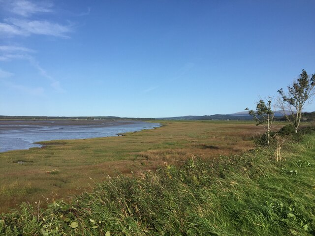
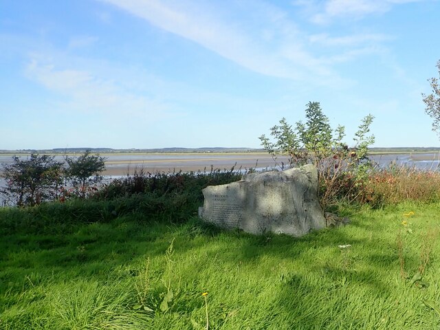
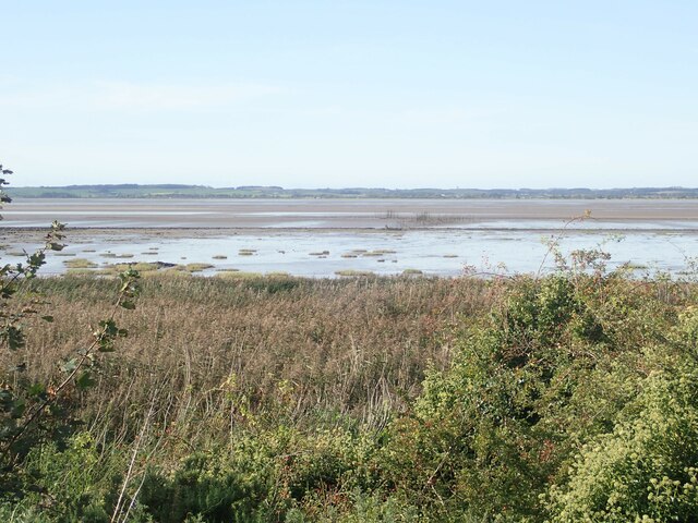
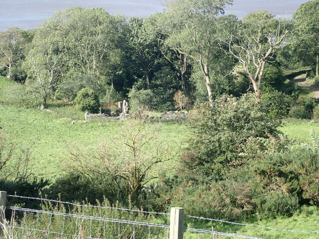
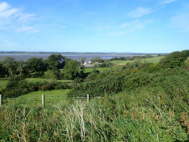
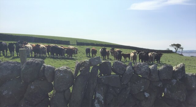
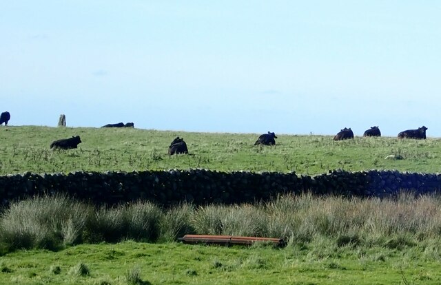
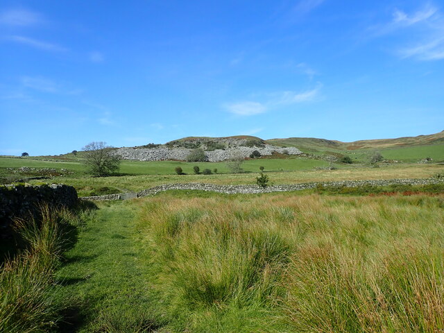
Abbey Wood, located in Kirkcudbrightshire, Scotland, is a picturesque woodland area known for its natural beauty and historical significance. Spanning over a vast area, the woodland is characterized by its dense trees, lush vegetation, and tranquil atmosphere.
The wood is home to a diverse range of tree species, including oak, beech, and birch, which create a rich tapestry of colors during the autumn months. This provides a stunning backdrop for nature enthusiasts and photographers alike, who visit the wood to capture its beauty.
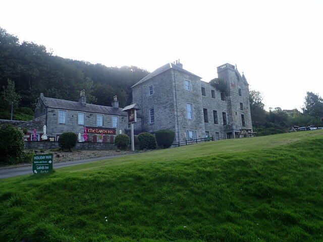
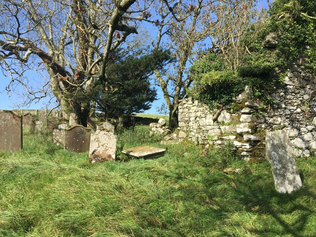
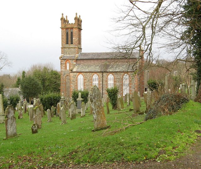
Historically, Abbey Wood holds great importance as the site of Sweetheart Abbey, a Cistercian monastery founded in 1273. The remains of the abbey still stand today, adding a touch of history and intrigue to the wood. The area is also said to have been a significant location during the Roman occupation of Scotland, with remnants of ancient Roman roads and fortifications still visible in the surrounding landscape.
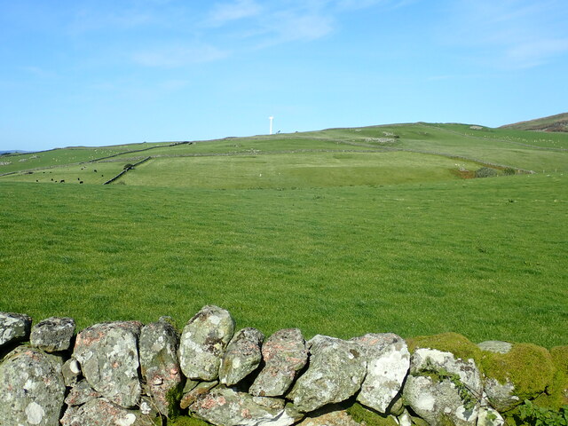
Visitors to Abbey Wood can enjoy a variety of activities, including walking trails that wind through the woodland, allowing for exploration of its natural wonders. The wood also provides a habitat for various wildlife species, making it a popular spot for birdwatching and nature observation.
Overall, Abbey Wood in Kirkcudbrightshire offers a peaceful retreat for those seeking solace in nature, as well as a chance to delve into the region's rich history. Its combination of ancient ruins, diverse flora, and tranquil ambiance make it a must-visit destination for nature lovers and history enthusiasts alike.
If you have any feedback on the listing, please let us know in the comments section below.
Abbey Wood Images
Images are sourced within 2km of 54.881851/-4.3740936 or Grid Reference NX4756. Thanks to Geograph Open Source API. All images are credited.


Abbey Wood is located at Grid Ref: NX4756 (Lat: 54.881851, Lng: -4.3740936)
Unitary Authority: Dumfries and Galloway
Police Authority: Dumfries and Galloway
What 3 Words
///blubber.photocopy.yoga. Near Newton Stewart, Dumfries & Galloway
Nearby Locations
Related Wikis

Creetown F.C.
Creetown Football Club are a football club based in Creetown in the Dumfries and Galloway area of Scotland. Formed in 1905 as Creetown Rifle Volunteers...
Kirkmabreck
Kirkmabreck is a civil parish in the historic county of Kirkcudbrightshire in the Dumfries and Galloway council area, Scotland. Situated in the historic...

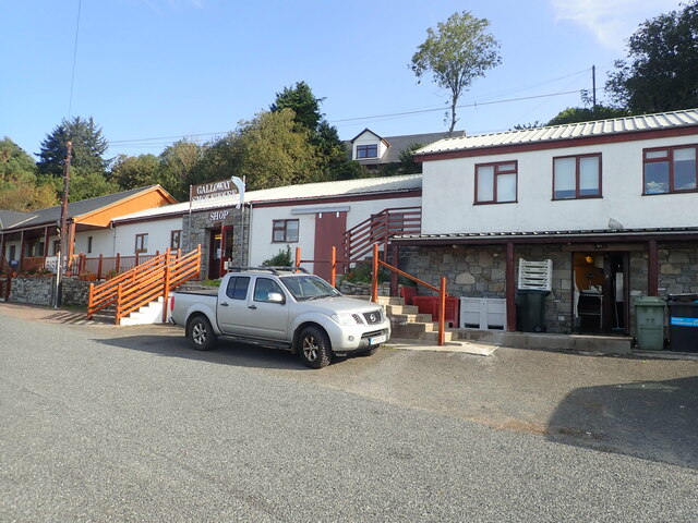
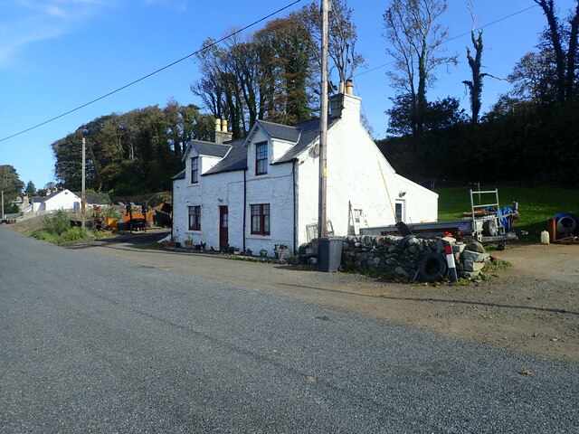
Creetown
Creetown (/ˈkri:tən/, sometimes /'kri:taʊn/) is a small seaside town in the Stewartry of Kirkcudbright, in Galloway in the Dumfries and Galloway council...

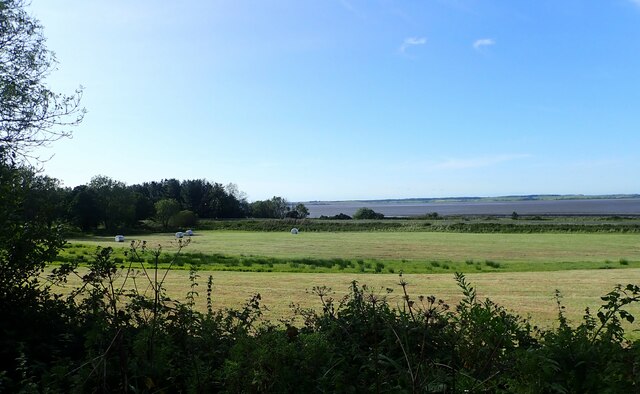
River Bladnoch
The Bladnoch is a river in Wigtownshire in the Machars of Galloway in southwest Scotland. One of the earliest descriptions of it is given by Sir Andrew...

Creetown railway station
Creetown railway station served the town of Creetown, Dumfries and Galloway, Scotland from 1861 to 1965 on the Portpatrick and Wigtownshire Joint Railway...

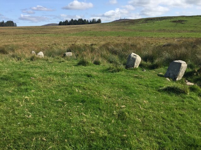
Glenquicken stone circle
Glenquicken stone circle or Billy Diamond's Bridge stone circle (grid reference NX50965821) is an oval stone circle with a central pillar, two miles east...

River Cree
The River Cree is a river in Dumfries and Galloway, Scotland which runs through Newton Stewart and into the Solway Firth. It forms part of the boundary...

Wigtown
Wigtown ( (both used locally); Scottish Gaelic: Baile na h-Ùige) is a town and former royal burgh in Wigtownshire, of which it is the county town, within...
Nearby Amenities
Located within 500m of 54.881851,-4.3740936Have you been to Abbey Wood?
Leave your review of Abbey Wood below (or comments, questions and feedback).