Craig Wood
Wood, Forest in Renfrewshire
Scotland
Craig Wood
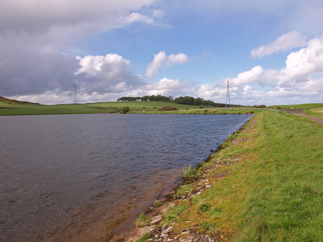
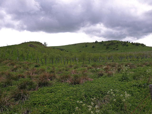
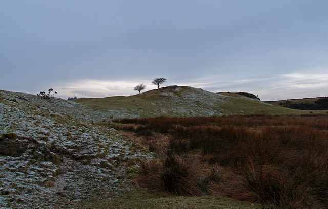
Craig Wood is a picturesque forest located in Renfrewshire, Scotland. Covering an area of approximately 2.5 square miles, this woodland is a popular destination for nature enthusiasts and outdoor enthusiasts alike.
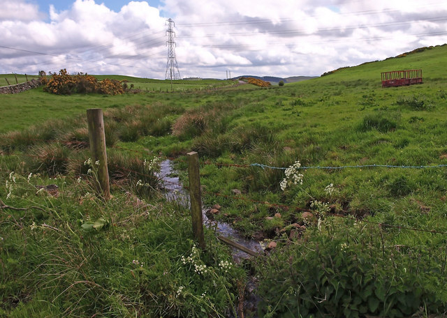
The woodland is characterized by its diverse range of flora and fauna, offering visitors a unique opportunity to experience the natural beauty of the Scottish countryside. The forest is predominantly composed of native tree species such as oak, birch, and rowan, creating a vibrant and colorful landscape throughout the year.
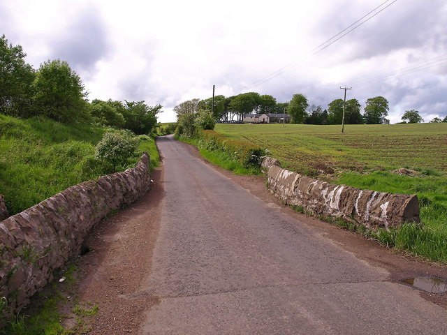
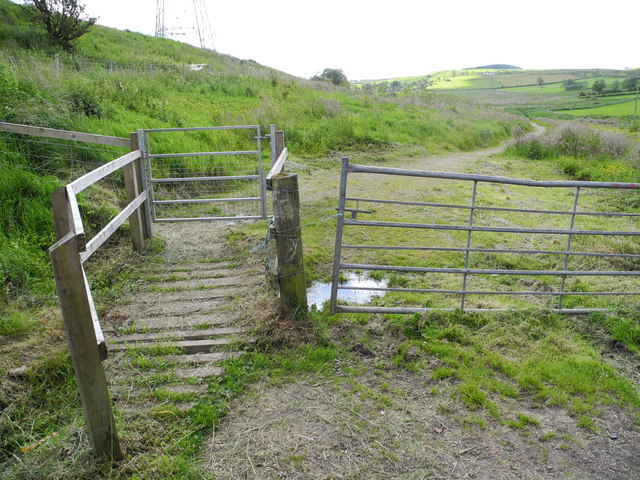
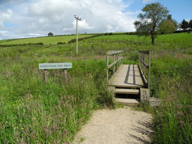
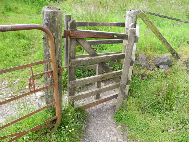
Craig Wood is crisscrossed by a network of well-maintained trails, making it an ideal location for hiking, walking, and cycling. These paths offer visitors the chance to explore the forest at their own pace, with various routes catering to different levels of difficulty and fitness.
Wildlife enthusiasts will be delighted by the abundance of animal species that call Craig Wood home. Red squirrels, roe deer, and a variety of bird species can often be spotted among the trees, providing a unique opportunity for wildlife observation and photography.
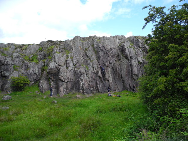
The forest is also home to several historical and cultural landmarks, including the remains of an Iron Age fort and a burial cairn. These ancient sites offer a glimpse into the rich history of the area, adding an extra layer of intrigue to a visit to Craig Wood.
Overall, Craig Wood in Renfrewshire is a captivating natural haven, offering visitors a chance to immerse themselves in the beauty of Scotland's woodlands while enjoying various outdoor activities and exploring its rich history.
If you have any feedback on the listing, please let us know in the comments section below.
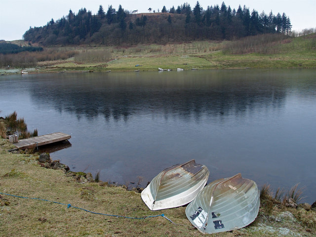
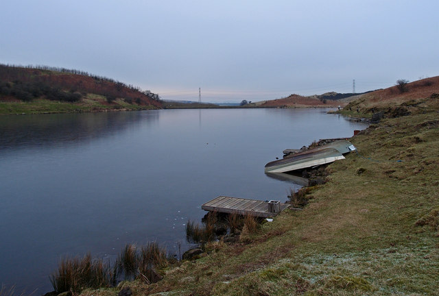
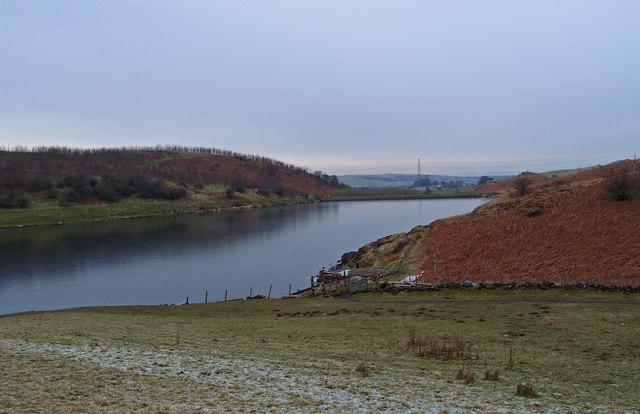
Craig Wood Images
Images are sourced within 2km of 55.771739/-4.4305389 or Grid Reference NS4755. Thanks to Geograph Open Source API. All images are credited.

Craig Wood is located at Grid Ref: NS4755 (Lat: 55.771739, Lng: -4.4305389)
Unitary Authority: East Renfrewshire
Police Authority: Greater Glasgow
What 3 Words
///conforms.choirs.wounds. Near Neilston, East Renfrewshire
Nearby Locations
Related Wikis

Neilston Pad
Neilston Pad, referred to locally as The Pad, is a distinctive hill in East Renfrewshire, situated a mile (1.5 km) south of the village of Neilston. Its...

Craighall Reservoir
Craighall Reservoir, known locally as Craighall Dam, is one of a number of small reservoirs, situated around Neilston in East Renfrewshire, Scotland. The...

Neilston F.C.
Neilston Football Club are a Scottish football club based in Neilston, East Renfrewshire who currently play in the West of Scotland League First Division...
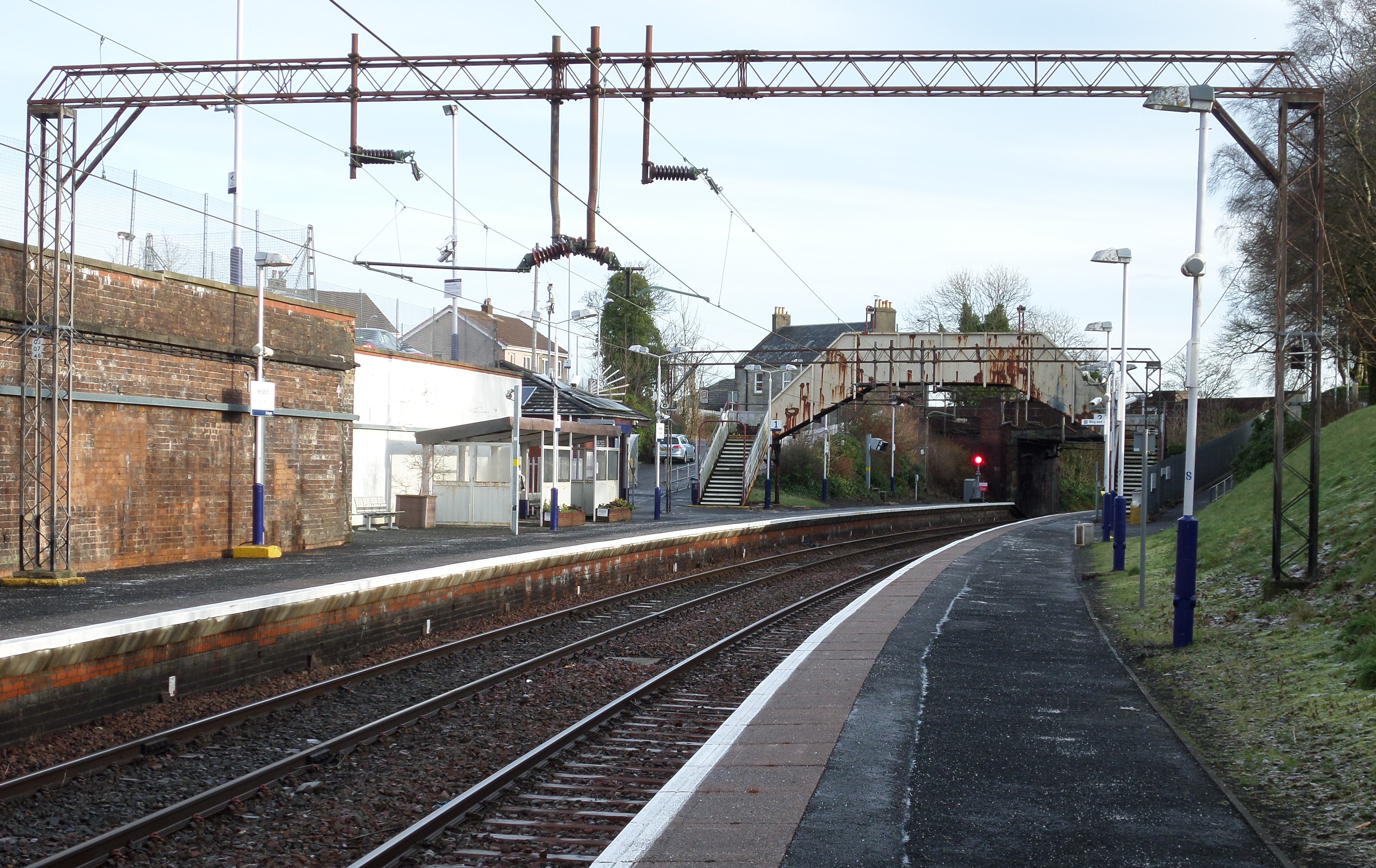
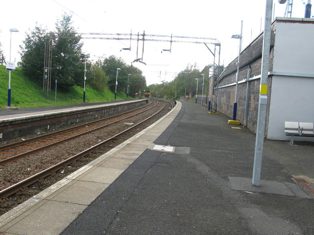
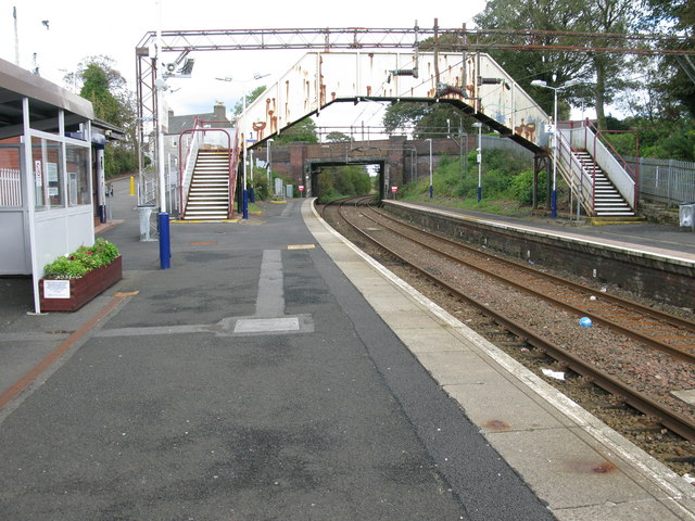
Neilston railway station
Neilston railway station is a railway station in the village of Neilston, East Renfrewshire, Greater Glasgow, Scotland. The station is managed by ScotRail...
Related Videos

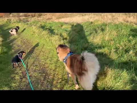
Pinewood dog walking up at the pad Neilston
A beautiful morning for a walk up the Pad. Bird watching today as well as dog walking.

Kilmarnock Ramblers, Harelaw Loch & Neilston Pads, Nr Neilston, Nov 26th 2023
After the sunshine of yesterday, today brings overcast and cold and misty weather. But no rain so we had a good days walking.

Nearby Amenities
Located within 500m of 55.771739,-4.4305389Have you been to Craig Wood?
Leave your review of Craig Wood below (or comments, questions and feedback).