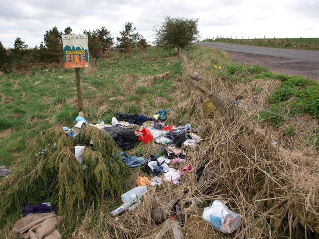
Dingle Bog
Coastal Marsh, Saltings in Renfrewshire
Scotland
Dingle Bog
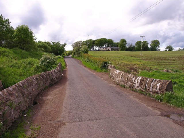
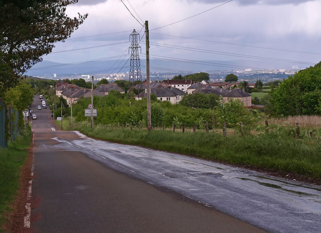
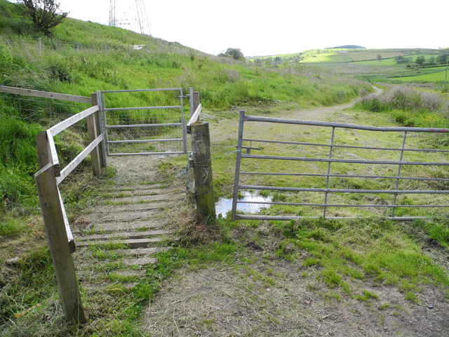
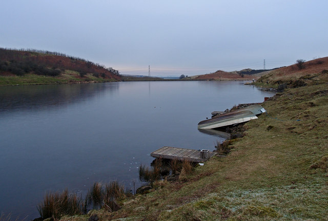
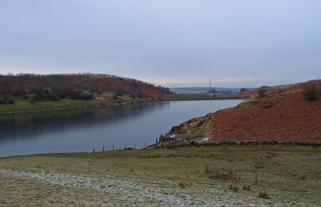
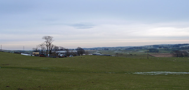
Dingle Bog is a coastal marsh located in Renfrewshire, Scotland. It is situated on the western coast of the country, near the town of Kilbarchan. Spanning an area of approximately 50 hectares, Dingle Bog is a significant wetland ecosystem, characterized by its diverse flora and fauna.
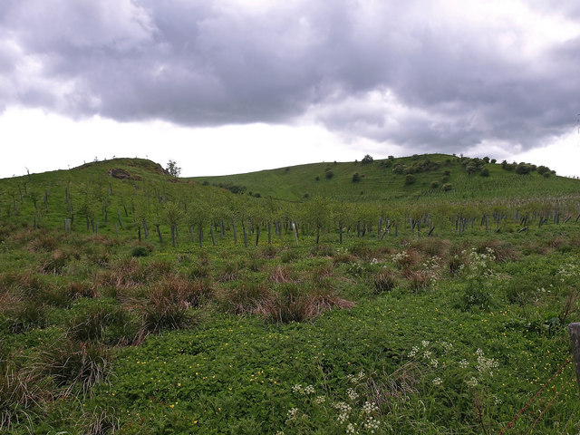
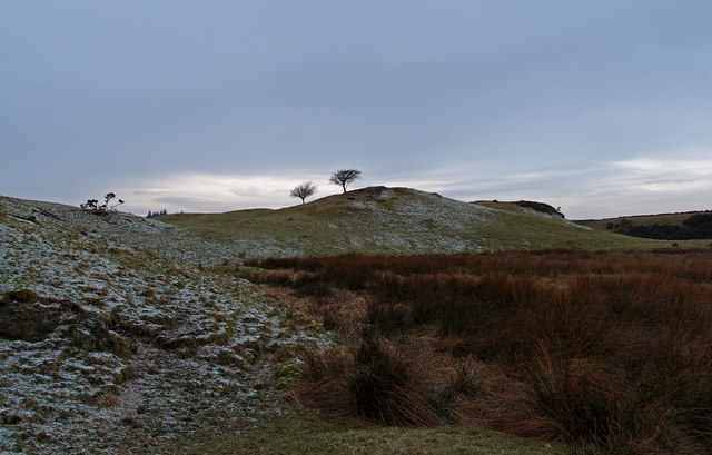
The bog is mainly composed of peat, which accumulates over time due to the slow decomposition of plant material. This unique soil composition creates a highly acidic environment, making it a suitable habitat for a variety of specialized plant species. Some of the notable vegetation found in Dingle Bog includes sphagnum mosses, heather, cotton grass, and bog myrtle.
The wetland's proximity to the coast allows for a mix of freshwater and brackish water conditions, resulting in a rich and dynamic ecosystem. Dingle Bog provides an essential habitat for numerous bird species, such as curlew, lapwing, and snipe, which rely on the marsh for nesting and feeding. It is also a designated site of special scientific interest (SSSI) due to its importance for wetland conservation.
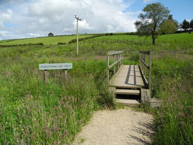
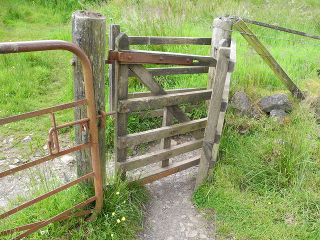
Visitors to Dingle Bog can enjoy a peaceful atmosphere while exploring the boardwalks and trails that wind through the marsh. The wetland is a popular spot for birdwatching and nature photography, offering opportunities to observe a wide variety of wildlife in their natural habitat.
Overall, Dingle Bog in Renfrewshire serves as an important ecological site, contributing to the conservation of wetland ecosystems and providing a valuable recreational space for both locals and visitors.
If you have any feedback on the listing, please let us know in the comments section below.
Dingle Bog Images
Images are sourced within 2km of 55.77125/-4.4380025 or Grid Reference NS4755. Thanks to Geograph Open Source API. All images are credited.

Dingle Bog is located at Grid Ref: NS4755 (Lat: 55.77125, Lng: -4.4380025)
Unitary Authority: East Renfrewshire
Police Authority: Greater Glasgow
What 3 Words
///ticket.regulates.befitting. Near Neilston, East Renfrewshire
Nearby Locations
Related Wikis

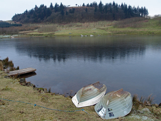
Craighall Reservoir
Craighall Reservoir, known locally as Craighall Dam, is one of a number of small reservoirs, situated around Neilston in East Renfrewshire, Scotland. The...

Neilston Pad
Neilston Pad, referred to locally as The Pad, is a distinctive hill in East Renfrewshire, situated a mile (1.5 km) south of the village of Neilston. Its...

Neilston F.C.
Neilston Football Club are a Scottish football club based in Neilston, East Renfrewshire who currently play in the West of Scotland League First Division...
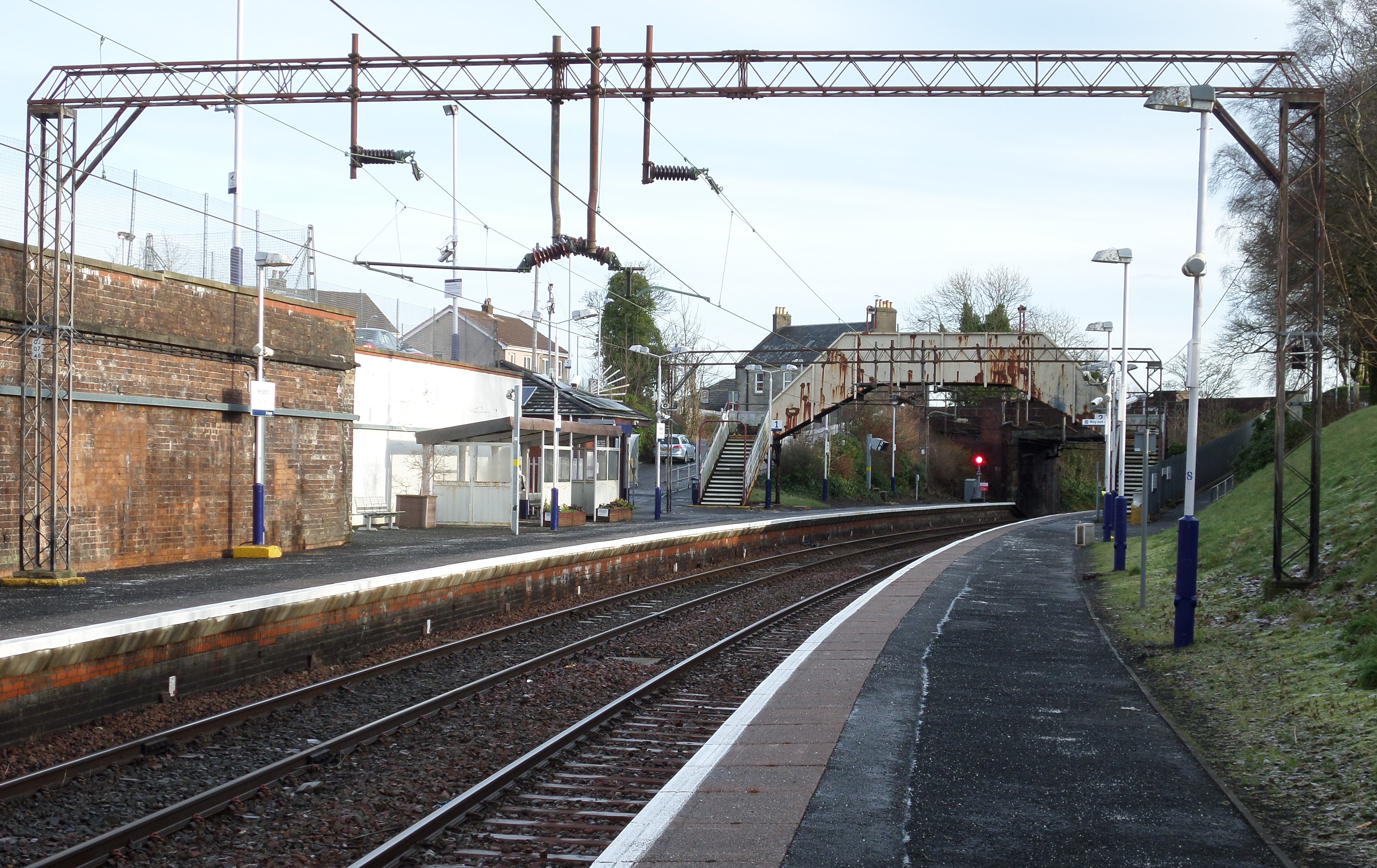
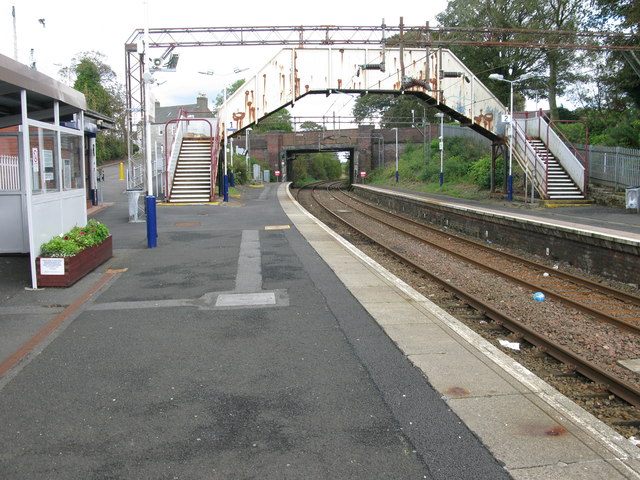
Neilston railway station
Neilston railway station is a railway station in the village of Neilston, East Renfrewshire, Greater Glasgow, Scotland. The station is managed by ScotRail...
Neilston Low railway station
Neilston Low railway station was a railway station serving the town of Neilston, East Renfrewshire, Scotland. The station was originally part of the Glasgow...
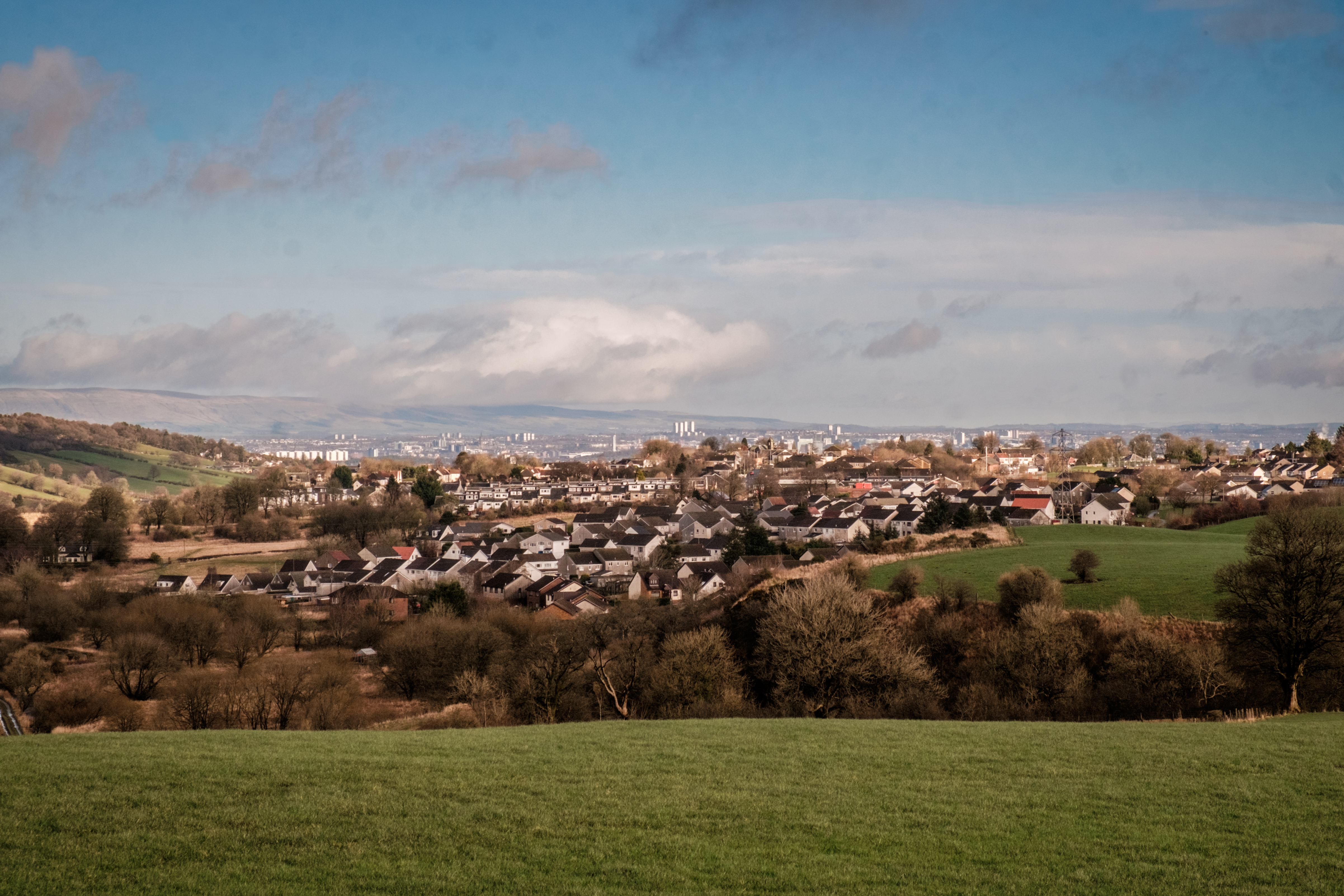
Neilston
Neilston (Scots: Neilstoun, Scottish Gaelic: Baile Nèill, pronounced [paləˈnɛːʎ]) is a village and parish in East Renfrewshire in the west central Lowlands...

Shillford
Shillford or Shilford is a hamlet to the south-west of Barrhead on the Lochlibo Road in East Renfrewshire near Uplawmoor, Scotland in the parish of Neilston...

Netherton Goods station
Netherton Goods station or Netherton Depot was a railway public freight facility located between Neilston railway station and Patterton railway station...
Related Videos

Kilmarnock Ramblers, Harelaw Loch & Neilston Pads, Nr Neilston, Nov 26th 2023
After the sunshine of yesterday, today brings overcast and cold and misty weather. But no rain so we had a good days walking.

Pinewood dog walking up at the pad Neilston
A beautiful morning for a walk up the Pad. Bird watching today as well as dog walking.

Nearby Amenities
Located within 500m of 55.77125,-4.4380025Have you been to Dingle Bog?
Leave your review of Dingle Bog below (or comments, questions and feedback).