Donald's Wood
Wood, Forest in Renfrewshire
Scotland
Donald's Wood

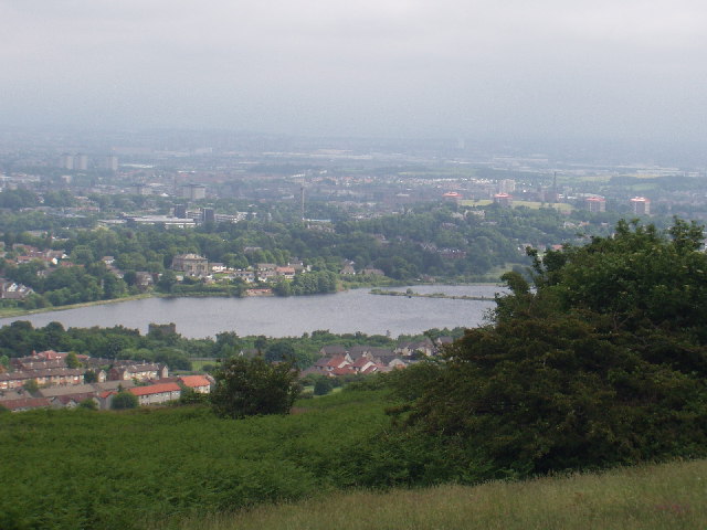
Donald's Wood is a picturesque woodland located in Renfrewshire, Scotland. Covering an area of approximately 50 acres, the wood is nestled between the towns of Johnstone and Elderslie. It is named after Sir James Donald, a renowned Scottish industrialist and philanthropist who donated the land to the public in the late 19th century.
The woodland boasts a diverse range of tree species, including oak, birch, ash, and beech, creating a rich and vibrant ecosystem. The dense canopy provides a haven for various wildlife, such as red squirrels, badgers, and a variety of bird species. Nature enthusiasts can enjoy observing these creatures in their natural habitat.
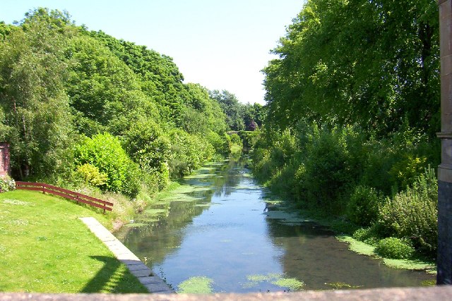
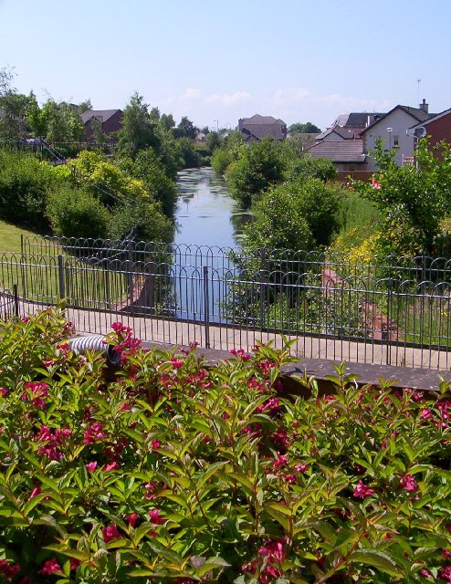
The wood offers visitors a peaceful and tranquil environment, making it a popular destination for leisurely walks and picnics. Several well-maintained footpaths meander through the wood, allowing visitors to explore its natural beauty. The paths are suitable for all levels of walkers and are wheelchair accessible, making the wood accessible to everyone.
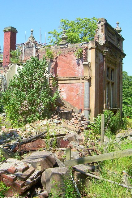
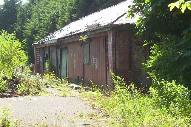
For those interested in history, Donald's Wood contains remnants of the area's industrial past. Ruins of old mills and quarry workings can still be seen, providing a glimpse into the area's past as a hub of industry.
Overall, Donald's Wood is a cherished natural gem in Renfrewshire, providing a serene escape from the hustle and bustle of everyday life. Its diverse wildlife, beautiful scenery, and historical significance make it a must-visit destination for nature lovers and history enthusiasts alike.
If you have any feedback on the listing, please let us know in the comments section below.
Donald's Wood Images
Images are sourced within 2km of 55.826513/-4.4413802 or Grid Reference NS4761. Thanks to Geograph Open Source API. All images are credited.


Donald's Wood is located at Grid Ref: NS4761 (Lat: 55.826513, Lng: -4.4413802)
Unitary Authority: Renfrewshire
Police Authority: Renfrewshire and Inverclyde
What 3 Words
///decide.snaps.drank. Near Paisley, Renfrewshire
Nearby Locations
Related Wikis
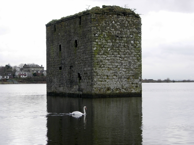
Stanely Castle
Stanely Castle is located in the waters of Stanely Reservoir, to the south of Paisley, Scotland, at the foot of the Gleniffer Braes. It was probably built...

Glenfield railway station (Scotland)
Glenfield was a railway station to the south west of Paisley, Renfrewshire, Scotland. == History == The station was originally part of the Paisley and...

Riccartsbar Hospital
Riccartsbar Hospital was a mental health facility in Paisley, Renfrewshire, Scotland. == History == The hospital, which was designed by John Honeyman,...

Royal Alexandra Hospital, Paisley
The Royal Alexandra Hospital (RAH) is the main hospital in Paisley serving a large catchment area stretching all the way to Oban and Argyll. The hospital...
Related Videos

Knockhill Circular in Largs 💙🏴💙🥰
Beautiful, peaceful wee hike with stunning views on the west coast of Scotland #shorts #scotland #hiking ...

Hiking Gleniffer Braes and I Eventually Find a Beautiful Waterfall
I have been told many times that a good walk/hike, pretty close to me is Gleniffer Braes, which is situated between Paisley and ...

Trekking to Glen park Paisley, Scotland part 1
Gleniffer Braes Country Park is great for visitors experiencing Paisley's nature offering or for locals rekindling their love for the ...

Nearby Amenities
Located within 500m of 55.826513,-4.4413802Have you been to Donald's Wood?
Leave your review of Donald's Wood below (or comments, questions and feedback).