Spittal Wood

Wood, Forest in Kirkcudbrightshire

Scotland

Spittal Wood

River Cree at Spittal Wood The piles of rocks going out into the river are breakwaters.
River Cree at Spittal Wood Credit: Russel Wills

Spittal Wood is a picturesque woodland located in the historical county of Kirkcudbrightshire, Scotland. Situated near the town of Kirkcudbright, the wood covers an extensive area of lush greenery, making it an ideal destination for nature enthusiasts and outdoor lovers.

The wood is known for its diverse range of tree species, including oak, ash, beech, and Scots pine, creating a rich and vibrant ecosystem. The foliage provides a haven for various flora and fauna, such as bluebells, primroses, and woodpeckers, attracting visitors throughout the year.

Tranquil walking trails wind their way through the wood, offering visitors the opportunity to immerse themselves in the peaceful surroundings. These paths are well-maintained, making them accessible to people of all ages and abilities. As visitors explore the wood, they may stumble upon enchanting hidden clearings and babbling brooks, adding to the sense of tranquility and natural beauty.

Spittal Wood is also a popular spot for birdwatching, with a wide range of bird species calling it home. Keen birdwatchers can spot species such as woodpeckers, chaffinches, and goldcrests, among others.

The wood is managed by a local conservation organization, ensuring its preservation and protection for future generations. They regularly organize educational events and workshops to promote awareness of the delicate balance between human activities and the natural environment.

Overall, Spittal Wood is a captivating destination for those seeking solace in nature. Its diverse flora and fauna, tranquil trails, and educational opportunities make it a must-visit location for anyone exploring Kirkcudbrightshire.

If you have any feedback on the listing, please let us know in the comments section below.
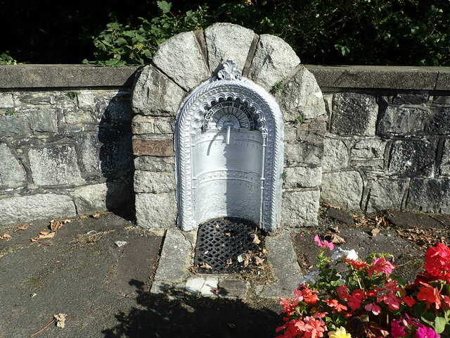
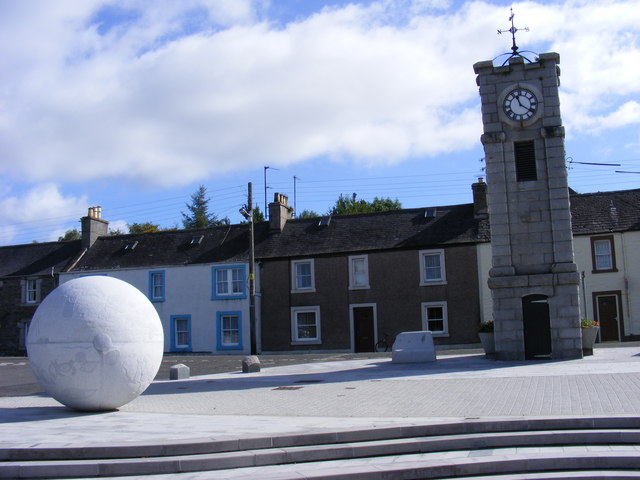
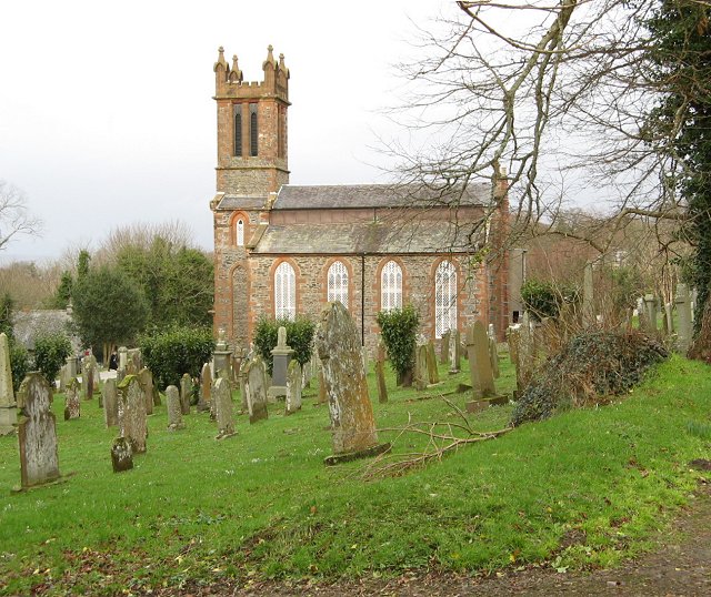
Spittal Wood Images

Images are sourced within 2km of 54.912413/-4.3901542 or Grid Reference NX4660. Thanks to Geograph Open Source API. All images are credited.

River Cree at Spittal Wood The piles of rocks going out into the river are breakwaters.
River Cree at Spittal Wood
The piles of rocks going out into the river are breakwaters.
Spittal Wood the hard way Brutal haul up to the railway trackbed from the old A75. Signposted 30% and feels like it.
Spittal Wood the hard way
Brutal haul up to the railway trackbed from the old A75. Signposted 30% and feels like it.
River Cree Upstream from Creetown
River Cree
Upstream from Creetown
Cycle path, Spittal An all too short section on the Port Road.
Cycle path, Spittal
An all too short section on the Port Road.
Cycle path Steep climb over, soon onto the railway trackbed.
Cycle path
Steep climb over, soon onto the railway trackbed.
Cree carse land After taking a crop of silage.
Cree carse land
After taking a crop of silage.
Cree Trig Point Flush Bracket S8191
Former mill at Creetown Ivy-clad ruin of an old cotton mill in Creetown
Former mill at Creetown
Ivy-clad ruin of an old cotton mill in Creetown
Kirkmabreck Parish Church <span class="nowrap"><a title="https://scotlandschurchestrust.org.uk/church/kirkmabreck-parish-church/" rel="nofollow ugc noopener" href="https://scotlandschurchestrust.org.uk/church/kirkmabreck-parish-church/">Link</a><img style="margin-left:2px;" alt="External link" title="External link - shift click to open in new window" src="https://s1.geograph.org.uk/img/external.png" width="10" height="10"/></span>
Kirkmabreck Parish Church
Kirkmabreck Parish Church The front of the church with its square bell tower
Kirkmabreck Parish Church
The front of the church with its square bell tower
Churchyard at  Kirkmabreck Parish Church
Churchyard at Kirkmabreck Parish Church
Gem Rock Museum, Creetown
The Clock Tower, Creetown On the main road through Creetown, the clock was built in local granite in 1897.
The Clock Tower, Creetown
On the main road through Creetown, the clock was built in local granite in 1897.
Sculpture in Adamson Square, Creetown Made by local sculptor Hideo Furuta, a granite sphere with pictures of fish and men
Sculpture in Adamson Square, Creetown
Made by local sculptor Hideo Furuta, a granite sphere with pictures of fish and men
Hurgeon Cottage, Creetown Cottage in Silver Street
Hurgeon Cottage, Creetown
Cottage in Silver Street
Spring on St John Street An inscription reads "Praise God from whom all blessings flow".
Spring on St John Street
An inscription reads "Praise God from whom all blessings flow".
St John Street, Creetown
Filling station, Creetown
Show me another place!

Spittal Wood is located at Grid Ref: NX4660 (Lat: 54.912413, Lng: -4.3901542)

Unitary Authority: Dumfries and Galloway

Police Authority: Dumfries and Galloway

What 3 Words

///catchers.reforming.perfected. Near Newton Stewart, Dumfries & Galloway

Related Wikis

Creetown railway station

Creetown railway station served the town of Creetown, Dumfries and Galloway, Scotland from 1861 to 1965 on the Portpatrick and Wigtownshire Joint Railway...

Creetown

Creetown (/ˈkri:tən/, sometimes /'kri:taʊn/) is a small seaside town in the Stewartry of Kirkcudbright, in Galloway in the Dumfries and Galloway council...

Kirkmabreck

Kirkmabreck is a civil parish in the historic county of Kirkcudbrightshire in the Dumfries and Galloway council area, Scotland. Situated in the historic...

Creetown F.C.

Creetown Football Club are a football club based in Creetown in the Dumfries and Galloway area of Scotland. Formed in 1905 as Creetown Rifle Volunteers...

Nearby Amenities

Located within 500m of 54.912413,-4.3901542
Source: PGS
Lat/Long: 54.9149642/-4.3962919
Source: PGS
Lat/Long: 54.913812/-4.3960491
Source: PGS
Lat/Long: 54.9123598/-4.3956115
Source: PGS
Lat/Long: 54.911816/-4.3956603
Source: PGS
Lat/Long: 54.9112993/-4.3957679
Source: PGS
Lat/Long: 54.9108952/-4.39586
Source: PGS
Lat/Long: 54.910476/-4.3961078
Source: PGS
Lat/Long: 54.909968/-4.3966559
Lennies
Naptan AtcoCode: 680000914333
Naptan Bearing: NW
Naptan BusStopType: CUS
Naptan CommonName: Lennies
Naptan Indicator: opp Road End
Naptan Landmark: Lennies
Naptan NaptanCode: 34236743
Naptan Notes: none
Naptan Street: C51
Naptan Verified: no
Source: naptan_import
Lat/Long: 54.9098148/-4.385855
Lennies
Naptan AtcoCode: 680000914444
Naptan Bearing: SE
Naptan BusStopType: CUS
Naptan CommonName: Lennies
Naptan Indicator: Road End
Naptan Landmark: Lennies
Naptan NaptanCode: 34236742
Naptan Notes: none
Naptan Street: C51
Naptan Verified: no
Source: naptan_import
Lat/Long: 54.909863/-4.3856862
Power: pole
Lat/Long: 54.9141364/-4.3845875
Power: pole
Lat/Long: 54.9137149/-4.3843777
Power: pole
Lat/Long: 54.9130036/-4.3839966
Power: pole
Lat/Long: 54.9124759/-4.3837253
Barrier: cycle_barrier
Bicycle: yes
Foot: yes
Lat/Long: 54.9126593/-4.3905723
Barrier: cattle_grid
Bicycle: yes
Foot: yes
Lat/Long: 54.9126477/-4.3905857
Parking
Lat/Long: 54.9105832/-4.3869807
Parking
Lat/Long: 54.9111923/-4.3891736
Power: pole
Lat/Long: 54.9120954/-4.3828813
Power: pole
Lat/Long: 54.9148822/-4.3849618
Power: pole
Lat/Long: 54.9154422/-4.3852429
Power: pole
Lat/Long: 54.9160673/-4.3925158
Power: pole
Lat/Long: 54.9156669/-4.3916074
Power: pole
Lat/Long: 54.9152487/-4.3906672
Power: pole
Lat/Long: 54.9144749/-4.3900273
Power: pole
Lat/Long: 54.9136176/-4.3893479
Power: pole
Lat/Long: 54.9129748/-4.3883394
Power: pole
Lat/Long: 54.9122403/-4.3872155
Power: pole
Lat/Long: 54.9116594/-4.386336
Power: pole
Lat/Long: 54.9111013/-4.3854622
Power: pole
Lat/Long: 54.9105404/-4.3846
Power: pole
Lat/Long: 54.9098821/-4.3837166
Power: pole
Lat/Long: 54.916272/-4.3913572
Power: pole
Lat/Long: 54.9162001/-4.3917787
Power: pole
Lat/Long: 54.9158218/-4.392968
Power: pole
Lat/Long: 54.9153881/-4.3939169
Power: pole
Lat/Long: 54.915022/-4.394806
Power: pole
Lat/Long: 54.9147288/-4.3955816
Power: pole
Lat/Long: 54.9126258/-4.3830796
Power: pole
Lat/Long: 54.9132619/-4.3831893
Power: pole
Lat/Long: 54.9140949/-4.3833567
The data included in this document is from www.openstreetmap.org. The data is made available under ODbL.

Have you been to Spittal Wood?

Leave your review of Spittal Wood below (or comments, questions and feedback).