Doire Gobhlach

Wood, Forest in Inverness-shire

Scotland

Doire Gobhlach

Early evening in Stratherrick
Early evening in Stratherrick Credit: Sarah McGuire

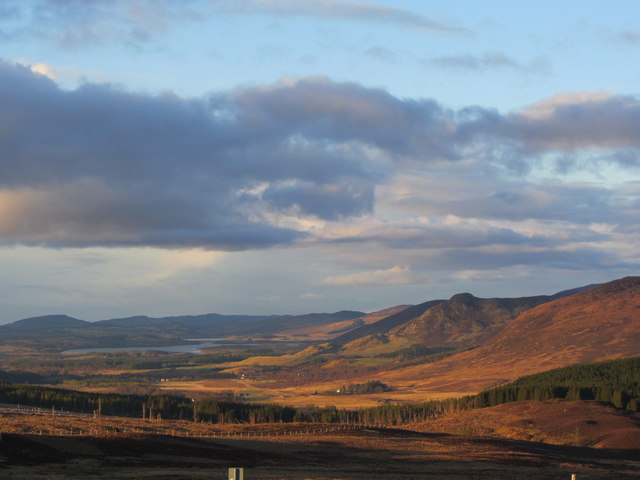
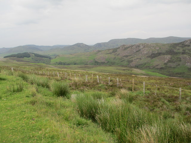
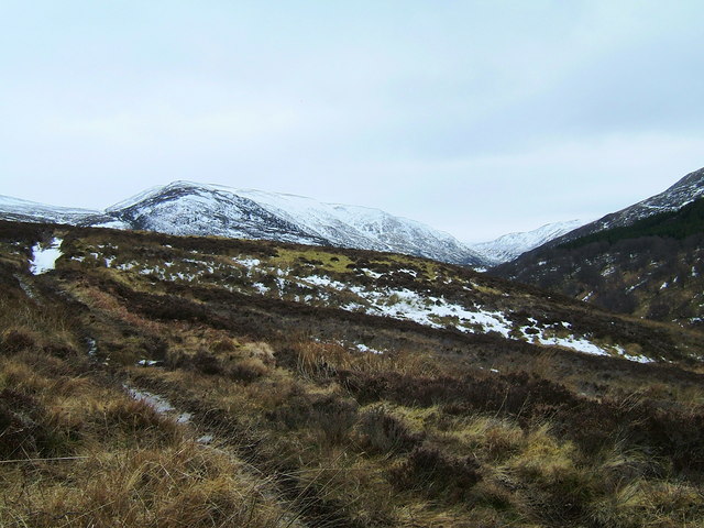
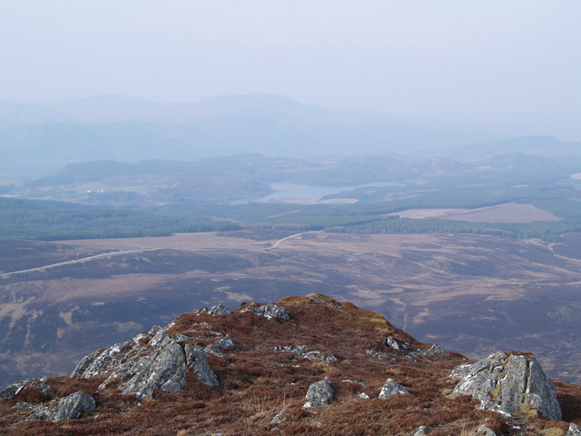
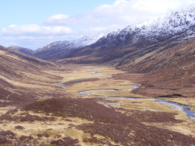
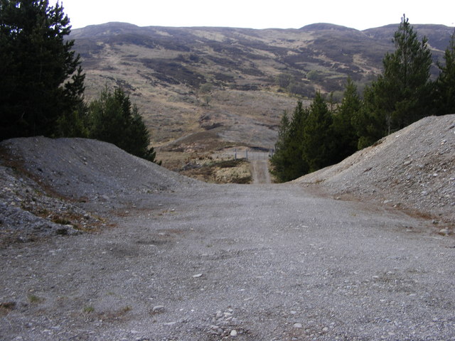
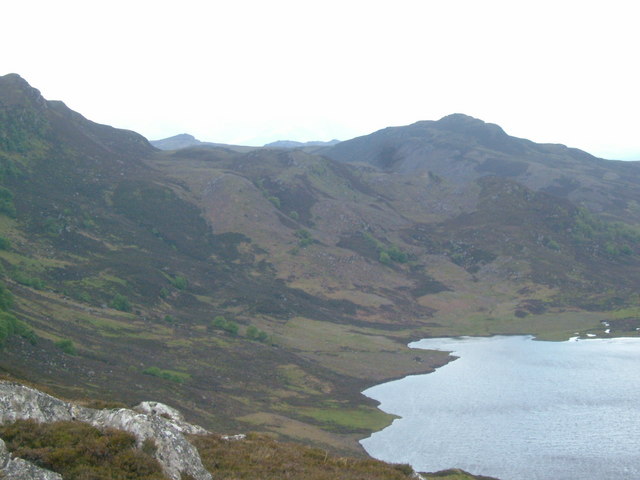
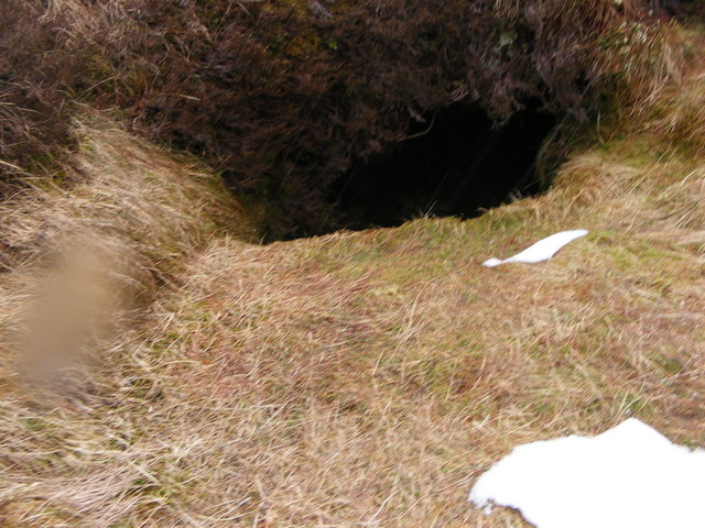
Doire Gobhlach, located in Inverness-shire, Scotland, is a picturesque woodland area renowned for its natural beauty and serene atmosphere. The name "Doire Gobhlach" translates to "Wood, Forest" in English, accurately reflecting the essence of this enchanting destination.

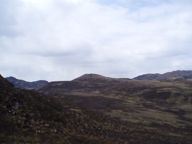
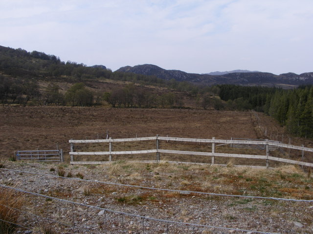
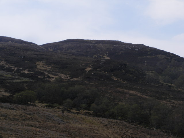
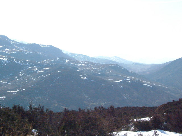
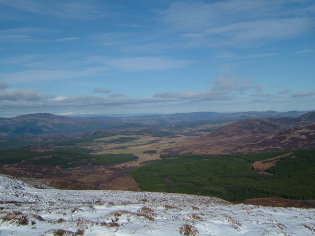
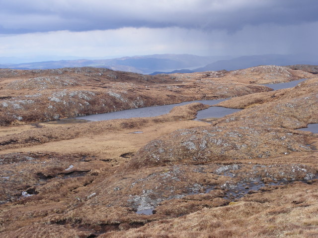
Covering a vast expanse of land, Doire Gobhlach is characterized by dense woodland comprised mainly of native tree species such as oak, birch, and pine. The forest floor is adorned with a carpet of vibrant wildflowers and mosses, creating a kaleidoscope of colors that change with the seasons.

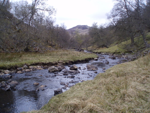
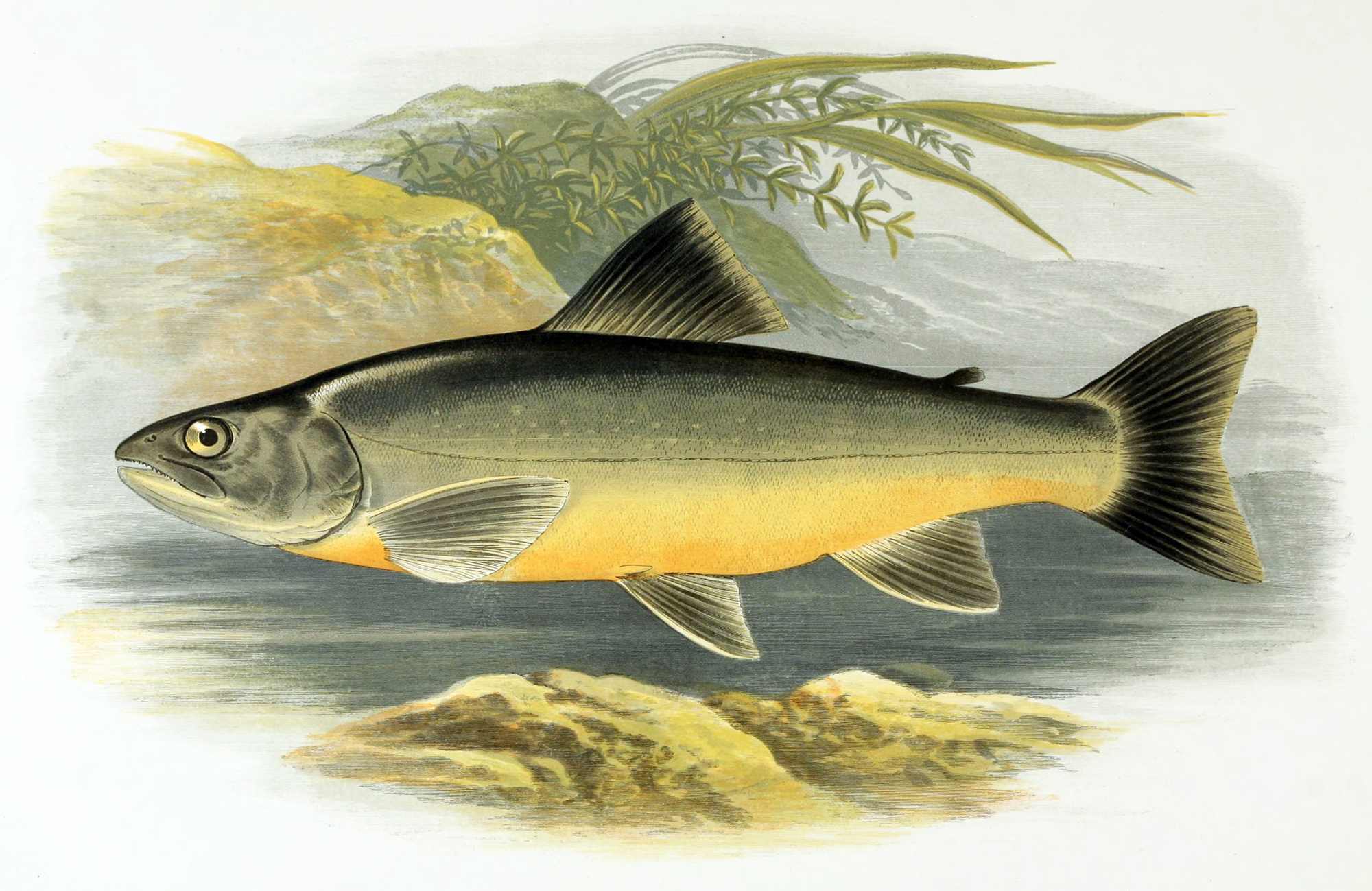
The woodland is intersected by several meandering streams and rivers, which not only add to its aesthetic appeal but also provide a habitat for various aquatic species. These water bodies also attract a diverse range of birdlife, making it a haven for birdwatchers and nature enthusiasts.

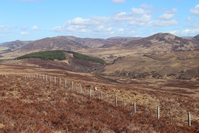
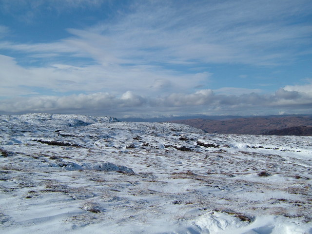
Doire Gobhlach is a popular destination for hikers, offering a network of well-maintained trails that wind through the forest, allowing visitors to immerse themselves in the tranquility of nature. Along these paths, one can encounter wildlife such as red squirrels, deer, and occasionally even glimpses of elusive creatures like pine martens and otters.

The woodland also holds historical significance, with remnants of ancient settlements and archaeological sites scattered throughout. These sites offer a glimpse into the lives of the people who once called this forest home.

Overall, Doire Gobhlach is a captivating destination that showcases the raw beauty of Scotland's natural landscape. Whether it's a leisurely stroll, a birdwatching expedition, or an exploration of its rich history, this woodland has something to offer for everyone seeking an escape into nature.

If you have any feedback on the listing, please let us know in the comments section below.

Doire Gobhlach Images

Images are sourced within 2km of 57.151541/-4.5324968 or Grid Reference NH4609. Thanks to Geograph Open Source API. All images are credited.

Early evening in Stratherrick
Cumrack Burn going west
Looking over Cumrack burn to Carn an t-Suidhe
The glen of the Cumrack Burn Moorland stretches to the Monadhliath plateau
The glen of the Cumrack Burn
Moorland stretches to the Monadhliath plateau
View of Stratherrick
Glen Looking SSW at 'Glen Brein' with L 'Creag Glenbrein' & R 'Leacann Fiodhach'. Taken from the stalkers path from 'Glenbrein Lodge'.
Glen
Looking SSW at 'Glen Brein' with L 'Creag Glenbrein' & R 'Leacann Fiodhach'. Taken from the stalkers path from 'Glenbrein Lodge'.
Carn Thomais This is taken on the tops of Carn Thomais looking North towards the viewpoint on the B862 and Knockie Lodge. The hill in the distance is Meall Fuar-mhonaidh which is on the other side of Loch Ness.
Carn Thomais
This is taken on the tops of Carn Thomais looking North towards the viewpoint on the B862 and Knockie Lodge. The hill in the distance is Meall Fuar-mhonaidh which is on the other side of Loch Ness.
Glen Brein The Allt Breineag starts in the Coire Odhar and flows down Stratherrick to join the other rivers, streams etc. at Whitebridge.  It will be diverted into the new Hydro scheme at Glen Doe and this might be the last year it will run from its original source.
Glen Brein
The Allt Breineag starts in the Coire Odhar and flows down Stratherrick to join the other rivers, streams etc. at Whitebridge. It will be diverted into the new Hydro scheme at Glen Doe and this might be the last year it will run from its original source.
Forest Track to Leacann Fiodhach The track opens onto hillside with path up east shoulder to Leacann Fiodhach top. If you go east you go into Glen Brein.
Forest Track to Leacann Fiodhach
The track opens onto hillside with path up east shoulder to Leacann Fiodhach top. If you go east you go into Glen Brein.
Doire Gobhlach The photo was taken from the gate to plantation beside the sheep pens.  The first line of trees outside the fence start at the burn coming down from the north side of Leacann Fiadhach.  The next group of trees are at the start of Coire Gobhlach which follow the eastern burn up to Loch Fraochach
Doire Gobhlach
The photo was taken from the gate to plantation beside the sheep pens. The first line of trees outside the fence start at the burn coming down from the north side of Leacann Fiadhach. The next group of trees are at the start of Coire Gobhlach which follow the eastern burn up to Loch Fraochach
Carn Thòmais Ridge from Doire Gobhlach The glen which follows the burn from Loch Fraochach can be seen in the western shoulder of Leacann Fiadhach.  Trees in foreground follow burn into forestry plantation while trees in middle ground follow the burn Loch Fraochach
Carn Thòmais Ridge from Doire Gobhlach
The glen which follows the burn from Loch Fraochach can be seen in the western shoulder of Leacann Fiadhach. Trees in foreground follow burn into forestry plantation while trees in middle ground follow the burn Loch Fraochach
Loch nan Eun Photo taken from start of ridge to Carn Thòmais, the slopes which can be seen along left of photo. Loch Tarff can be seen to right background with Creag coire Doe in centre background. Gleann nan Eun can be seen between the two of them.
Loch nan Eun
Photo taken from start of ridge to Carn Thòmais, the slopes which can be seen along left of photo. Loch Tarff can be seen to right background with Creag coire Doe in centre background. Gleann nan Eun can be seen between the two of them.
Carn Thòmais to Loch nan Eun Looking up the slopes between Carn Thòmais on the left and Creag Coire Doe on right.  Left Bank of Loch nan Eun in foreground.
Carn Thòmais to Loch nan Eun
Looking up the slopes between Carn Thòmais on the left and Creag Coire Doe on right. Left Bank of Loch nan Eun in foreground.
Carn Thòmais Ridges Photo taken from road above Loch nan Eun. Route going up Allt an Eich Dubhan can be seen on right of photo. The trees on far bank of Loch nan Eun can be seen
Carn Thòmais Ridges
Photo taken from road above Loch nan Eun. Route going up Allt an Eich Dubhan can be seen on right of photo. The trees on far bank of Loch nan Eun can be seen
Stratherrick from Loch Fraochach Taken from the hill just north of Loch Fraochach.
Stratherrick from Loch Fraochach
Taken from the hill just north of Loch Fraochach.
Leacann Fiadhach Plateau The burn going down the coire had just disappeared. It was going in direction of the other picture <a href="https://www.geograph.org.uk/photo/796729">NH4608 : Stratherrick from Loch Fraochach</a>.
Leacann Fiadhach Plateau
The burn going down the coire had just disappeared. It was going in direction of the other picture NH4608 : Stratherrick from Loch Fraochach.
Underground Burn on Leacann Fiadhach Crossing from Leacann Fiadhach towards ridges on other side of coire peat haggs bar the way.  I had to take great care when crossing underground burns.
Underground Burn on Leacann Fiadhach
Crossing from Leacann Fiadhach towards ridges on other side of coire peat haggs bar the way. I had to take great care when crossing underground burns.
Approaching Loch Fraochach from South The Moorland to the south of Loch Fraochach has innumerable small lochans and a Reading from GPS is often necessary to tell which is which. The distinctive shape of Loch Fraochach makes this one easier.  Loch Ness can just be seen in the background.  There are also two small lochans to the east of Loch Fraochach.
Approaching Loch Fraochach from South
The Moorland to the south of Loch Fraochach has innumerable small lochans and a Reading from GPS is often necessary to tell which is which. The distinctive shape of Loch Fraochach makes this one easier. Loch Ness can just be seen in the background. There are also two small lochans to the east of Loch Fraochach.
Show me another place!

Doire Gobhlach is located at Grid Ref: NH4609 (Lat: 57.151541, Lng: -4.5324968)

Unitary Authority: Highland

Police Authority: Highlands and Islands

What 3 Words

///revised.coherent.blueberry. Near Drumnadrochit, Highland

Nearby Locations

Doire Gobhlach

Related Wikis

Loch Tarff

Loch Tarff is a small freshwater loch approximately 1.25 km (0.78 mi) from the southeastern shore of Loch Ness in the Scottish Highlands. == Geography... ==

Loch Killin

Loch Killin is a small freshwater loch in the Monadhliath Mountains, in Highland, Scotland, United Kingdom. == Geography == The loch is about 1.2 miles...

Whitebridge, Scotland

Whitebridge (Scottish Gaelic: An Drochaid Bhàn) is a small village on the southwest side of Loch Ness in northern Scotland. == Geography == It is roughly...

Glendoe Hydro Scheme

The Glendoe Hydro Scheme for the generation of hydro-electric power is located in the Monadhliath Mountains near Fort Augustus, above Loch Ness in the...

Related Videos

Camping Along The Great Glen Way | Choosing Joy

The Great Glen Way travels for 79 miles from Fort William to Inverness along the Great Glen. It passes Loch Lochy, Loch Oich and ...

The Great Glen Way - A Walks Around Britain Special

The Walks Around Britain team focus on short walks - but every so often they like to take on a long-distance walk. Here, Andrew ...

Hiking the Great Glen Way (from Inverness to Fort William)

The Great Glen Way stretches for 118.5km from coast to coast across the Highlands, linking the main centres of Inverness and Fort ...

Camping The Great Glen Way in 3 Minutes

The Great Glen Way runs from Fort William (and the end of the West Highland Way) along the length of the Great Glen, passing ...

Have you been to Doire Gobhlach?

Leave your review of Doire Gobhlach below (or comments, questions and feedback).