Dog Brae Plantation
Wood, Forest in Ayrshire
Scotland
Dog Brae Plantation

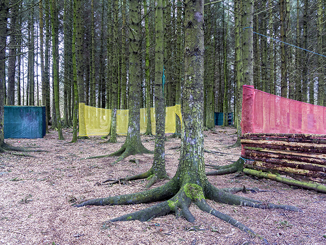
Dog Brae Plantation is a beautiful woodland area located in Ayrshire, Scotland. Covering approximately 100 acres, the plantation is a mix of native and exotic tree species, creating a diverse and picturesque landscape for visitors to explore.
The woodland is home to a variety of wildlife, including deer, birds, and small mammals, making it a popular spot for nature lovers and bird watchers. The dense canopy of trees provides a habitat for numerous species, adding to the biodiversity of the area.
Visitors can enjoy walking trails that wind through the plantation, offering stunning views of the surrounding countryside and the nearby River Ayr. The peaceful atmosphere of Dog Brae Plantation makes it an ideal destination for those looking to escape the hustle and bustle of everyday life and connect with nature.
The woodland is well-maintained, with clear paths and signage to help guide visitors through the area. Whether you're looking for a leisurely stroll or a more challenging hike, Dog Brae Plantation offers something for everyone to enjoy in the heart of Ayrshire.
If you have any feedback on the listing, please let us know in the comments section below.
Dog Brae Plantation Images
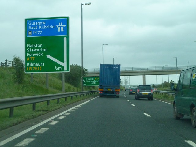
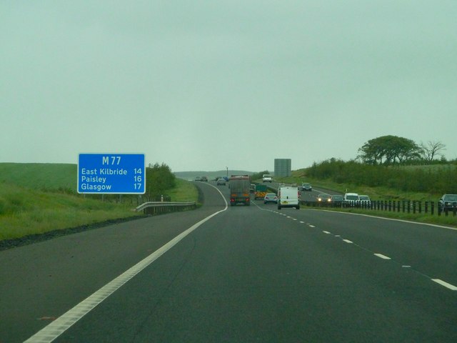
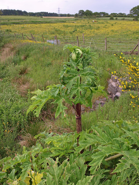
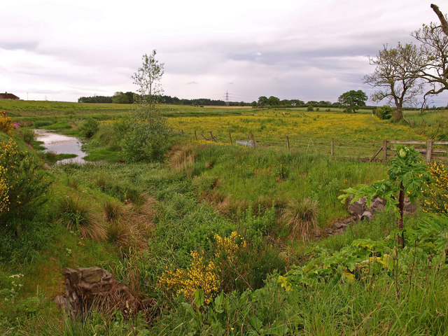
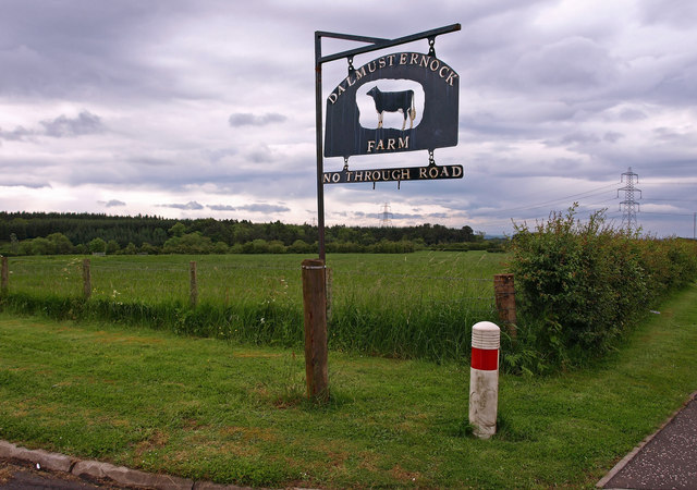
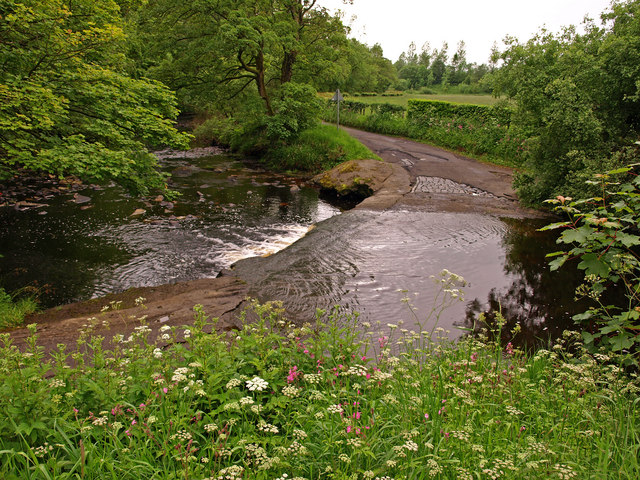
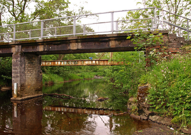
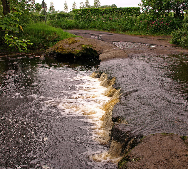
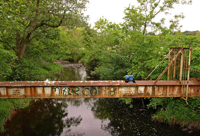
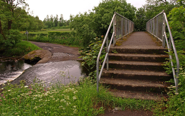
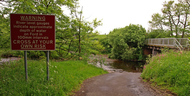
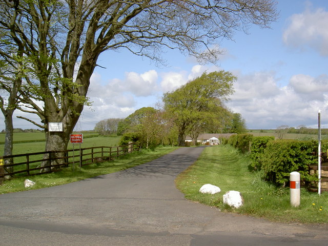
Images are sourced within 2km of 55.637651/-4.446585 or Grid Reference NS4640. Thanks to Geograph Open Source API. All images are credited.
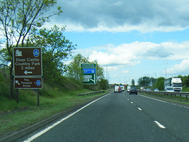


Dog Brae Plantation is located at Grid Ref: NS4640 (Lat: 55.637651, Lng: -4.446585)
Unitary Authority: East Ayrshire
Police Authority: Ayrshire
What 3 Words
///cadet.bulldozer.inkjet. Near Fenwick, East Ayrshire
Nearby Locations
Related Wikis
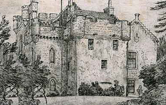
Craufurdland Castle
Craufurdland Castle is a rebuilt tower house, originating in the 16th century, about 2.5 miles (4.0 km) north east of Kilmarnock, East Ayrshire, Scotland...

Silverwood, Ayrshire
Silverwood in the Parish of Kilmarnock lies in East Ayrshire, Scotland. This was once a small estate with a mansion house; it is now a farm. The plantation...
Fenwick, East Ayrshire
Fenwick is a village in East Ayrshire, Scotland. In 2019, its population was estimated to be 989. Fenwick is the terminus of the M77 following its extension...

Moscow, East Ayrshire
Moscow is a hamlet in East Ayrshire in Scotland. It is on the A719 road some 4 miles (6 kilometres) east of Kilmarnock. In 2006 its population was reported...
Nearby Amenities
Located within 500m of 55.637651,-4.446585Have you been to Dog Brae Plantation?
Leave your review of Dog Brae Plantation below (or comments, questions and feedback).