Coille Sron na Croiche

Wood, Forest in Sutherland

Scotland

Coille Sron na Croiche

The start of the path to the Achness waterfall
The start of the path to the Achness waterfall Credit: Gordon Brown

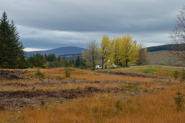
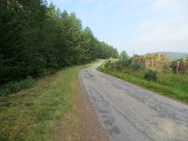
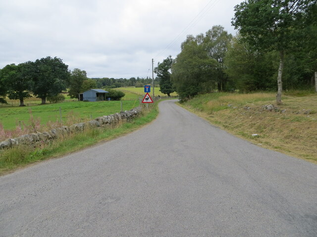
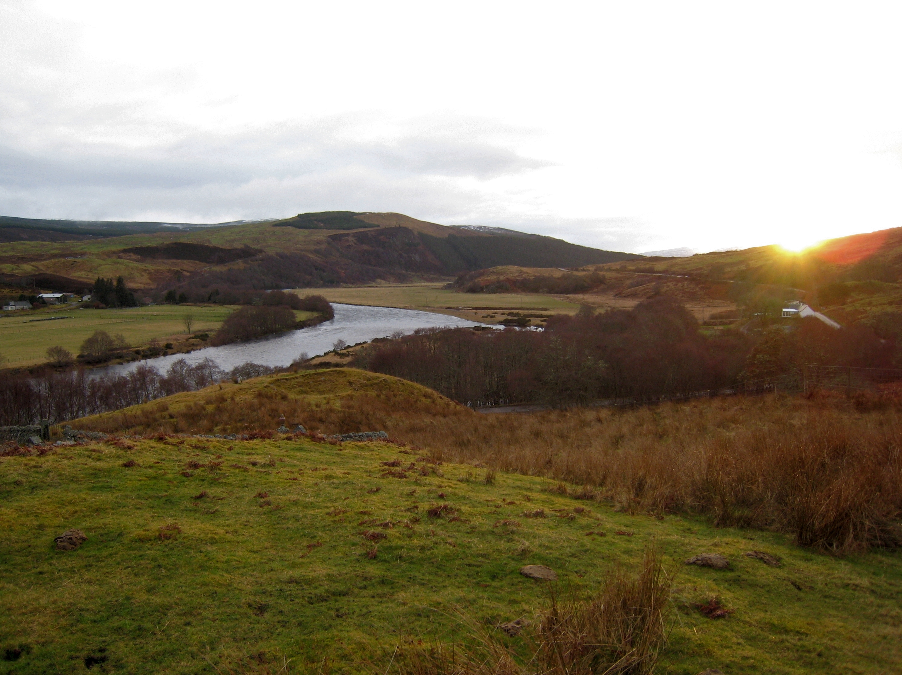
Coille Sron na Croiche, located in Sutherland, Scotland, is a remarkable woodland area known for its breathtaking natural beauty and rich biodiversity. Covering an expansive area, this forest is nestled amidst the picturesque landscape of the Scottish Highlands.

The name "Coille Sron na Croiche" translates to "Wood of the Hill of the Gallows" in English, hinting at the historical significance of this place. The forest is believed to have been a sacred ground where ancient rituals and ceremonies were conducted. It is also said to have served as the site for public executions during medieval times.

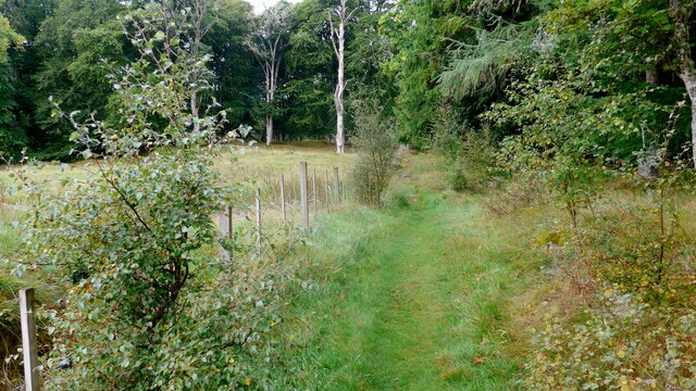
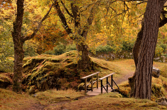
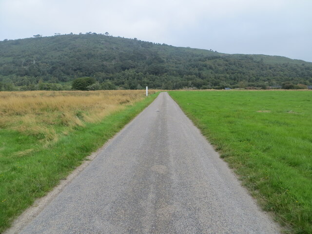
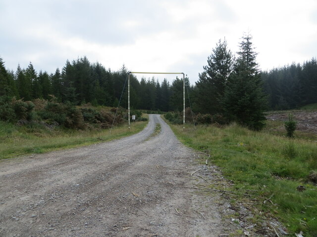
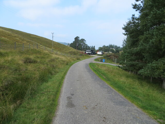
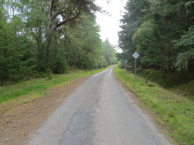
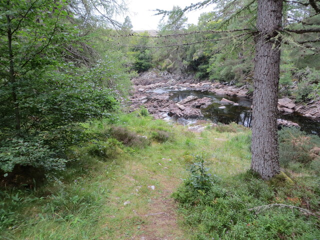
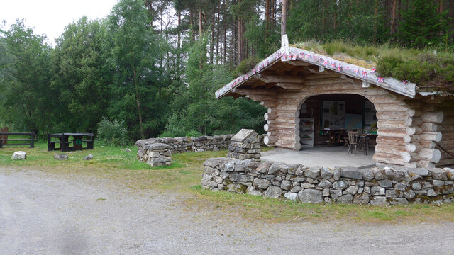
Today, Coille Sron na Croiche is primarily appreciated for its stunning natural surroundings. The forest is home to a diverse range of flora and fauna, including indigenous species such as Scots pine, birch, and rowan trees. The forest floor is adorned with a vibrant carpet of mosses, ferns, and wildflowers, creating a picturesque setting for nature enthusiasts and photographers.

The woodland offers several walking trails that wind through its enchanting landscape, allowing visitors to explore its hidden gems. These trails provide opportunities to spot various bird species, such as golden eagles, ospreys, and red kites, which are frequent visitors to the area.

Coille Sron na Croiche is not only a haven for wildlife and nature lovers but also serves as a popular tourist destination. Its tranquil atmosphere and untouched beauty make it an ideal place for relaxation and rejuvenation, offering a unique escape from the hustle and bustle of everyday life.

If you have any feedback on the listing, please let us know in the comments section below.

Coille Sron na Croiche Images

Images are sourced within 2km of 57.976891/-4.6045144 or Grid Reference NC4601. Thanks to Geograph Open Source API. All images are credited.

The start of the path to the Achness waterfall
Fine stone bridge at Rosehall Here the A837 crosses the River Cassley.
Fine stone bridge at Rosehall
Here the A837 crosses the River Cassley.
Looking for a friend The fine stone bridge over the River Cassley at Rosehall in the background.
Looking for a friend
The fine stone bridge over the River Cassley at Rosehall in the background.
A Modern House at Doune, Strath Oykel, Ross-shire Built in 2012.
A Modern House at Doune, Strath Oykel, Ross-shire
Built in 2012.
Grassland by the Forest at Innis nan Damh, Strath Oykel, Ross-shire
Rosehall House, Sutherland The front elevation of the mansion house at Rosehall, Scottish Highlands.  Now abandoned and deteriorating, this house is famous for the interior decoration by Coco Chanel in the 1920s.
Rosehall House, Sutherland
The front elevation of the mansion house at Rosehall, Scottish Highlands. Now abandoned and deteriorating, this house is famous for the interior decoration by Coco Chanel in the 1920s.
Footbridge and autumn trees at Achness, Sutherland
Minor road crossing the River Oykel flood plain Looking south-westward. Pleased to report that no wet feet were acquired in the taking of this picture.
Minor road crossing the River Oykel flood plain
Looking south-westward. Pleased to report that no wet feet were acquired in the taking of this picture.
Minor road crossing the flood plain of the River Oykel Looking northward.
Minor road crossing the flood plain of the River Oykel
Looking northward.
Forest track passing under height restrictor at Innis nan Damh Looking south-eastward.
Forest track passing under height restrictor at Innis nan Damh
Looking south-eastward.
Minor road approaching Doune Looking wesstward.
Minor road approaching Doune
Looking wesstward.
Woodland enclosed minor road near to Inveroykel Looking eastward.
Woodland enclosed minor road near to Inveroykel
Looking eastward.
Minor road near to Ochtow Looking north-westward.
Minor road near to Ochtow
Looking north-westward.
Minor road near to Achness Hotel, Rosehall Looking northward.
Minor road near to Achness Hotel, Rosehall
Looking northward.
Footpath leading to the River Cassley and Achness Falls Looking north-westward.
Footpath leading to the River Cassley and Achness Falls
Looking north-westward.
Footpath to the River Cassley and Achness Falls Looking south-westward.
Footpath to the River Cassley and Achness Falls
Looking south-westward.
Ordnance Survey Flush Bracket G1917 This bracket can be found on the wall of West Lodge - a private dwelling - at Rosehall.
The recorded details give a height of 16.0155 metres above sea level.
For more details see : <span class="nowrap"><a title="https://www.bench-marks.org.uk/bm18678" rel="nofollow ugc noopener" href="https://www.bench-marks.org.uk/bm18678">Link</a><img style="margin-left:2px;" alt="External link" title="External link - shift click to open in new window" src="https://s1.geograph.org.uk/img/external.png" width="10" height="10"/></span>
Ordnance Survey Flush Bracket G1917
This bracket can be found on the wall of West Lodge - a private dwelling - at Rosehall. The recorded details give a height of 16.0155 metres above sea level. For more details see : LinkExternal link
Unusual information centre at carpark near Rosehall Unmanned and open, but a library of books for exchange as well as local information - and shelter if it rains!
Unusual information centre at carpark near Rosehall
Unmanned and open, but a library of books for exchange as well as local information - and shelter if it rains!
Show me another place!

Coille Sron na Croiche is located at Grid Ref: NC4601 (Lat: 57.976891, Lng: -4.6045144)

Unitary Authority: Highland

Police Authority: Highlands and Islands

What 3 Words

///incur.snoozing.zoos. Near Lairg, Highland

Related Wikis

Rosehall

Rosehall is a remote hamlet in the Parish of Creich near the confluence of the River Cassley and the River Oykel, 1 mile northwest of Altass, in Sutherland...

River Cassley

The River Cassley (Scottish Gaelic: Abhainn Charsla, pronounced [ˈa.ɪɲ ˈxaɾs̪l̪ˠə]) in Sutherland, in northern Scotland, joins the River Oykel to form...

Achness Falls

Achness Falls, also known as the Achness Waterfall or Cassley Falls, is a waterfall located on the River Cassley in Sutherland, Scotland, near Rosehall...

Doune, Highland

Doune is a remote hamlet on the south bank of the River Oykel, situated 2 miles west of Rosehall and 5 miles east of Lubcroy, in Sutherland, Scottish Highlands...

Battle of Tuiteam Tarbhach

The Battle of Tuiteam Tarbhach (Scottish Gaelic: "plentiful slaughter"; also known as Tuttim–Tarwach, Tuttim–Turwigh, Tuttim–Tarwigh or Tutim Tarvach)...

Altass

Altass (Scottish Gaelic: Alltais) is a village in the Parish of Creich, near Lairg, Sutherland, within the Highland, Scotland and is in the council area...

Battle of Aldy Charrish

The Battle of Aldy Charrish (also known as the Battle of Auldicharish, Aldicharrish, Aldecharwis, Alt a'Charrais, Alt Charrais, Alt na Charrais) was a...

Achnahanat

Achnahanat (Scottish Gaelic: Achadh na h-Annaid) is a crofting settlement on the south side of the Kyle of Sutherland in Scotland. It is about 4 miles...

Related Videos

Special Operations Agency's Operation Loch 'n' Load in Scotland

Enjoy outdoor adventure activities or are you looking for inspiration for a British short break or staycation activity? Check out this ...

Nearby Amenities

Located within 500m of 57.976891,-4.6045144
Barrier: cattle_grid
Source: survey
Lat/Long: 57.9744834/-4.6030977
The data included in this document is from www.openstreetmap.org. The data is made available under ODbL.

Have you been to Coille Sron na Croiche?

Leave your review of Coille Sron na Croiche below (or comments, questions and feedback).