Brocklaw Wood

Wood, Forest in Wigtownshire

Scotland

Brocklaw Wood

A tunnel through the greenery With the fresh new leaves of spring.
A tunnel through the greenery Credit: Russel Wills

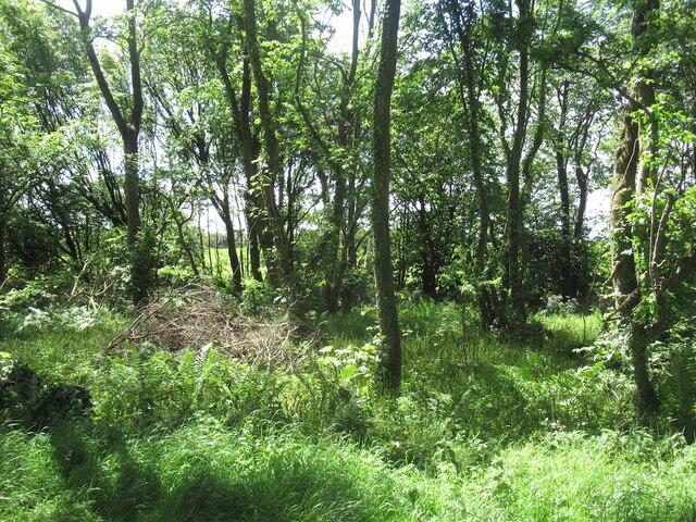
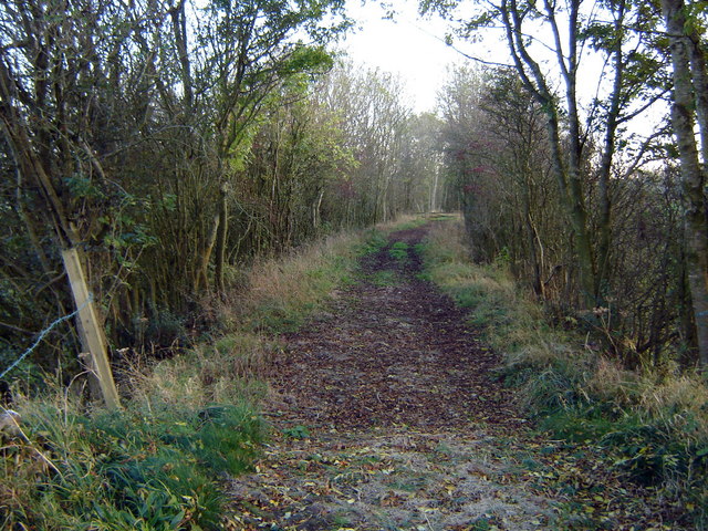
Brocklaw Wood is a picturesque forest located in Wigtownshire, Scotland. Covering an area of approximately 50 acres, it is a popular destination for nature lovers and hikers. The wood is characterized by its diverse range of tree species, including oak, beech, and birch, which create a vibrant and enchanting atmosphere.

The forest is a haven for wildlife, offering a habitat for various species such as deer, squirrels, and a wide variety of birds. Birdwatchers can enjoy spotting species like woodpeckers, tits, and thrushes among the dense foliage. The wood also boasts a small stream that meanders through the trees, providing a tranquil setting for visitors.

Brocklaw Wood offers several walking trails that cater to different levels of difficulty. These paths wind their way through the forest, allowing visitors to explore the natural beauty at their own pace. The trails are well-maintained, with clear signposts and markers ensuring visitors do not lose their way.

For those interested in history, Brocklaw Wood holds significance as it is believed to have been a part of the ancient Caledonian Forest. This forest, which once covered much of Scotland, is steeped in myth and legend, adding an air of mystery to the wood.

Overall, Brocklaw Wood in Wigtownshire is a captivating destination for nature enthusiasts, offering a peaceful retreat amid stunning natural surroundings. Whether it is a leisurely stroll or an immersive hike, visitors are sure to find solace and beauty within its tranquil embrace.

If you have any feedback on the listing, please let us know in the comments section below.

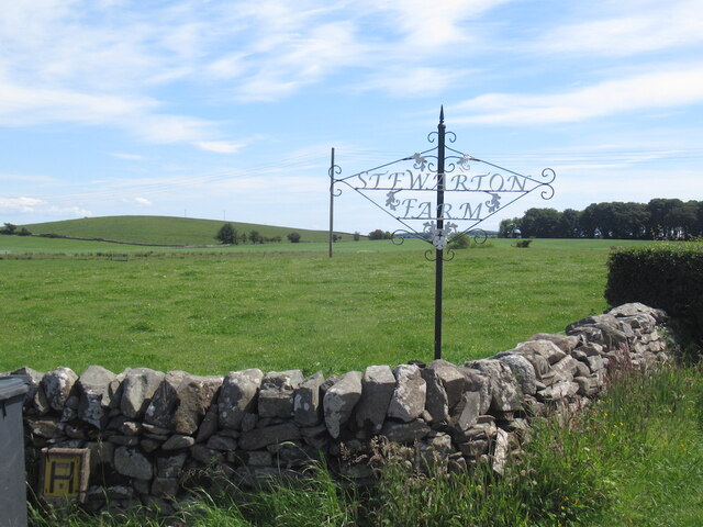
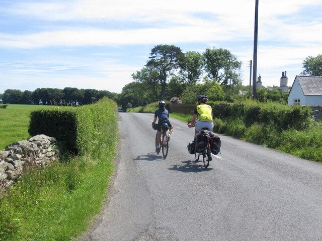
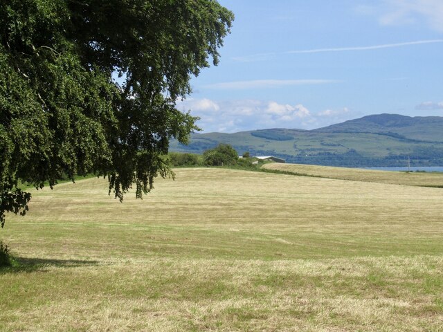
Brocklaw Wood Images

Images are sourced within 2km of 54.812043/-4.3969529 or Grid Reference NX4648. Thanks to Geograph Open Source API. All images are credited.

A tunnel through the greenery With the fresh new leaves of spring.
A tunnel through the greenery
With the fresh new leaves of spring.
Hedges encroach on a country road Near Garlieston.
Hedges encroach on a country road
Near Garlieston.
Farm sign, Stewarton
Passing Stewarton Touring from Glasgow to Stranraer.
Passing Stewarton
Touring from Glasgow to Stranraer.
Stewarton Hill A drumlin.
Stewarton Hill
A drumlin.
Orchardton After a silage harvest.
Orchardton
After a silage harvest.
Fields near Corwar
Fields near Corwar
Field near Culscadden
Outtle Well Plantation
B7004 passing Outtle Well Plantation
Old milestone A Wigtownshire milestone near the entrance to Sorbie Farm on the B7004 leading to Garlieston.    Vegetation recently cleared by a Milestone Society member.
Old milestone
A Wigtownshire milestone near the entrance to Sorbie Farm on the B7004 leading to Garlieston. Vegetation recently cleared by a Milestone Society member.
Old milestone The Wigtown face of the milestone just northwest of the entrance to Sorbie Farm.   After 2 more miles the B7004 joins the A746 to Wigtown.
Old milestone
The Wigtown face of the milestone just northwest of the entrance to Sorbie Farm. After 2 more miles the B7004 joins the A746 to Wigtown.
Looking Over the Wall A view of the ancient track that ran from Creech to Corwar.
Looking Over the Wall
A view of the ancient track that ran from Creech to Corwar.
Bees Nest (Former) It looks like a Badger has had a very sweet meal of honey here!
Bees Nest (Former)
It looks like a Badger has had a very sweet meal of honey here!
Old milestone At the northwest end of a finger of trees from The Forest, Kilsture Forest.   So many of the milestones in Wigtownshire are leaning, perhaps it is that the ground is generally quite soft in this area.   But they may have been there for about a 100 years.
Old milestone
At the northwest end of a finger of trees from The Forest, Kilsture Forest. So many of the milestones in Wigtownshire are leaning, perhaps it is that the ground is generally quite soft in this area. But they may have been there for about a 100 years.
Old milestone Looking back towards Wigtown.   The buildings near the trees are Stewarton and the road sign is Cattle Crossing.
Old milestone
Looking back towards Wigtown. The buildings near the trees are Stewarton and the road sign is Cattle Crossing.
Old milestone Travelling towards Garlieston the entrance to Sorbie Farm is just beyond the milestone.   Although the next milestone southwards, Garlieston 1, is marked on the map it hasn't been found.
Old milestone
Travelling towards Garlieston the entrance to Sorbie Farm is just beyond the milestone. Although the next milestone southwards, Garlieston 1, is marked on the map it hasn't been found.
Old milestone Travelling along the B7004 there are long, straight, gently undulating sections.  But it is a quiet road and easy to stop to take photographs of the milestones.
Old milestone
Travelling along the B7004 there are long, straight, gently undulating sections. But it is a quiet road and easy to stop to take photographs of the milestones.
Show me another place!

Brocklaw Wood is located at Grid Ref: NX4648 (Lat: 54.812043, Lng: -4.3969529)

Unitary Authority: Dumfries and Galloway

Police Authority: Dumfries and Galloway

What 3 Words

///along.massing.signified. Near Whithorn, Dumfries & Galloway

Related Wikis

Sorbie Tower

Sorbie Tower is a fortified tower house 1 mile east of the village of Sorbie, Dumfries and Galloway, Scotland. The ancient seat of the Clan Hannay, it...

Millisle railway station

Millisle, later Millisle for Garlieston was a railway station that was near the junction for Garlieston on the Wigtownshire Railway branch line, from Newton...

Sorbie railway station

Sorbie (NX4351447562) was a railway station that was located close to the village of Sorbie on the then Wigtownshire Railway branch line to Whithorn, from...

Garlieston railway station

Garlieston is the closed terminus of the Garlieston branch of Wigtownshire Railway; running from a junction at Millisle. It served the coastal village...

Sorbie

Sorbie (Scottish Gaelic: Soirbidh) is a small village in Wigtownshire, Machars, within the Administration area of Dumfries and Galloway Council, Scotland...

Kirkinner

Kirkinner (Scottish Gaelic: Cille Chainneir, IPA: [ˈkʲʰiʎə ˈxaɲɪɾʲ]) is a village in the Machars, in the historical county of Wigtownshire in Dumfries...

Garlieston

Garlieston (Scottish Gaelic: Baile Gheàrr Lios, IPA:[ˈpaləʝeaːᵲʎis̪]) is a small planned coastal village in the historical county of Wigtownshire in Dumfries...

Galloway House

Galloway House is a Category A listed country house in Sorbie, Dumfries and Galloway, Scotland. == History == Adjoining the estate village of Garlieston...

Nearby Amenities

Located within 500m of 54.812043,-4.3969529
Power: pole
Lat/Long: 54.8161537/-4.399654
Power: pole
Lat/Long: 54.8158813/-4.3979984
Power: pole
Lat/Long: 54.8156875/-4.3968766
Power: pole
Lat/Long: 54.8154978/-4.3956913
Power: pole
Lat/Long: 54.8153081/-4.3945484
Power: pole
Lat/Long: 54.8150899/-4.3932408
Power: pole
Lat/Long: 54.8148623/-4.3919168
The data included in this document is from www.openstreetmap.org. The data is made available under ODbL.

Have you been to Brocklaw Wood?

Leave your review of Brocklaw Wood below (or comments, questions and feedback).