Newton Wood
Wood, Forest in Renfrewshire
Scotland
Newton Wood
Newton Wood is a picturesque forest located in Renfrewshire, Scotland. Spanning an area of approximately 100 hectares, it is a popular destination for nature enthusiasts, hikers, and birdwatchers. The wood is situated near the village of Newton Mearns and is easily accessible by various modes of transportation.
The wood features a diverse range of tree species, including oak, beech, and birch, giving it a vibrant and colorful appearance throughout the year. The dense foliage provides a habitat for a variety of wildlife, including squirrels, deer, and numerous bird species. Birdwatchers can spot species such as woodpeckers, owls, and various songbirds nesting and foraging in the wood.
A network of well-maintained trails winds through the wood, allowing visitors to explore its natural beauty. These trails cater to different levels of difficulty, making it suitable for both casual walkers and experienced hikers. Along the trails, visitors can enjoy breathtaking views, tranquil surroundings, and the calming sound of birdsong.
Additionally, Newton Wood offers recreational facilities, such as picnic areas and benches, where visitors can relax and enjoy a meal amidst nature. The wood is also a fantastic spot for photography enthusiasts, with its stunning landscapes providing ample opportunities for capturing memorable shots.
Overall, Newton Wood is a captivating forest that offers a peaceful retreat from the hustle and bustle of everyday life. Its natural beauty, diverse wildlife, and well-maintained trails make it a must-visit destination for nature lovers and outdoor enthusiasts in Renfrewshire.
If you have any feedback on the listing, please let us know in the comments section below.
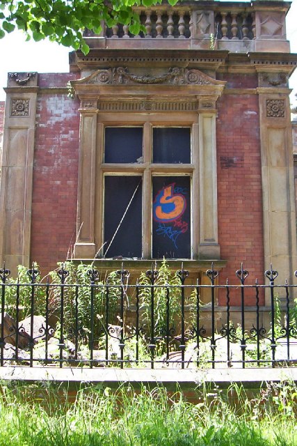
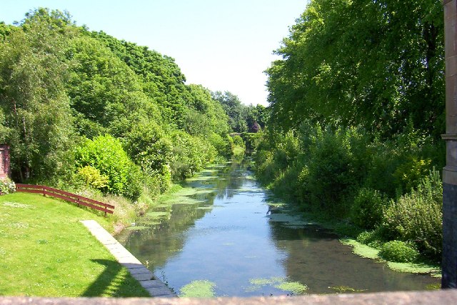
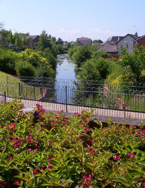
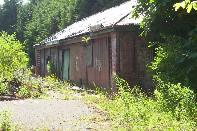
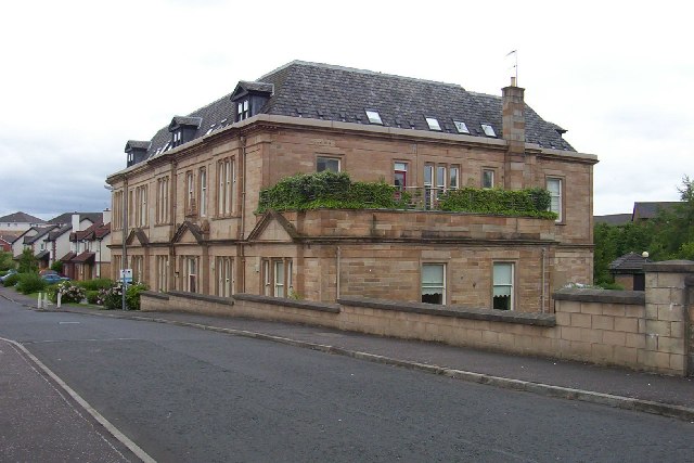
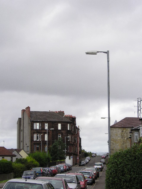
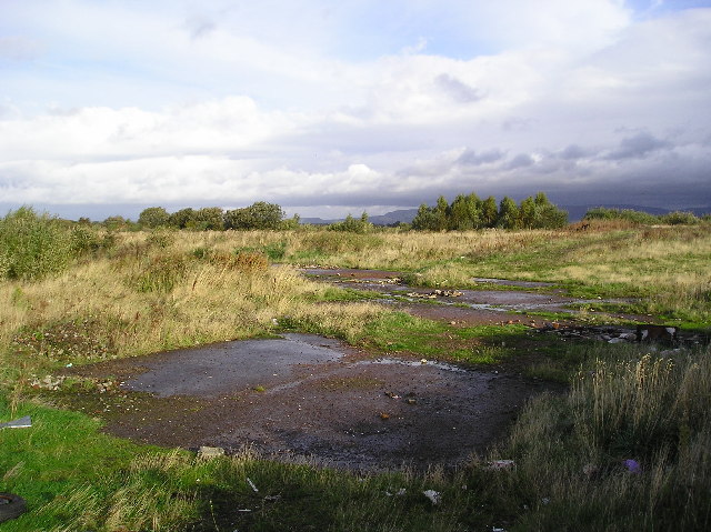
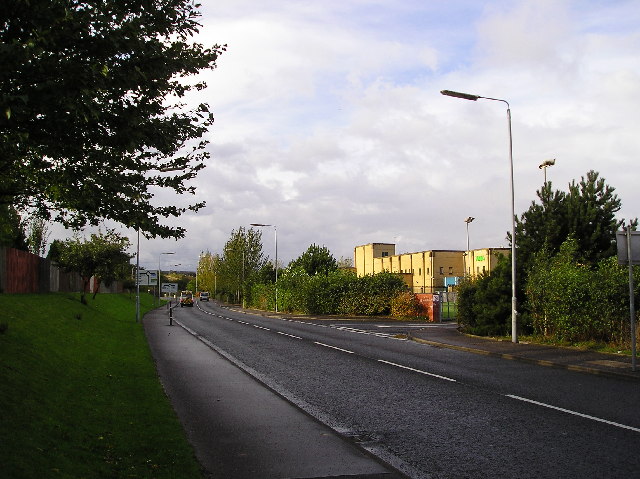
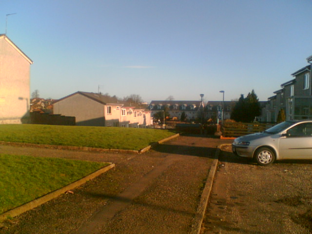
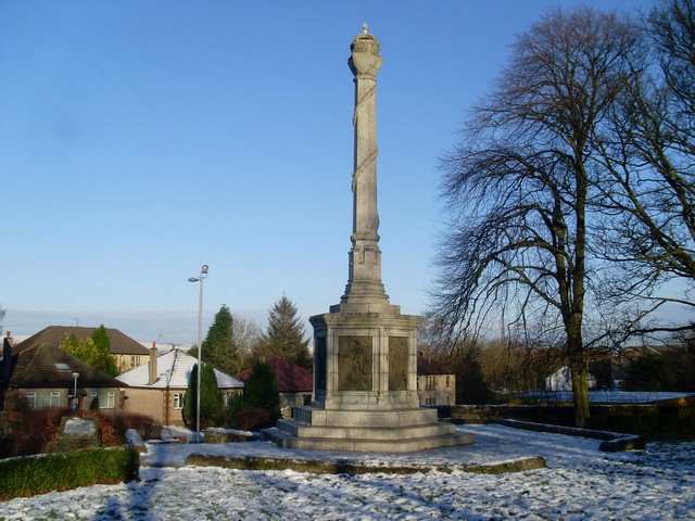
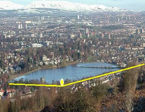
Newton Wood Images
Images are sourced within 2km of 55.831352/-4.4717699 or Grid Reference NS4562. Thanks to Geograph Open Source API. All images are credited.

Newton Wood is located at Grid Ref: NS4562 (Lat: 55.831352, Lng: -4.4717699)
Unitary Authority: Renfrewshire
Police Authority: Renfrewshire and Inverclyde
What 3 Words
///feed.bunk.caller. Near Elderslie, Renfrewshire
Nearby Locations
Related Wikis
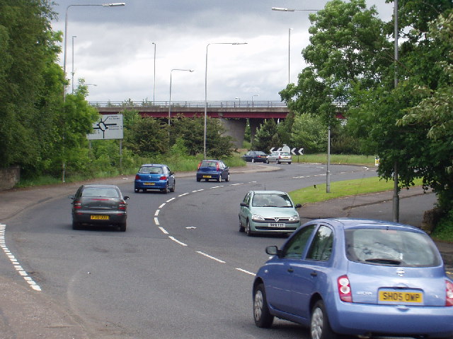
Elderslie, Scotland
Elderslie (Scottish Gaelic: Achadh na Feàrna) is a village in the council area and historic county of Renfrewshire in west central Scotland. It chiefly...
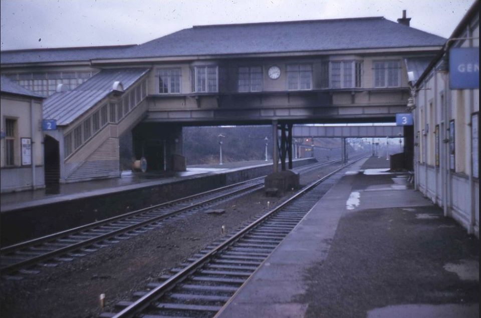
Elderslie railway station
Elderslie railway station was a railway station serving the west of Elderslie, Scotland, originally as part of the Glasgow, Paisley, Kilmarnock and Ayr...

Ferguslie railway station
Ferguslie was a railway station to the west of Paisley, Renfrewshire, Scotland. It was constructed as a planned extension of railway passenger services...

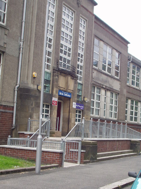
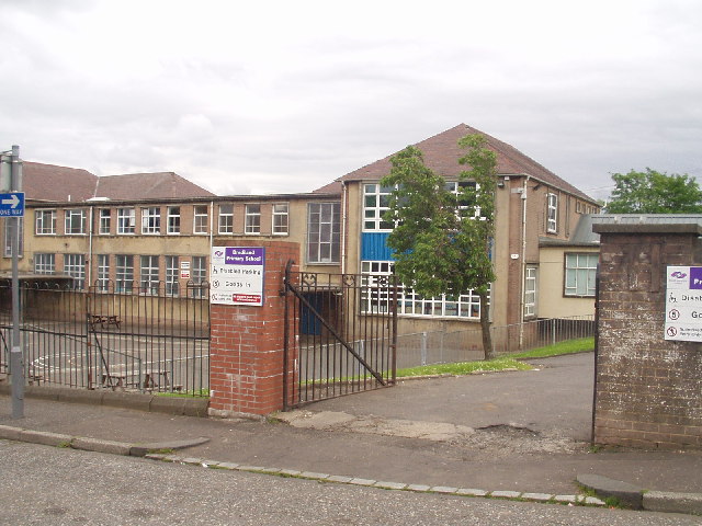
Gleniffer High School
Gleniffer High School is a Scottish state state school school located in Paisley for boys and girls aged 11 to 18. Since 1988, Gleniffer has been located...

Foxbar
Foxbar is a district of Paisley, bordered by the Gleniffer Braes and Paisley town centre. Consisting mostly of residential areas, Foxbar has rapidly grown...
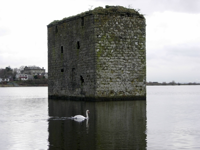
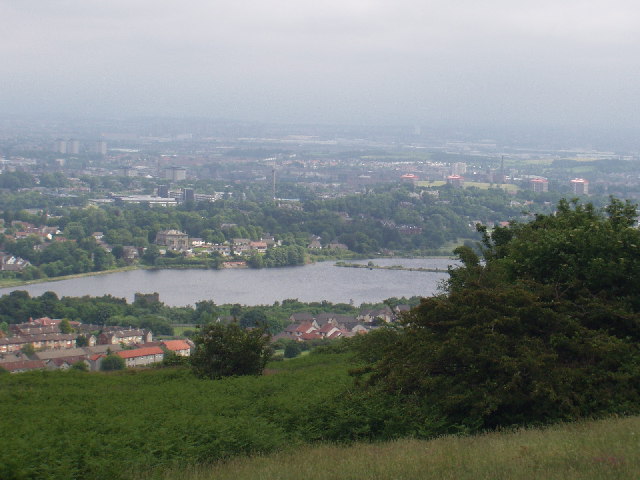
Stanely Castle
Stanely Castle is located in the waters of Stanely Reservoir, to the south of Paisley, Scotland, at the foot of the Gleniffer Braes. It was probably built...
Stanely railway station
Stanely was a railway station to the west of Paisley, Renfrewshire, Scotland. == History == The station was originally part of the Paisley and Barrhead...
Johnstone Burgh F.C.
Johnstone Burgh Football Club is a Scottish football club based in Johnstone, Renfrewshire, and play in West of Scotland League First Division. == Current... ==
Related Videos

Waterfall Wander at Gleniffer Braes | Paisley
When you can't travel far to scratch the hiking itch we looked a bit closer to home for somewhere we could stretch the legs but still ...

Hiking Gleniffer Braes and I Eventually Find a Beautiful Waterfall
I have been told many times that a good walk/hike, pretty close to me is Gleniffer Braes, which is situated between Paisley and ...

Otis & Sunny trek around the Gleniffer Brae Country Park taking in the views over Paisley & Glasgow
Otis & Sunny enjoy a mornings trek around the Gleniffer Brae Country Park taking in the views of Paisley, Glasgow Airport and ...
Nearby Amenities
Located within 500m of 55.831352,-4.4717699Have you been to Newton Wood?
Leave your review of Newton Wood below (or comments, questions and feedback).