Drumgrain Plantation
Wood, Forest in Renfrewshire
Scotland
Drumgrain Plantation

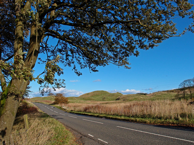
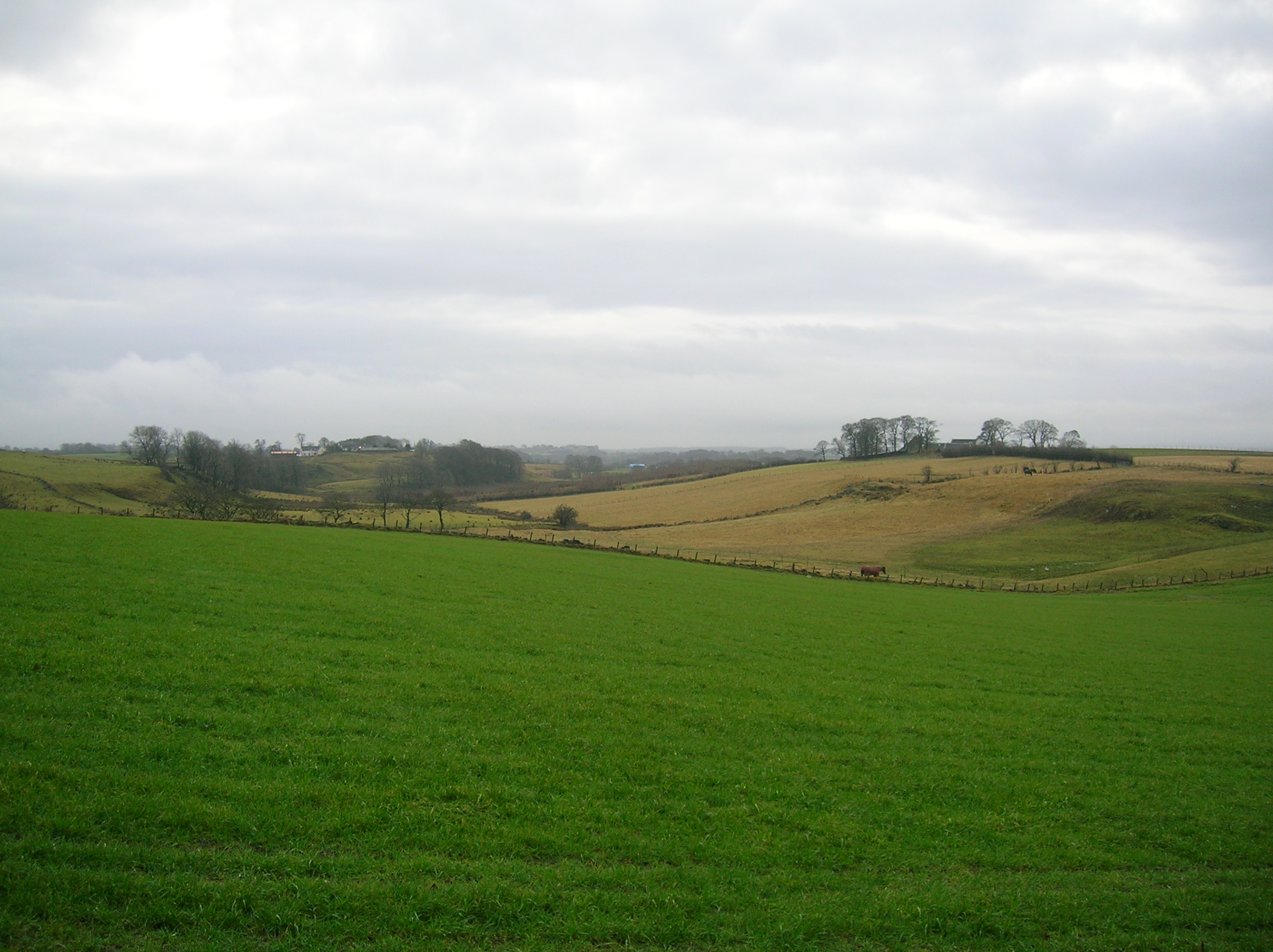
Drumgrain Plantation is a picturesque woodland located in Renfrewshire, Scotland. Spanning over an expansive area, it is renowned for its enchanting beauty and diverse range of flora and fauna. The plantation is situated in close proximity to the town of Kilmacolm, offering visitors a tranquil escape from the bustling city life.
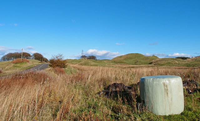
The woodland is predominantly populated by a variety of native trees, including oak, birch, and rowan. Their towering presence creates a majestic ambiance, especially during the autumn months when the foliage transforms into a symphony of vibrant colors. The plantation is also home to a thriving ecosystem, with numerous species of birds, mammals, and insects residing within its borders.
Visitors to Drumgrain Plantation can indulge in a range of outdoor activities. The well-maintained trails meander through the woodland, providing opportunities for peaceful walks and invigorating hikes. Nature enthusiasts can explore the diverse plant life, observing the delicate wildflowers and mosses that carpet the forest floor.
Additionally, the plantation offers designated picnic areas where families and friends can gather and enjoy a leisurely lunch surrounded by nature's beauty. The peaceful ambiance and stunning scenery make it an ideal spot for those seeking solace and relaxation.
Drumgrain Plantation is a cherished natural gem in Renfrewshire, its tranquil setting and abundant wildlife attracting visitors of all ages throughout the year. Whether one seeks a serene walk, a picnic with loved ones, or a chance to immerse themselves in the wonders of nature, this woodland sanctuary provides a truly enchanting experience.
If you have any feedback on the listing, please let us know in the comments section below.
Drumgrain Plantation Images
Images are sourced within 2km of 55.746899/-4.4696113 or Grid Reference NS4553. Thanks to Geograph Open Source API. All images are credited.


Drumgrain Plantation is located at Grid Ref: NS4553 (Lat: 55.746899, Lng: -4.4696113)
Unitary Authority: East Ayrshire
Police Authority: Ayrshire
What 3 Words
///roofs.turntable.plantings. Near Neilston, East Renfrewshire
Nearby Locations
Related Wikis
Uplawmoor (L&A) railway station
Uplawmoor railway station was a railway station serving the village of Uplawmoor, East Renfrewshire, Scotland as part of the Lanarkshire and Ayrshire Railway...

Uplawmoor
Uplawmoor is a village in East Renfrewshire, Scotland. Its population was 700 as of 2016. Historic Uplawmoor, associated for centuries with the Barony...

Craighall Reservoir
Craighall Reservoir, known locally as Craighall Dam, is one of a number of small reservoirs, situated around Neilston in East Renfrewshire, Scotland. The...

Uplawmoor (GB&K) railway station
Uplawmoor railway station was a railway station near the village of Uplawmoor, East Renfrewshire, Scotland. The station was originally part of the Glasgow...

Loch Libo
Loch Libo is a freshwater loch in East Renfrewshire, Parish of Neilston, Scotland. The Lugton Water has its source from the southern end of loch, running...

Shillford
Shillford or Shilford is a hamlet to the south-west of Barrhead on the Lochlibo Road in East Renfrewshire near Uplawmoor, Scotland in the parish of Neilston...

Neilston Pad
Neilston Pad, referred to locally as The Pad, is a distinctive hill in East Renfrewshire, situated a mile (1.5 km) south of the village of Neilston. Its...
Halket Loch
Halket Loch' also known as Halkhead or Halketh, was situated in the mid-Ayrshire clayland near Lugton. It is visible as a surface depression in pastureland...
Nearby Amenities
Located within 500m of 55.746899,-4.4696113Have you been to Drumgrain Plantation?
Leave your review of Drumgrain Plantation below (or comments, questions and feedback).