Threepgrass Wood
Wood, Forest in Renfrewshire
Scotland
Threepgrass Wood
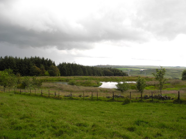
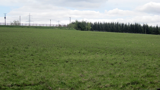
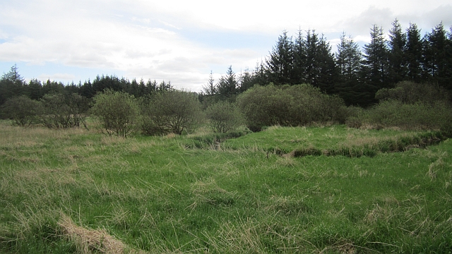
Threepgrass Wood is a charming woodland located in Renfrewshire, Scotland. Covering an area of approximately 40 acres, this forested area is a popular destination for nature lovers and outdoor enthusiasts.
The wood is predominantly made up of native broadleaf trees, including oak, birch, and ash. These trees provide a rich habitat for a variety of wildlife, making Threepgrass Wood a haven for birdwatchers and nature photographers. Visitors can spot a range of bird species, including woodpeckers, owls, and finches, as well as small mammals like squirrels and rabbits.
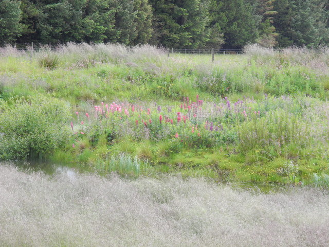
The woodland is crisscrossed by a network of walking trails, allowing visitors to explore and enjoy the natural beauty of the area. These trails vary in difficulty, catering to both casual strollers and more experienced hikers. Along the way, visitors can admire the vibrant flora, including bluebells and wildflowers in the spring and summer months.
Threepgrass Wood also offers several picnic spots, providing a perfect setting for a leisurely lunch amidst the tranquility of nature. The forest is well-maintained, with clear signage and information boards, ensuring visitors can navigate and learn about the surrounding environment.
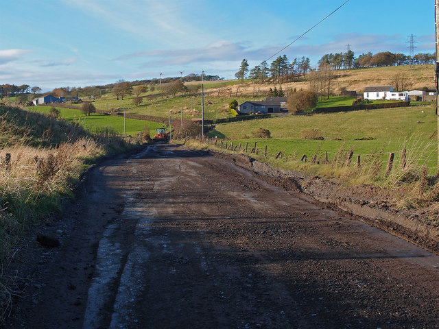
This woodland is easily accessible, with a car park available for visitors. It is located near a small village, offering amenities such as cafes and shops for those looking to extend their visit.
Overall, Threepgrass Wood is a picturesque and peaceful forested area, offering a delightful escape from the bustle of everyday life.
If you have any feedback on the listing, please let us know in the comments section below.
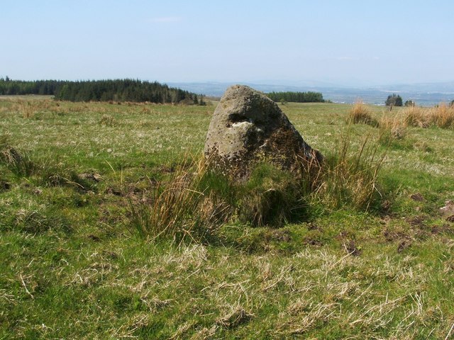
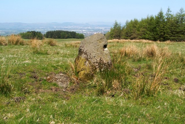
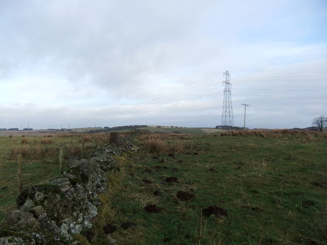
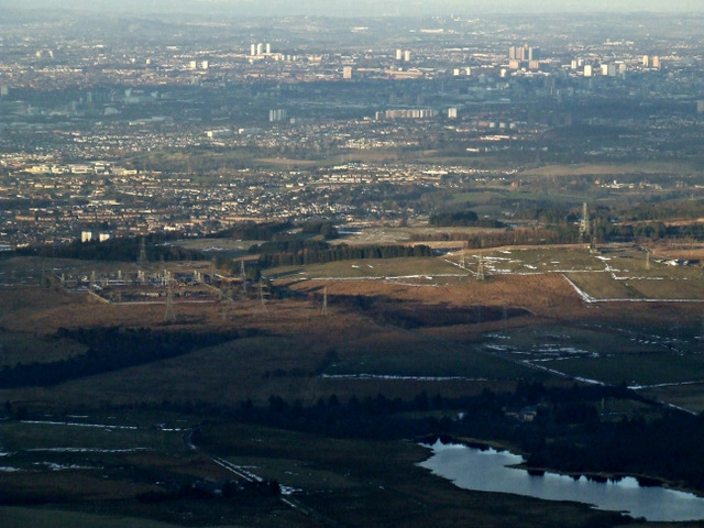
Threepgrass Wood Images
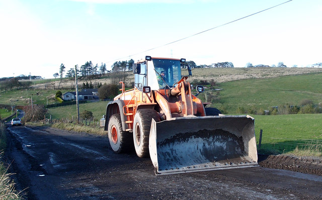
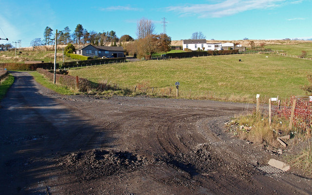
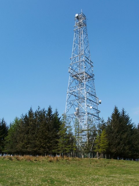
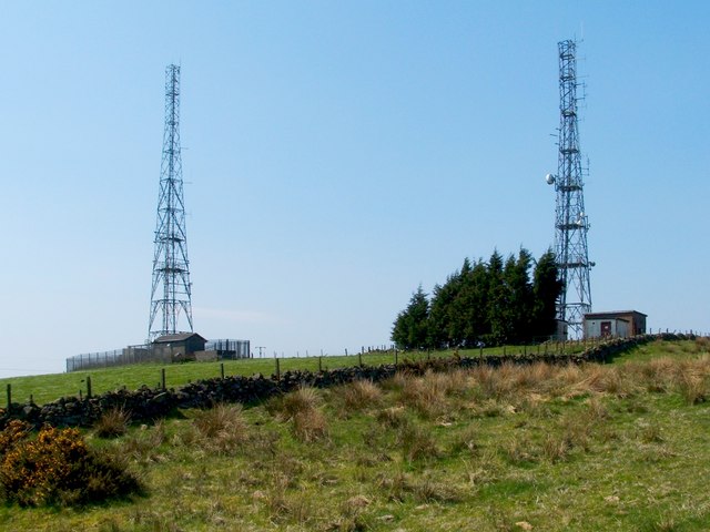
Images are sourced within 2km of 55.791518/-4.4726111 or Grid Reference NS4558. Thanks to Geograph Open Source API. All images are credited.
Threepgrass Wood is located at Grid Ref: NS4558 (Lat: 55.791518, Lng: -4.4726111)
Unitary Authority: East Renfrewshire
Police Authority: Greater Glasgow
What 3 Words
///situates.hippy.tempting. Near Neilston, East Renfrewshire
Nearby Locations
Related Wikis

Shillford
Shillford or Shilford is a hamlet to the south-west of Barrhead on the Lochlibo Road in East Renfrewshire near Uplawmoor, Scotland in the parish of Neilston...

Neilston Low railway station
Neilston Low railway station was a railway station serving the town of Neilston, East Renfrewshire, Scotland. The station was originally part of the Glasgow...
Gleniffer Braes
Gleniffer Braes ("brae" being the Scots language word for the slope or brow of a hill) is a short range of hills and park area to the south of Paisley...

Paisley and Renfrewshire South (UK Parliament constituency)
Paisley and Renfrewshire South is a constituency of the House of Commons, located in Renfrewshire, Scotland to the southwest of Glasgow. It elects one...
Neilston F.C.
Neilston Football Club are a Scottish football club based in Neilston, East Renfrewshire who currently play in the West of Scotland League First Division...

Loch Libo
Loch Libo is a freshwater loch in East Renfrewshire, Parish of Neilston, Scotland. The Lugton Water has its source from the southern end of loch, running...
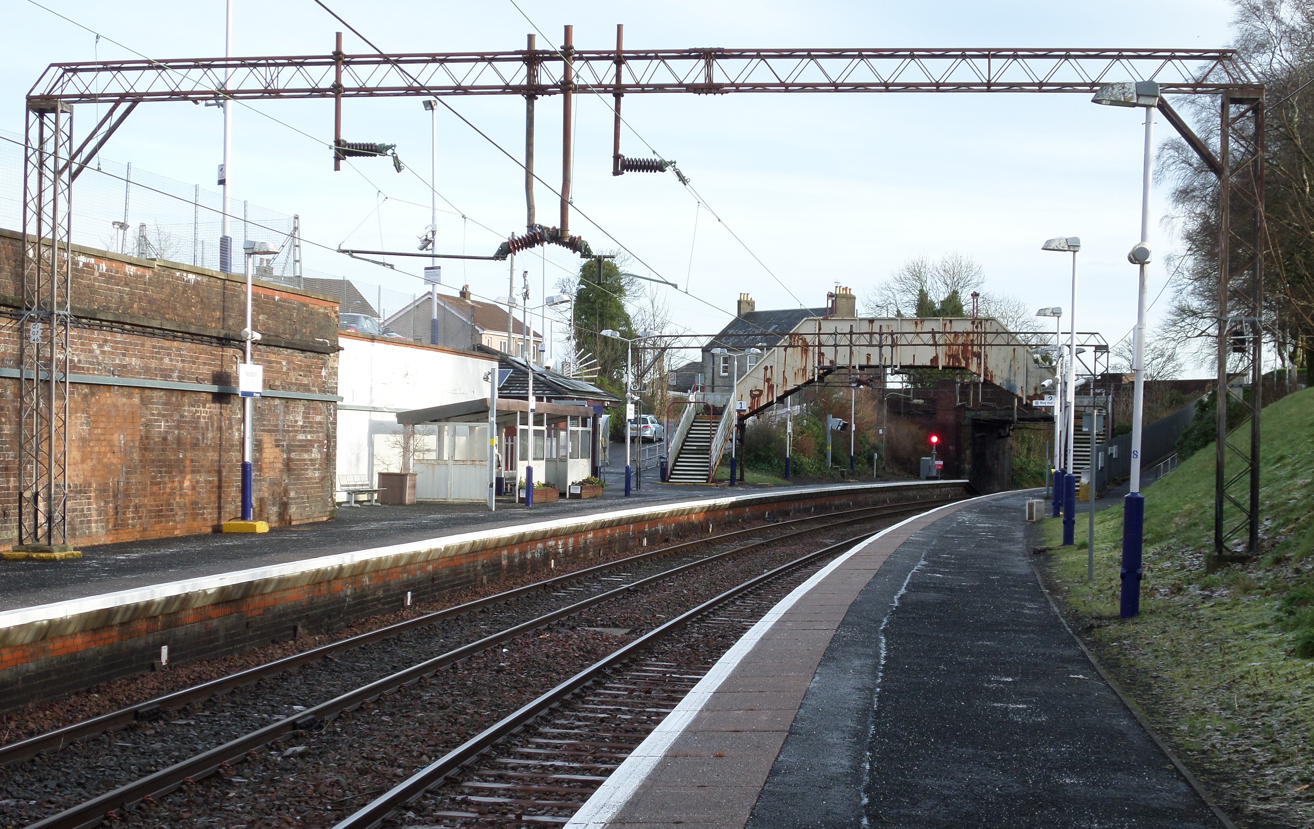
Neilston railway station
Neilston railway station is a railway station in the village of Neilston, East Renfrewshire, Greater Glasgow, Scotland. The station is managed by ScotRail...
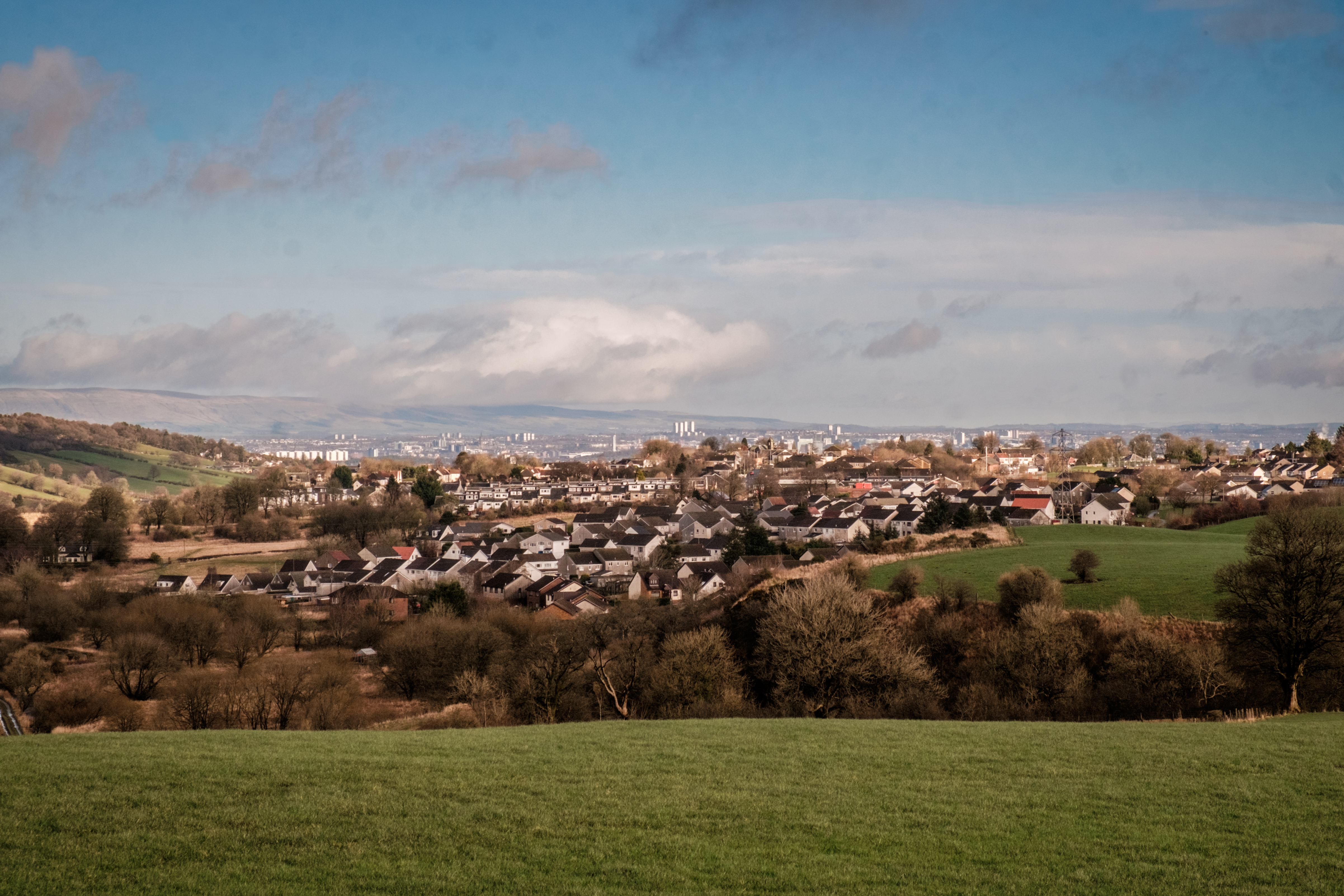
Neilston
Neilston (Scots: Neilstoun, Scottish Gaelic: Baile Nèill, pronounced [paləˈnɛːʎ]) is a village and parish in East Renfrewshire in the west central Lowlands...
Related Videos
Riot the Raven, our Sous Chef. Cooking curry!
Riot or Raven Our resident Raven, Riot, overseeing as we cook dinner. What a dude.
Nearby Amenities
Located within 500m of 55.791518,-4.4726111Have you been to Threepgrass Wood?
Leave your review of Threepgrass Wood below (or comments, questions and feedback).