Pond Wood
Wood, Forest in Dunbartonshire
Scotland
Pond Wood
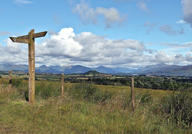
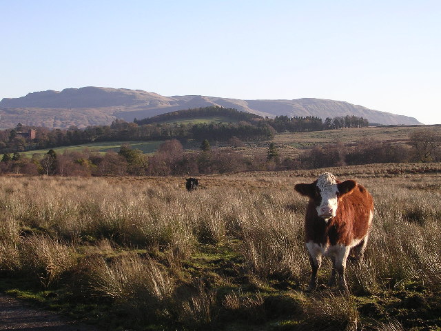
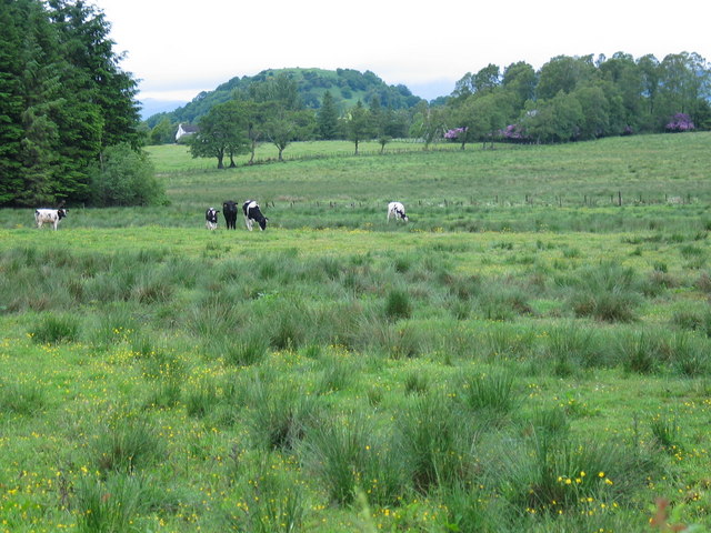
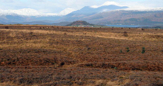
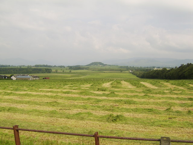
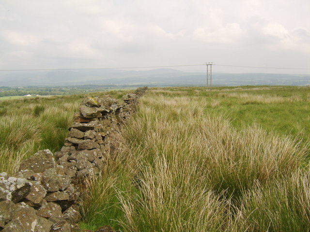
Pond Wood is a prominent forest located in Dunbartonshire, Scotland. Covering an area of approximately 200 acres, it is a captivating natural landscape that boasts an array of diverse flora and fauna. This woodland area offers a tranquil and serene atmosphere, making it a popular destination for nature enthusiasts, hikers, and bird watchers.
Pond Wood is home to a variety of tree species, including oak, beech, and birch, which create a dense canopy overhead, providing shelter for an abundance of wildlife. The forest floor is adorned with a carpet of vibrant wildflowers during the spring and summer months, creating a picturesque setting.
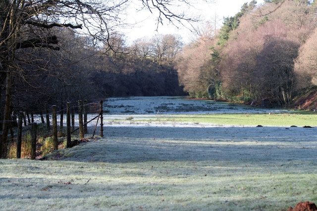
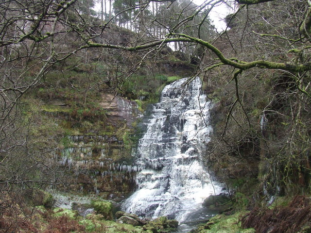
The wood is intersected by a meandering stream, adding to its scenic beauty. This stream is home to various species of fish, and its gentle babbling sound adds to the peaceful ambiance of the forest.
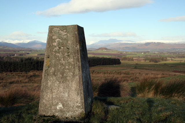
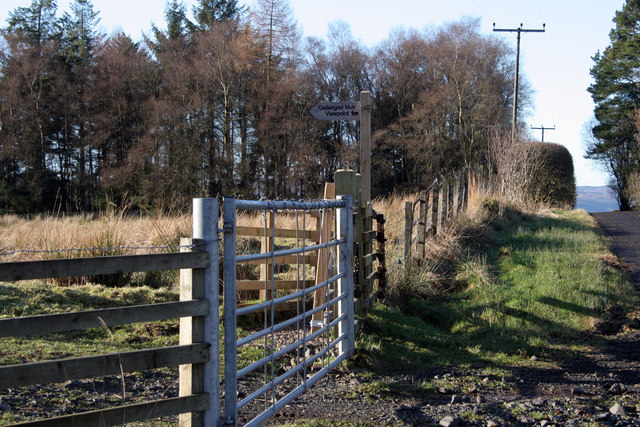
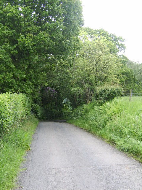
The forest offers numerous trails, allowing visitors to explore its enchanting surroundings. These well-maintained paths guide adventurers through the wood, offering glimpses of the stunning flora and fauna. Pond Wood also features a small pond, which is a popular spot for birdwatching and attracts various waterfowl species throughout the year.
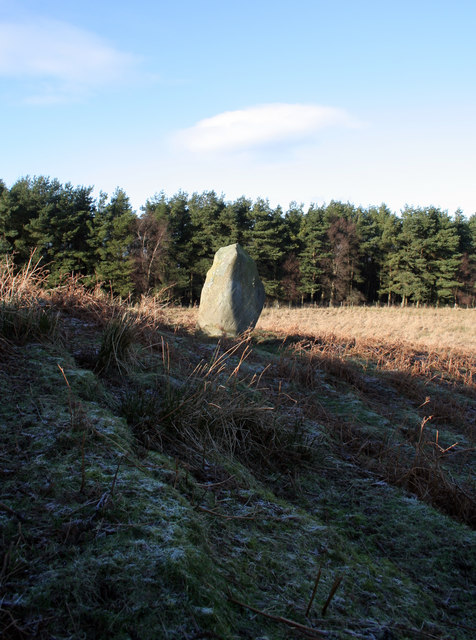
Pond Wood is not only a haven for wildlife but also serves as an important ecological site. It provides a valuable habitat for a range of species, contributing to the biodiversity of the area.
Overall, Pond Wood is a captivating natural treasure in Dunbartonshire, offering visitors a chance to immerse themselves in the beauty of nature and experience the peacefulness of a woodland environment.
If you have any feedback on the listing, please let us know in the comments section below.
Pond Wood Images
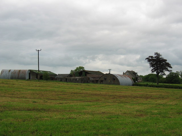
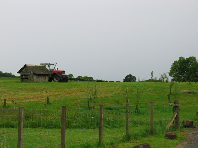
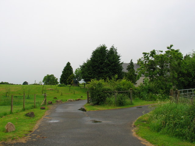
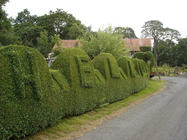
Images are sourced within 2km of 56.020006/-4.4875218 or Grid Reference NS4583. Thanks to Geograph Open Source API. All images are credited.
Pond Wood is located at Grid Ref: NS4583 (Lat: 56.020006, Lng: -4.4875218)
Unitary Authority: West Dunbartonshire
Police Authority: Argyll and West Dunbartonshire
What 3 Words
///ogre.unscrew.guitar. Near Balloch, West Dunbartonshire
Nearby Locations
Related Wikis

Caldarvan railway station
Caldarvan railway station served the estate of Caldarvan, in the historical county of Dunbartonshire, Scotland, from 1856 to 1934 on the Forth and Clyde...
Ishneich
Ishneich is a waterfall of Scotland. This stunning waterfall can be reached by following the John Muir trail past the Burncrooks reservoir and through...

Gartocharn
Gartocharn (; Scottish Gaelic: Gart a’ Chàirn [ˈkarˠʃt̪ ə ˈxaːrˠɲ]) is a village in West Dunbartonshire in Scotland, United Kingdom. It is the only village...

Croftamie
Croftamie (Scottish Gaelic Croit Sheumaidh) is a small village and community council area in the Stirling council area in Scotland. It lies to the south...
Nearby Amenities
Located within 500m of 56.020006,-4.4875218Have you been to Pond Wood?
Leave your review of Pond Wood below (or comments, questions and feedback).