T Wood
Wood, Forest in Dunbartonshire
Scotland
T Wood

T Wood, Dunbartonshire, commonly known as Wood or the Forest, is a small village located in the western part of Scotland. Situated in the region of Dunbartonshire, it is surrounded by picturesque landscapes characterized by rolling hills, dense woodlands, and stunning natural beauty.
Wood is known for its rich history, with evidence of settlements dating back to ancient times. The village has played a significant role in the timber industry, given its abundance of forests. The woodlands in the area are diverse and home to a wide variety of flora and fauna, making it an ideal destination for nature enthusiasts.
The village itself is quaint and peaceful, with a close-knit community that prides itself on its heritage. Traditional stone cottages and historic buildings can be found throughout the village, adding to its charm and rustic atmosphere.
Although small in size, Wood offers a range of amenities for its residents and visitors. There are several local shops, cafes, and pubs, providing essential services and a place to socialize. Additionally, the village is well-connected to nearby towns and cities, allowing easy access to larger commercial centers and cultural attractions.
For those seeking outdoor activities, Wood offers numerous opportunities. The surrounding forests provide excellent hiking trails, suitable for all levels of fitness. The nearby rivers and lochs are popular for fishing and boating, providing a tranquil escape into nature.
Overall, T Wood, Dunbartonshire is a delightful village known for its natural beauty, rich history, and warm community spirit. Whether exploring the woodlands or enjoying the local amenities, visitors are sure to find a welcoming and idyllic retreat in this charming corner of Scotland.
If you have any feedback on the listing, please let us know in the comments section below.
T Wood Images
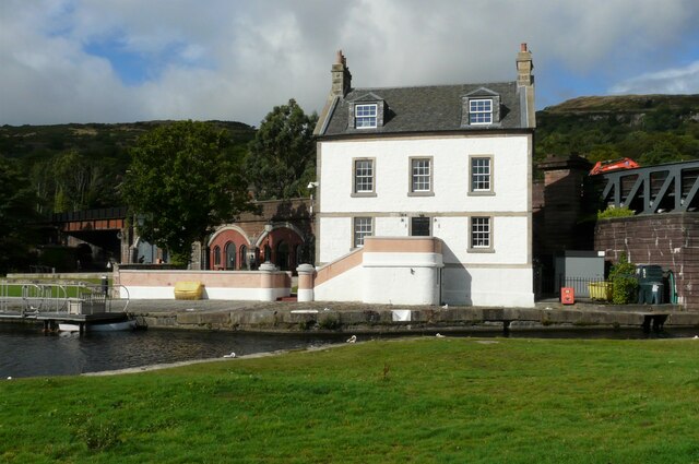
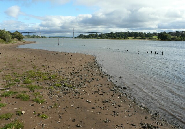
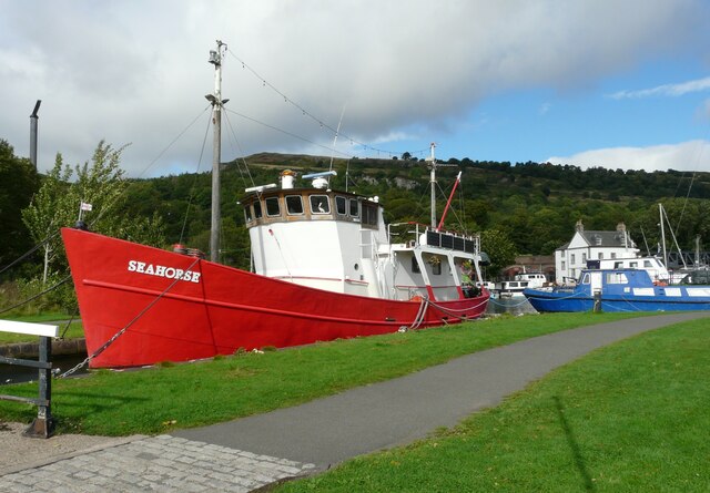
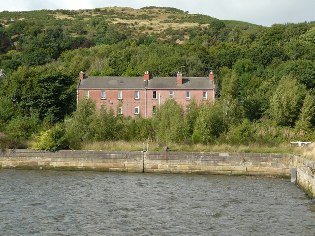
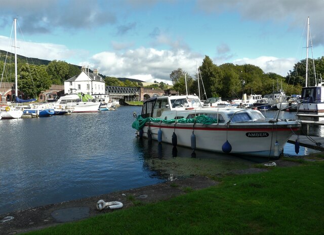
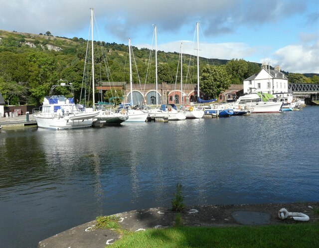
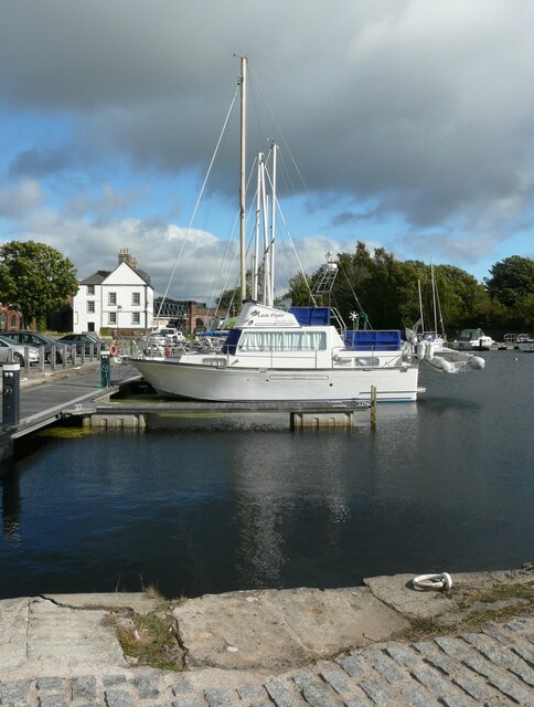
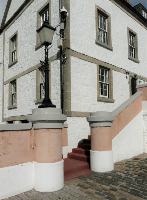
Images are sourced within 2km of 55.937465/-4.5006573 or Grid Reference NS4374. Thanks to Geograph Open Source API. All images are credited.


T Wood is located at Grid Ref: NS4374 (Lat: 55.937465, Lng: -4.5006573)
Unitary Authority: West Dunbartonshire
Police Authority: Argyll and West Dunbartonshire
What 3 Words
///adhesive.tone.usage. Near Bishopton, Renfrewshire
Nearby Locations
Related Wikis
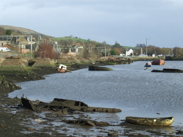
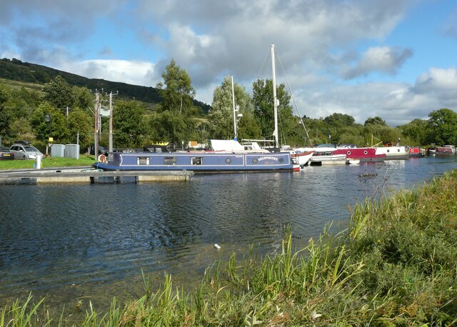
Bowling, West Dunbartonshire
Bowling (Scots: Bowlin, Scottish Gaelic: Bolan) is a village in West Dunbartonshire, Scotland, with a population of 740 (2015). It lies on the north bank...

Littlemill distillery
Littlemill distillery was a Scottish malt whisky distillery in Bowling, West Dunbartonshire and is proven to be Scotland's first and oldest licensed whisky...
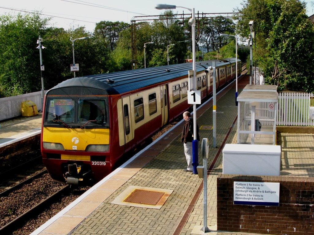
Bowling railway station
Bowling railway station serves the village of Bowling in the West Dunbartonshire region of Scotland. This station is on the North Clyde Line, between Kilpatrick...

Bowling railway station (Lanarkshire and Dunbartonshire Railway)
Bowling railway station was a railway station located in the village of Bowling, Scotland, on the Lanarkshire and Dunbartonshire Railway. Bowling station...
Nearby Amenities
Located within 500m of 55.937465,-4.5006573Have you been to T Wood?
Leave your review of T Wood below (or comments, questions and feedback).