High Bardrain Wood

Wood, Forest in Renfrewshire

Scotland

High Bardrain Wood

Transmitter mast at Sergeant Law This is one of three masts on the hill. The other two stand not far to the WSW: <a href="https://www.geograph.org.uk/photo/2939846">NS4559 : Transmitter masts at Sergeant Law</a>. They provide DAB digital radio coverage, and, according to Secret Scotland, they are also leased by the MOD: <span class="nowrap"><a title="http://www.secretscotland.org.uk/index.php/Secrets/SergeantLawMasts" rel="nofollow ugc noopener" href="http://www.secretscotland.org.uk/index.php/Secrets/SergeantLawMasts">Link</a><img style="margin-left:2px;" alt="External link" title="External link - shift click to open in new window" src="https://s1.geograph.org.uk/img/external.png" width="10" height="10"/></span>
Transmitter mast at Sergeant Law Credit: Lairich Rig

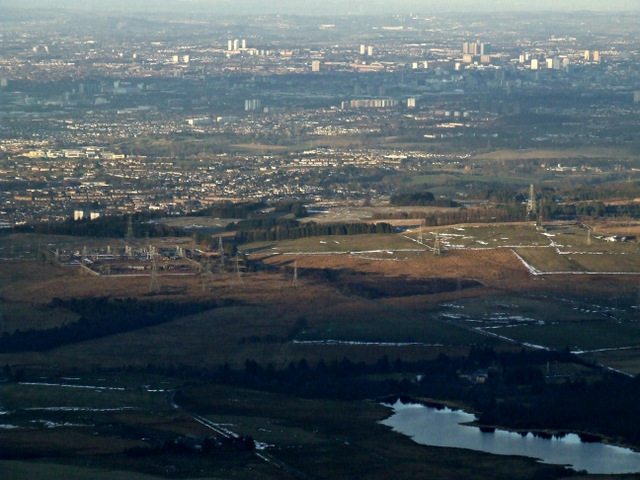
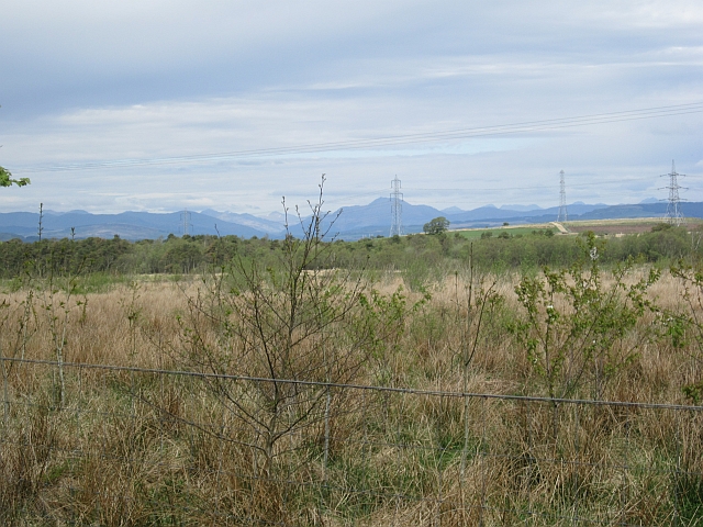
High Bardrain Wood is a picturesque woodland located in Renfrewshire, Scotland. Situated on the southern slopes of the Gleniffer Braes, it covers an area of approximately 120 hectares. The wood is part of the wider Clyde Muirshiel Regional Park, which is renowned for its stunning landscapes and rich biodiversity.

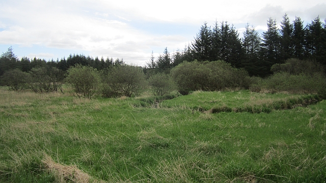
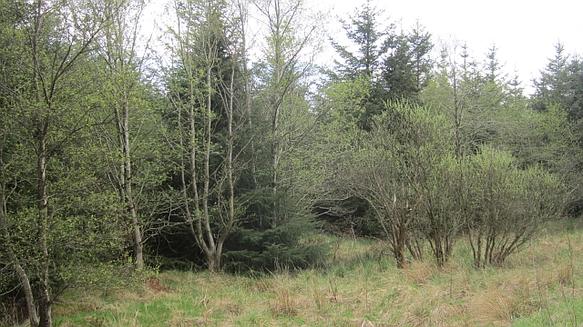
High Bardrain Wood is predominantly composed of native tree species such as oak, birch, and rowan. These trees create a dense canopy, providing a habitat for a variety of wildlife. The wood is a haven for birdwatchers, with species such as buzzards, owls, and woodpeckers frequently spotted among the treetops.

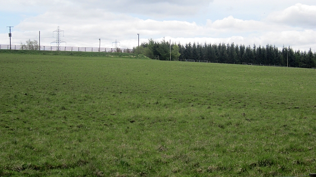
The wood is crisscrossed by a network of well-maintained footpaths, making it popular with walkers and hikers. These paths offer visitors the opportunity to explore the woodland's diverse flora and fauna at their own pace. Additionally, the wood is home to several designated mountain biking trails, providing adrenaline-pumping adventures for cycling enthusiasts.

High Bardrain Wood also boasts a number of picnic areas, making it an ideal spot for families and friends to enjoy a day out in nature. The tranquil atmosphere and beautiful scenery contribute to a sense of relaxation and serenity.

The wood is easily accessible, with nearby parking facilities and public transport links. Whether one is seeking a peaceful stroll, an adrenaline-fueled bike ride, or simply a place to unwind amidst nature, High Bardrain Wood offers a little something for everyone.

If you have any feedback on the listing, please let us know in the comments section below.

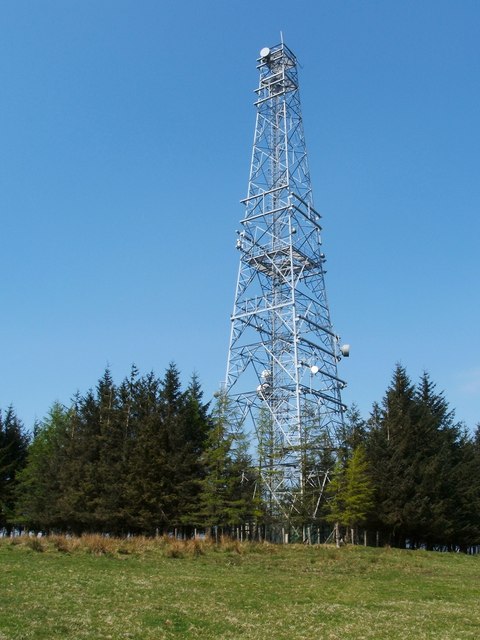
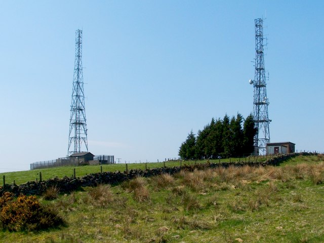
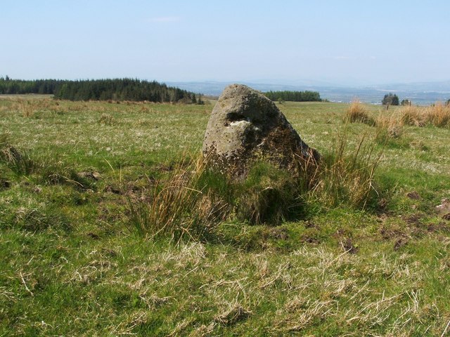
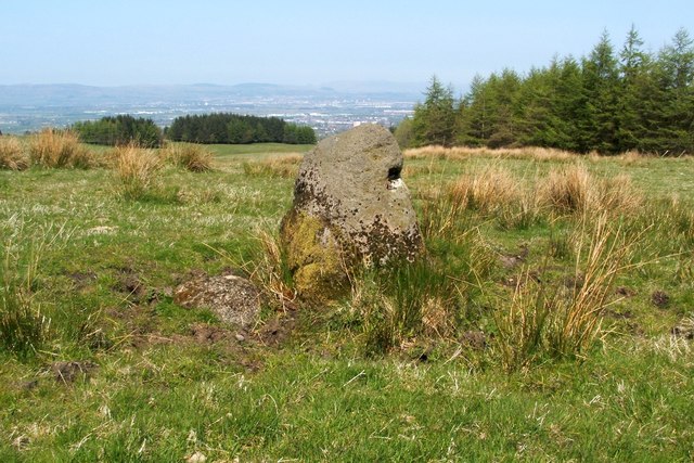
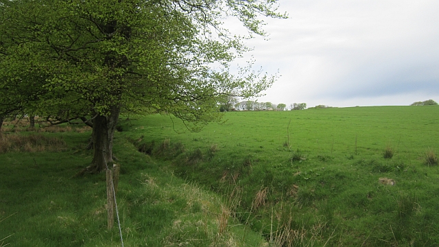
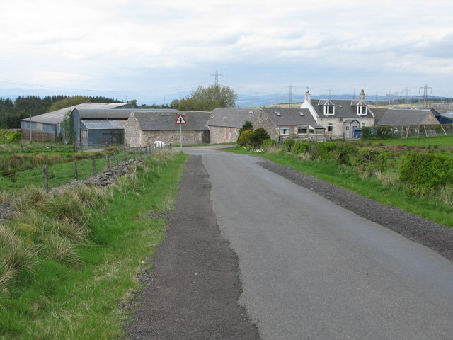
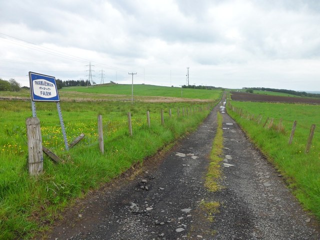
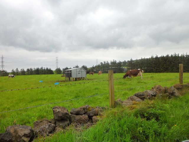
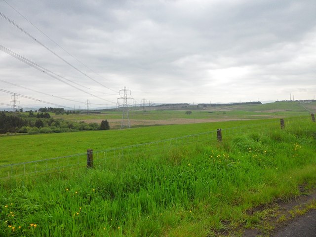
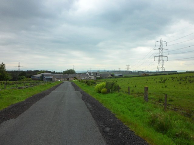
High Bardrain Wood Images

Images are sourced within 2km of 55.80536/-4.4921768 or Grid Reference NS4359. Thanks to Geograph Open Source API. All images are credited.

Transmitter mast at Sergeant Law This is one of three masts on the hill. The other two stand not far to the WSW: <a href="https://www.geograph.org.uk/photo/2939846">NS4559 : Transmitter masts at Sergeant Law</a>. They provide DAB digital radio coverage, and, according to Secret Scotland, they are also leased by the MOD: <span class="nowrap"><a title="http://www.secretscotland.org.uk/index.php/Secrets/SergeantLawMasts" rel="nofollow ugc noopener" href="http://www.secretscotland.org.uk/index.php/Secrets/SergeantLawMasts">Link</a><img style="margin-left:2px;" alt="External link" title="External link - shift click to open in new window" src="https://s1.geograph.org.uk/img/external.png" width="10" height="10"/></span>
Transmitter mast at Sergeant Law
This is one of three masts on the hill. The other two stand not far to the WSW: NS4559 : Transmitter masts at Sergeant Law. They provide DAB digital radio coverage, and, according to Secret Scotland, they are also leased by the MOD: LinkExternal link
Transmitter masts at Sergeant Law These are two of a group of three masts on a hill called Sergeant Law. These two are near the summit of the hill, while the other one is further to the ENE: <a href="https://www.geograph.org.uk/photo/2939828">NS4559 : Transmitter mast at Sergeant Law</a>; see that item for further information.

There is a Serjeantlaw (farm) on Roy's Military Survey of Scotland (1740s-50s), showing that the hill had its present name at that time. A "law" is a round/conical, generally isolated hill.
Transmitter masts at Sergeant Law
These are two of a group of three masts on a hill called Sergeant Law. These two are near the summit of the hill, while the other one is further to the ENE: NS4559 : Transmitter mast at Sergeant Law; see that item for further information. There is a Serjeantlaw (farm) on Roy's Military Survey of Scotland (1740s-50s), showing that the hill had its present name at that time. A "law" is a round/conical, generally isolated hill.
Possible standing stone The stone is about a metre tall, and it stands about 380 metres to the north-east of the summit of Sergeant Law. It may or not be an antiquity, but I have recorded it here because it appears to be very similar to other stones nearby that are marked as antiquities on the map: <a href="https://www.geograph.org.uk/photo/2311485">NS4560 : Standing stones at Gleniffer Braes</a>.

See <a href="https://www.geograph.org.uk/photo/2943483">NS4559 : Possible standing stone</a> for another view of this stone, and for further details.
Possible standing stone
The stone is about a metre tall, and it stands about 380 metres to the north-east of the summit of Sergeant Law. It may or not be an antiquity, but I have recorded it here because it appears to be very similar to other stones nearby that are marked as antiquities on the map: NS4560 : Standing stones at Gleniffer Braes. See NS4559 : Possible standing stone for another view of this stone, and for further details.
Possible standing stone The stone is about a metre tall, and it stands about 380 metres to the north-east of the summit of Sergeant Law. It may or may not be a genuine antiquity (it has not been recorded as such), but it caught my attention because it appears to be very much like other stones nearby which are considered to be standing stones, and which are marked as antiquities on the map: <a href="https://www.geograph.org.uk/photo/2311485">NS4560 : Standing stones at Gleniffer Braes</a>. For this reason, I feel that the stone is worth pointing out and recording.

For another view of this stone, see <a href="https://www.geograph.org.uk/photo/2943482">NS4559 : Possible standing stone</a>.
Possible standing stone
The stone is about a metre tall, and it stands about 380 metres to the north-east of the summit of Sergeant Law. It may or may not be a genuine antiquity (it has not been recorded as such), but it caught my attention because it appears to be very much like other stones nearby which are considered to be standing stones, and which are marked as antiquities on the map: NS4560 : Standing stones at Gleniffer Braes. For this reason, I feel that the stone is worth pointing out and recording. For another view of this stone, see NS4559 : Possible standing stone.
Caplaw Dam from the air With Paisley and Glasgow spreading into the distance.
Caplaw Dam from the air
With Paisley and Glasgow spreading into the distance.
Sergeant Law Masts and one of the powerlines radiating from the nearby substation.
Sergeant Law
Masts and one of the powerlines radiating from the nearby substation.
Four way pylon Junction of power lines near the Neilston substation.
Four way pylon
Junction of power lines near the Neilston substation.
B775 Smooth and straight, heading over the plateau from Gleniffer Braes.
B775
Smooth and straight, heading over the plateau from Gleniffer Braes.
Young woodland Near the old Peesweep Sanatorium, now Lapwing Lodge. There is a view northwards towards Ben Lomond.
Young woodland
Near the old Peesweep Sanatorium, now Lapwing Lodge. There is a view northwards towards Ben Lomond.
Caplaw Field between Caplaw and the B775.
Caplaw
Field between Caplaw and the B775.
Old Patrick Water Wetland amongst conifers.
Old Patrick Water
Wetland amongst conifers.
Former mossland, Plymuir A former bog, now conifer wood.
Former mossland, Plymuir
A former bog, now conifer wood.
Field and strip wood, Hartfield Quite a wet area.
Field and strip wood, Hartfield
Quite a wet area.
Crossroads at Middleton Farm Looking along Fereneze Road towards Sergeantlaw Road. Fereneze Road continues as Shilford Road beyond the crossroads.
Crossroads at Middleton Farm
Looking along Fereneze Road towards Sergeantlaw Road. Fereneze Road continues as Shilford Road beyond the crossroads.
Road to Thornliemuir Farm In the Gleniffer Braes.
Road to Thornliemuir Farm
In the Gleniffer Braes.
Field of cattle near Mossneuk Farm In the hills south of Paisley.
Field of cattle near Mossneuk Farm
In the hills south of Paisley.
Pylons running towards Caplaw Farm The farm can be seen in the middle distance to the left of the pylons.
Pylons running towards Caplaw Farm
The farm can be seen in the middle distance to the left of the pylons.
Middleton Farm from the south
Show me another place!

High Bardrain Wood is located at Grid Ref: NS4359 (Lat: 55.80536, Lng: -4.4921768)

Unitary Authority: Renfrewshire

Police Authority: Renfrewshire and Inverclyde

What 3 Words

///pace.thinks.snaps. Near Johnstone, Renfrewshire

Related Wikis

Nearby Amenities

Located within 500m of 55.80536,-4.4921768
Power: tower
Lat/Long: 55.8088395/-4.4872909
Power: pole
Lat/Long: 55.8025644/-4.4979589
Power: pole
Lat/Long: 55.8022037/-4.4968069
Power: pole
Lat/Long: 55.8018314/-4.495582
Power: pole
Lat/Long: 55.8014719/-4.4944279
Power: pole
Lat/Long: 55.8011172/-4.4932717
The data included in this document is from www.openstreetmap.org. The data is made available under ODbL.

Have you been to High Bardrain Wood?

Leave your review of High Bardrain Wood below (or comments, questions and feedback).