Conyston Plantation
Wood, Forest in Renfrewshire
Scotland
Conyston Plantation

Conyston Plantation is a picturesque wood located in Renfrewshire, Scotland. Spread across an area of approximately 200 acres, it is a well-preserved forest that offers a serene escape from the hustle and bustle of urban life.
The woodland is characterized by a diverse range of tree species, including oak, beech, birch, and pine. The mature trees create a dense canopy that provides a habitat for various wildlife species, such as red squirrels, roe deer, and a variety of bird species. It is a haven for nature enthusiasts and photographers, who can explore the plantation's numerous trails and enjoy its tranquil beauty.
Conyston Plantation also boasts a rich history. It is believed to have been originally part of the estate of the Earl of Dundonald, dating back to the 18th century. The wood has witnessed many changes throughout the years, including periods of commercial timber production. However, it is now managed by the local council with a focus on conservation and public access.
Visitors to Conyston Plantation can enjoy a range of activities, including walking, cycling, and wildlife spotting. The network of well-maintained paths ensures accessibility for all, making it a popular destination for families and outdoor enthusiasts alike. Additionally, the wood is located in close proximity to other attractions, such as the historic town of Paisley and the picturesque Clyde Muirshiel Regional Park.
In conclusion, Conyston Plantation is a beautiful woodland in Renfrewshire, offering a tranquil retreat and a chance to immerse oneself in nature. Its diverse flora and fauna, coupled with its rich history and recreational opportunities, make it a must-visit destination for anyone seeking solace in Scotland's natural beauty.
If you have any feedback on the listing, please let us know in the comments section below.
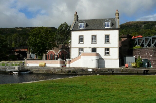
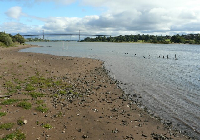
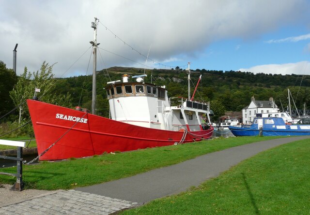
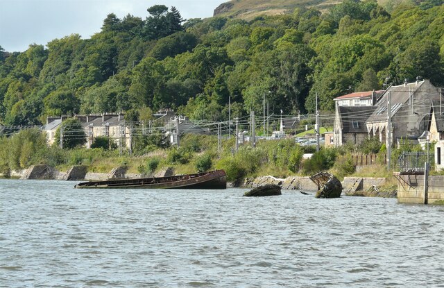
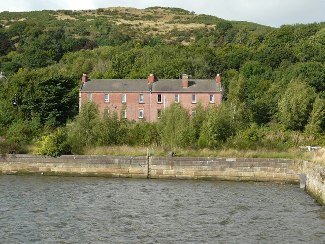
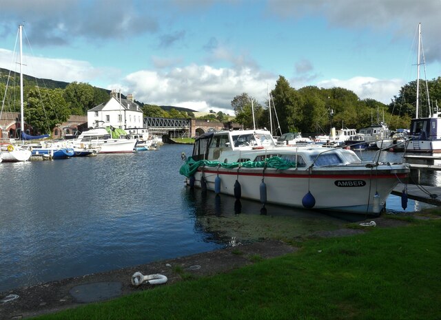
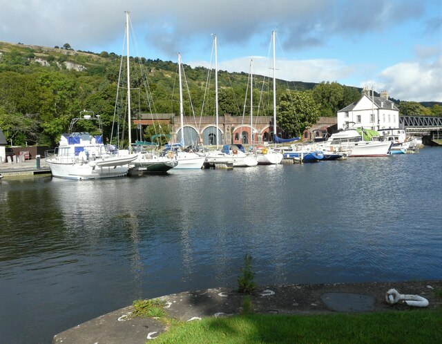
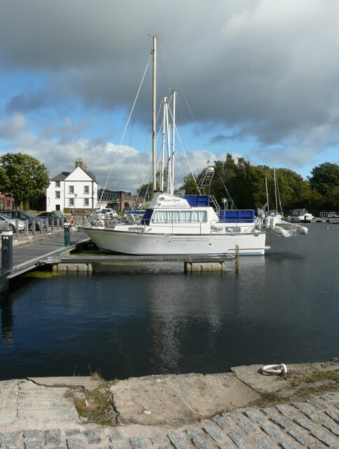
Conyston Plantation Images
Images are sourced within 2km of 55.91749/-4.5012751 or Grid Reference NS4372. Thanks to Geograph Open Source API. All images are credited.


Conyston Plantation is located at Grid Ref: NS4372 (Lat: 55.91749, Lng: -4.5012751)
Unitary Authority: Renfrewshire
Police Authority: Renfrewshire and Inverclyde
What 3 Words
///ember.dishes.clef. Near Bishopton, Renfrewshire
Nearby Locations
Related Wikis
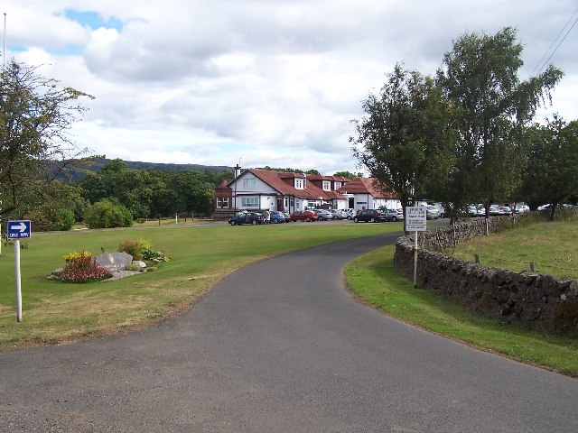
Erskine Golf Club
Erskine Golf Club is on the banks of the River Clyde at Erskine, Renfrewshire. It sits on the border between Erskine and Bishopton. The club takes its...
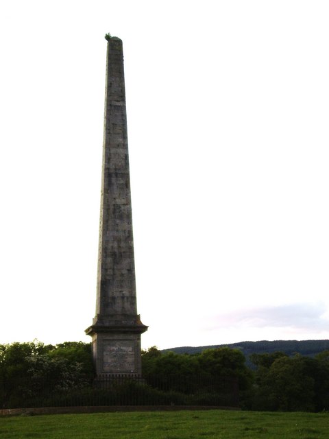
Blantyre Monument
Blantyre Monument is a commemorative stone in Erskine, Renfrewshire. The monument is in the obelisk style. It is situated adjacent to the B815 road; in...
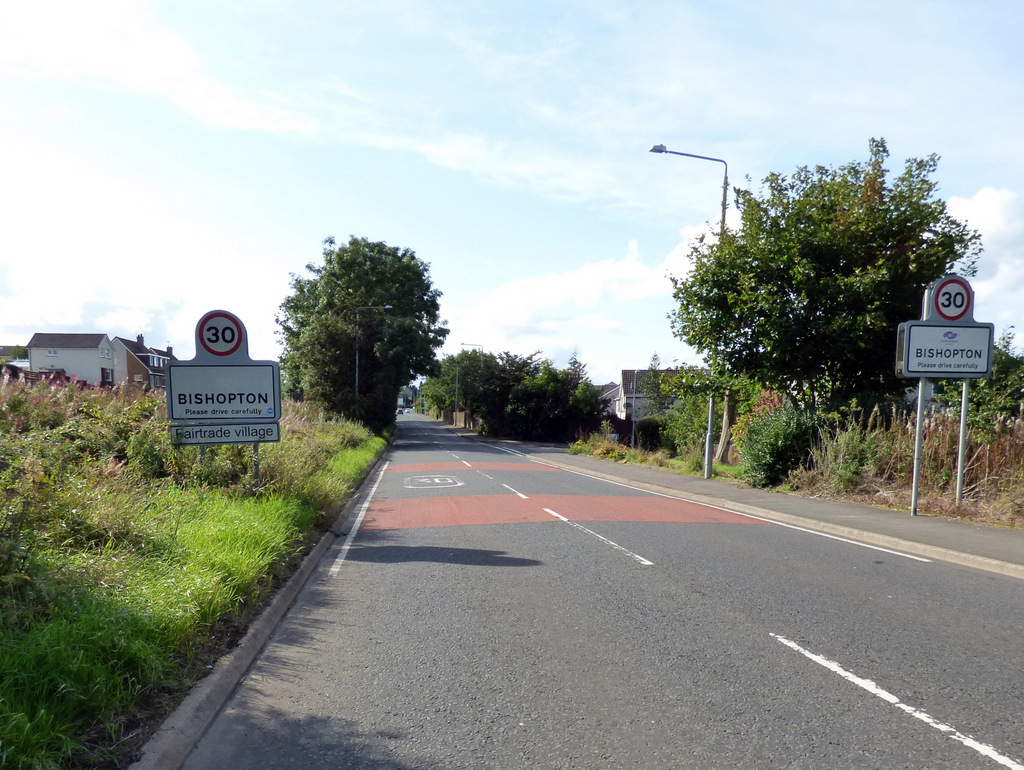
Bishopton, Renfrewshire
Bishopton (/bɪʃəptən/) (Scots: Bishoptoun; Scottish Gaelic: Baile an Easbaig) is a village in Renfrewshire, Scotland. It is located around 2 miles (3 km...
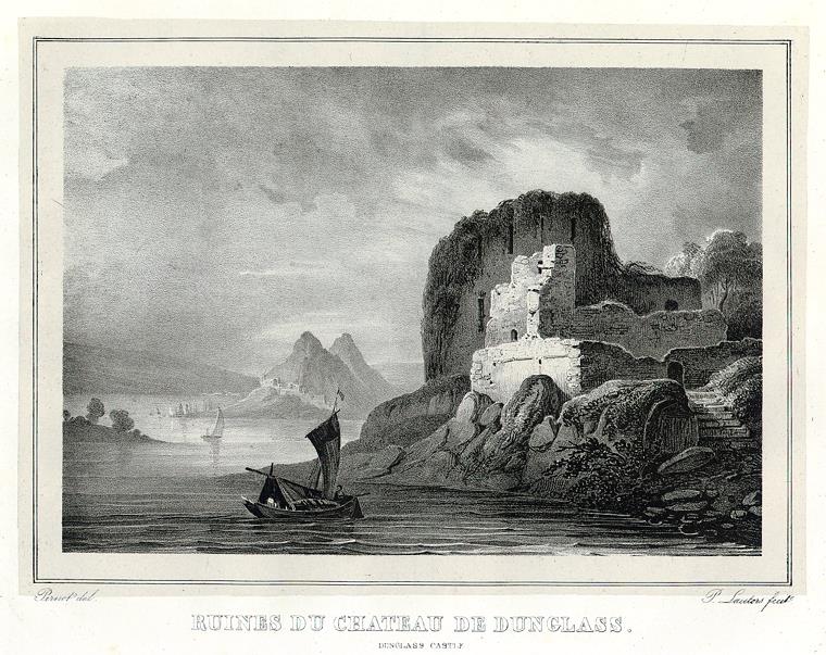
Dunglass Castle
Dunglass Castle, situated in West Dunbartonshire on a rocky cliff overlooking the River Clyde, is a 14th-century ruinous castle. It was designated as a...
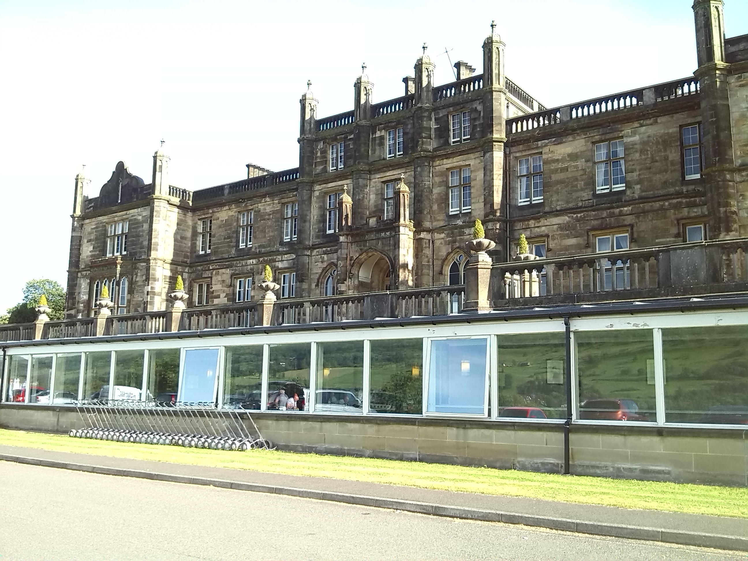
Mar Hall
Mar Hall is a 5-star hotel and golf resort in Bishopton, Renfrewshire. It is situated in Erskine House, a category A listed building. Formerly the building...

Erskine (charity)
Erskine is a veterans care and support charity headquartered in Erskine, Renfrewshire, but operating across the Central Belt of Scotland. It provides a...

Littlemill distillery
Littlemill distillery was a Scottish malt whisky distillery in Bowling, West Dunbartonshire and is proven to be Scotland's first and oldest licensed whisky...
Erskine Castle
Erskine Castle was a castle, about 5 miles (8 km) north of Erskine, Renfrewshire, Scotland, south of the River Clyde, on the shore. == History == The Erskines...
Nearby Amenities
Located within 500m of 55.91749,-4.5012751Have you been to Conyston Plantation?
Leave your review of Conyston Plantation below (or comments, questions and feedback).