Craigston Wood
Wood, Forest in Renfrewshire
Scotland
Craigston Wood

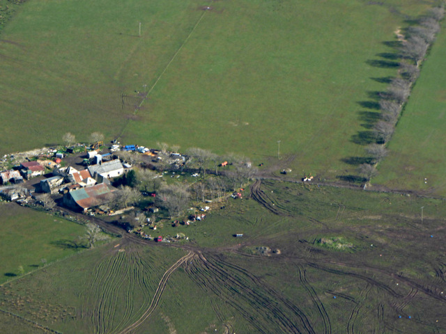
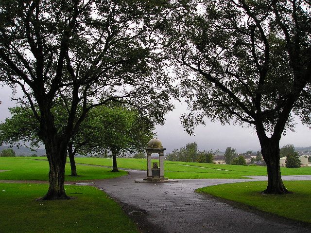
Craigston Wood is a beautiful woodland located in Renfrewshire, Scotland. Covering an area of approximately 20 hectares, it is a popular destination for nature lovers and outdoor enthusiasts. The wood is situated near the village of Bridge of Weir and can be easily accessed by car or on foot.
The wood is predominantly made up of deciduous trees, including oak, beech, and birch, providing a stunning display of colors during autumn. The forest floor is covered in a thick carpet of ferns and wildflowers, creating a vibrant and diverse ecosystem.
Walking trails wind their way through the wood, offering visitors the opportunity to explore and immerse themselves in nature. These paths are well-maintained and suitable for all ages and fitness levels. Along the way, one can spot various wildlife such as squirrels, rabbits, and a wide variety of bird species.
Craigston Wood also boasts a picnic area, making it an ideal spot for a family day out. Visitors can enjoy a leisurely picnic surrounded by the peacefulness of nature, soaking in the tranquility that the wood has to offer.
The wood is managed by the local forestry commission and is open to the public throughout the year. It provides a serene escape from the hustle and bustle of everyday life, allowing visitors to reconnect with nature and enjoy the beauty of the Scottish countryside.
If you have any feedback on the listing, please let us know in the comments section below.
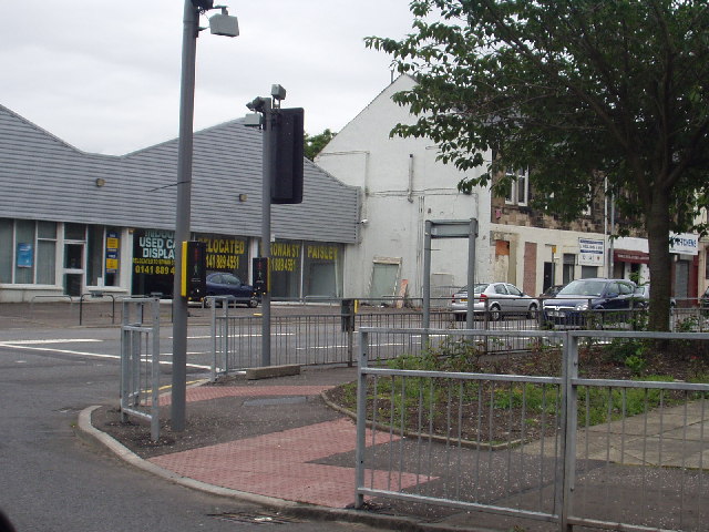
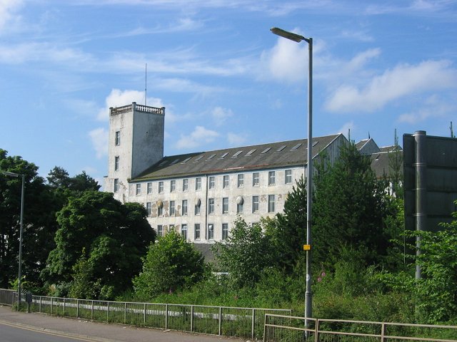
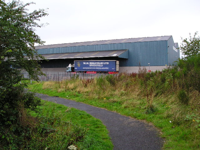
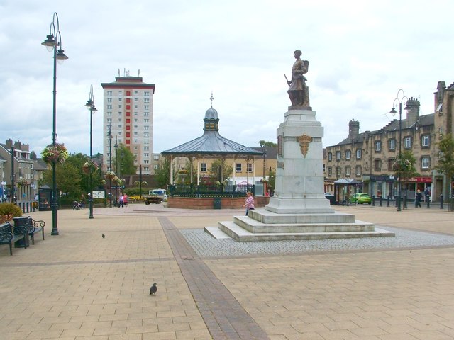
Craigston Wood Images
Images are sourced within 2km of 55.82332/-4.5018515 or Grid Reference NS4361. Thanks to Geograph Open Source API. All images are credited.


Craigston Wood is located at Grid Ref: NS4361 (Lat: 55.82332, Lng: -4.5018515)
Unitary Authority: Renfrewshire
Police Authority: Renfrewshire and Inverclyde
What 3 Words
///quack.comedians.beats. Near Johnstone, Renfrewshire
Nearby Locations
Related Wikis

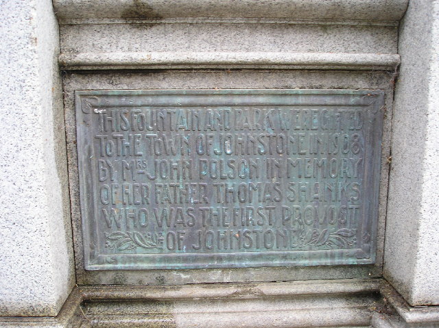
Johnstone Castle
Johnstone Castle (Scots: Johnstoun Castle) is a structure and former mansion in the town of Johnstone in Renfrewshire, Scotland. It belonged to the Houstons...

Johnstone Burgh F.C.
Johnstone Burgh Football Club is a Scottish football club based in Johnstone, Renfrewshire, and play in West of Scotland League First Division. == Current... ==

Renfrew (district)
Renfrew District (Scottish Gaelic: Sgìre Rinn Friù) was, between 1975 and 1996, one of nineteen local government districts in the Strathclyde region of...

Renfrewshire (historic)
Renfrewshire or the County of Renfrew is a historic county, registration county and lieutenancy area in the west central Lowlands of Scotland. The lieutenancy...

Johnstone railway station
Johnstone railway station serves the town of Johnstone, Renfrewshire, Scotland. The station is managed by ScotRail and is on the Ayrshire Coast Line 10...
Johnstone
Johnstone (Scots: Johnstoun, Scottish Gaelic: Baile Iain) is a town in the administrative area of Renfrewshire and larger historic county of the same name...

Elderslie, Scotland
Elderslie (Scottish Gaelic: Achadh na Feàrna) is a village in the council area and historic county of Renfrewshire in west central Scotland. It chiefly...

Paisley and Renfrewshire South (UK Parliament constituency)
Paisley and Renfrewshire South is a constituency of the House of Commons, located in Renfrewshire, Scotland to the southwest of Glasgow. It elects one...
Nearby Amenities
Located within 500m of 55.82332,-4.5018515Have you been to Craigston Wood?
Leave your review of Craigston Wood below (or comments, questions and feedback).