Capel Dewi

Settlement in Cardiganshire

Wales

Capel Dewi

B4459 north of Dolbantau
B4459 north of Dolbantau Credit: Stuart Logan

The requested URL returned error: 429 Too Many Requests

If you have any feedback on the listing, please let us know in the comments section below.
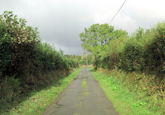
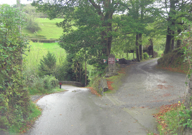
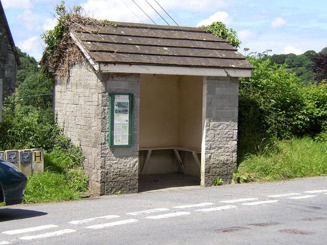
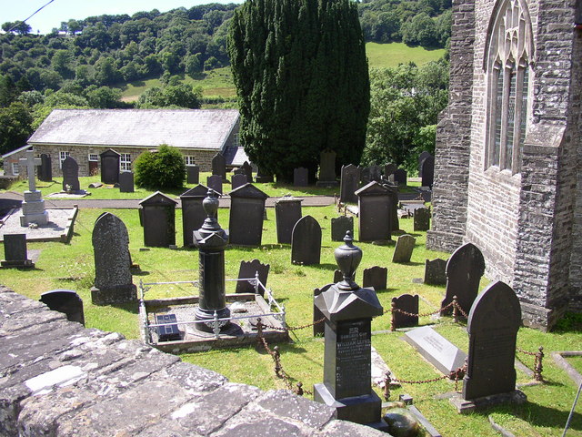
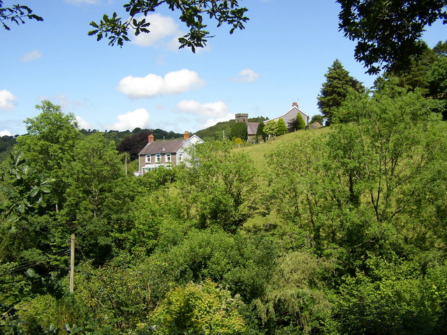
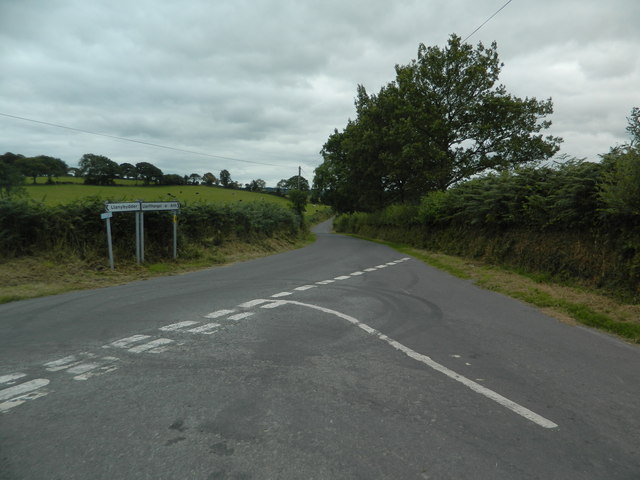
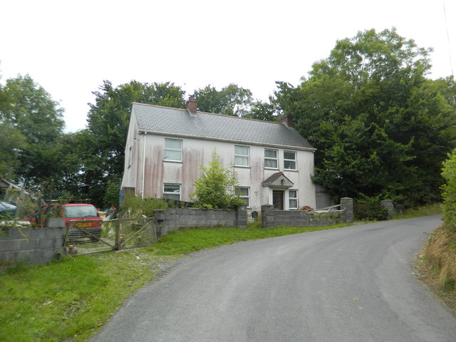
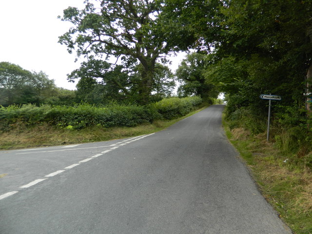
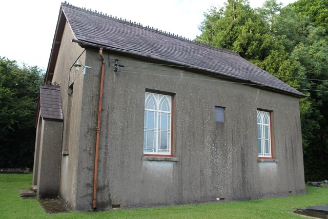
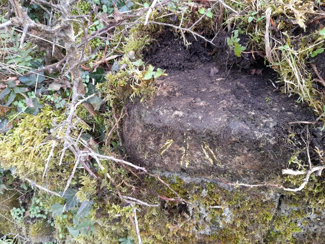
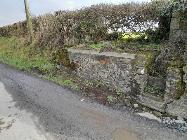
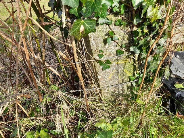
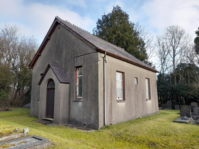
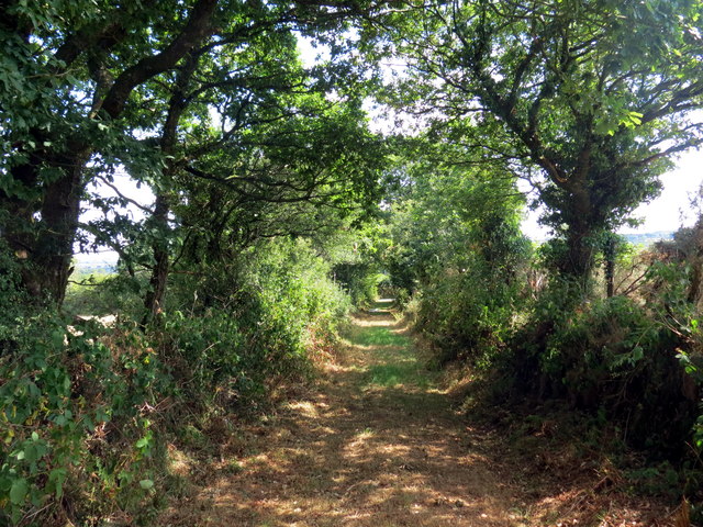
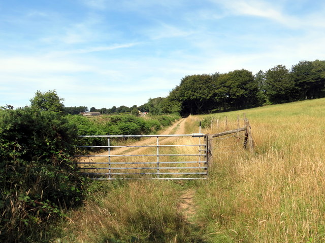
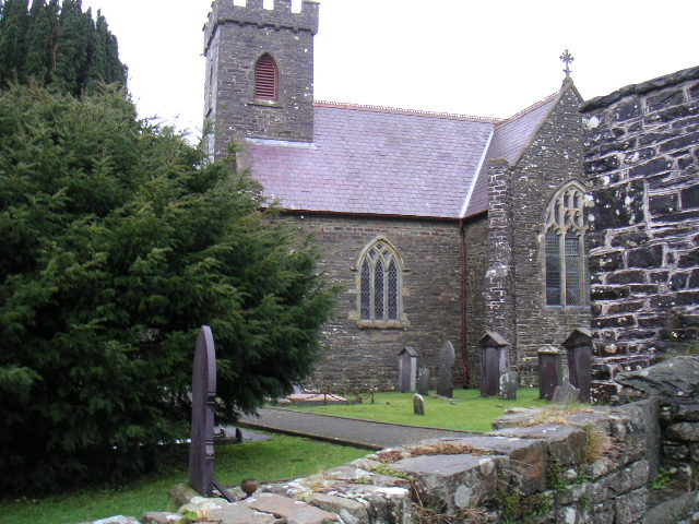
Capel Dewi Images

Images are sourced within 2km of 52.06006/-4.254656 or Grid Reference SN4542. Thanks to Geograph Open Source API. All images are credited.

B4459 north of Dolbantau
Pasture in the Afon Clettwr valley Although the little river is not directly visible it's running between the double row of trees in the centre right of the picture.
Pasture in the Afon Clettwr valley
Although the little river is not directly visible it's running between the double row of trees in the centre right of the picture.
Two unnamed roads form T-junction east of Pen-rhiw
Entrance to Rock Mill On the brown sign it states 'Melin Wlan', Rock Mill, Woollen Mill. Interesting because this is the last remaining, water-powered, commercial Woollen Mill still working in Wales. The Mill was built in the 1890s by the great grandfather of the present owner and operator, Mr Donald Morgan. See: <span class="nowrap"><a title="http://www.welshmills.org.uk/rockcd.m0.html" rel="nofollow ugc noopener" href="http://www.welshmills.org.uk/rockcd.m0.html">Link</a><img style="margin-left:2px;" alt="External link" title="External link - shift click to open in new window" src="https://s1.geograph.org.uk/img/external.png" width="10" height="10"/></span>
Entrance to Rock Mill
On the brown sign it states 'Melin Wlan', Rock Mill, Woollen Mill. Interesting because this is the last remaining, water-powered, commercial Woollen Mill still working in Wales. The Mill was built in the 1890s by the great grandfather of the present owner and operator, Mr Donald Morgan. See: LinkExternal link
The substantial bus shelter at Capel Dewi Very useful if waiting for the infrequent bus in the rain!
The substantial bus shelter at Capel Dewi
Very useful if waiting for the infrequent bus in the rain!
The graveyard at Capel Dewi Unlike some, this is very well maintained.
The graveyard at Capel Dewi
Unlike some, this is very well maintained.
Capel Dewi taken from Rock Mill A particularly attractive piece of countryside.  The Afon Clettwr, a tributary of the Teifi, runs through the trees at the bottom of the picture.
Capel Dewi taken from Rock Mill
A particularly attractive piece of countryside. The Afon Clettwr, a tributary of the Teifi, runs through the trees at the bottom of the picture.
Road junction at Allt-fechan
Pant-yr-emen,  Cwm College
Pant-yr-emen, Cwm College
At the turn-off for Maesycrugiau
Capel Waunifor Maesycrugiau This chapel, dated 1887, is built in the Later Vernacular style of the gable entry type. Two inscription stones of the west wall are inscribed T. B./1760/ Capel. And CAPEL WAUNIFOR/a/Adeiladwyd gan Thomas Bowen,Ysw./1760/Ail-adeiladwyd/1854 In 1905 (Royal Commission on the Church of England and other Religious Bodies in Wales and Monmouthshire) there were 90 sittings in the chapel which was valued at £400. RCAHMW, November 2009
Capel Waunifor Maesycrugiau
This chapel, dated 1887, is built in the Later Vernacular style of the gable entry type. Two inscription stones of the west wall are inscribed T. B./1760/ Capel. And CAPEL WAUNIFOR/a/Adeiladwyd gan Thomas Bowen,Ysw./1760/Ail-adeiladwyd/1854 In 1905 (Royal Commission on the Church of England and other Religious Bodies in Wales and Monmouthshire) there were 90 sittings in the chapel which was valued at £400. RCAHMW, November 2009
Ordnance Survey Rivet This OS rivet can be found on the churn stand at the entrance to Cors-y-fran. It marks a point 202.393m above mean sea level. <a title="https://www.geograph.org.uk/photo/7400859" href="https://www.geograph.org.uk/photo/7400859">Link</a>
Ordnance Survey Rivet
This OS rivet can be found on the churn stand at the entrance to Cors-y-fran. It marks a point 202.393m above mean sea level. Link
Churn Stand There is an Ordnance Survey rivet on the top of the stand. <a title="https://www.geograph.org.uk/photo/7400858" href="https://www.geograph.org.uk/photo/7400858">Link</a>
Churn Stand
There is an Ordnance Survey rivet on the top of the stand. Link
Ordnance Survey Cut Mark This OS cut mark can be found on the concrete post at the entrance to Cwm-Einon. It marks a point 200.695m above mean sea level.
Ordnance Survey Cut Mark
This OS cut mark can be found on the concrete post at the entrance to Cwm-Einon. It marks a point 200.695m above mean sea level.
Chapel
Chapel
Llwybr ceffyl ger Penrhiw / A bridleway near Penrhiw Llwybr ceffyl yn agosau at heol fach ger Ffarm Penrhiw.

A bridleway approaching a minor road near Penrhiw Farm (trans. hilltop).
Llwybr ceffyl ger Penrhiw / A bridleway near Penrhiw
Llwybr ceffyl yn agosau at heol fach ger Ffarm Penrhiw. A bridleway approaching a minor road near Penrhiw Farm (trans. hilltop).
Llwybr ceffyl ger Blaen Cwm / A bridleway near Blaen Cwm Llwybr ceffyl ger Blaen Cwm.

A bridleway near Blaen Cwm (trans. head of the valley).
Llwybr ceffyl ger Blaen Cwm / A bridleway near Blaen Cwm
Llwybr ceffyl ger Blaen Cwm. A bridleway near Blaen Cwm (trans. head of the valley).
Llwybr ceffyl  / Bridleway Llwybr ceffyl yr ucheldir yn mynd drwy gae gwair

An upland bridleway going through a hay field.
Llwybr ceffyl / Bridleway
Llwybr ceffyl yr ucheldir yn mynd drwy gae gwair An upland bridleway going through a hay field.
Show me another place!

Capel Dewi is located at Grid Ref: SN4542 (Lat: 52.06006, Lng: -4.254656)

Unitary Authority: Ceredigion

Police Authority: Dyfed Powys

What 3 Words

///valued.rests.banana. Near Llandysul, Ceredigion

Nearby Locations

Capel Dewi

Related Wikis

Capel Dewi, Llandysul

Capel Dewi is a small village in the county of Ceredigion, Wales. The village lies in the Clettwr Valley mostly on the eastern bank of the River Clettwr...

Rock Mill Llandysul

Rock Mill Llandysul (Welsh: Melin Wlân), in Capel Dewi, Llandysul, Ceredigion, is the last woollen mill in Wales to be powered by a water wheel. ��2�...

Derlwyn, Ceredigion

Derlwyn is a small village in the community of Llandysul, Ceredigion, Wales, which is 61.4 miles (98.8 km) from Cardiff and 180.9 miles (291.1 km) from...

Blaenborthyn

Blaenborthyn is a small village in the community of Llandysul, Ceredigion, Wales, which is 60.4 miles (97.2 km) from Cardiff and 179.9 miles (289.5 km...

Nearby Amenities

Located within 500m of 52.06006,-4.254656
Capel Dewi
Is In: Ceredigion, Wales, UK
Note: Old name of village is documented at https://commons.wikimedia.org/wiki/File:Rock_Woollen_Mill,_Capel_Dewi,_Landyssul_-_geograph.org.uk_-_612709.jpg
Old Name: Cilrhiwiau
Place: hamlet
Source: npe
Wikidata: Q5035234
Wikipedia: en:Capel Dewi, Llandysul
Lat/Long: 52.0600528/-4.2596437
Post Box
Lat/Long: 52.0612829/-4.2574858
Defibrillator
Emergency: defibrillator
Indoor: no
Operator: Siop Dewi
Lat/Long: 52.0589885/-4.2602508
Capel Dewi War Memorial
Historic: memorial
Material: stone
Memorial: war_memorial
Memorial Conflict: WW1;WW2
Url: https://www.wwwmp.co.uk/ceredigion-memorials/capel-dewi-war-memorial/
Lat/Long: 52.0590412/-4.2595187
Direction: SSW
Generator Method: photovoltaic
Generator Output Electricity: yes
Generator Solar Modules: 12
Generator Source: solar
Generator Type: solar_photovoltaic_panel
Location: roof
Power: generator
Lat/Long: 52.0589942/-4.2601962
Telephone
Booth: K6
Covered: booth
Listed Status: Grade II
Man Made: telephone_box
Lat/Long: 52.0594011/-4.258159
The data included in this document is from www.openstreetmap.org. The data is made available under ODbL.

Have you been to Capel Dewi?

Leave your review of Capel Dewi below (or comments, questions and feedback).