Crosshill Wood

Wood, Forest in Renfrewshire

Scotland

Crosshill Wood

Uplawmoor Hotel
Uplawmoor Hotel Credit: Josie Campbell

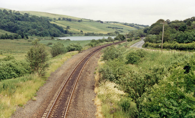
Crosshill Wood is a picturesque forest located in Renfrewshire, Scotland. Situated just south of the town of Lochwinnoch, the woodland covers an area of approximately 100 hectares and is a popular destination for nature lovers and outdoor enthusiasts.

The woodland is primarily composed of native broadleaf trees, including oak, birch, and hazel, which create a diverse and vibrant ecosystem. The thick canopy provides shelter and nesting sites for a variety of bird species, such as woodpeckers and owls, making it a haven for birdwatchers. Additionally, the forest floor is covered in a rich carpet of wildflowers and ferns during the spring and summer months, adding to the area's natural beauty.

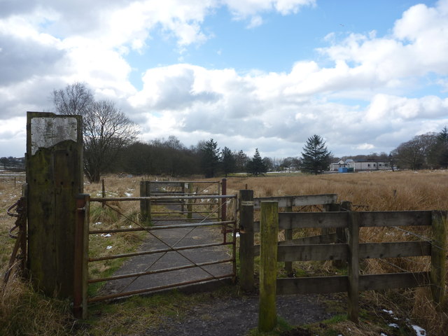
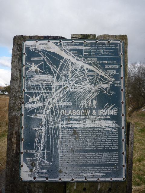
Several well-maintained trails traverse through the wood, offering visitors the opportunity to explore the area on foot. These paths are suitable for all abilities and provide stunning views of the surrounding countryside. Along the way, visitors may encounter various wildlife, including deer, rabbits, and squirrels.

Crosshill Wood also features a small pond, which attracts a range of aquatic creatures, including frogs and dragonflies. This tranquil spot provides a peaceful setting for relaxation and contemplation.

The woodland is managed by the local council and is a designated Site of Special Scientific Interest (SSSI), highlighting its ecological importance. As such, visitors are encouraged to respect the natural environment and adhere to any guidelines or restrictions in place.

Overall, Crosshill Wood offers a wonderful opportunity to connect with nature and enjoy the tranquility of a Scottish forest.

If you have any feedback on the listing, please let us know in the comments section below.

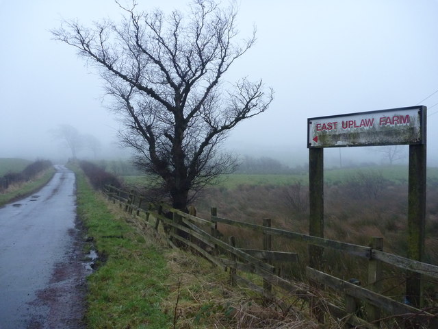
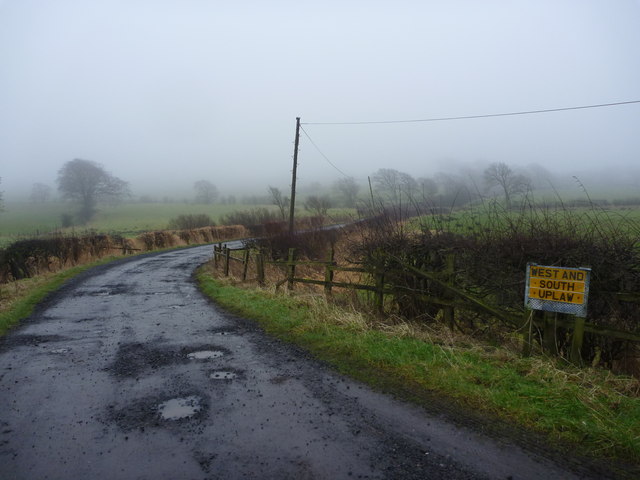
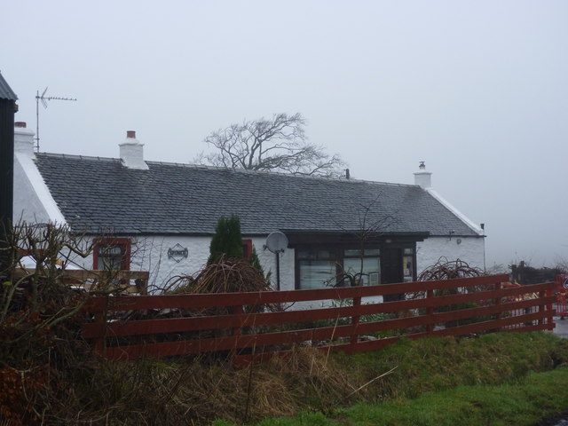
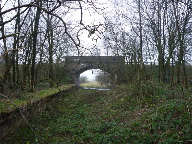
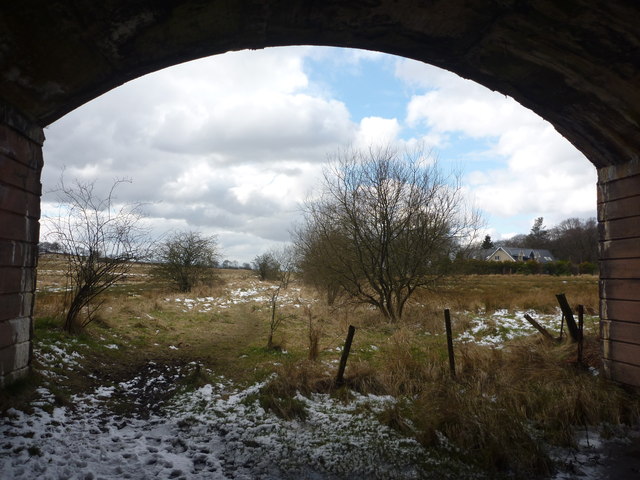
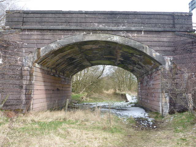
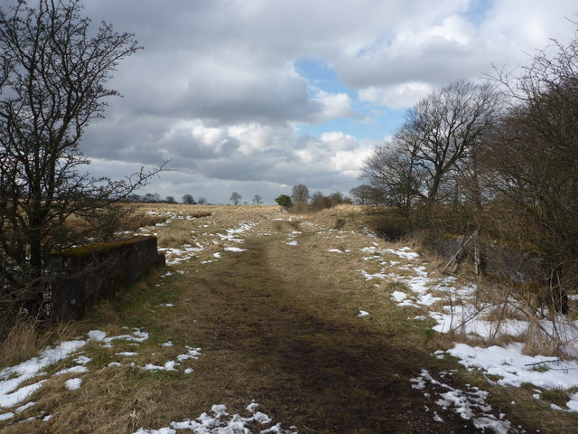
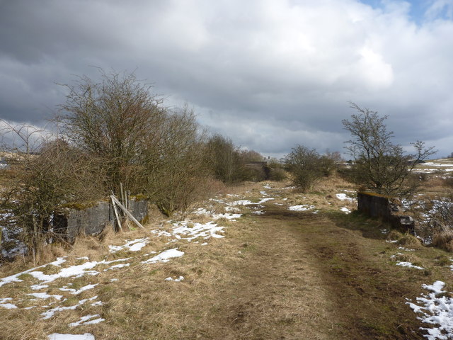
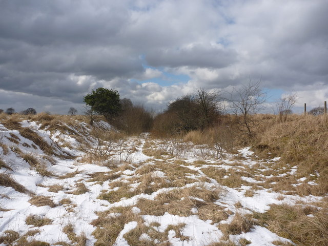
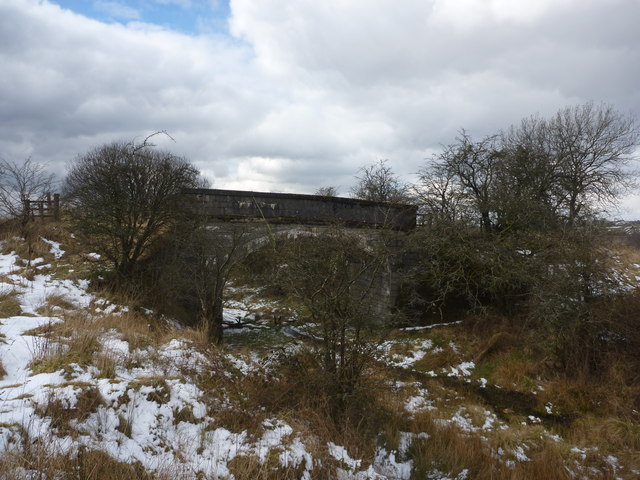
Crosshill Wood Images

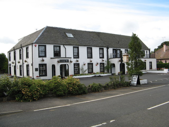
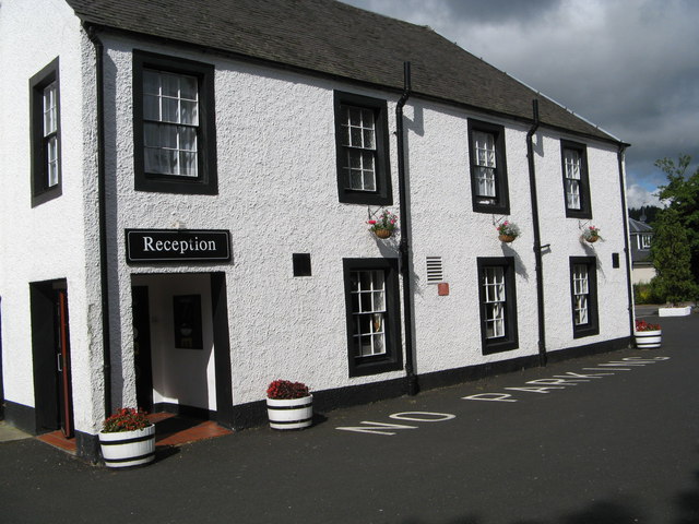
Images are sourced within 2km of 55.768034/-4.5172166 or Grid Reference NS4255. Thanks to Geograph Open Source API. All images are credited.

Uplawmoor Hotel
Uplawmoor Hotel
Uplawmoor Hotel Side view of reception area
Uplawmoor Hotel
Side view of reception area
Uplawmoor Hotel The restaurant
Uplawmoor Hotel
The restaurant
Communications mast above Finniebrae
Rural East Renfrewshire : East Uplaw Road-end A dreich morning near Uplawmoor.
Rural East Renfrewshire : East Uplaw Road-end
A dreich morning near Uplawmoor.
Rural East Renfrewshire : West and South Uplaw Road-end East Renfrewshire may have some excellent schools but many of the roads in this rural district are in an appalling condition.
Rural East Renfrewshire : West and South Uplaw Road-end
East Renfrewshire may have some excellent schools but many of the roads in this rural district are in an appalling condition.
Northern East Ayrshire : Spunkie Cottage near Uplawmoor
Rural East Renfrewshire : Uplawmoor Station
Site of Caldwell - later Uplawmoor, station This is the former Glasgow, Barrhead & Kilmarnock (later Glasgow & South-Western) line from Glasgow St Enoch, later from Glasgow Central - and by 1986 single-track, to Kilmarnock and Carlisle. Until 2/4/62 Caldwell was named 'Uplawmoor'; it was closed on 7/11/66 - after having been portrayed on TV as 'Tannochbrae' in 'Dr Finlay's Casebook'. The water ahead is Loch Libo.
Site of Caldwell - later Uplawmoor, station
This is the former Glasgow, Barrhead & Kilmarnock (later Glasgow & South-Western) line from Glasgow St Enoch, later from Glasgow Central - and by 1986 single-track, to Kilmarnock and Carlisle. Until 2/4/62 Caldwell was named 'Uplawmoor'; it was closed on 7/11/66 - after having been portrayed on TV as 'Tannochbrae' in 'Dr Finlay's Casebook'. The water ahead is Loch Libo.
Rural East Renfrewshire : Gates On The Castburn Path, Uplawmoor
Rural East Renfrewshire : Aged And Worn Sign On The Castburn Path, Uplawmoor This sign appears to date from the late 1980's and describes the "Glasgow and Irvine Railway Path and Cycleroute", a route that is a good few miles to the west of this location.
Rural East Renfrewshire : Aged And Worn Sign On The Castburn Path, Uplawmoor
This sign appears to date from the late 1980's and describes the "Glasgow and Irvine Railway Path and Cycleroute", a route that is a good few miles to the west of this location.
Rural East Renfrewshire : Tannoch Road Railway Bridge, Uplawmoor Station This bridge, at the southern end of the derelict platforms of the long-closed Uplawmoor station, carries Tannoch Road over the former Caledonian Railway line from Glasgow and Lanarkshire to the Ayrshire port of Ardrossan.
Rural East Renfrewshire : Tannoch Road Railway Bridge, Uplawmoor Station
This bridge, at the southern end of the derelict platforms of the long-closed Uplawmoor station, carries Tannoch Road over the former Caledonian Railway line from Glasgow and Lanarkshire to the Ayrshire port of Ardrossan.
Rural East Renfrewshire : South From Uplawmoor Station Standing underneath the Tannoch Road bridge, looking SW along the trackbed of the ex-Caledonian Railway line from Glasgow and Lanarkshire to the Ayrshire port of Ardrossan.
Rural East Renfrewshire : South From Uplawmoor Station
Standing underneath the Tannoch Road bridge, looking SW along the trackbed of the ex-Caledonian Railway line from Glasgow and Lanarkshire to the Ayrshire port of Ardrossan.
Rural East Renfrewshire : Tannoch Road Bridge and Uplawmoor Station Standing on the trackbed of the former Caledonian Railway line to Ardrossan, looking under the Tannoch Road bridge to the platform ends of the long demolished station at Uplawmoor.
Rural East Renfrewshire : Tannoch Road Bridge and Uplawmoor Station
Standing on the trackbed of the former Caledonian Railway line to Ardrossan, looking under the Tannoch Road bridge to the platform ends of the long demolished station at Uplawmoor.
Northern East Ayrshire : Small Parapets South of Uplawmoor Heading southwest from Uplawmoor on the old Caledonian Railway line.
Northern East Ayrshire : Small Parapets South of Uplawmoor
Heading southwest from Uplawmoor on the old Caledonian Railway line.
Northern East Ayrshire : Approaching The Boundary The narrow stream that flows under the trackbed between those parapets forms the boundary between East Ayrshire and East Renfrewshire.

The bridge in the distance is at the old Uplawmoor station in East Renfrewshire.
Northern East Ayrshire : Approaching The Boundary
The narrow stream that flows under the trackbed between those parapets forms the boundary between East Ayrshire and East Renfrewshire. The bridge in the distance is at the old Uplawmoor station in East Renfrewshire.
Northern East Ayrshire : Caledonian Railway Trackbed South of Uplawmoor This was the CR line from Lanarkshire to Ardrossan.
Northern East Ayrshire : Caledonian Railway Trackbed South of Uplawmoor
This was the CR line from Lanarkshire to Ardrossan.
Northern East Ayrshire : Pollick Farm Bridge near Uplawmoor This bridge carries a farm track over the trackbed of the former Caledonian Railway line from Lanarkshire to Ardrossan.
Northern East Ayrshire : Pollick Farm Bridge near Uplawmoor
This bridge carries a farm track over the trackbed of the former Caledonian Railway line from Lanarkshire to Ardrossan.
Show me another place!

Crosshill Wood is located at Grid Ref: NS4255 (Lat: 55.768034, Lng: -4.5172166)

Unitary Authority: East Renfrewshire

Police Authority: Greater Glasgow

What 3 Words

///earmarked.cheering.eyeliner. Near Howwood, Renfrewshire

Related Wikis

Uplawmoor (GB&K) railway station

Uplawmoor railway station was a railway station near the village of Uplawmoor, East Renfrewshire, Scotland. The station was originally part of the Glasgow...

Loch Libo

Loch Libo is a freshwater loch in East Renfrewshire, Parish of Neilston, Scotland. The Lugton Water has its source from the southern end of loch, running...

Uplawmoor

Uplawmoor is a village in East Renfrewshire, Scotland. Its population was 700 as of 2016. Historic Uplawmoor, associated for centuries with the Barony...

Caldwell, East Renfrewshire

Caldwell is a mansion and old estate with the remains of a castle nearby. These lands lie close to the Lugton Water and the villages of Uplawmoor in East...

Related Videos

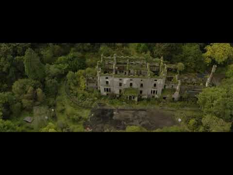
Caldwell House 5-10-21

DJI Mavic 2 Pro, Pocket 2, Ronin SC, Sony a6400.

exploring abandoned Caldwell house Glasgow

I posted it again because the last one the camera angle needed fixed.

Nearby Amenities

Located within 500m of 55.768034,-4.5172166
Caldwell Tower
Access: private
Castle Type: tower
Man Made: tower
Tower Type: defensive
Wikidata: Q2695543
Wikipedia: en:Caldwell, East Renfrewshire
Lat/Long: 55.7637212/-4.5160522
Power: pole
Lat/Long: 55.7639221/-4.5143625
Power: pole
Lat/Long: 55.7640029/-4.5156666
Power: pole
Lat/Long: 55.7641037/-4.518181
Power: pole
Lat/Long: 55.7641694/-4.5196205
Power: pole
Lat/Long: 55.7642315/-4.5210495
Power: pole
Lat/Long: 55.7645702/-4.5138417
Power: pole
Lat/Long: 55.7649265/-4.5135625
Power: pole
Lat/Long: 55.7658078/-4.5131896
Power: pole
Lat/Long: 55.7664617/-4.5129209
Power: pole
Lat/Long: 55.767336/-4.5125439
Power: pole
Lat/Long: 55.7679524/-4.5127584
Power: pole
Lat/Long: 55.7685196/-4.5130792
Power: pole
Lat/Long: 55.7691758/-4.513425
Power: pole
Lat/Long: 55.7688727/-4.5117473
Power: pole
Lat/Long: 55.769219/-4.510466
The data included in this document is from www.openstreetmap.org. The data is made available under ODbL.

Have you been to Crosshill Wood?

Leave your review of Crosshill Wood below (or comments, questions and feedback).